
- Brief description
-
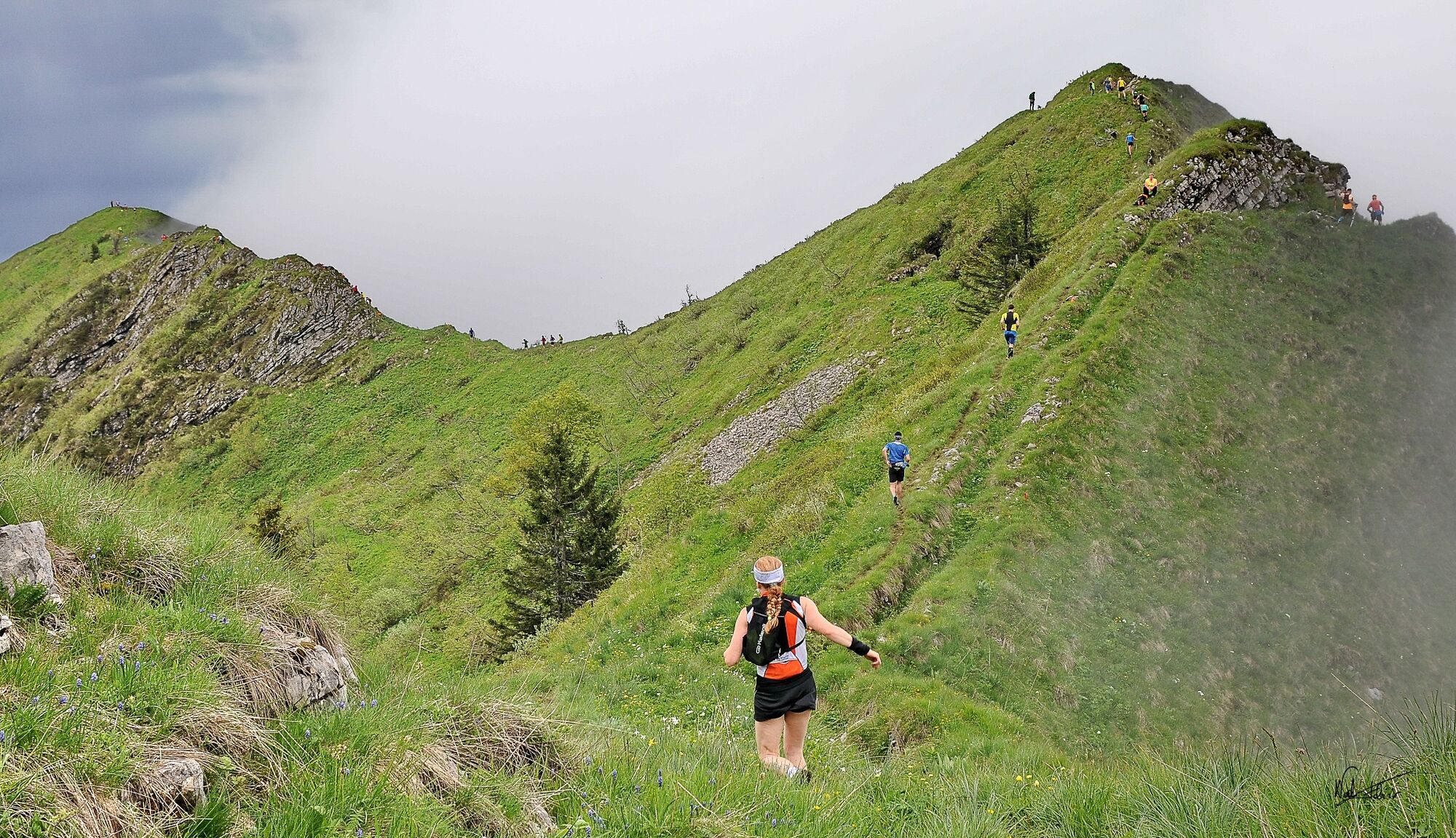
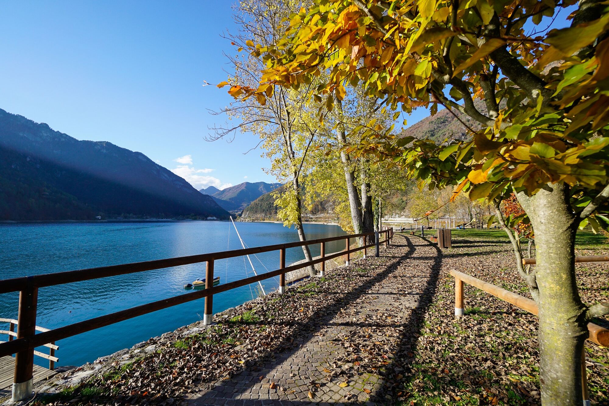
Standing at the sky's edge surrounded by history. Every year the blue sky, the turquoise lake and the green meadows form a scenic backdrop to Ledro Sky Race, an exciting trail running competition.
- Difficulty
-
difficult
- Rating
-
- Starting point
-
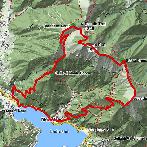
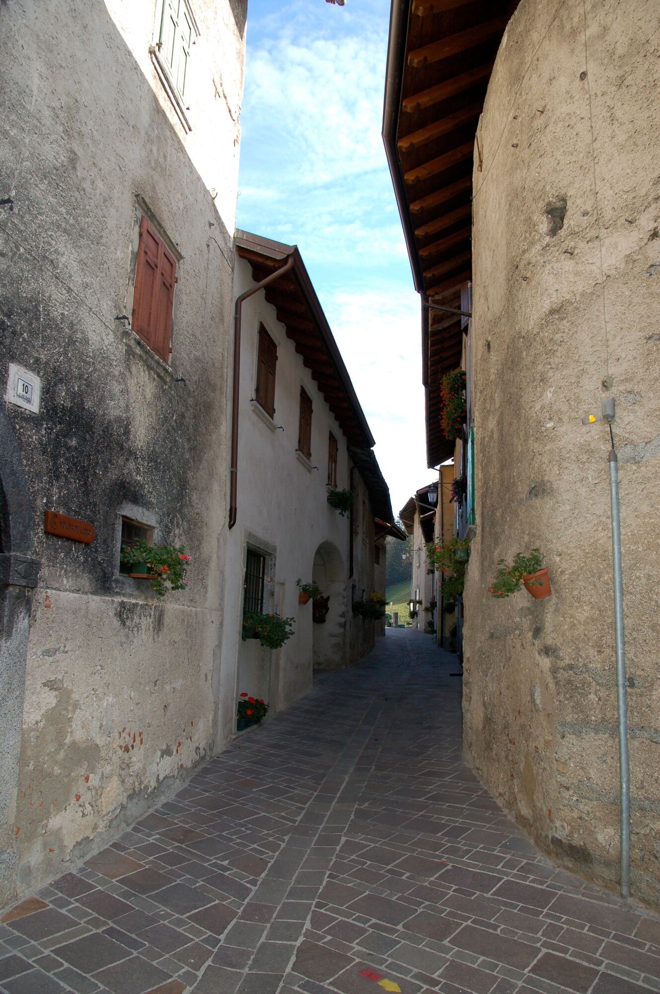
Mezzolago
- Route
-
Chiesa della Dedicazione di San Michele ArcangeloMezzolago (665 m)0.1 kmChiesa dell'Annunciazione di Maria1.9 kmPieve di Ledro (660 m)2.2 kmCoste Bariolo3.6 kmRavel (1,070 m)4.2 kmCornesei4.4 kmMonte Caret (1,793 m)8.1 kmCima Parì (1,991 m)9.9 kmCima Sclapa (1,887 m)10.7 kmCima d'Oro (1,802 m)13.3 kmOsservatoio Cima Oro (1,690 m)13.9 kmAlle Scale (1,620 m)14.1 kmSella (1,425 m)14.6 kmAl Corn16.7 kmChiesa della Dedicazione di San Michele Arcangelo18.8 kmMezzolago (665 m)18.9 km
- Best season
-
JanFebMarAprMayJunJulAugSepOctNovDec
- Description
-
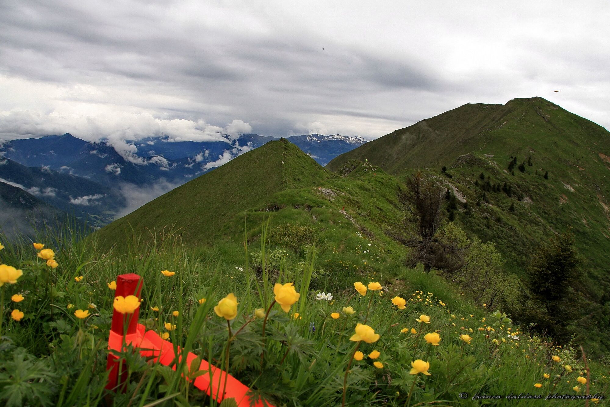
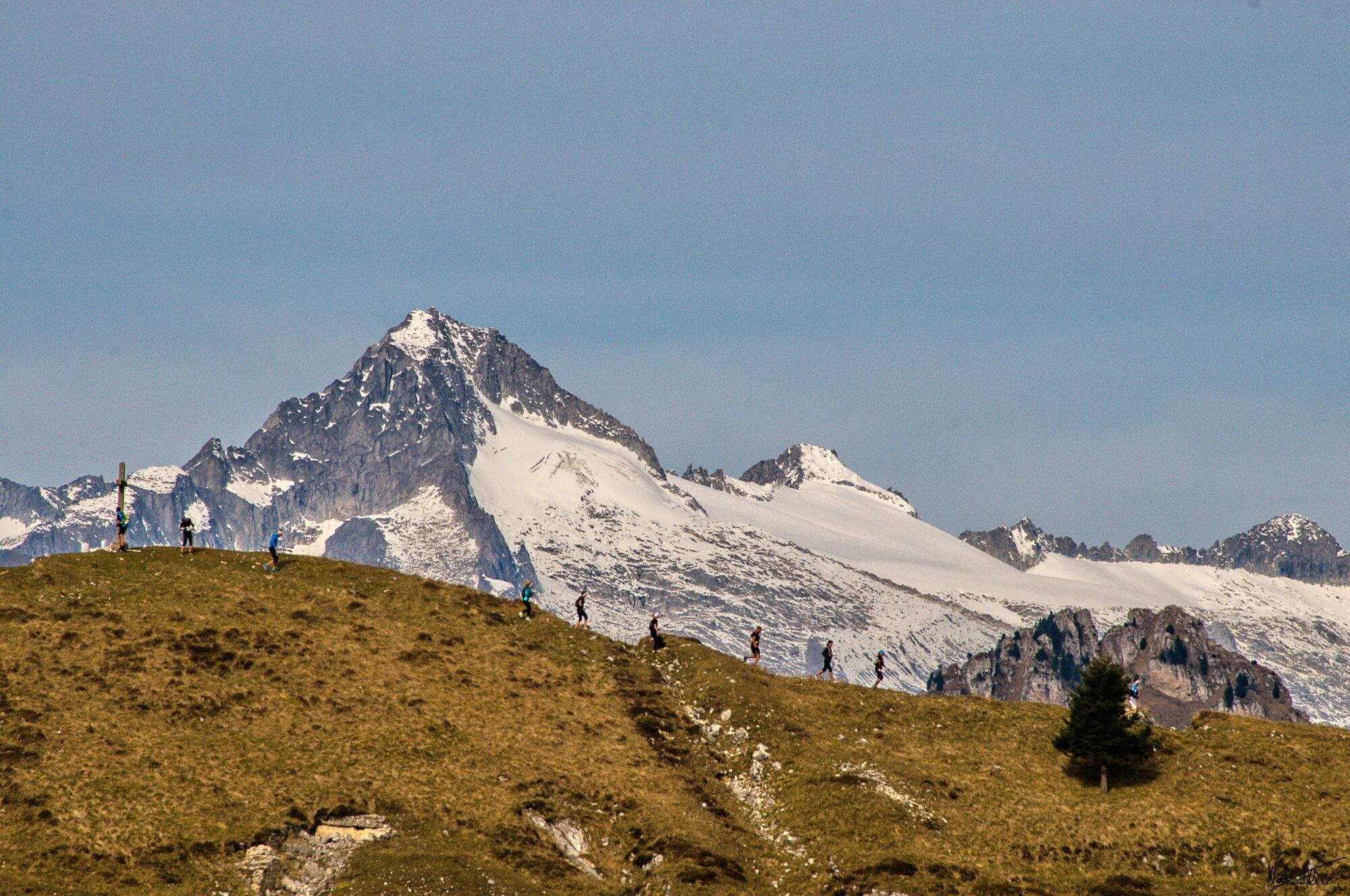
The path climbs up the side of Monte Cocca towards Bocca Saval. That's where the senter dele greste starts, a breathtaking route running on the ridge linking Cima Parì, Cima Sclapa and Cima d'Oro, suspended between the steep slopes of the mountain. The descent towards Mezzolago runs across the fields of Dromaè and the trenches dug by the Austro-Hungarian soldiers during the Great War.
- Directions
-
Walk along the lakeside path from Mezzolago to Pieve di Ledro. Turn into the SAT 454 path towards Malga Saval, walk past Sella di Monte Cocca and reach the alpine meadows of Saval. Proceed towards Monte Carèt and walk downhill to Bocca Saval. Here begins the ascent towards Cima Parì. From the mountain top turn into the senter de le greste (i.e. tour of the crests). Walk along the ridge and reach Cima Sclapa. From there walk downhill to Bocca Dromaè and then uphill towards Cima d'Oro. Follow the trenches towards Coste di Salò and turn into the botanical path leading to Fior di Bella and Mezzolago.
- Highest point
- 1,982 m
- Endpoint
-
Cima Parì
- Height profile
-
 © outdooractive.com
 - Safety instructions
-
The path linking Cima Parì to Bocca Dromaè is technically demanding and requires particular caution.
Please note that the practicability of the itineraries in a mountain environment is strictly linked to the contingent conditions and is therefore influenced by natural phenomena, environmental changes and weather conditions. For this reason, the information contained in this page may have changed. Before leaving for a tour, make sure the path you will approach is still accessible by contacting the owner of the mountain hut, the alpine guides or the visitor centres of the nature parks, the info offices of the local tourist board.
- Tips
-
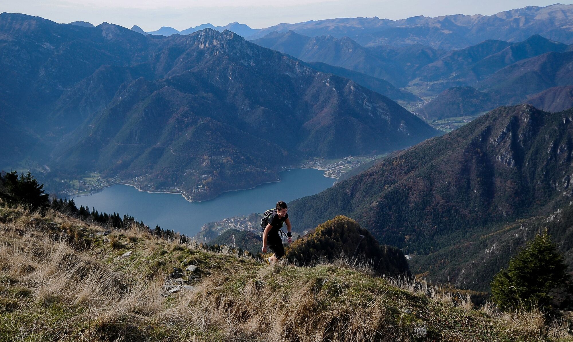
The view above the lakes from the mountain ridge is gorgeous
- Additional information
-
The "Ledro Sky - Senter de le Greste" is organised by the Società Sportiva Dilettantistica Tremalzo and will be held on 11 June 2023. For further information Ledro Sky - Garda Trentino.
For more information on routes, services (guides, mountain huts, shops etc.) and hiking friendly accommodation: Garda Trentino - +39 0464 554444
- Directions
- Public transportation
- Parking
-
Car park in Via San Michele, past the church in Mezzolago.
-

-
AuthorThe tour Ledro Sky - Senter de le greste is used by outdooractive.com provided.