- Brief description
-
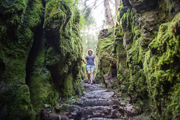
An unusual quantity of white fir that, thanks to the microclimate present in that zone are majestic. This is the surrounding of the path I giganti del Bosco - The Wood Giants.
- Difficulty
-
medium
- Rating
-
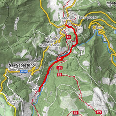
- Route
-
Paludi0.5 kmMonterovere0.8 km
- Best season
-
JanFebMarAprMayJunJulAugSepOctNovDec
- Description
-
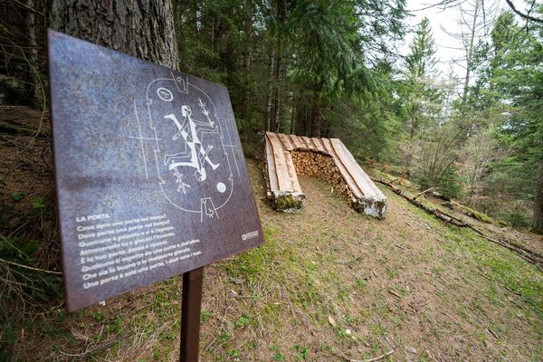
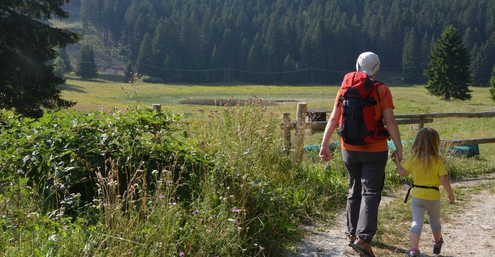
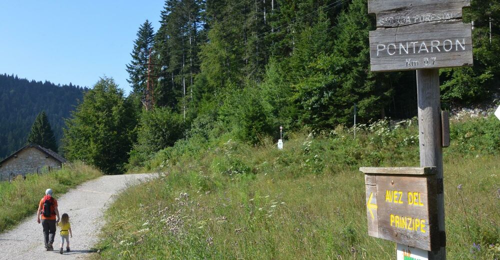
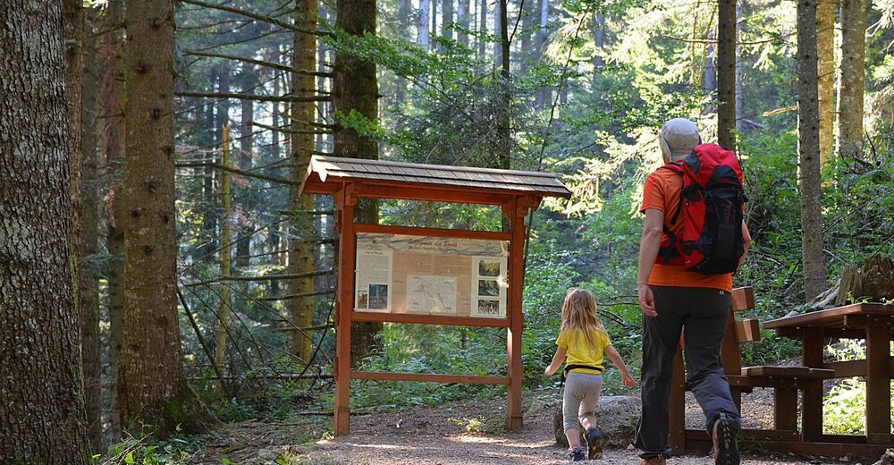
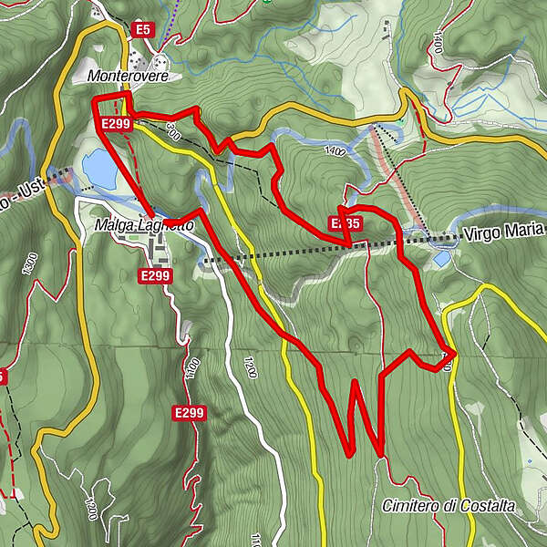
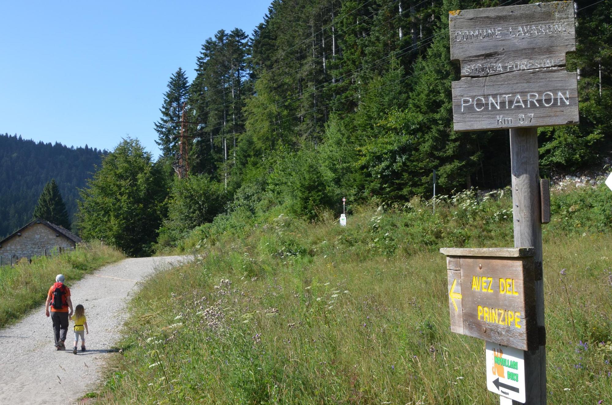
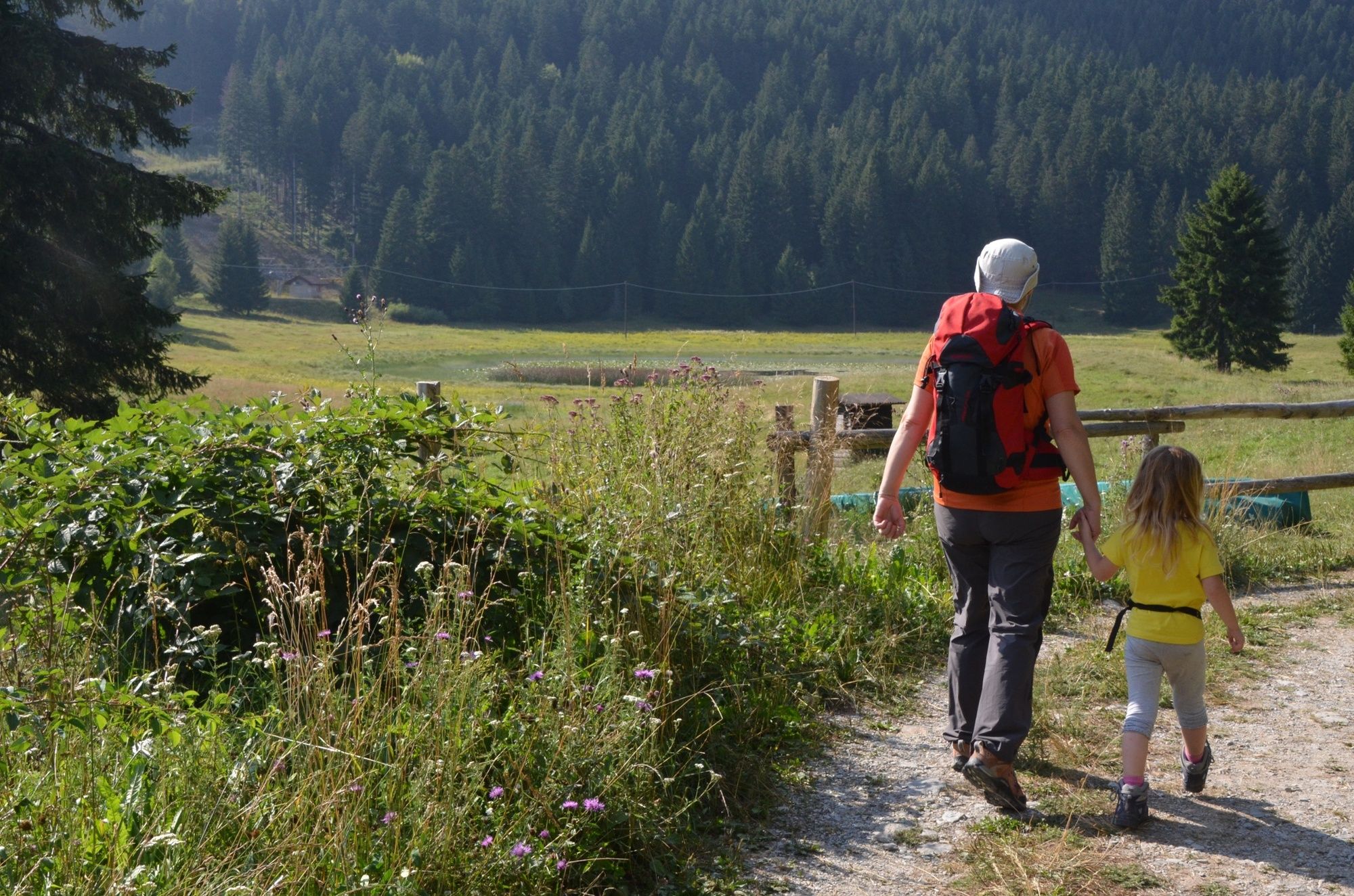
There are three different path choices (short, medium and long distance, see description), it starts from the point where there was Avez del Prinzep (Avez means white fir), considered the tallest white fir in Europe (54 m), 250 years old, unluckly it fell on 12th November 2017 because of a heavy storm. The excursion brings you to the forest characterized by the biotope of Malga Laghetto and by testimonies of the First World War, as the military cemetery of Costalta. The short and medium paths are suitable for families with children aged over 6 years old.
- Directions
-
The starting point is in Malga Laghetto, follow the path that, going past the old alpine cottage and the biotope (on the left), ventures into the woods until you get to the place where there was Avez del Prinzep. From there (explicative panel) follow the signs that, depending on the colour, will bring you to the short (yellow), medium (green) and long path (red).
Short path
Colour: yellow
Distance: 1,4 km
Travel time: 0.45 h
Difficulty: easy
Medium path
Colour: green
Distance: 6 km
Travel time: 3.00 h
Difficulty: medium
Long path
Colour: red
Distance: 8 km
Travel time: 3.30/4.00 h
Difficulty: medium/hard
The path goes uphill on the west part of Cucco mountain and, in the highest part brings you to the ex military cemetery of Costalta (war 1914-1918). From there follow the path downhill that brings you back on Malga Laghetto.
- Highest point
- 1,523 m
- Height profile
-
 © outdooractive.com
 - Safety instructions
-
Please note that the practicability of the itineraries in a mountain environment is strictly linked to the contingent conditions and is therefore influenced by natural phenomena, environmental changes and weather conditions. For this reason, the information contained in this page may have changed. Before leaving for a tour, make sure the path you will approach is still accessible by contacting the owner of the mountain hut, the alpine guides or the visitor centres of the nature parks, the info offices of the local tourist board.
- Tips
-
Be careful when crossing the roads
- Directions
-
Malga Laghetto is located 4 km away from Lavarone Cappella. Follow the signs to Luserna –Asiago and once you drive past Cost, after one kilometre turn right.
- Public transportation
-
You can get to Malga Laghetto by bus. Info APT +39 464 724144 - +39 464 724100
- Parking
-
Near the starting point.

-

-
AuthorThe tour I Giganti del Bosco – The Woods Giants is used by outdooractive.com provided.