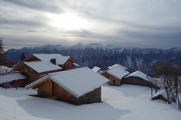


- Brief description
-
Nice excursion in the Lagorai, safe ,except for the last part in proximity of the top, in case of heavy snowfalls.
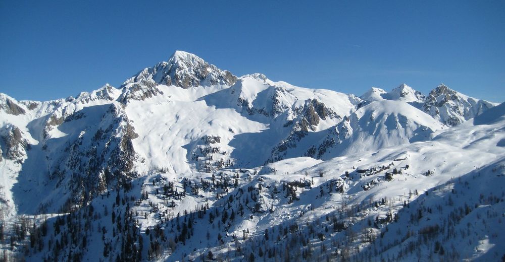
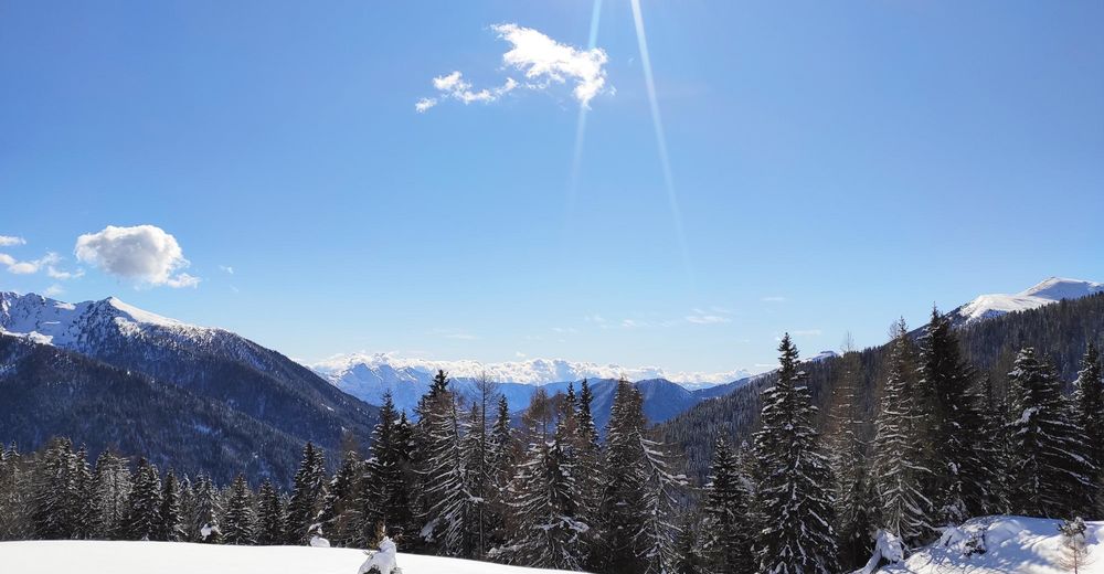
The panorama is wonderful and from the Cinque Croci pass it is possible to enjoy a breathtaking view on the Cima d’Asta massif.
- Difficulty
-
easy
- Rating
-
- Starting point
-
Conseria parking lot
- Route
-
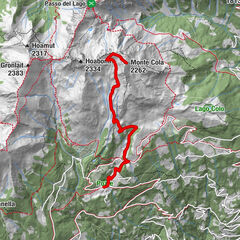
Rifugio Malga Consèria3.4 kmCima Socede (2,173 m)5.2 kmCocuzzolo dei Morti6.0 kmRifugio Malga Consèria6.4 km
- Best season
-
AugSepOctNovDecJanFebMarAprMayJunJul
- Description
-
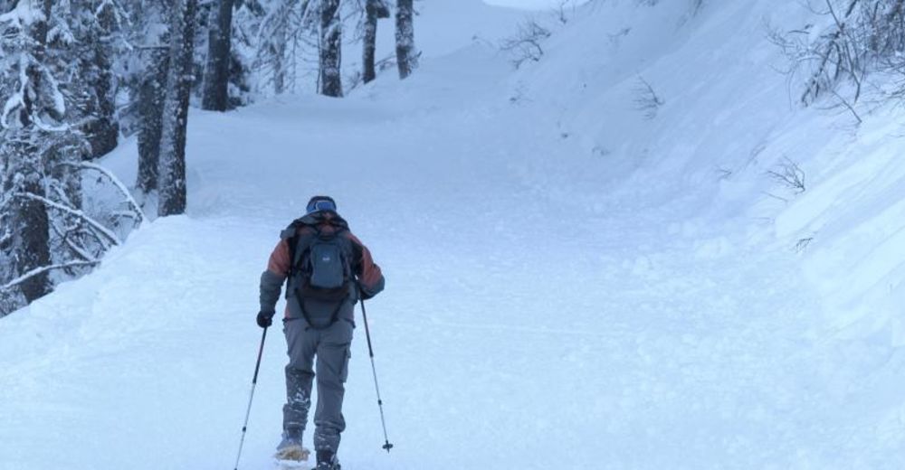
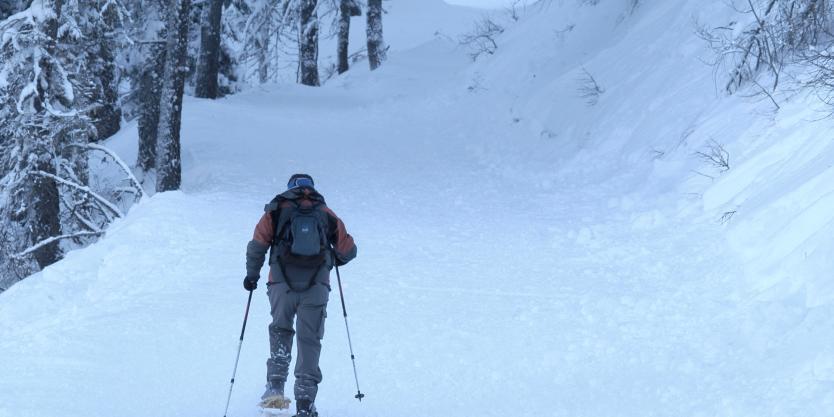
During the winter season, the hike to the Cinque Croci pass with mountain skis or snowshoes can be a thrilling experience.
After having parked at the Conseria bridge, in Val Campelle, it is possible to immediately wear the snowshoes and start walking.
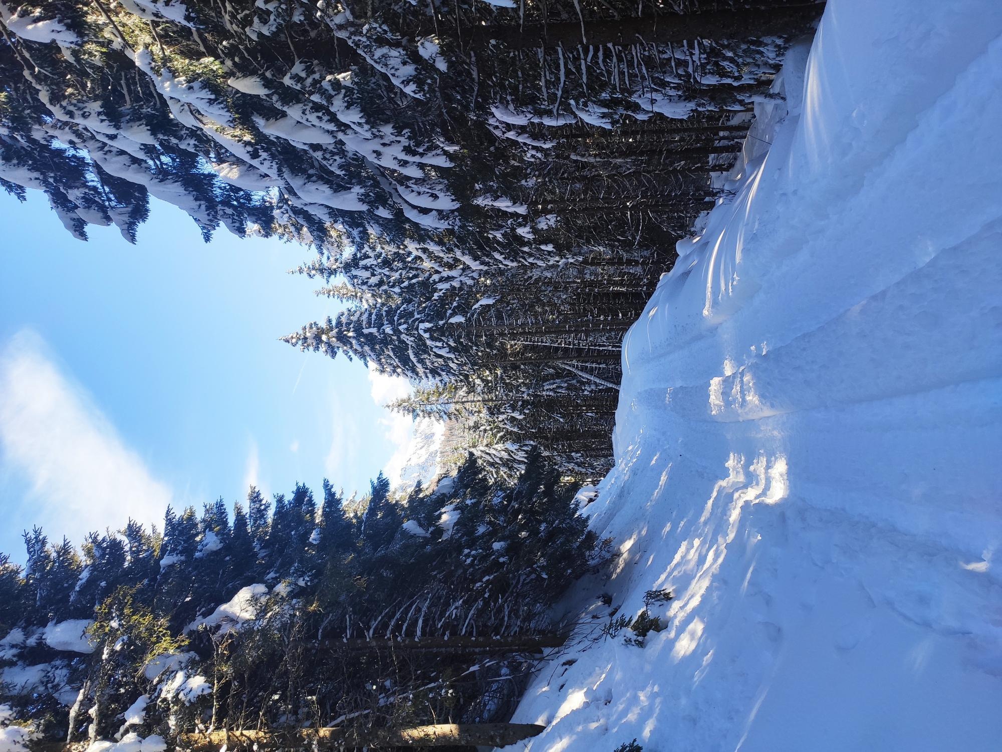
The road, uphill but not significantly hard, venture into a fairy fir woods and then open on the Lagorai and on the Cima d’Asta massif, with a 360° view from the top.
- Directions
-
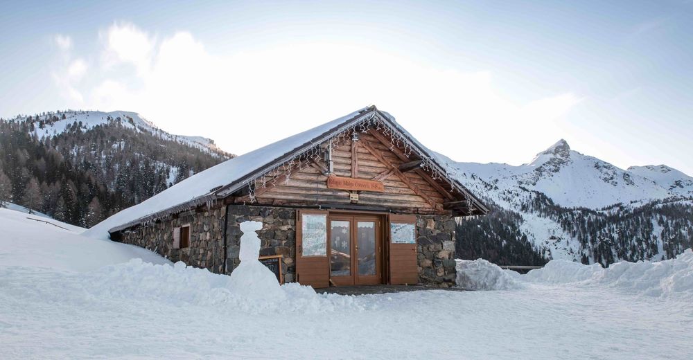
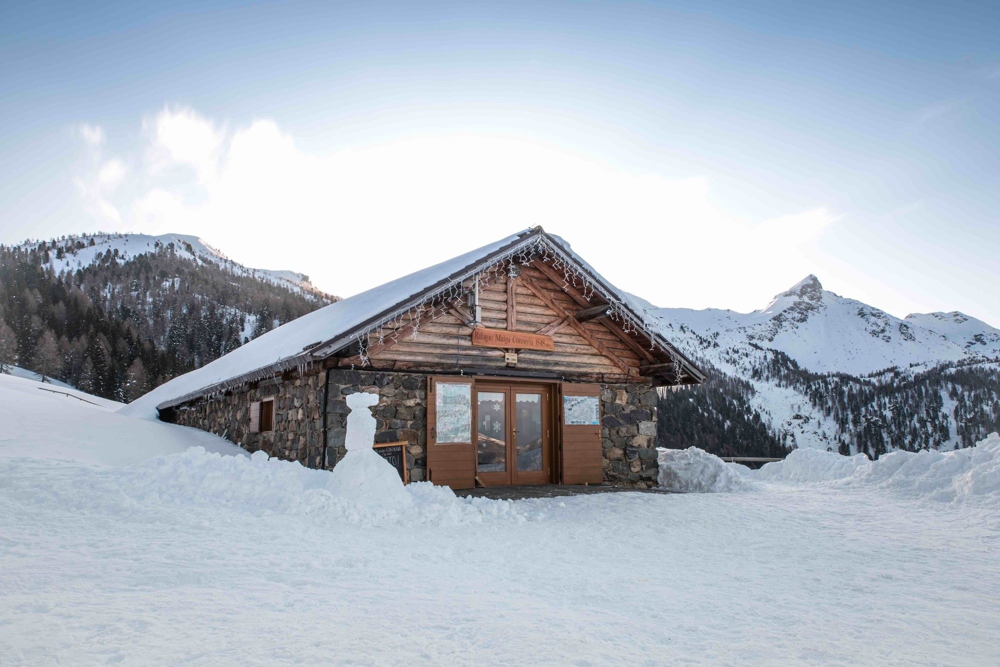
From the parking lot by the Consèria bridge (1465 m), follow the road to the Agritur Malga Casarina for about 100 m and then take a forest road on the left, until a hairpin turn. Here leave the forest road and reach a wide clearing (l’Aia del Buso) on the left side of the path, then keep walking until the hillside right under Malga Consèria. Then start walking to the alpine hut (1822 m), always open even during the winter.
From the hut, start walking uphill north-east to the Cinque Croci pass (2022 m), from where the view is just breathtaking. And now, hike north-west, on the Cima Socede slopes – paying attention to a few too steep stretches.
The return can be done on the same route as the climb or on the forest road that leads first to Malga Valsorda and then to the Consèria bridge.
- Highest point
- 2,147 m
- Endpoint
-
Conseria parking lot
- Height profile
-
 © outdooractive.com
 - Equipment
-
For all snowshoe hikes, is recommended to wear adequate and waterproof clothing, ready for sudden temperature drops (e.g. Gore-Tex). Gloves, cap, sunglasses and sunscreen should always be carried.
Not fitting footwear (too loose or not waterproof) can cause a beginning of frostbite.
It is mandatory to carry the avalanche kit, made of ARTVA (Avalanche swamped searching engine) – shovel – probe. Walking sticks are extremely useful and recommended.
- Safety instructions
-
The stability of the snow cover is subjected to sudden and unpredictable changes.
Always check the avalanche bulletin (www.meteotrentino.it) and ask about the weather conditions in the local Alpine Guides offices.
The gpx tracks are just an approximation of the suggested route and can not be followed without a preliminary evaluation of the current situation of the snow and the ground.
Please note that the practicability of the itineraries in a mountain environment is strictly linked to the contingent conditions and is therefore influenced by natural phenomena, environmental changes and weather conditions. For this reason, the information contained in this page may have changed. Before leaving for a tour, make sure the path you will approach is still accessible by contacting the owner of the mountain hut, the alpine guides or the visitor centres of the nature parks, the info offices of the local tourist board.
- Additional information
-
APT Valsugana - tel. +39 0461 727700 - info@visitvalsugana.it
- Directions
-
From the SS47 of Valsugana (main road) exit at Castel Ivano (Strigno) - Valle del Tesino.
Reach the village of Strigno and turn towards Spera. Pass the village following the signs for Val Campelle.
Cross the whole valley on the main road until you reach Ponte Conseria, where you find the parking place.
- Parking
-
Public parking near the Conseria Bridge.


-
-
AuthorThe tour Snowshoeing - Passo 5 Croci and Cima Socede is used by outdooractive.com provided.