
- Brief description
-
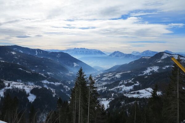
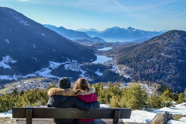
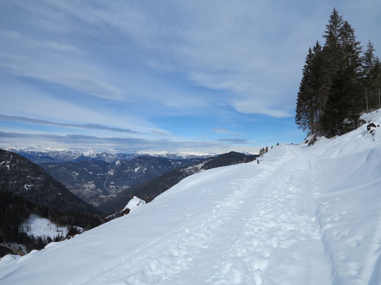
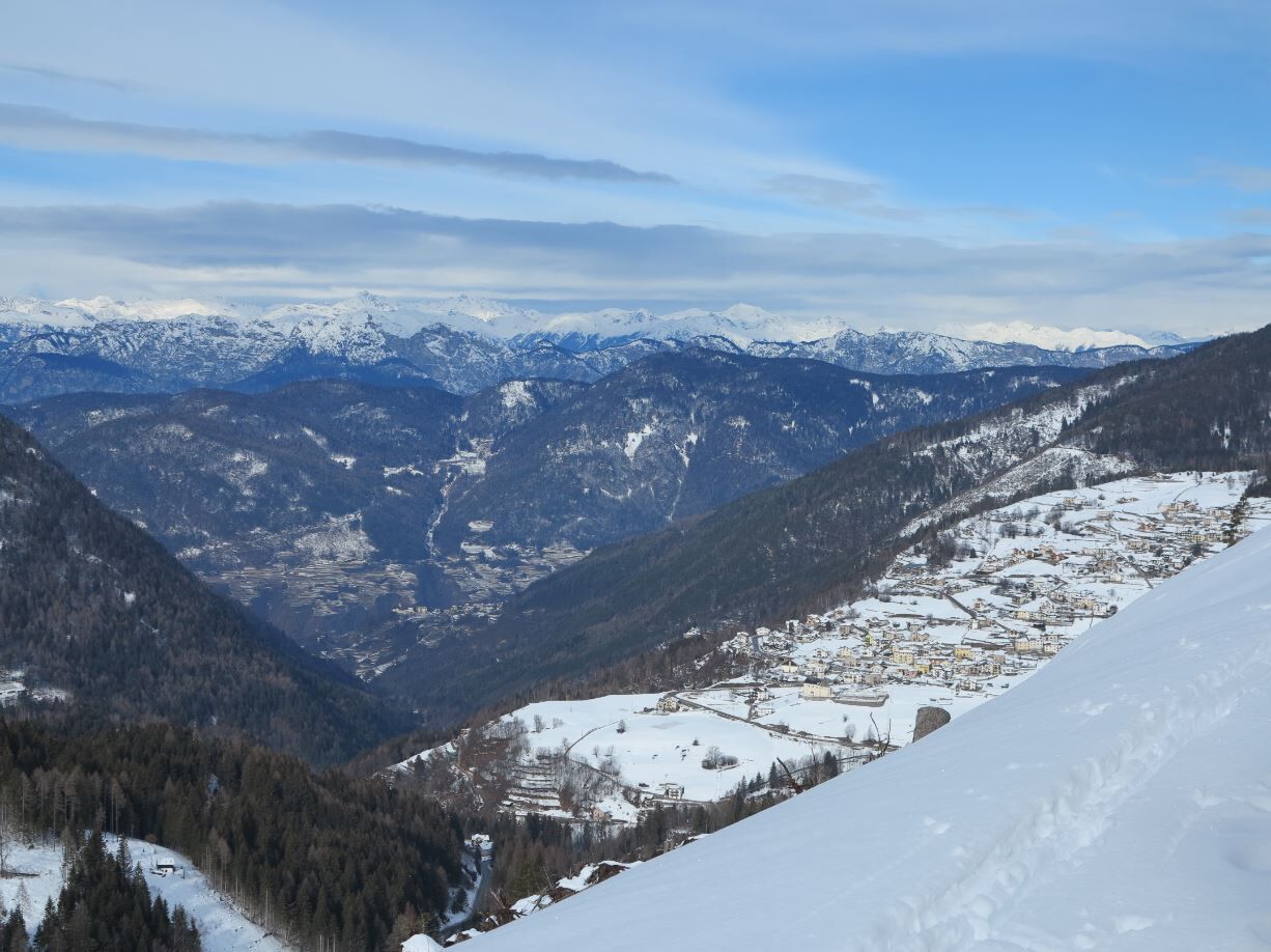
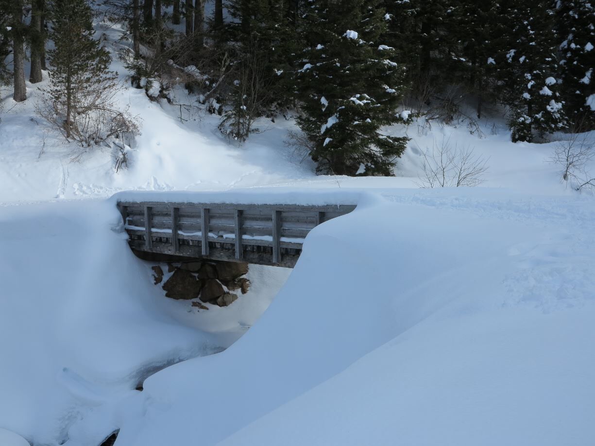
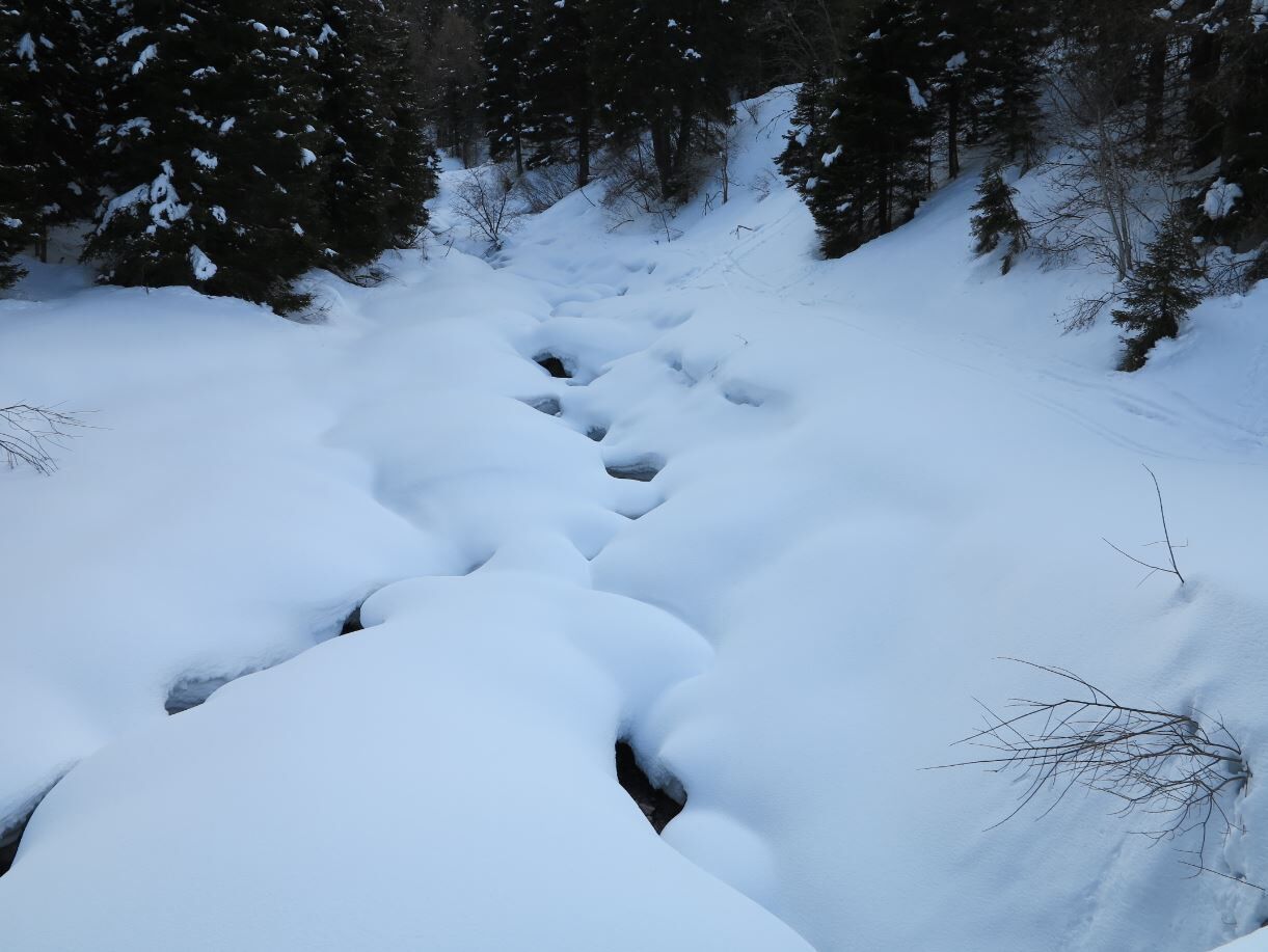
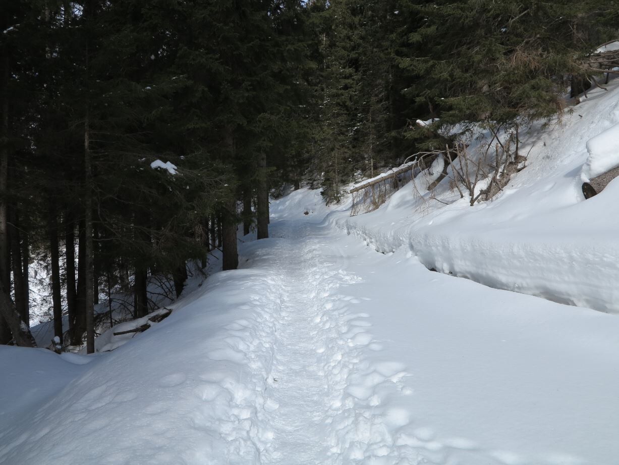
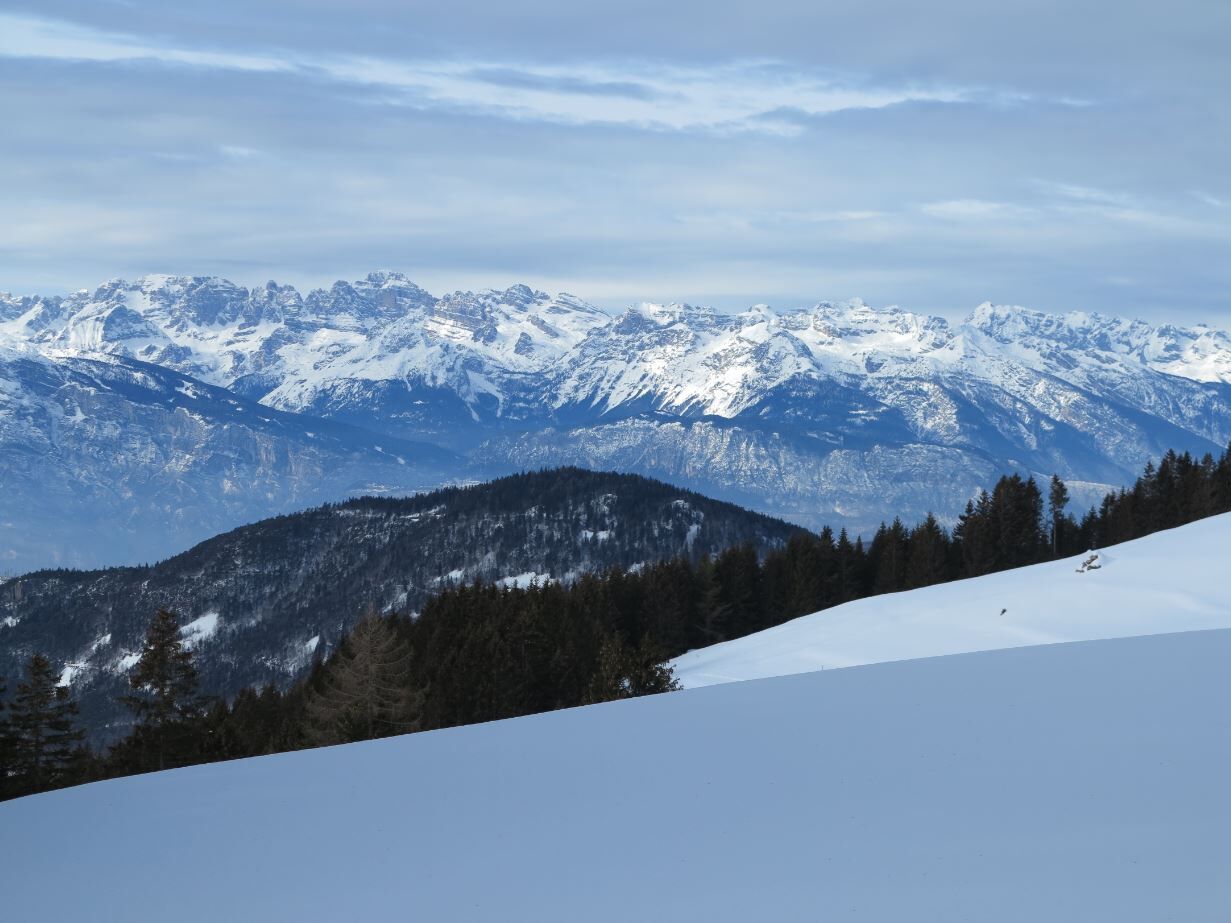
A nice stroll in the spruce woods and clearings with panoramic view on the Brenta group
- Difficulty
-
easy
- Rating
-
- Starting point
-
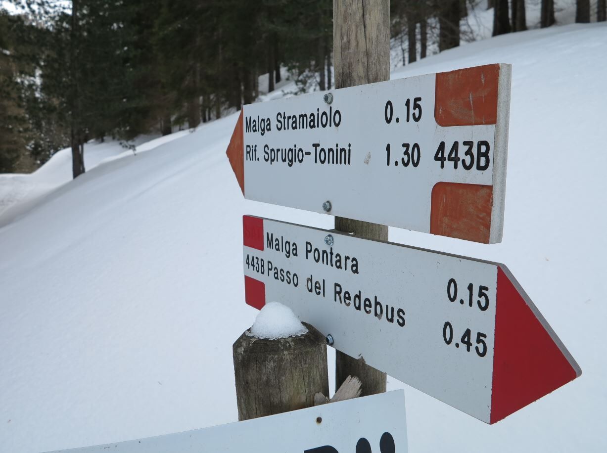
Right bend for "Malga Stramaiolo" on the provincial road to the Redebus pass, above the village of "Pitoi"
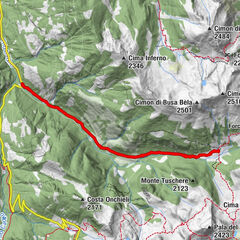
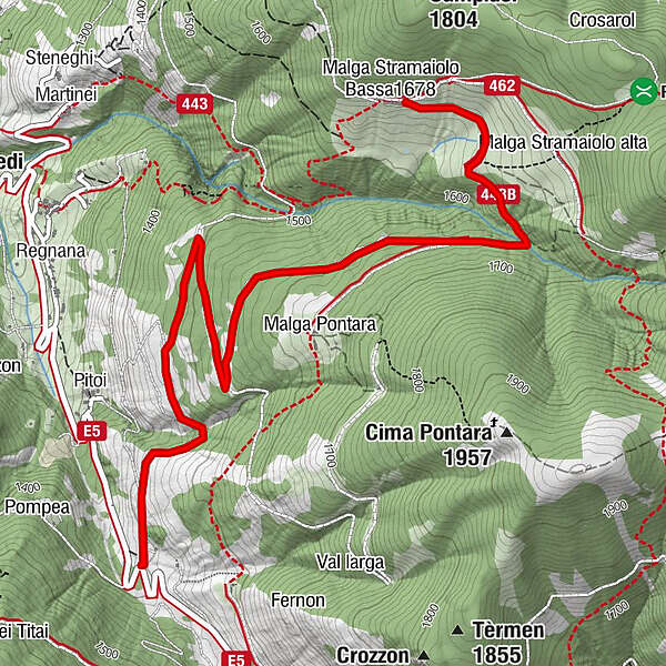
- Route
-
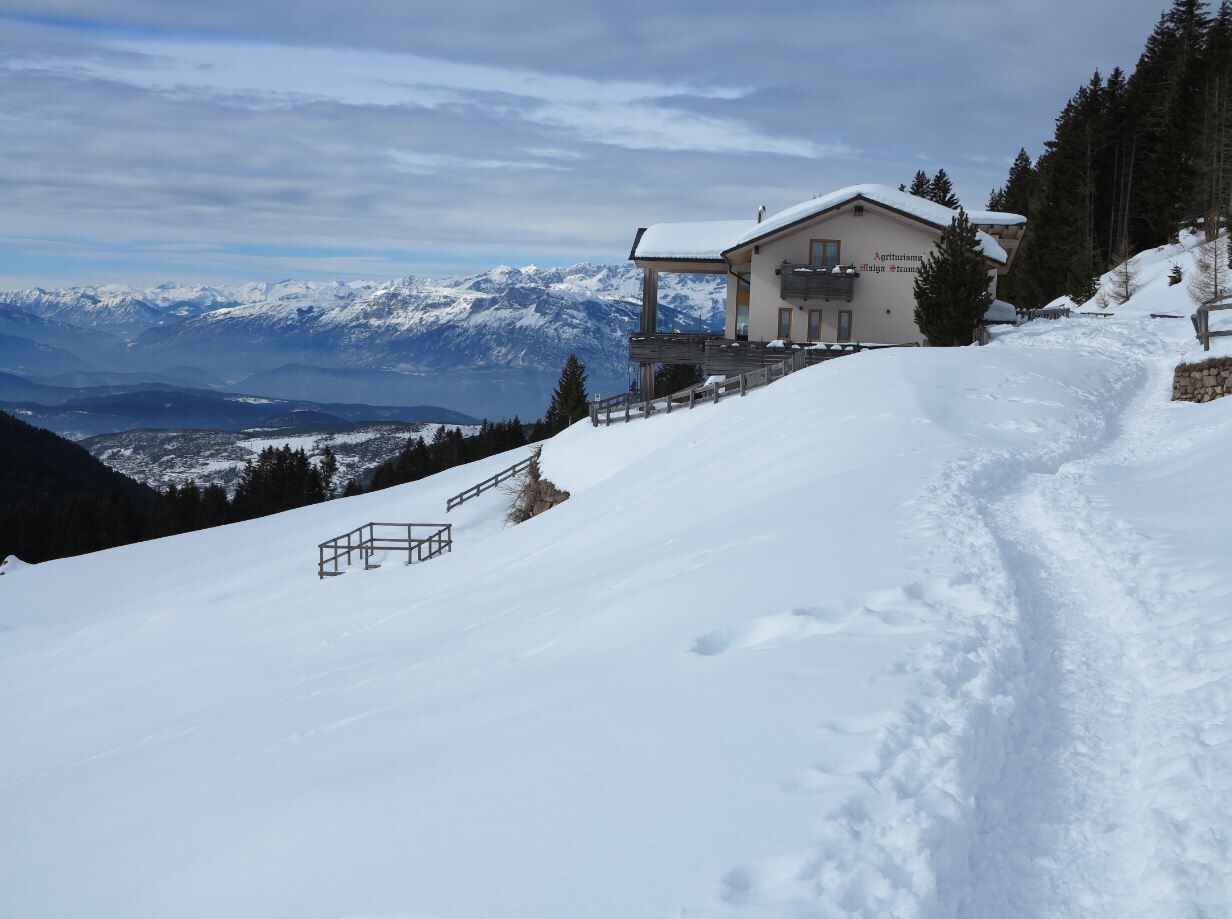
Agritur Malga Stramaiolo4.6 km
- Best season
-
AugSepOctNovDecJanFebMarAprMayJunJul
- Description
-
An itinerary among the local must-sees, to give children and families an afternoon of fun in the open air.
Practicable with snowshoes or crampons. Near the Malga Stramaiolo hut, there are wide meadows suitable for 'sledging', so it is compulsory to bring your own bobsleigh or sledge.
- Directions
-
After taking the road with Stramaiolo hut indications, follow it for about 4,5Km until you reach the hut. The way back occurs on the same road, back to the starting point.
- Highest point
- 1,675 m
- Endpoint
-
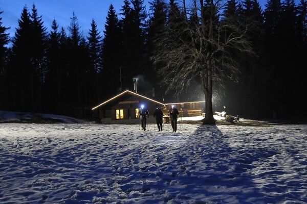
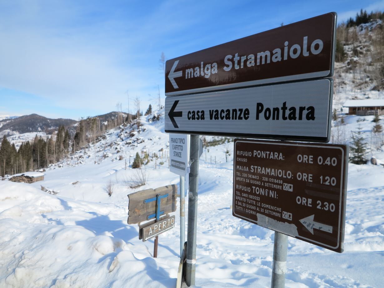
Mountain cottage Stramaiolo
- Height profile
-
 © outdooractive.com
 - Equipment
-
When embarking on snowshoeing or snow walking take with you:
Waterproof boots that are the right size (if they are too tight they can give rise to principles of frostbite in the feet);
Snowshoes and trekking poles;
Comfortable, warm, waterproof Gore-Tex-type winter clothing;
Beanie, gloves, sunglasses and protective sunscreen;
Backpack with snacks and hot drinks;
MANDATORY avalanche self-rescue kit (consisting of Artva, shovel and probe) 'where avalanche risks exist' (Art.26 Legislative Decree February 28, 2021 No.40). Before embarking on any hike, make sure you know how to use it. The kit can be rented. - Safety instructions
-
Degree of difficulty according to the common symbology: path E (on mule tracks and paths)
External risks along the tour: no critical point; some orientation problems may arise on this route in the upper part in fog or low clouds.
Snowpack stability is subject to sudden and unpredictable changes. Before setting out:
Always consult the avalanche bulletin (www.meteotrentino.it) and inquire about the route and its conditions by calling your local mountain guides or at the Tourist Office; Check the opening of huts and refuges; Study and prepare your itinerary well, choosing a route suitable for your physical condition (if you are not sure, do not hesitate to rely on a professional); Leave information about your route and approximate time of return.Do not leave trash at high altitudes and, if possible, avoid leaving it at the shelters or huts you will visit; If you spot wild animals along the route, do not approach them, do not shout, and keep your dog on a leash.
In case of fatigue or problems, do not hesitate to retrace your steps.
In case of an accident, call 112. - Tips
-
Points of interest include the important views of the Brenta group and Mount Rujoch, and the finishing point, the Stramaiolo hut.
ATTENTION: Before starting the route, check the snow conditions with our offices. Tel. +39 0461 557028 / info@visitpinecembra.it
- Additional information
-
Trento Tourist Office - Tel. +39 0461 216000 - info@trento.info - www.trento.info
- Directions
-
From the A22 Brenner motorway (from the south exit Trento sud - from the north exit Trento nord) and from the Brenner state road 12, continue on the S.S. 47 of Valsugana towards Pergine Valsugana / Padua until the junction for the Piné Plateau. On the S.P. 83 di Piné, follow indications for the Redebus pass and after a few bends, beyond the village of Pitoi, park in the areas along the road.
- Public transportation
-
From the Trento bus station, take line B403 towards Montesover (Trento - Pergine - Baselga di Pinè - Montesover) or line B402 (Trento - Nogarè - Baselga di Pinè -Montesover) and get off at Centrale di Bedollo. There is no public transport that connects the village of Bedollo with the village of Pitoi, therefore the starting point has to reached independently.
- Parking
-
The car park is located at the roadside after the village of Pitoi, before and after the bend in the provincial road.


- Author
-
The tour Snowshoeing at Malga Stramaiolo is used by outdooractive.com provided.