- Brief description
-
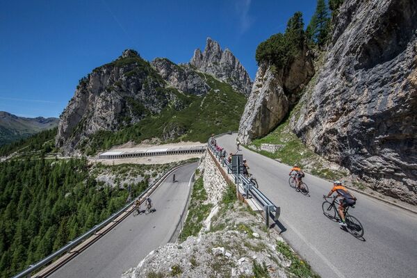
Passo Pordoi has made the history of cycling because it has been the stage finish of the Giro d’Italia countless times but above all, because in several editions of the Giro, it was the highest pass climbed by cyclists. That is enough to give an idea of its charm. If you add the majestic beauty of the Dolomite landscape, it becomes a must for every bicycle lover.
- Difficulty
-
medium
- Rating
-
- Starting point
-
Canazei
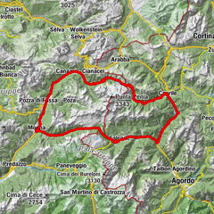
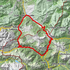
- Route
-
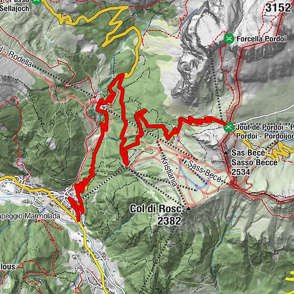
Kanzenei0.4 kmPecol (1,926 m)7.0 km
- Best season
-
JanFebMarAprMayJunJulAugSepOctNovDec
- Directions
-
Gilberto Simoni was especially fond of this climb. It was precisely on the Sass Pordoi, at the Santa Maria mountain hut, that the cyclist announced in the winter of 2003 his second participation in the Giro d’Italia, which he also won that year. And not surprisingly, the climb is dedicated to the champion from Palù di Giovo.
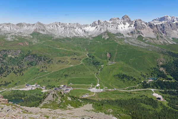
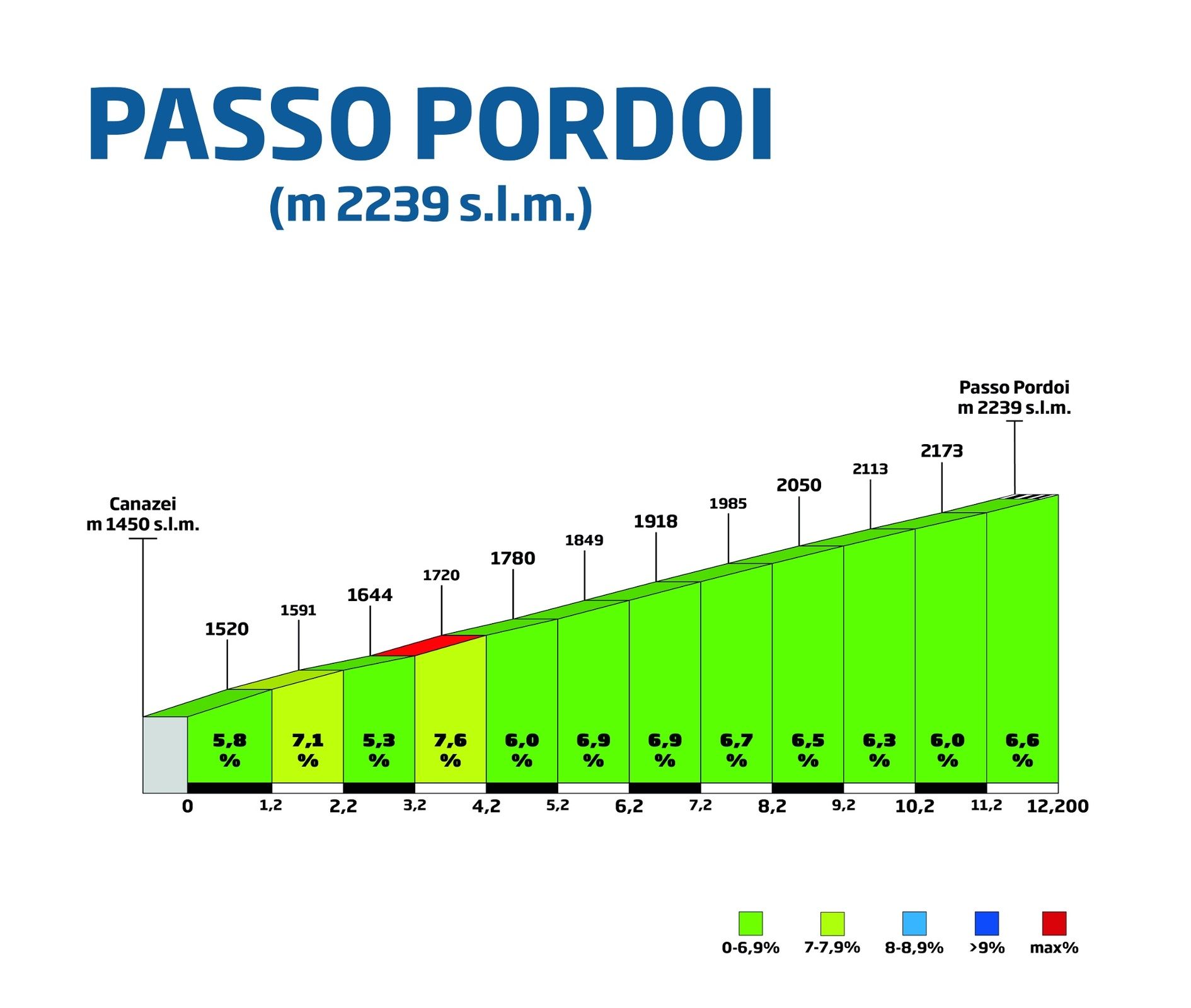
The itinerary starts in Canazei in Val di Fassa, home to a population that has come from far away and speaks Ladin.
The first few kilometres are not too challenging and allow you to gaze into a landscape that tells the stories of great mountain climbers.
After two kilometres you come to face the most challenging stretch, with a slope that borders on 8%. Then the climb is again smooth up to the top where a monument commemorates the great Fausto Coppi. All around, among the many mountains you can see the outline of the Tofane, and the groups of Nuvolau and Croda da Lago-Lastoi de Formin.
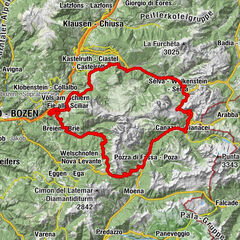
Pordoi is a classic destination for cyclists. It is part of the Gran Fondo "Marathon of the Dolomites", an event that attracts thousands of passionate bikers, and it is also included in the Sellaronda, the ski route that highlights the extraordinary beauty of the Sella Massif.
- Highest point
- 2,239 m
- Endpoint
-
Passo Pordoi
- Height profile
-
 © outdooractive.com
 - Safety instructions
-
Please note that the practicability of the itineraries in a mountain environment is strictly linked to the contingent conditions and is therefore influenced by natural phenomena, environmental changes and weather conditions. For this reason, the information contained in this page may have changed. Before leaving for a tour, make sure the path you will approach is still accessible by contacting the owner of the mountain hut, the alpine guides or the visitor centres of the nature parks, the info offices of the local tourist board.
- Author
-
The tour Passo Pordoi is used by outdooractive.com provided.


-
Dolomiten
81
-
Sellaronda
66
-
Canazei
29