
- Brief description
-
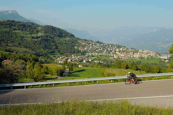
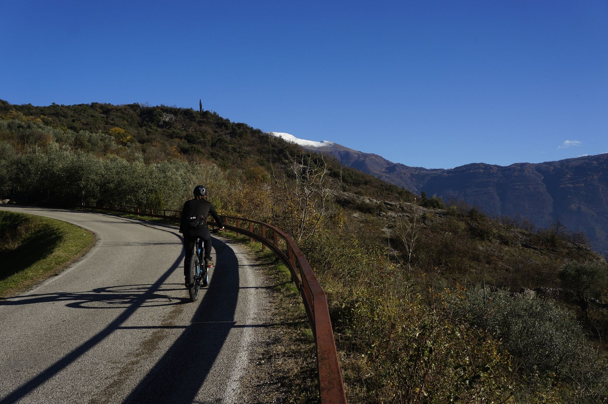
Twenty small bends take us to the San Giovanni al Monte area, at an altitude of 1050 metres above sea level. Its exceptionally taxing climbs are rewarded by astounding views.
- Difficulty
-
medium
- Rating
-
- Starting point
-
Riva del Garda
- Route
-
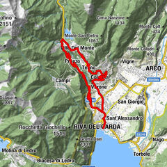
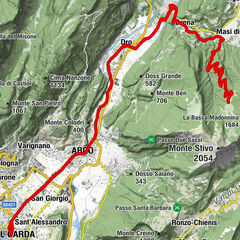
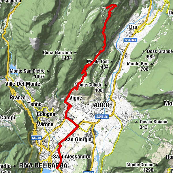
Riva del GardaTop di gamma2.1 kmChiesa di San Tomaso2.7 kmSan Tomaso2.7 kmTrattoria Belvedere5.2 kmVarignano5.6 kmArco6.2 kmVigne6.3 kmPadaro (351 m)7.8 kmMandrea (620 m)11.2 kmEl Sas de la Vecia12.3 kmDoss del Clef (769 m)12.5 kmSan Giovanni al Monte16.5 kmDoss del Clef (769 m)20.7 kmEl Sas de la Vecia20.9 kmMandrea (620 m)22.0 kmPadaro (351 m)25.3 kmArco25.8 kmVigne26.8 kmVarignano27.5 kmTrattoria Belvedere27.8 kmSan Tomaso30.1 kmChiesa di San Tomaso30.5 kmTop di gamma31.1 kmRiva del Garda33.2 km
- Best season
-
JanFebMarAprMayJunJulAugSepOctNovDec
- Description
-
This route proposes the climb to San Giovanni al Monte, splendid mountain location reachable from Arco. The road, along which panoramic sections alternate with sections nestled in the wood, presents tough gradients, especially at the beginning.
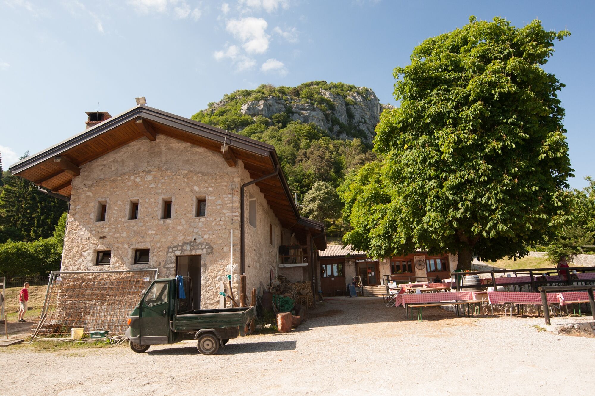
It’s a challenging climb and its numerous bends offer the only relief from the effort needed to tackle it. Once we’ve reached San Giovanni, the surfaced road ends and for the racing bike, the climb ends here. But before returning, we can recharge our batteries, eat, and rehydrate at the malga.
- Directions
-
Start from Riva del Garda, take direction north to Arco. After San Tomaso area, at the roundabout turn left direction Ceole and at next roundabout near the Sanctuary of the Holy Mary (Santuario Madonna delle Grazie) turn on your right, direction Varignano.
Arrived in proximity of a big wooden cross turn left and pass through the town. Go beyond a small arcade and turn left again. Here starts the most demanding part of this panoramic uphill road, passing through Padaro and leading to Mandrea.
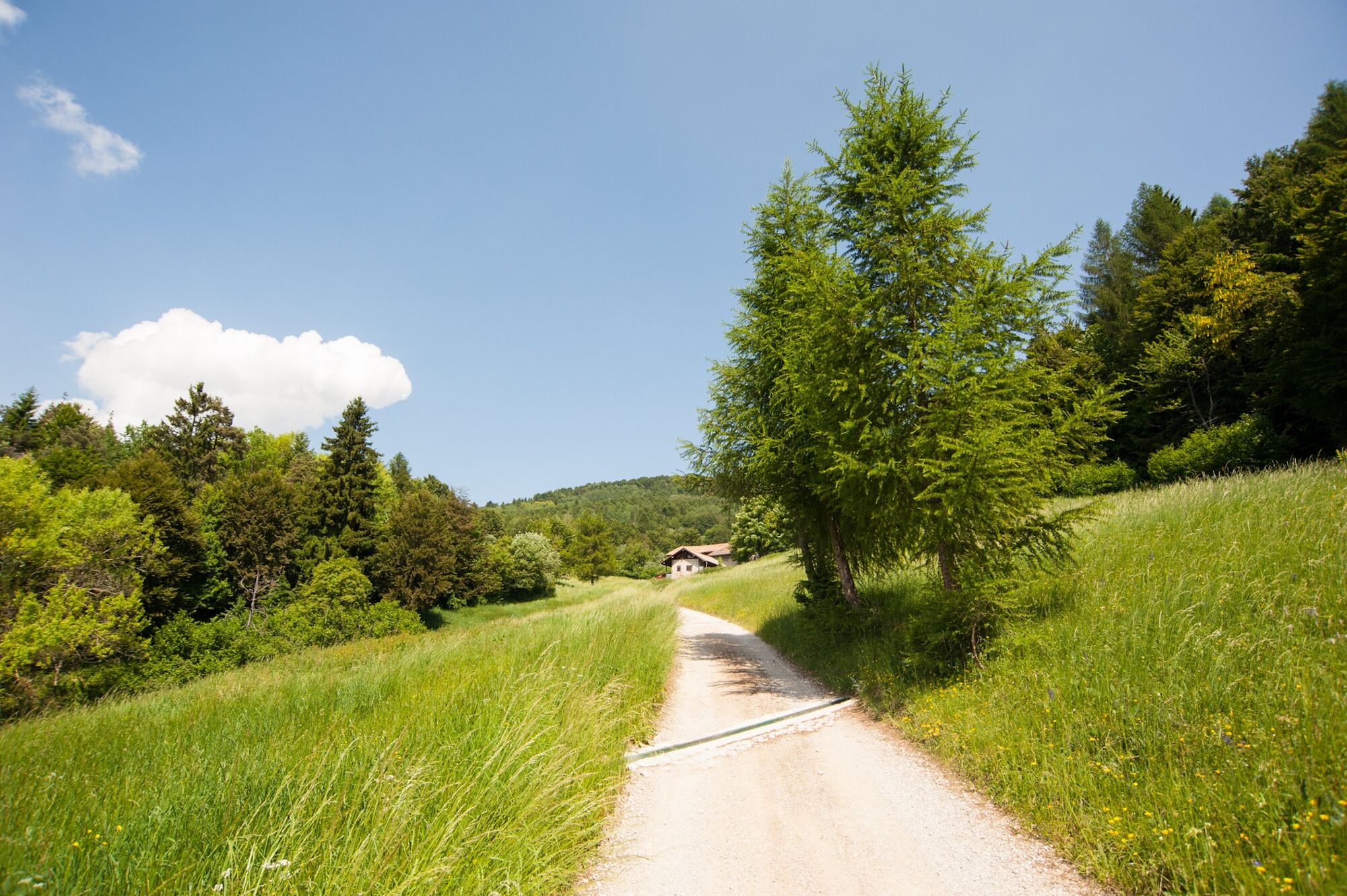
After a slightly downhill stretch the road goes back up again alternating the view on the river Sarca, on the Marocche di Dro, Malga Campo, Mount Stivo, Mount Bondone with its “Cornetto” (Small horn). By keeping on cycling through the woods you will arrive at the small church of San Giovanni al Monte, and its nearby namesake alpine hut. Travelling the same road through again we get back to starting point Riva del Garda.
Pay attention not to be distracted by the marvellous scenario while cycling downhill.
- Highest point
- 1,067 m
- Endpoint
-
Riva del Garda
- Height profile
-
 © outdooractive.com
 - Equipment
-
Riding your bike requires specific clothing and equipment, even for relatively short and easy trips. It is always better to be prepared… e.g. for bad weather or a drop your energy levels. The unexpected things also make up a part of the fun!
Do not compare a road bike with a mountain bike. They are very different, especially in technical terms, and facing a hill with a road bike could be much more difficult than facing the same hill with a MTB. Therefore, remember to throughly evaluate the type of route you plan to do and the locations you plan to cross. Do not forget to consider the current season. Has it been raining? Attention: the paint of the crosswalk could be very slick.
What do I need to bring on my bike tour?
Bike helmet Bike gloves Bike glasses Waterproof/Windproof jacket Headlights and rearlights Reflecting suspenders Plenty of snacks (for example, dried fruit or energy bars) Water Bottle Bike repair kit (tire levers, mini bike pump, bike tube)It is always advised to let someone know where you plan to go and how long you expect to be.
Emergency telephone number 112.
- Safety instructions
-
Give your bike a regular checkup, especially if you've had it for years.
Be seen: you must wear a high vis jacket (or sash) in tunnels and on country roads after sunset.
Always wear your helmet.
Make sure your front and rear lights are working.
Put out your arm to give advance warning of your intention to change position and before you do anything, check there are no vehicles coming up behind you.
Don't use headphones or your mobile phone handsfree kit: you need all your concentration on the road!
Obey the road signs: stop at traffic lights and don't ride on the wrong side of the road.
If you are cycling in a group, always go in single file.
You've got a bell: use it to let pedestrians know you're there. Don't ride on footpaths. If you have to then get off and push your bike.
If there are cycle paths use them. It's your safety that's at stake and the rules of the road say you must. - Tips
-
The climb is long and hard, but full of bends: make the most of these to catch your breath between one steep slope and another.
- Additional information
- Directions
- Public transportation
-
The towns in Garda Trentino - Riva del Garda, Torbole sul Garda and Arco – are connected by several urban and intercity bus lines which will take you to the starting point or in the immediate surroundings.
For up-to-the-minute information on timetables and routes
You can also get to Riva del Garda and Torbole sul Garda by the public ferry service.
- Parking
-
Free parking in Riva del Garda at the old hospital (via Rosmini) and the old cemetery (Viale D. Chiesa).
Pay parking at the Public Gardens Porta Orientale, Roman Baths, Viale Lutti (Ex Agraria), Monte Oro, shopping center Blue Garden.
-
-
AuthorThe tour San Giovanni al Monte is used by outdooractive.com provided.


General info
-
Garda Trentino
51
-
Arco di Trento
18