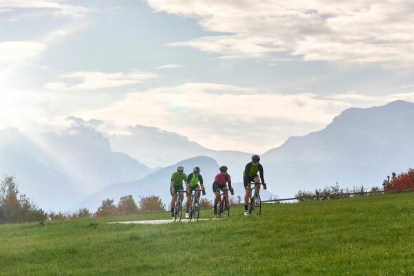
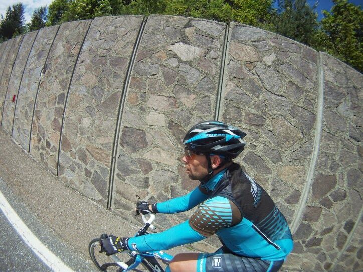
© APT Val di Fiemme - Staff Outdoor Val di Fiemme

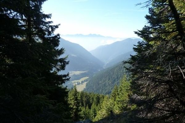
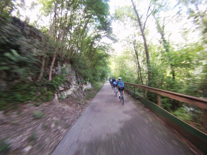
© APT Val di Fiemme - Staff Outdoor Val di Fiemme

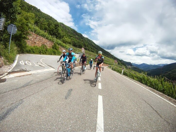
© APT Val di Fiemme - Staff Outdoor Val di Fiemme

- Difficulty
-
medium
- Rating
-
- Starting point
-
Cavalese
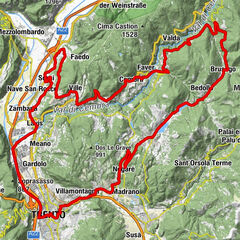
- Route
-
Cavalese (1,000 m)0.5 kmCarano2.3 kmKastell im Fleimstal3.2 kmMolina di Fiemme6.6 kmPizzeria Bar Al Lago7.7 kmStramentizzo7.9 kmAl Confin8.4 kmAl Picciolo8.8 kmAl Cristo9.1 kmIschie9.3 kmMaso Lio13.6 kmMiravalle13.7 kmCapriana14.2 kmGrumes22.0 kmValda25.5 kmFaver30.3 kmChiesa dell'Immacolata33.5 kmPiazzo33.7 kmParlo34.1 kmSaletto36.8 kmStedro36.8 kmSegonzano37.0 kmScancio37.1 kmSabion37.5 kmTeaio37.7 kmCasal37.9 kmGaggio41.2 kmGresta42.0 kmSover46.2 kmMezauno47.9 kmPiscine49.3 kmChiesa di Santa Barbara49.4 kmFraine50.4 kmChiesa di San Floriano52.4 kmCasatta52.6 kmPozza52.8 kmBarcatta53.1 kmPradel54.6 kmPizzeria 4 Venti54.6 kmStramentizzo58.9 kmAlla Foce59.0 kmPizzeria Bar Al Lago59.1 kmMolina di Fiemme60.1 kmKastell im Fleimstal63.4 kmCarano64.4 kmChiesa di San Vigilio66.0 kmCavalese (1,000 m)66.2 kmChiesa di San Sebastiano66.2 km
- Best season
-
JanFebMarAprMayJunJulAugSepOctNovDec
- Description
-
A sweet and short climb after Faver to reach Segonzano, another short but intense final climb from Cascata to Cavalese.
- Directions
-
Smooth, easy and fast route!
- Highest point
- 1,010 m
- Endpoint
-
Cavalese
- Height profile
-
 © outdooractive.com
 - Safety instructions
-
Please note that the practicability of the itineraries in a mountain environment is strictly linked to the contingent conditions and is therefore influenced by natural phenomena, environmental changes and weather conditions. For this reason, the information contained in this page may have changed. Before leaving for a tour, make sure the path you will approach is still accessible by contacting the owner of the mountain hut, the alpine guides or the visitor centres of the nature parks, the info offices of the local tourist board.
- Author
-
The tour Val di Cembra is used by outdooractive.com provided.
GPS Downloads


General info
Refreshment stop
Insider tip
A lot of view
Other tours in the regions