- Brief description
-
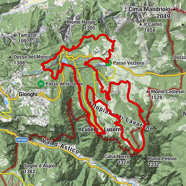
Lusernese loop of the 100 Km dei Forti route. Varied, fun, challenging! It covers the entire Zimber Lant, the Cimbrian community in the Trentino area, an exceptional testimony of history and culture. All this in one of the most beautiful natural settings in Trentino!
- Difficulty
-
difficult
- Rating
-
- Route
-
LusernTetsch1.0 kmChiesa di San Giovanni Battista2.4 kmMasetti2.5 kmBaita Cangi (1,370 m)12.5 kmBar Ristorante Baita al Verle16.4 kmFonte Costesin (Obartrogar)25.5 kmMalga Campo30.7 kmMillegrobbe34.5 kmMalga Millegrobbe34.5 kmTetsch38.6 kmLusern39.0 km
- Best season
-
JanFebMarAprMayJunJulAugSepOctNovDec
- Description
-
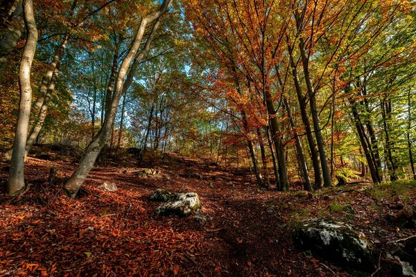
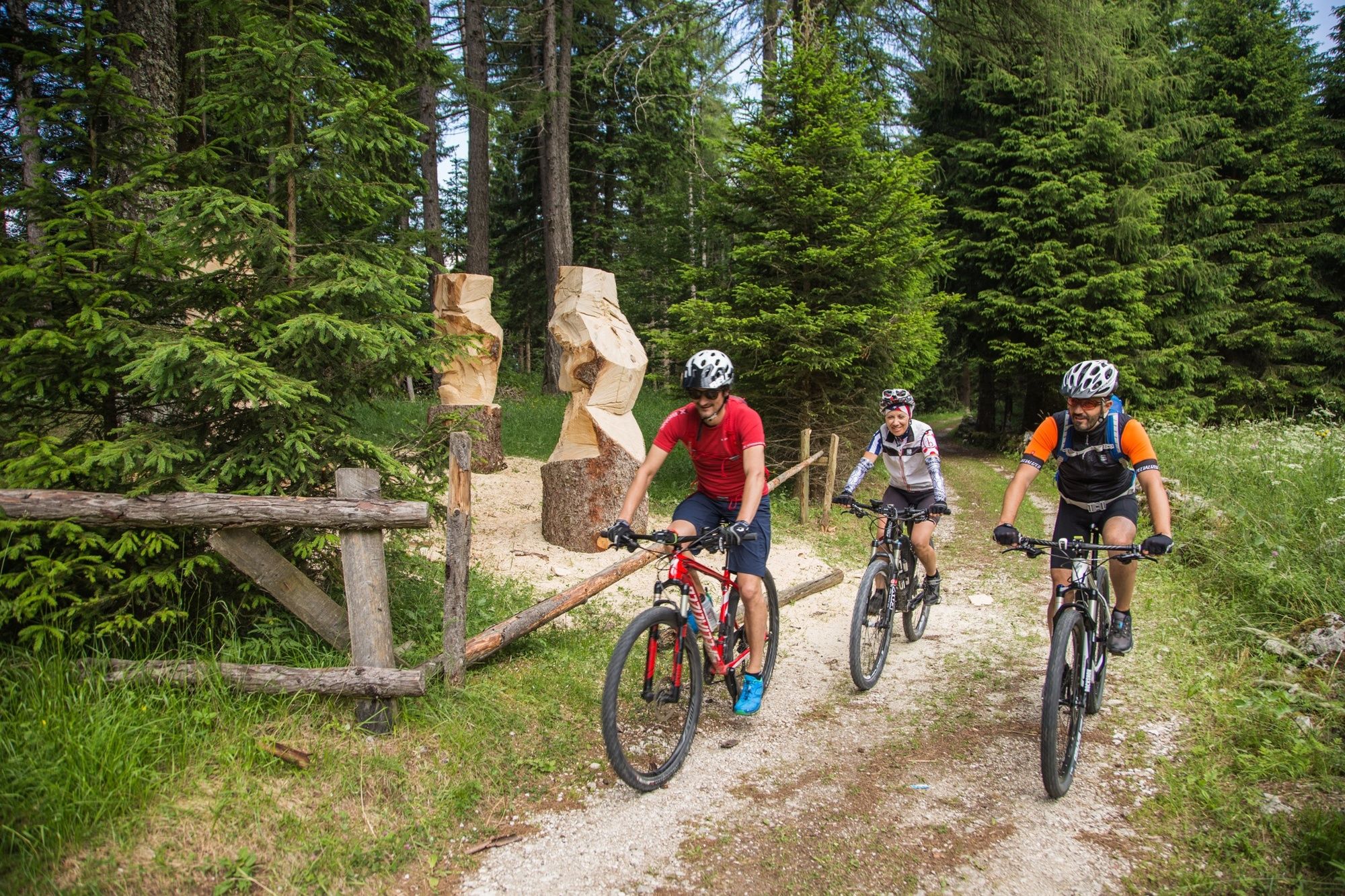
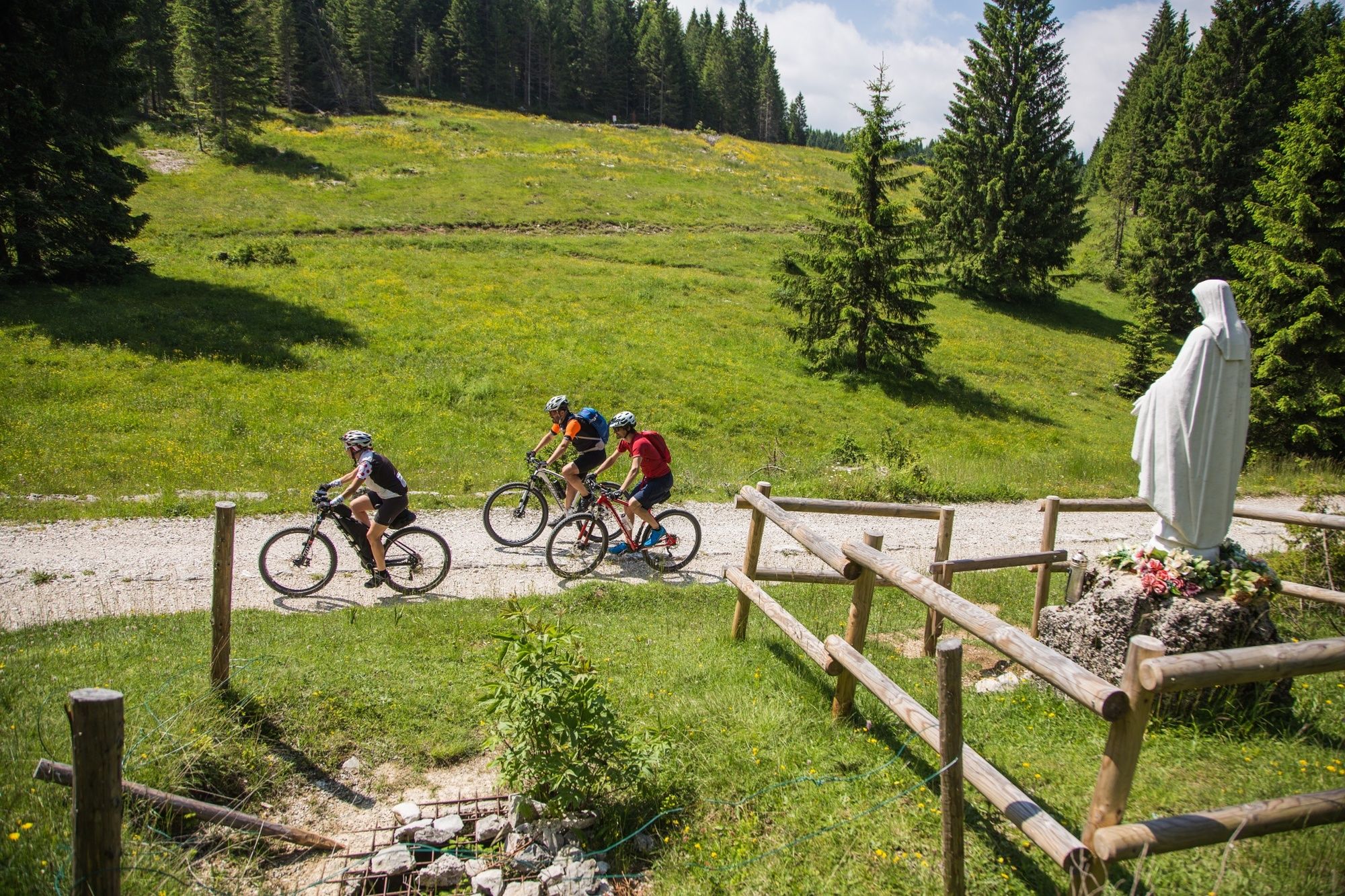
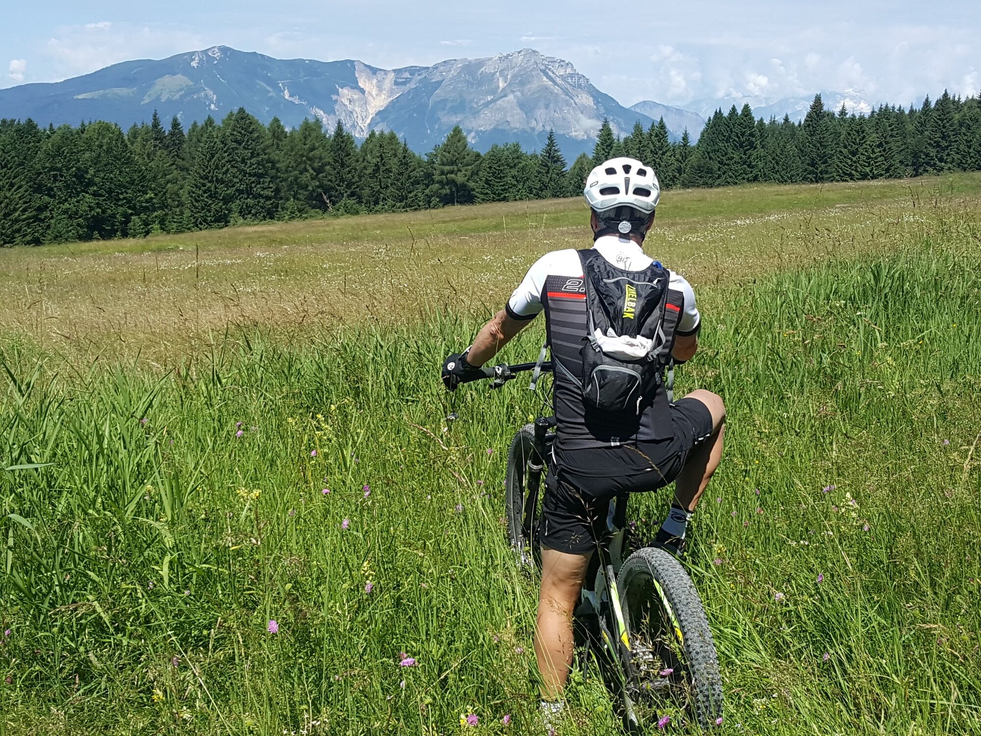
A long and exciting mountain bike ride on the paths and dirt roads of the Lusérn terrace, a magnificent alternation of descents and ascents in a sometimes wild natural environment that alternates between dense fir forests and wide pastureland, and unexpected panoramic viewpoints opening onto the deep Astico valley. The Great War forts are naturally the landmarks, Fort Busa Verle and Fort Lusérn, both protagonists of the Great War on the Trentino front. Along the route, the Hotel Bar Vezzena, the Baita del Neff, the Malga Millegrobbe resort and the Agritur Galeno, ideal for a refreshment stop or a gourmet break... a real treat! And along the way it is obligatory to stop and say hello to the grazing cows.
- Directions
-
From the centre of Luserna (1333 m), i.e. from the piazza, (signposted), we descend along an easy forest road to the tiny, characteristic hamlet of Masetti, we then reach the Malga Laghetto area, cross the SS349, after which we climb the Tablat rise (1350 m), descend to the Monte Rovere area, turn left towards Spiazzo alto (1380 m), we reach the Ponte alto area (1460 m), descend to the beautiful pastureland basin of Passo Vézzena (1402 m), climb to Monte Cucco (1575 m), descend to the pastureland area of Millegrobbe di sopra (1430 m), pass through Costalta and cross the Basson and the long Costesin road back to Luserna, touching on Forte Lusérn (1549 m) and Malga Millegrobbe di sotto (1424 m).
- Highest point
- 1,577 m
- Endpoint
-
Luserna / Lusérn
- Height profile
-
 © outdooractive.com
 - Safety instructions
-
As you can imagine, the practicability of itineraries in a mountain environment is closely linked to conditions and therefore depends on natural phenomena, environmental changes and weather conditions. For this reason, the information contained in this sheet may have changed. Before setting off, find out about the status of the route by contacting the manager of the huts on your route, mountain guides, nature park visitor centres and tourist offices.
- Tips
-
along the route you can find bike chalets for bike charging, route information and technical assistance
- Directions
-
Luserna is about 12 km away from Lavarone
- Public transportation
-
Luserna is served by the Trentino Trasporti public transfer. Info APT 0464 724144
- Parking
-
In the main square or nearby


-

-
AuthorThe tour 844 - 100 Km dei Forti - Lusern is used by outdooractive.com provided.