- Brief description
-
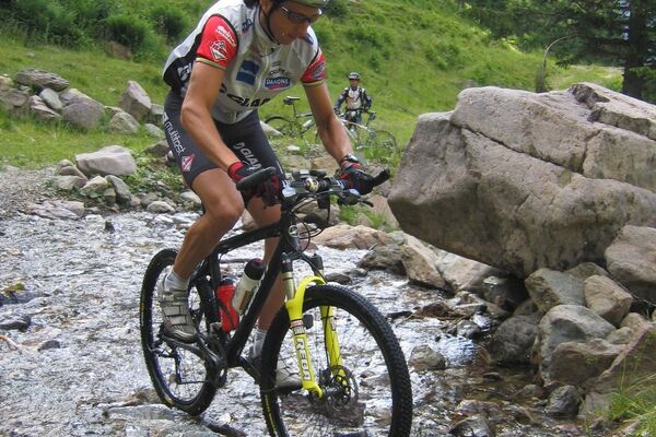
Talk about climbing mountains! This is quite a climb that puts our physical fitness and leg strength to the test. But it also gives us a beautiful and fun descent into the valley!
- Difficulty
-
difficult
- Rating
-
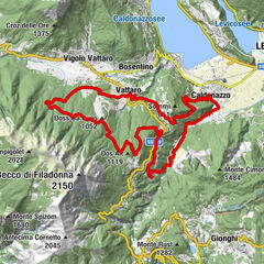
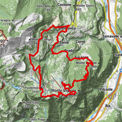
- Route
-
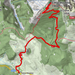
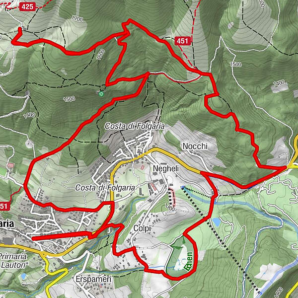
FolgariaCosta di Folgaria2.7 kmSorgente Fontanelle3.4 kmRif. Paradiso5.8 kmNocchi (1,319 m)10.6 kmColpi (1,266 m)12.5 kmSantuario Madonna delle Grazie12.5 kmFolgaria13.9 km
- Best season
-
JanFebMarAprMayJunJulAugSepOctNovDec
- Description
-
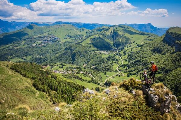
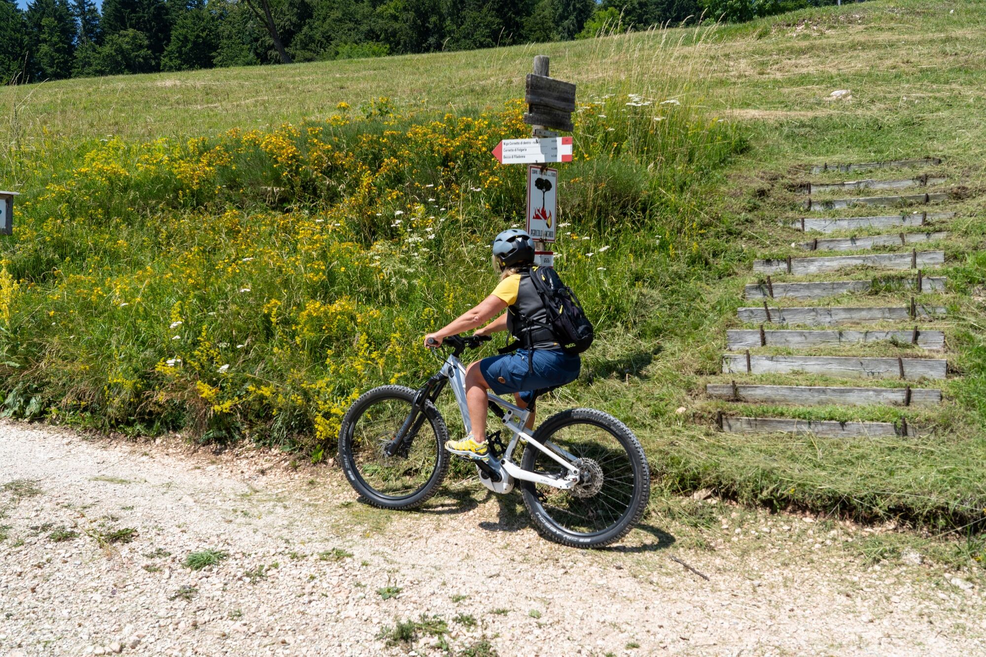
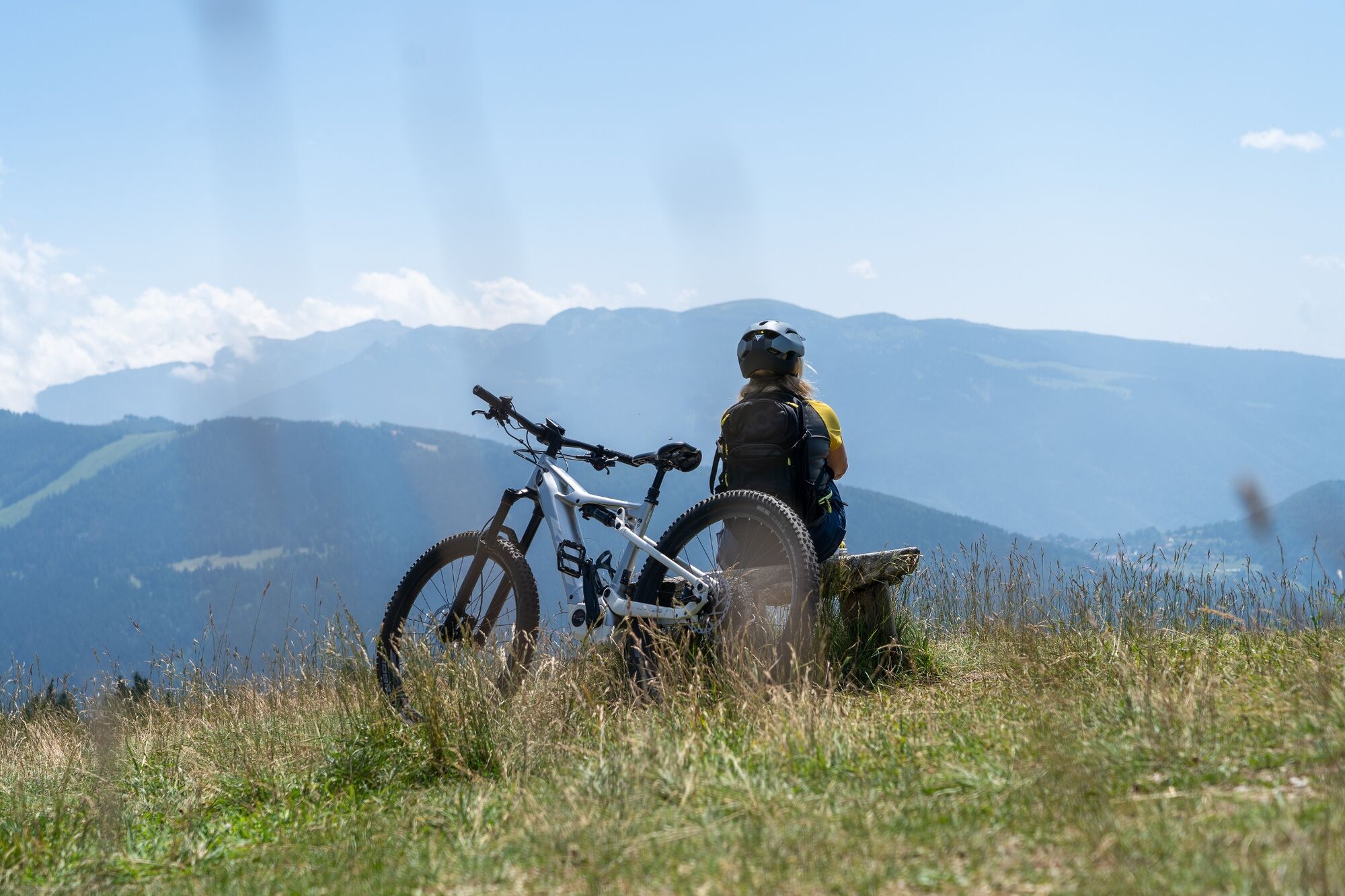
From Folgaria, firmly in the saddle, we tackle the wooded southern slope of Monte Cornetto and along centuries-old forest paths we ride higher and higher, up to an altitude of 1600 m. Fatigue? Of course, but it is worth it, the view from this point is magnificent, one of the widest in Trentino, reaching as far as the mountains overlooking Lake Garda! And then, you know, after the ascent there is the descent. And it is great fun to take the long dirt road that leads us down, up to an altitude of 1340 m, to Passo Sommo. We get back on the mountain bike, but now it's all fun. Through the ancient Maso Spilzi, the golf course and the Ecken biotope, we finally return to Folgaria. Wasn't that a wonderful climb?
- Directions
-
From Folgaria East, along Via Gen. L. Cadorna, we reach the village of Costa and before entering it we turn left onto the municipal road that leads to the La Pineta sports field. Before reaching the playing field, we follow the signs indicating a path that climbs the southern slope of Monte Cornetto. After a nice climb in the forest area (spruce) we reach the Paradiso locality. For the return journey, we reach the locality of Malga Cornetto di dentro and along an easy dirt road we descend to Passo del Sommo. After this we turn right, descend for about 300 m down the SS350 road towards Folgaria, turn left to take the small road down to Maso Spilzi, which crosses the golf course, borders the Ecken biotope, passes the Sanctuary and reaches Folgaria from the east.
- Highest point
- 1,649 m
- Endpoint
-
Monte Cornetto
- Height profile
-
 © outdooractive.com
 - Safety instructions
-
As you can imagine, the practicability of itineraries in a mountain environment is closely linked to conditions and therefore depends on natural phenomena, environmental changes and weather conditions. For this reason, the information contained in this sheet may have changed. Before setting off, find out about the status of the route by contacting the manager of the huts on your route, mountain guides, nature park visitor centres and tourist offices.
- Additional information
-
This trail demands athletic skills.
- Directions
-
Folgaria is only 18 km far from Rovereto (highway A22 exit Rovereto Nord) and 28 km from Trento (highway A22 exit Trento sud)
- Public transportation
-
Folgaria can be reached by public transport (Trentino Trasporti). Info APT Tel. +39 0464 724100
- Parking
-
In Folgaria est, near the big roundabout
-

-
AuthorThe tour 833 - Scalata Cornetto is used by outdooractive.com provided.