- Brief description
-
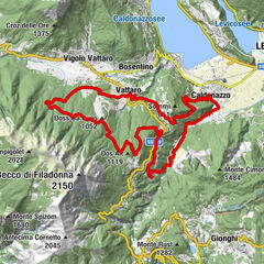
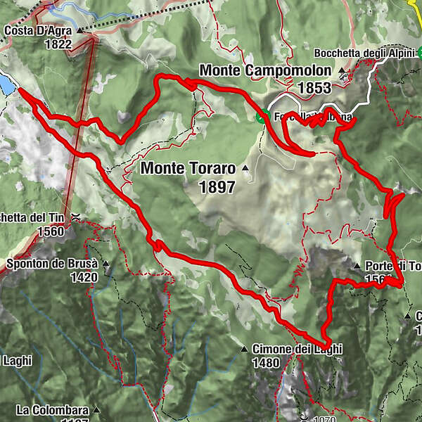
A beautiful, very scenic, circular route around Monte Toraro. It reaches sella Valbona and returns to Lago Coe. The views of the Veneto-Vicentine valleys are to be framed!
- Difficulty
-
medium
- Rating
-
- Route
-
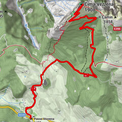
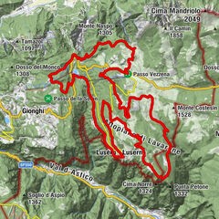
Sorgente Schioppauri di Toraro (1,400 m)8.6 kmRifugio Rumor13.0 km
- Best season
-
JanFebMarAprMayJunJulAugSepOctNovDec
- Description
-
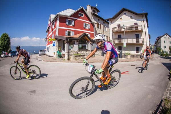
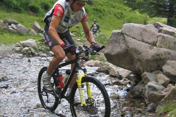
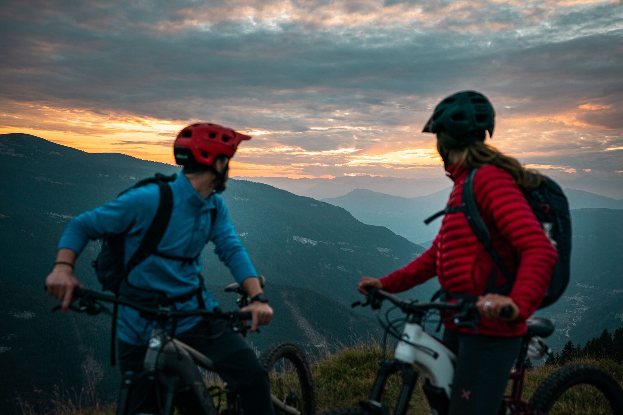
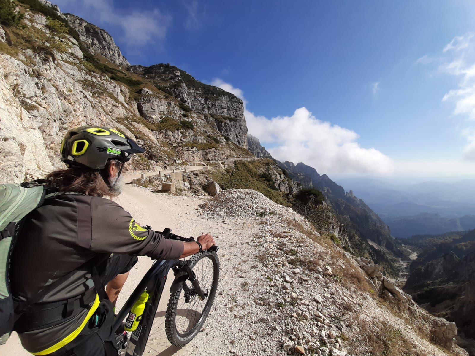
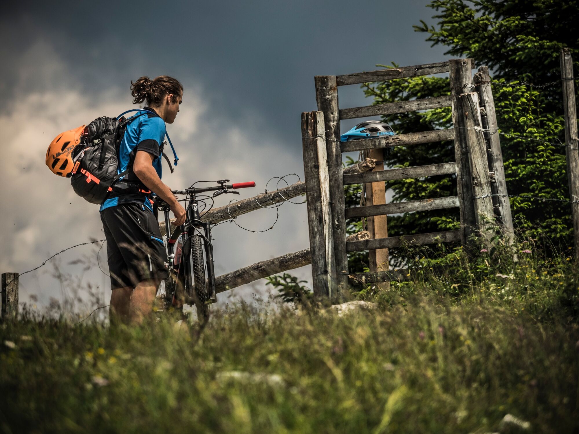
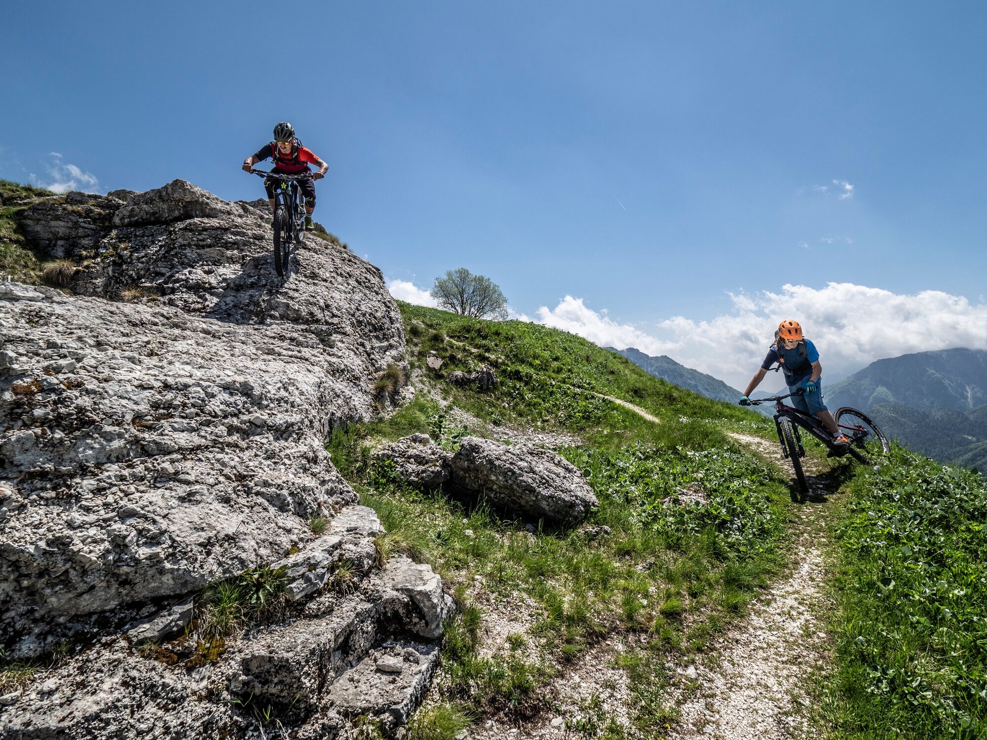
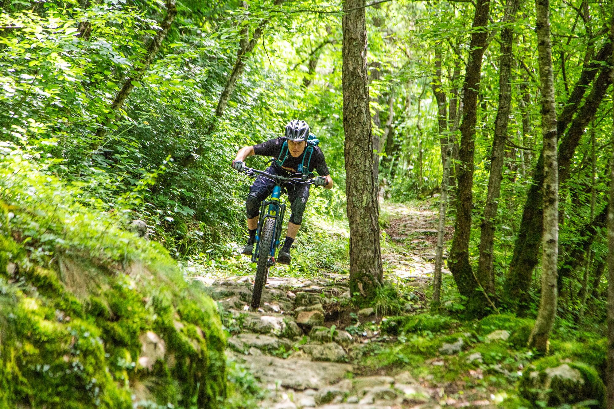
At a certain point along this route it seems that the world ends, that beyond the horizon there is nothing! Instead, beyond the horizon there are the valleys of Veneto-Vicenza and in the background there is, far away, Asiago. It is an alternation of horizons and vastness, of views and glimpses between Trentino and Veneto, that makes us feel that we are in an unusual and special place. And special it really is, a ring-route around Mount Toraro, a border mountain that has known the battles of the First World War and a radar garrison of the... Cold War. Chamois, roe deer, eagles and hawks can be our unusual and unexpected travelling companions. We recommend a visit to Base Tuono near Lake Coe and a refreshing stop at the Hangar Bar.
- Directions
-
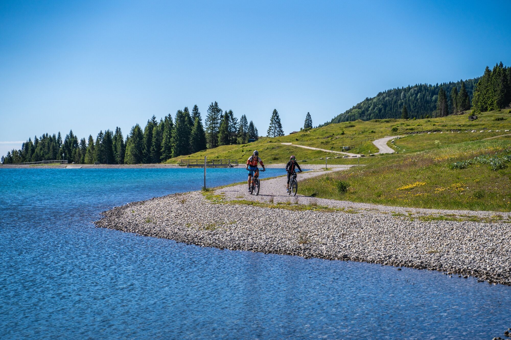
The route starts near Lake Coe - Sacrario di Malga Zonta (1543 m). It descends the long Val dei Campiluzzi valley, crossing the border between Trentino and Veneto (province of Vicenza); It continues along the easy dirt road that touches on Malga Campoluzzo superiore (1482 m), Malga Campoluzzo di mezzo (1430 m), Malga Campo Azzaron (1320 m), which bypasses the eastern slope of the mountain and gradually begins to climb, touching on Passo della Pianella (1365 m), Cappello del Vescovo (1490 m) and the junction for Malga Toraro until reaching, still gradually climbing, the Strada provinciale dei Fiorentini, near Rifugio G. Rumor (1658 m). From there it continues along a dirt road to the Valico di Valbona (1782 m) above, from which there is a wide panorama of the Asiago plateau. From the Valico we return to the starting point by descending the easy provincial road passing by Rifugio Valbona.
- Highest point
- 1,778 m
- Endpoint
-
Malga Zonta - Lago Coe
- Height profile
-
 © outdooractive.com
 - Safety instructions
-
As you can imagine, the practicability of itineraries in a mountain environment is closely linked to conditions and therefore depends on natural phenomena, environmental changes and weather conditions. For this reason, the information contained in this sheet may have changed. Before setting off, find out about the status of the route by contacting the manager of the huts on your route, mountain guides, nature park visitor centres and tourist offices.
- Directions
-
From the round about in Eastern Folgaria, follow the sings for Fondo Grande – Fondo Piccolo – Passo Coe. When you get there to Passo Coe, proceed for 1 km to Lago Coe – Coe lake.
- Public transportation
-
Bus transfer during the summer
- Parking
-
Next to Lago Coe (Coe lake), there is a big free parking area. During the summer, the Hangar Bar is open.
-

-
AuthorThe tour 845 - Toraro Ring is used by outdooractive.com provided.