- Brief description
-
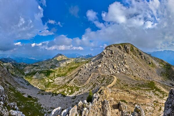
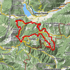
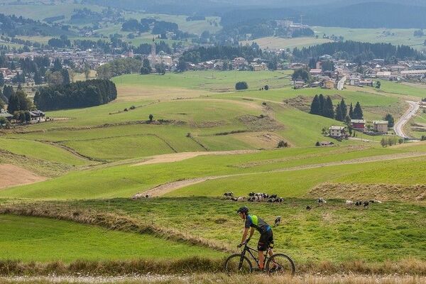
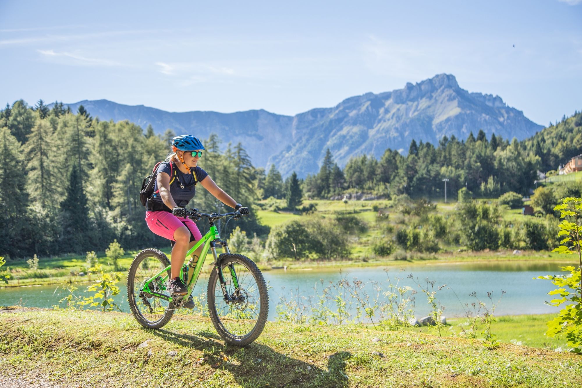
Great relaxing itinerary developing along uphills and downhills between traditional villages like Bertoldi and Chiesa and through grazing lands and meadows. We are in the heart of Lavarone!
- Difficulty
-
easy
- Rating
-
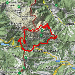
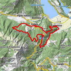
- Route
-
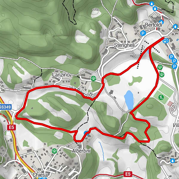
Bertoldi0.0 kmStengheli0.3 kmLanzino1.0 kmAlbertini2.1 kmBertoldi3.6 km
- Best season
-
JanFebMarAprMayJunJulAugSepOctNovDec
- Description
-
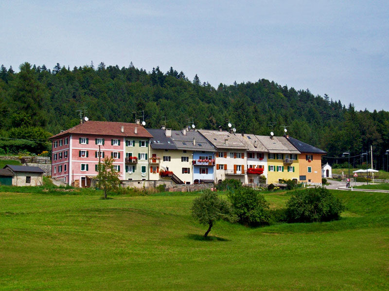
Starting in Bertoldi and passing through grazing lands until reaching the curious village of Lanzino, special for the multi-colored houses and the particular construction (the houses are very high and tight) proof of the wise saving mentality typical of the mountain people. They knew how to save up space, as space meant survival. Space, for instance, was vital for plantation and grazing lands. Further away, pass through the village of Albertini and the «fontana vècia», the old fountain of the village, witness of the past. From there, Bertoldi is only a few minutes away.
- Directions
-
From Bertoldi village, follow the dirt road taking to Lanzino. Further away, next to the crossing known as “the crossing of the Brewery”, proceed towards the village of Albertini, passing next to the traditional “fontana vecia” meaning in dialect old fountain and through meadows and sections of forests next to the wide sport area of Lavarone. From there in a few minutes you reach Bertoldi.
- Highest point
- 1,187 m
- Endpoint
-
Bertoldi
- Height profile
-
 © outdooractive.com
 - Safety instructions
-
Please note that the practicability of the itineraries in a mountain environment is strictly linked to the contingent conditions and is therefore influenced by natural phenomena, environmental changes and weather conditions. For this reason, the information contained in this page may have changed. Before leaving for a tour, make sure the path you will approach is still accessible by contacting the owner of the mountain hut, the alpine guides or the visitor centres of the nature parks, the info offices of the local tourist board.
- Directions
-
Bertoldi is located ca 1,5 km from Gionghi (round about)
- Public transportation
-
Bertoldi is served from the Trentino Trasporti public service. Info 0464 724144
- Parking
-
Wide parking area next to the starting point.
-

-
AuthorThe tour 822 - Bertoldi - Lanzino - Albertini is used by outdooractive.com provided.