
- Brief description
-
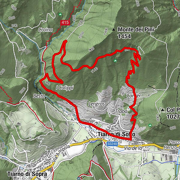
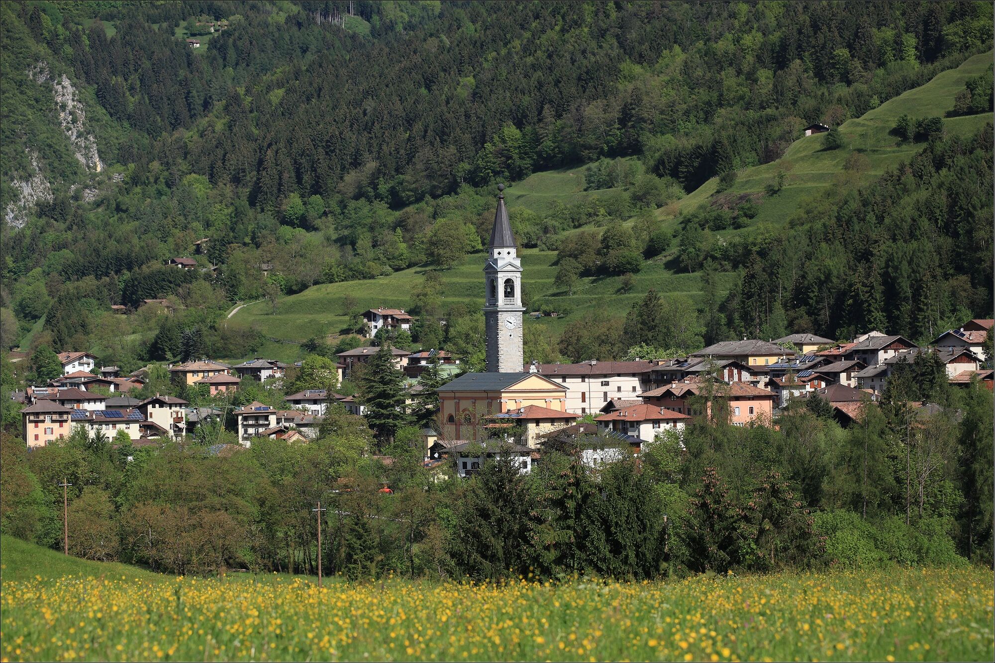
A short tour on the hangs of the Monte dei Pini (pine mountain in Italian), behind the village of Tiarno di Sotto.
- Difficulty
-
medium
- Rating
-
- Starting point
-
Tiarno di Sotto
- Route
-
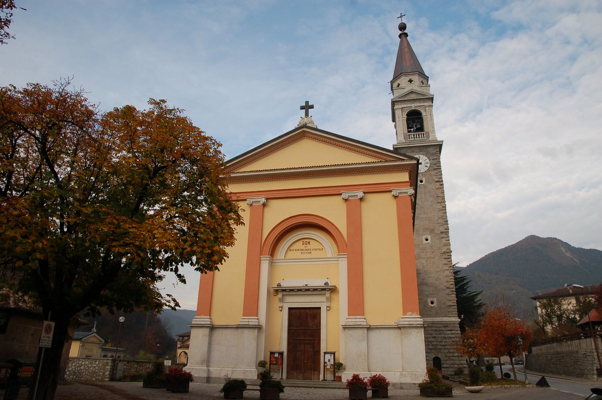
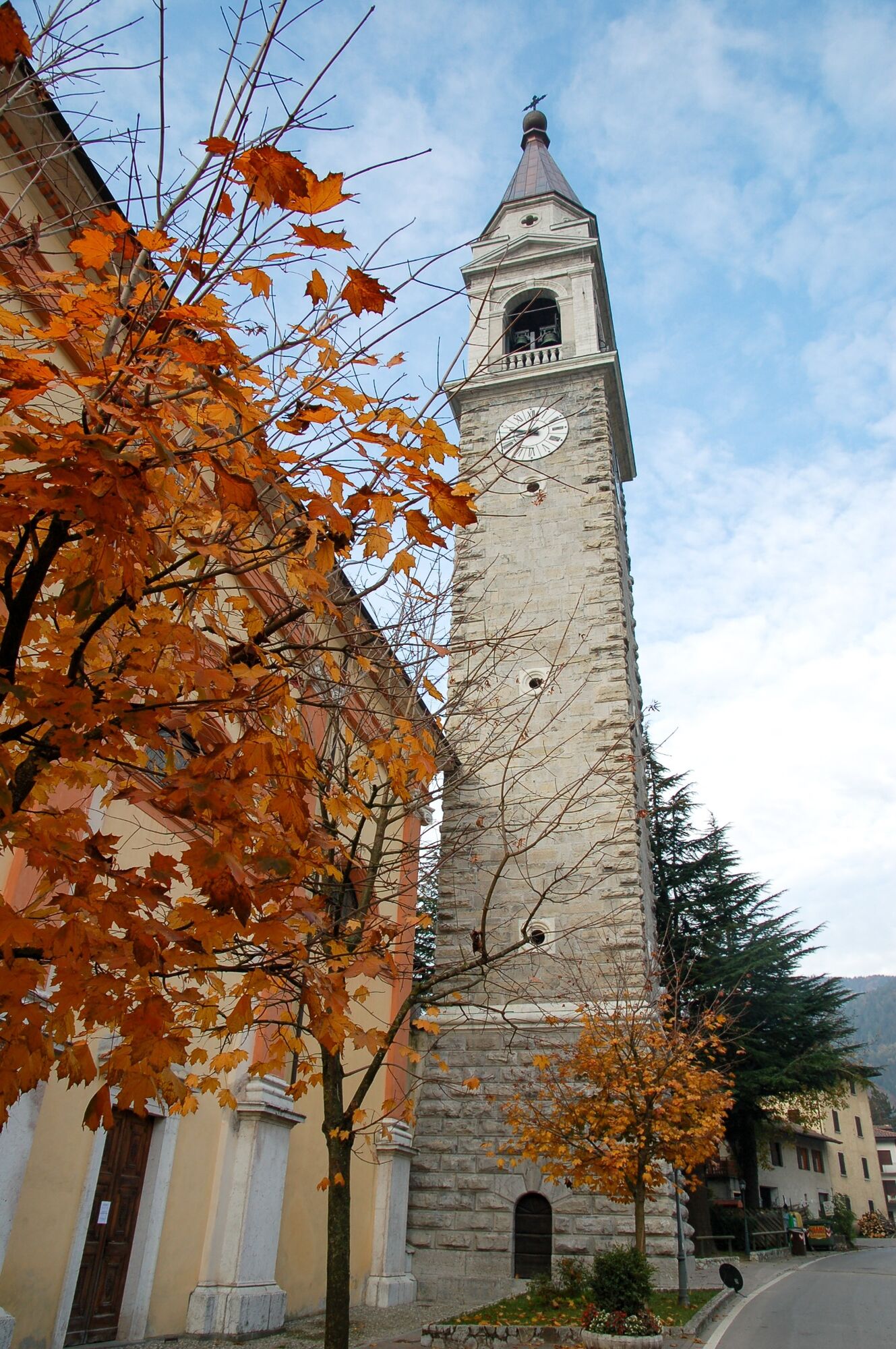
Tiarno di SottoChiesa di San Bartolomeo0.0 kmCascata Gorg d'Abiss1.4 kmCaverna alle Caldere4.4 kmCarnèr5.9 kmChiesa di San Bartolomeo6.9 kmTiarno di Sotto6.9 km
- Best season
-
JanFebMarAprMayJunJulAugSepOctNovDec
- Description
-
Signage: 727. Monte dei Pini Trail - Tour
The uphill leg of the tour is on an easy to ride forest road, but the slope should not be underestimated, whereas the descent takes place on a technically more demanding trail.
- Directions
-
Starting from the church in Tiarno di Sotto, we follow Via alla Sega until we reach a creek. Just before the creek, we turn right onto Via a la Van, marking the beginning of our ascent. After approximately 1 km, at a capital, we leave the tarmac and veer onto the forest road on the right. Continuing along the forest road, we reach the hill's summit, and shortly after starting the descent, a path comes into view on the right, which we take to descend to the valley. After a little over 1 km, the path turns into a forest road. Descending further, we arrive at a village, where we make a right onto Via Garibaldi, concluding our journey back to the starting point.
- Highest point
- 1,228 m
- Endpoint
-
Monte dei Pini
- Height profile
-
 © outdooractive.com
 - Equipment
-
Riding your bike requires specific clothing and equipment, even for relatively short and easy trips. It is always better to be prepared… e.g. for bad weather or a sudden drop in your energy levels. The unexpected things are part of the fun!
Remember to thoroughly evaluate the type of route you plan on doing, the locations you intend to cross and the current season. Has it been raining? Attention: The paths may be slippery and require more caution.
What do I need to bring on my bike tour?
An adequate water supply according to your needs (considering temperature, possibility of refuelling and duration of the route) Plenty of snacks (for example, dried fruit or energy bars) Waterproof / Windproof jacket A spare top / spare socks (Descending in a sweaty garment, will make you cold). Suncream Sunglasses Bike gloves/mitts Map or GPS device Bike lights: best placed on your helmet or handlebars. (It is always best to be prepared) Bike repair kit for punctures and mechanical breakdowns First aid kit Emergency whistleIt is always advised to let someone know where you plan to go and how long you expect to be.
Emergency telephone number 112.
- Safety instructions
-
ITRS - International Trail Rating System
The ITRS is an objective way to assess trails and routes from a biker’s perspective, evaluating four aspects:
Technical Difficulty: riding skill level needed Endurance: combined effect of length, uphill and downhill Wilderness: amount of planning required based on mobile phone reception, rescue options, water supply and wildlife Exposure: consequences of a fallDiscover more about the ITRS system and check the classification of this tour in the photo gallery.
Safety Tips
Always wear your helmet. Plan your ride. You share the trail with other users. Yield right of way to hikers. Let your speed be determined by your experience. Ride slowly on crowded trails, overtake with politeness and respect. Cycle only on authorized and open trails. Avoid muddy trails in order not to damage them further. Respect public and private property. Always be self-sufficient. Do not cycle solo in remote areas.This information is subject to inevitable variations, so none of these indications are absolute. It is not entirely possible to avoid giving inexact or imprecise information, given how quickly environmental and weather conditions can change. For this reason, we decline any responsibility for changes which the user may encounter. In any case, it is advisable to check environment and weather conditions before setting out.
- Tips
-
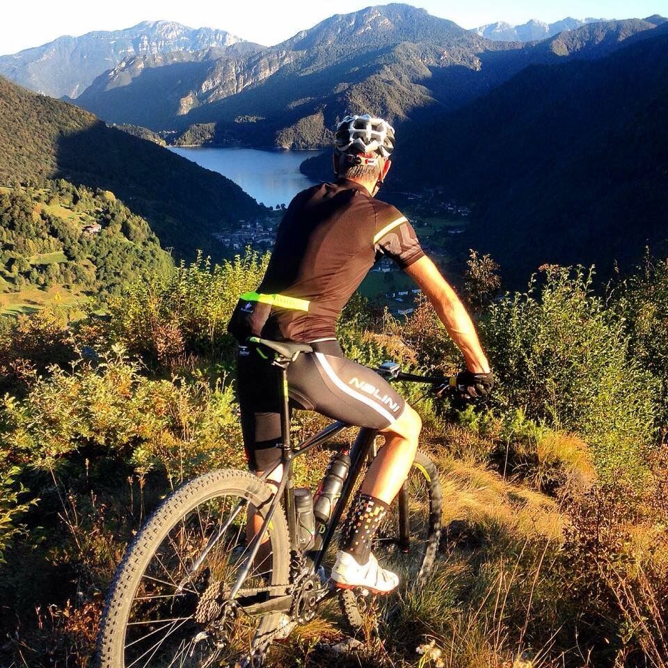
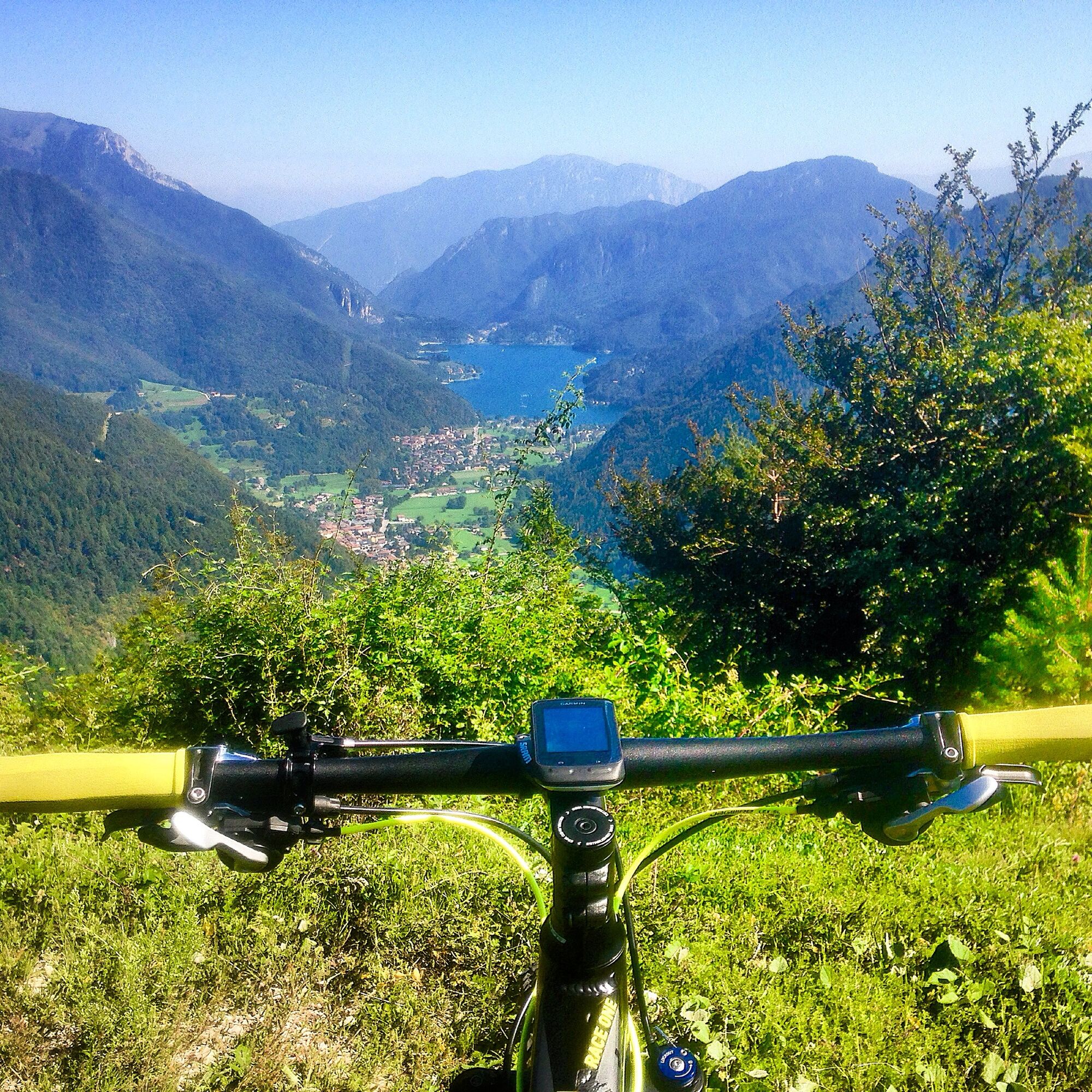
At the start of the descent, just before turning into the trail, it’s worth taking a short detour along the forest road to a place called Le caldiere. After two narrow curves the view opens towards Lake Ledro.
- Additional information
- Directions
- Public transportation
- Parking
-
Parking in Piazza San Giovanni Bosco in Tiarno di Sotto, in front of the church.
-

-
AuthorThe tour Monte dei Pini Trail - Tour is used by outdooractive.com provided.