
- Brief description
-
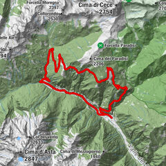
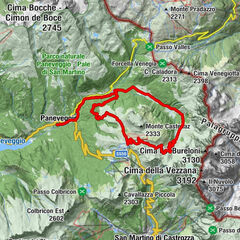
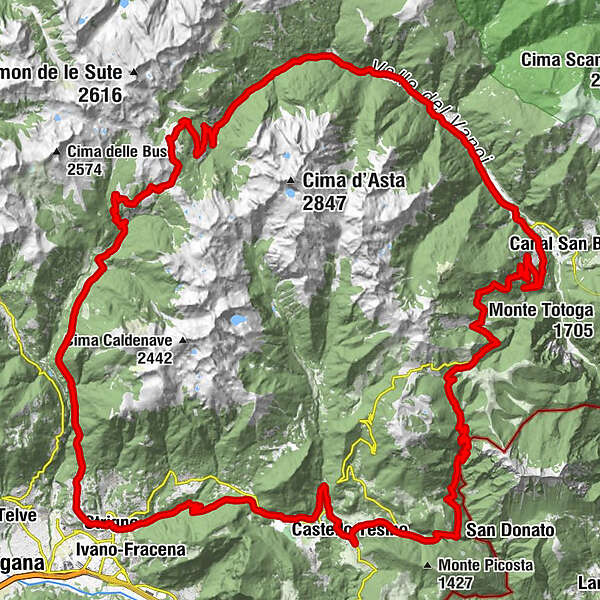
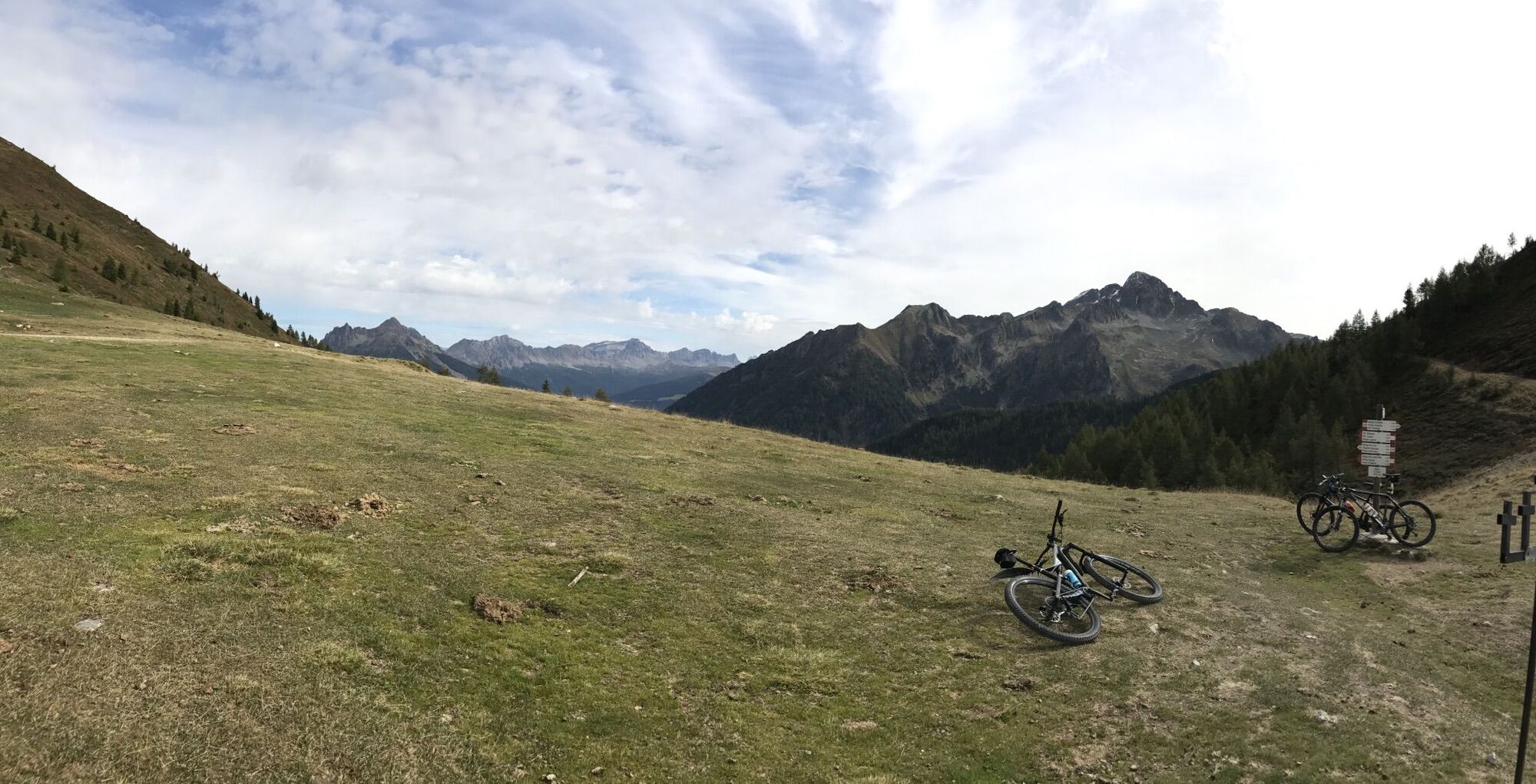
A circular tour that surrounds the Cima D'Asta granite massif, passing through the wild Val Campelle and the green Valle del Vanoi, in the heart of the Lagorai.
- Difficulty
-
difficult
- Rating
-
- Starting point
-
Strigno
- Route
-
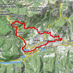
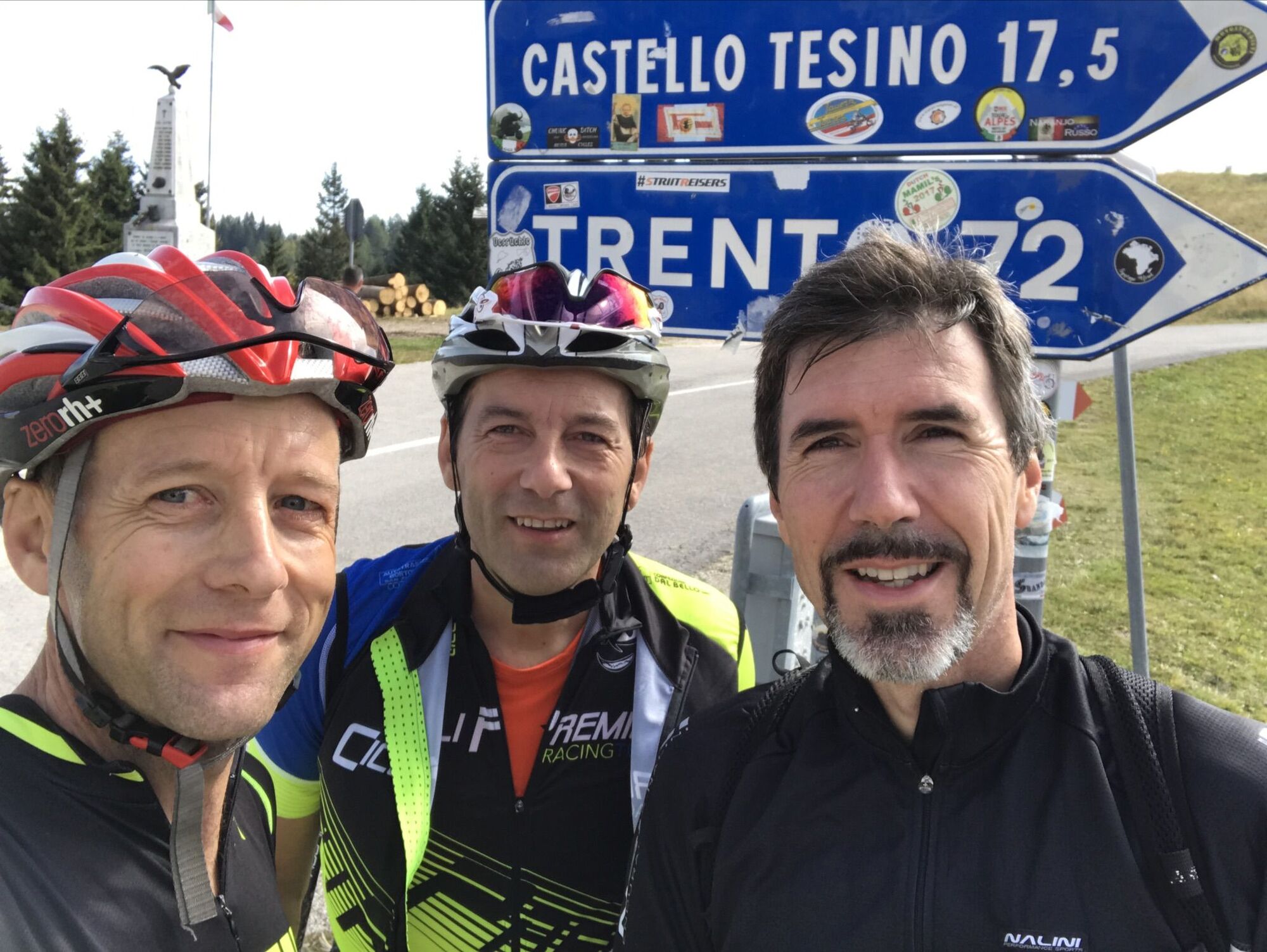
StrignoTomaselli0.1 kmSoiane0.9 kmSpera1.4 kmBròi1.4 kmSanta Maria Assunta1.5 kmSalita La Resot4.5 kmcascata della Brentana6.4 kmEra6.8 kmRifugio Crucolo7.6 kmCrucolo7.6 kmAia Dell'Orso23.7 kmRifugio Refavaie32.7 kmChiesetta del Pront34.1 kmCaoria Raffaei37.4 kmCaoria (817 m)38.3 kmLocalità Giaroni42.0 kmRonco Fosse (850 m)44.3 kmRonco Gasperi (900 m)44.3 kmPugnai (800 m)44.6 kmRonco Rizzi44.9 kmRonco Chiesa (876 m)45.7 kmLocalità Ronco Minei45.9 kmRonco Chiesa (876 m)46.0 kmRonco Nicolodi46.5 kmLocalità Pra Lopaie49.2 kmlocalità Salvelle50.4 kmGrotticella alla Casera Spessa54.2 kmHotel Pizzo degli Uccelli56.3 kmAlbergo Passo Brocon56.4 kmGrotta di Castel Tesino65.3 kmBus de l' Acqua65.4 kmPizzeria Crosara73.2 kmChiesa della Madonna della Torricella73.2 kmchiesa di San Giorgio73.2 kmCastello Tesino73.4 kmMolini (800 m)75.5 kmGrotta dell' Asenaro76.5 kmGrotta 1 delle sabbie76.7 kmGrotta 2 delle sabbie76.7 kmBiasoli77.0 kmColle San Sebastiano78.2 kmPieve Tesino (843 m)78.7 kmQuintasana80.0 kmParco giochi Maso Adelina81.8 kmRavacena82.8 kmPonte de fighi86.5 kmTomaselli87.5 kmStrigno87.8 km
- Best season
-
JanFebMarAprMayJunJulAugSepOctNovDec
- Description
-
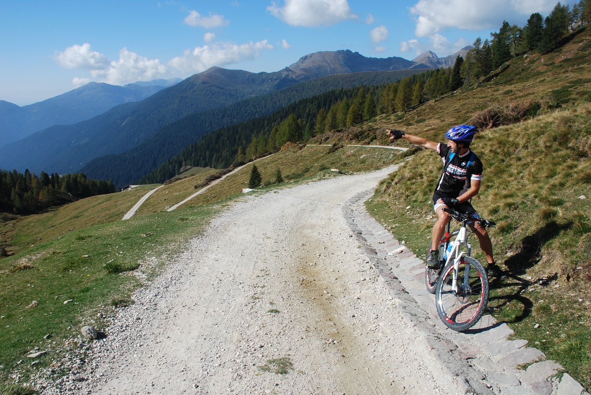
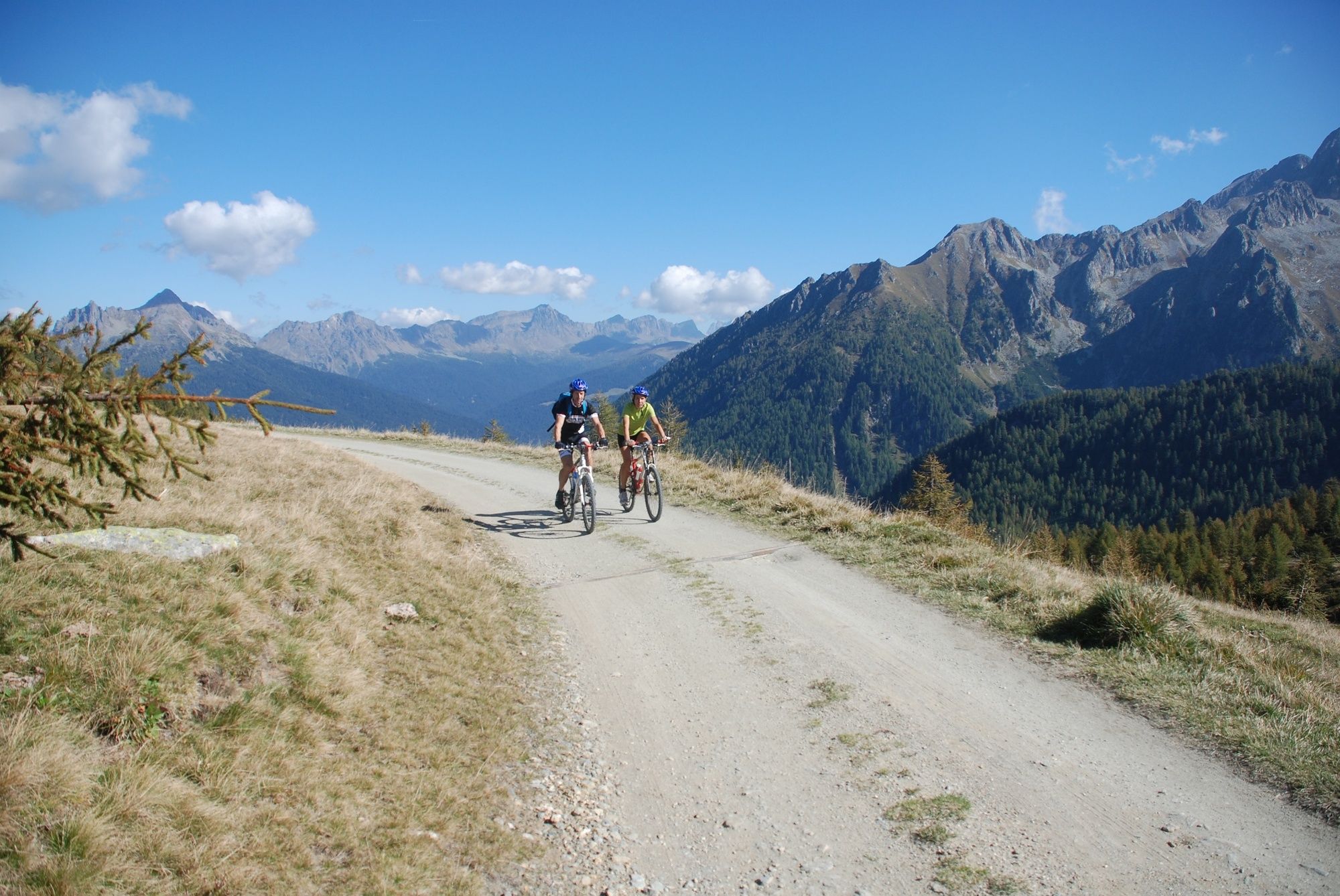
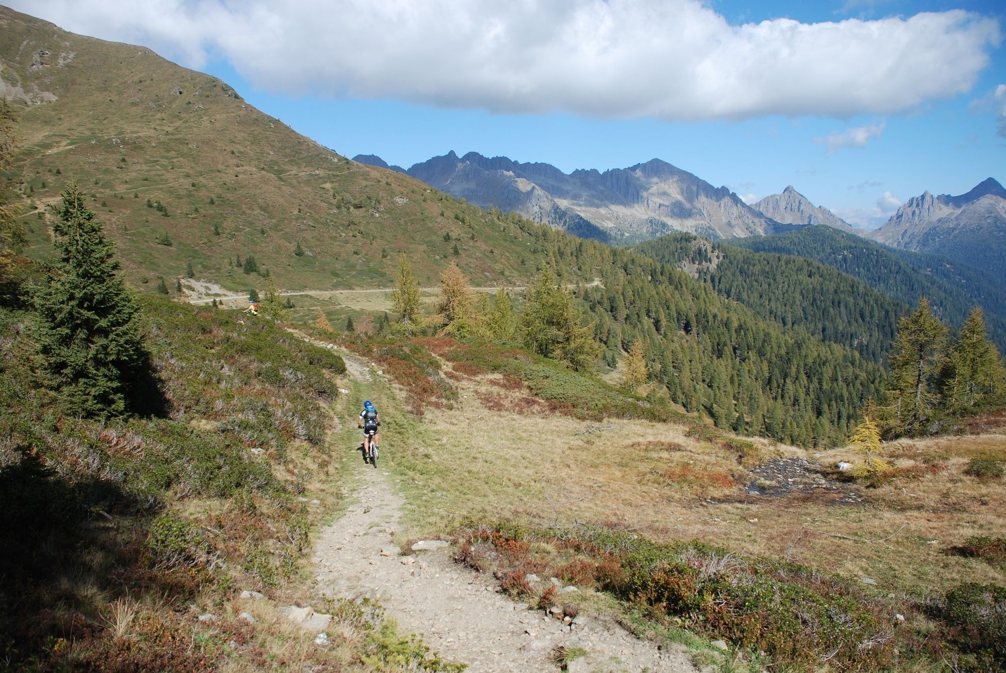
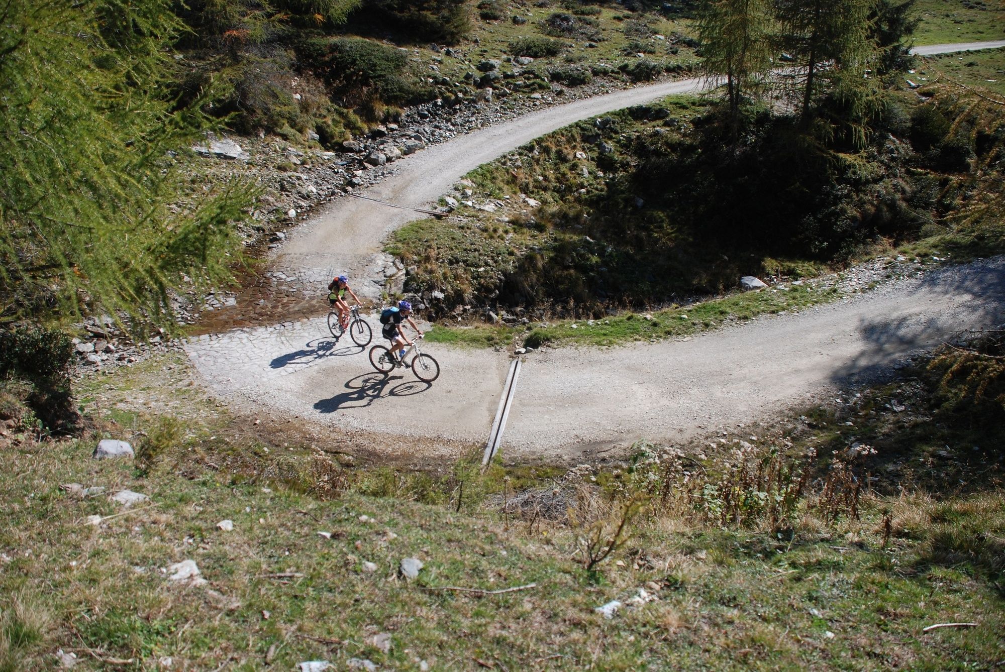
A technical and demanding tour, planned for two days march. The sceneries, the variety of landscapes and the size of the Cima d’Asta massif compensate for the effort that it takes to complete this tour, it can be made clockwise or counter clockwise, and provides for an overnight stay in a shelter or a farm. The change between paved roads and forest roads with uneven ground makes the route an interesting experience
- Directions
-
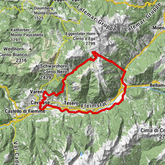
A technical and demanding tour, planned for a two-day march. The route starts from Strigno, continues up to Spera and runs along the paved road in Val Campelle up to Conseria bridge. From here, ride on the dirt road up to Passo Cinque Croci, then descent Val Cia to Rifugio Refavaie. The route continues on asphalt road along a part of Val Caoria, along the stream Vanoi until you cross the road with switchbacks that leads to Passo Brocon. When you reach Passo Brocon, ride down on a dirt road along Val Senaiga, pass near the Castello Tesino caves and to La Cascatella park. Then continue until Castello T. to Pieve T., bike up to Passo La Forcella; from here on, the paved road continues to Strigno.
- Highest point
- 2,022 m
- Endpoint
-
Strigno
- Height profile
-
 © outdooractive.com
 - Safety instructions
-
BIKER’S CODE OF RESPONSIBILITY
Plan your ride
Share the trail with other users
Yield right of way to hikers
Let your speed be determined by your experience
Ride slowly on crowded trails, overtake with politeness and respect
Cycle only on authorized and open trails
Avoid muddy trails in order not to damage them further
Respect nature, plants, animals and the trail
Do not frighten animals
Take your rubbish home with you
Respect public and private property
Always be selfsufficient
Do not cycle solo in remote areas
Take back home only good pics
ALWAYS WEAR YOUR HELMET !
Suggestions taken from NORBA and IMBA codes of conduct.
The information on this chart is subject to inevitable variations, so this means that none of the indications are absolute. It is not entirely possible to avoid giving inexact or imprecise information, given how quickly environmental and weather conditions can change. For this reason we decline any responsibility for changes which the user may encounter. In any case, the hiker is advised to check the conditions of the places, environment and weather before setting out.
Please note that the practicability of the itineraries in a mountain environment is strictly linked to the contingent conditions and is therefore influenced by natural phenomena, environmental changes and weather conditions. For this reason, the information contained in this page may have changed. Before leaving for a tour, make sure the path you will approach is still accessible by contacting the owner of the mountain hut, the alpine guides or the visitor centres of the nature parks, the info offices of the local tourist board.
- Author
-
The tour MTB - Cima D'Asta Tour 2343 is used by outdooractive.com provided.