Dolomiti di Brenta Bike Explorer - Altopiano della Paganella: il monte Gazza e la Paganella


- Brief description
-
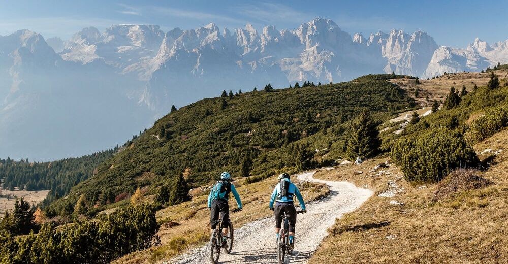
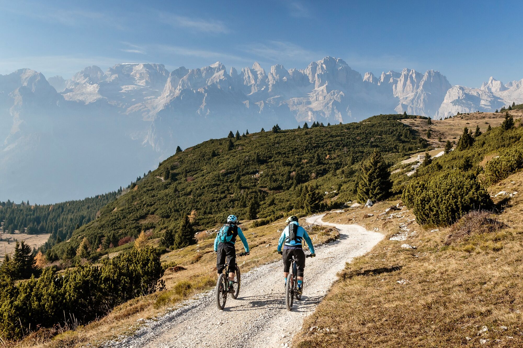
The terrace overlooking the Dolomites!
- Difficulty
-
difficult
- Rating
-
- Starting point
-
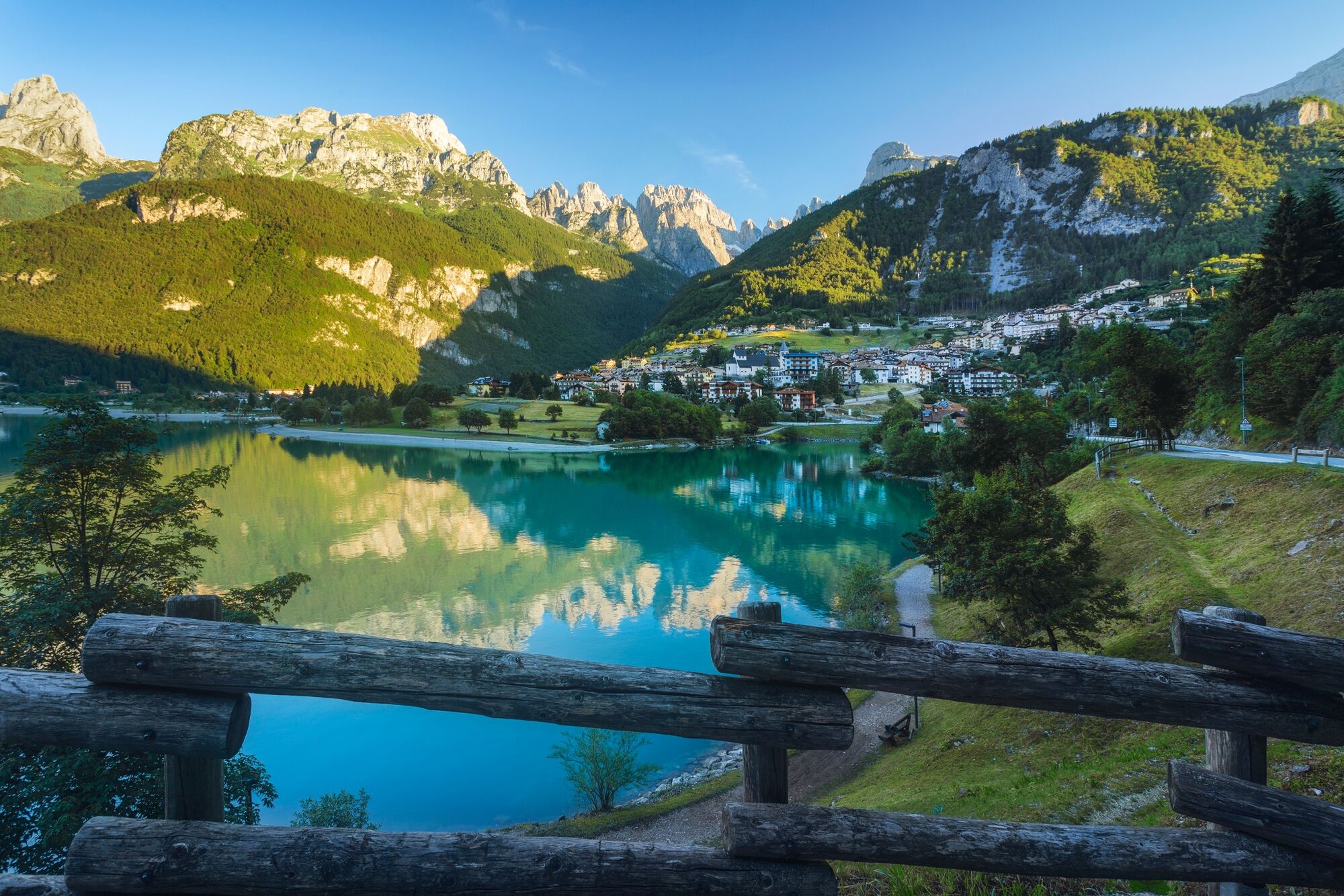
Molveno
- Route
-
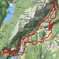
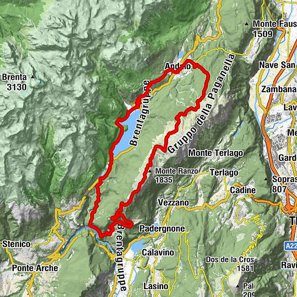
Molveno0.0 kmSantuario Madonna del Caravaggio9.7 kmDeggia9.8 kmSorgente Masere13.3 kmRanzo (746 m)14.6 kmchiesa di San Nicolò14.6 kmMargone17.8 kmMalga Bael20.3 kmChalet Paganella 233.0 kmMalga Terlago33.7 kmAlbi de Mez34.4 kmChiesa dei Santi Vito, Modesto e Crescenzia39.6 kmAndalo39.8 kmMaso Pont40.0 kmMaso Ghezzi40.6 kmValbiole (1,183 m)42.6 kmSpiaz de Piof (1,160 m)43.0 kmChiesa di San Carlo45.6 kmMolveno45.7 km
- Best season
-
JanFebMarAprMayJunJulAugSepOctNovDec
- Description
-
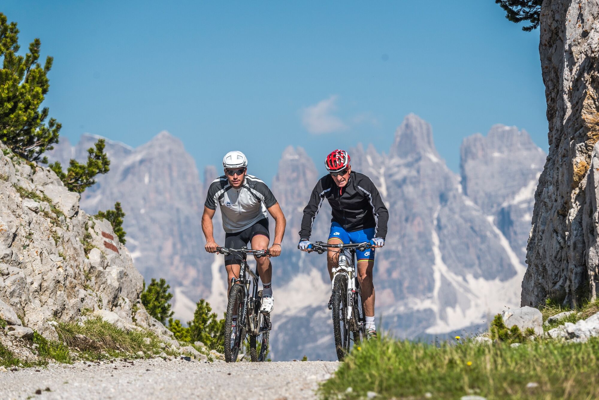
You diverge from the Dolomiti di Brenta Bike main route at Lake Nembia: views over the Limarò gorge and of the lakes of Toblino, Cavedine and Garda reward your efforts after the tough uphill to Margon (according to a local sign, “where silence is a precious resource”) and up again to the alpine pastures at Gazza. From here you cross grazing land and pastures to Monte Gazza and Paganella: a tableland you can cycle across with spectacular views of the Dolomites!
- Highest point
- 1,902 m
- Endpoint
-
Molveno
- Height profile
-
 © outdooractive.com
 - Equipment
-
Helmet, gloves, clothes change, rain jacket, sunglasses, tool set, suntan cream, water, energy bars, map, GPS device.
- Safety instructions
-
Please note that the practicability of the itineraries in a mountain environment is strictly linked to the contingent conditions and is therefore influenced by natural phenomena, environmental changes and weather conditions. For this reason, the information contained in this page may have changed. Before leaving for a tour, make sure the path you will approach is still accessible by contacting the owner of the mountain hut, the alpine guides or the visitor centres of the nature parks, the info offices of the local tourist board.
- Additional information
-
http://www.dolomitibrentabike.it/lang/IT//track/dettaglio_itinerario/itinerario_dati/57
www.visitdolomitipaganella.it
http://www.ttesercizio.it/
http://www.trenitalia.com/
http://www.bahn.de
- Directions
-
From Trento: SS. 45bis direction Riva del Garda-Tione di Trento-Madonna di Campiglio to Sarche, then SS. 237 direction Tione di Trento-Terme di Comano-Madonna di Campiglio; before reaching Terme di Comano, turn right on a bridge following the indications to San Lorenzo in Banale-Molveno-Andalo.
From Trento: road to Mezzolombardo-Val di Non; after some 25 kms., just after the tunnel, turn right direction Fai della Paganella-Andalo-Molveno (SP 64)
From San Michele all'Adige: SS. 43 direction Val di Non; just after Mezzolombardo, turn left direction Fai della Paganella-Andalo-Molveno (SP 64)
From Riva del Garda: SS. 240 direction Arco-Sarche; at traffic-circle in Sarche, turn left on the SS. 237 direction Tione di Trento-Terme di Comano-Madonna di Campiglio; before reaching Terme di Comano, turn right on a bridge following the indications to San Lorenzo in Banale-Molveno-Andalo.
From Brescia: SS. 237 direction Tione di Trento-Madonna di Campiglio; at the traffic-circle in Tione, continue on the right, direction Terme di Comano-Trento. After passing the village of Ponte Arche, turn left on a bridge following the indications to San Lorenzo in Banale-Molveno-Andalo.
- Public transportation
-
Railway station Trento or Mezzocorona (here regional trains only), then public bus-service - Trentino Trasporti S.p.A.
line 201 Trento-Ponte Arche. Then line 208 Ponte Arche-Stenico-San Lorenzo in Banale-Molveno
line 205 Riva del Garda-Sarche and 201 Sarche-Ponte Arche. Then line 208 Ponte Arche-Stenico-San Lorenzo in Banale-Molveno
line 611: Trento-Mezzocorona-Mezzolombardo-Andalo-Molveno
- Parking
-
Lake-promenade
-

-
AuthorThe tour Dolomiti di Brenta Bike Explorer - Altopiano della Paganella: il monte Gazza e la Paganella is used by outdooractive.com provided.


General info
-
Altopiano della Paganella
174
-
Molveno
73