© APT - Val di Non - APT Val di Non
© APT - Val di Non - Silvia Gentilini
© APT - Val di Non - Silvia Gentilini
© APT - Val di Non - Silvia Gentilini
© APT - Val di Non - Silvia Gentilini
© APT - Val di Non - Silvia Gentilini
© APT - Val di Non - Silvia Gentilini


- Brief description
-
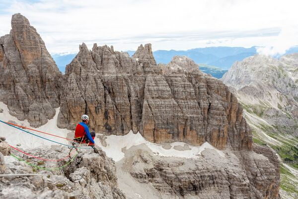
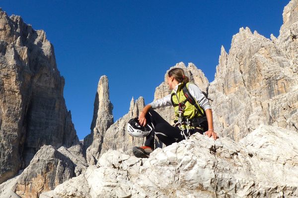
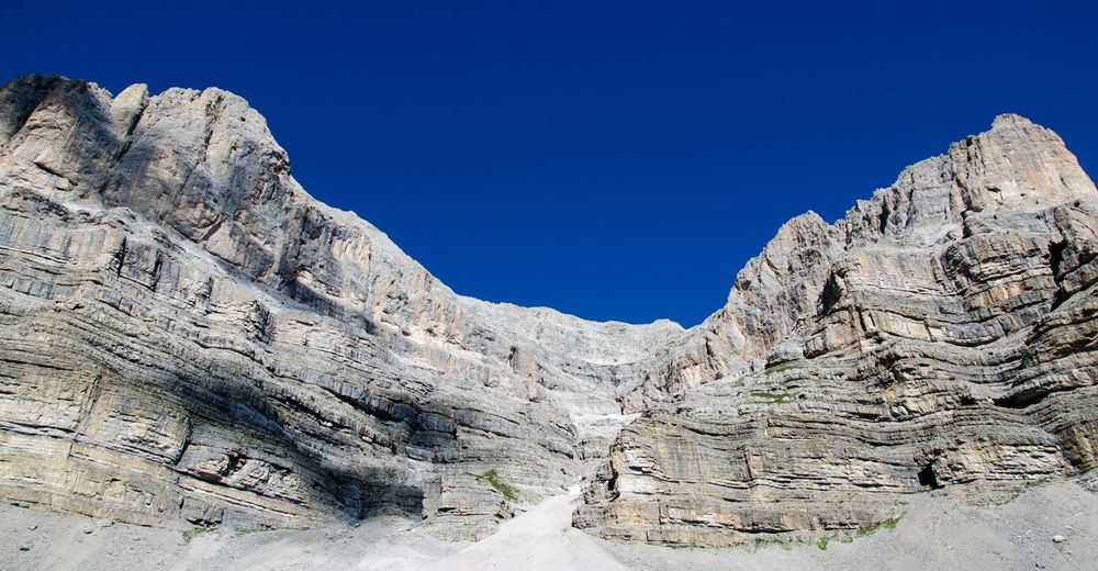
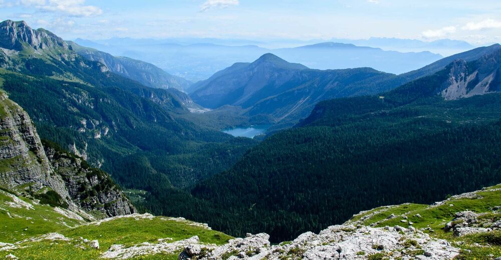
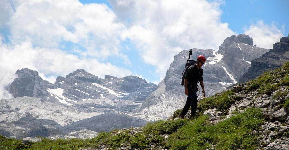
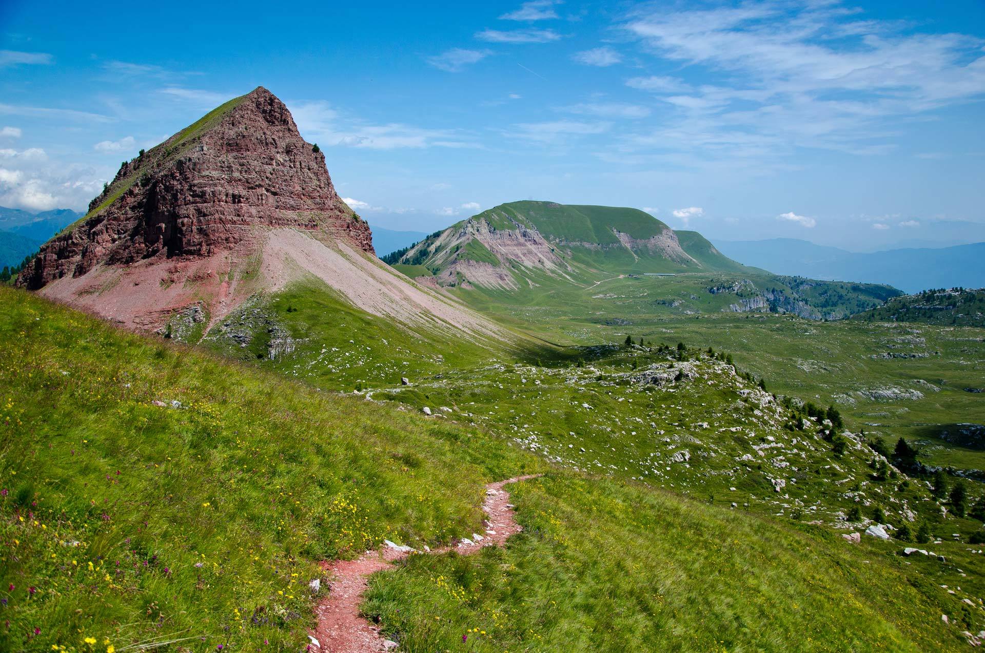
Questo unico itinerario permette di conoscere ed ammirare per intero il grandioso e verticale mondo delle Dolomiti di Brenta.
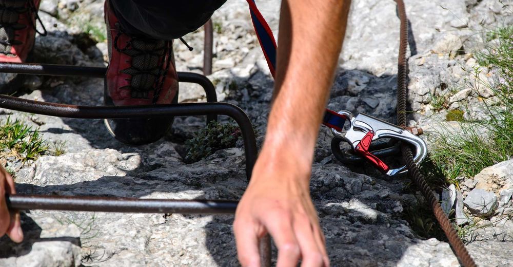
- Difficulty
-
difficult
- Rating
-
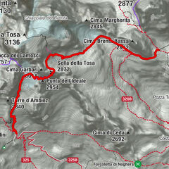
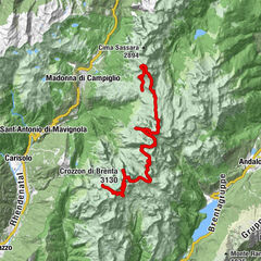
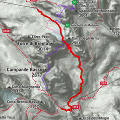
- Route
-
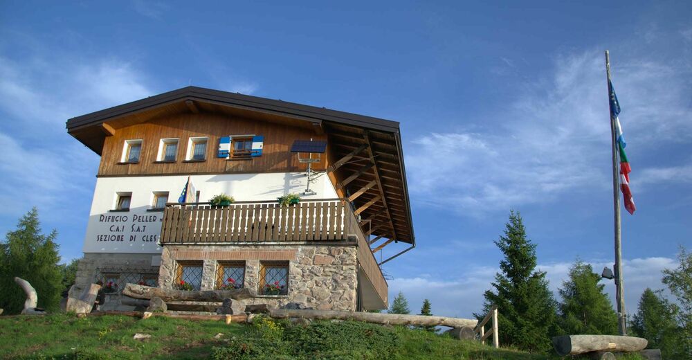
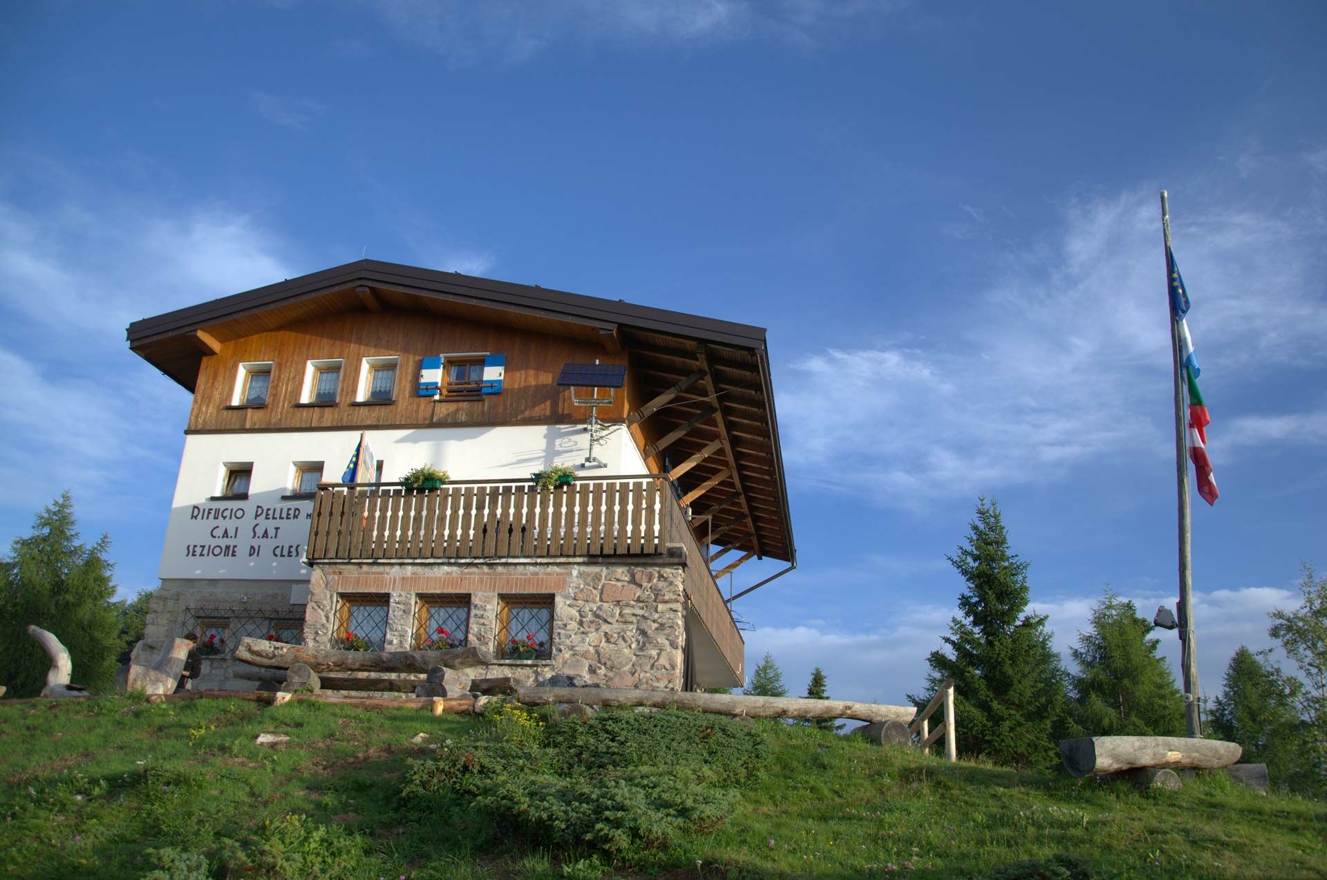
Rifugio Peller0.0 kmCima Nana (2,572 m)8.2 kmSasso Rosso (2,645 m)9.4 kmCima Benon (2,684 m)10.5 kmSchiena d'asino10.7 kmCima di Tuena (2,679 m)10.9 kmBocca del Vento (2,582 m)11.2 kmCima del Vento (2,755 m)11.5 kmCima delle Livezze (2,780 m)11.8 kmCima Rocca (2,831 m)12.0 kmCima Sassara (2,894 m)13.3 kmSasso Alto (2,897 m)13.5 kmCima Grostè (2,901 m)21.9 kmCampanile dei Camosci (2,920 m)22.3 kmCima Falkner (2,990 m)22.7 kmSpallone dei Massodi (3,004 m)25.6 kmCima di Molveno (2,917 m)25.9 kmCappella del Redentore28.5 kmRifugio Tommaso Pedrotti28.6 kmSella della Tosa (2,872 m)31.1 kmBocca della Tosa31.3 kmPunta dell'Ideale (2,954 m)31.3 kmBocca dei Camosci (2,757 m)35.8 kmBocca D’Ambiez (2,870 m)36.1 km
- Best season
-
JanFebMarAprMayJunJulAugSepOctNovDec
- Highest point
- 2,951 m
- Endpoint
-
Rifugio 12 Apostoli
- Height profile
-
 © outdooractive.com
 - Safety instructions
-
Please note that the practicability of the itineraries in a mountain environment is strictly linked to the contingent conditions and is therefore influenced by natural phenomena, environmental changes and weather conditions. For this reason, the information contained in this page may have changed. Before leaving for a tour, make sure the path you will approach is still accessible by contacting the owner of the mountain hut, the alpine guides or the visitor centres of the nature parks, the info offices of the local tourist board.


- Author
-
The tour Alta Via Ferrata Attraversata del Brenta is used by outdooractive.com provided.
GPS Downloads


General info
Refreshment stop
Other tours in the regions