- Brief description
-
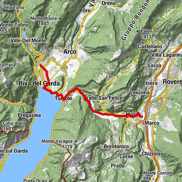
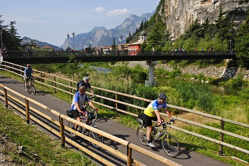
This track joins the Vallagarina to the area of Lake Garda, and is connected to the Valle dell’Adige cycling path that goes from Trento to Rovereto.
- Difficulty
-
easy
- Rating
-
- Starting point
-
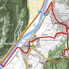
Mori
- Route
-
Seghe II0.3 kmMori1.8 kmSant'Antonio (224 m)5.3 kmLoppio5.9 kmMaso dello speck6.0 kmSantissimo Nome di Maria6.1 kmNago11.1 kmVal del Molin11.2 kmQuartiere Europa11.9 kmTorbole12.5 kmChiesa di Sant'Andrea12.8 kmPrà de la Fera13.0 kmPurfina15.6 kmRiva del Garda16.3 kmVarone19.2 km
- Best season
-
JanFebMarAprMayJunJulAugSepOctNovDec
- Directions
-
The overall length is about 20 km, divided into two sections (from Mori to Torbole and Torbole-Riva del Garda-Varone), and the average time required is about 2 and a half hours. There is a cumulative elevation gain of about 100 m on the Mori-Torbole section.
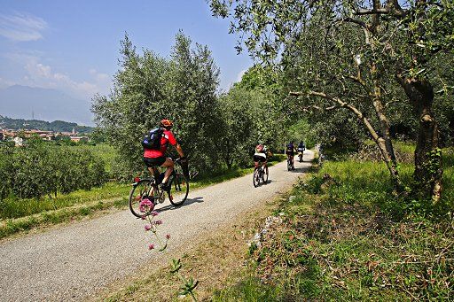
The trail begins in Mori, south of Rovereto, right after the ENEL barrier. After travelling a few roads with mixed traffic, you enter the cycling path that runs alongside the Rio Cameras canal. After a few kilometres you reach Nago, crossing the typical biotope of Lake Loppio - a lake that is dried up most of the year.
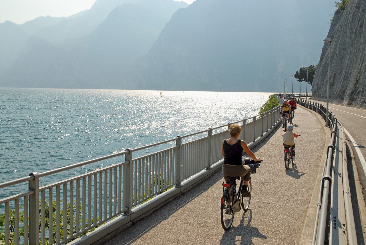
The point at the top of the wall south of Nago - which was once home to a railway network - is a particularly panoramic spot. This is the ideal prelude to the subsequent descent towards Torbole, an enchanting village on the shore of the lake. From here, you begin the second section of the route, which develops along the beaches of the shore until you reach Riva del Garda.
A branch in the route allows those who feel up to the challenge to climb for a kilometre along the Varone river, until they reach the spectacular Varone waterfall , to be visited on foot. For those who would prefer a rest, on the other hand, close by there is a public park in Riva del Garda, the magnificent Rocca by the lake, and the town centre, full of charm and small boutiques.
- Highest point
- 272 m
- Endpoint
-
Riva del Garda
- Height profile
-
 © outdooractive.com
 - Safety instructions
-
Please note that the practicability of the itineraries in a mountain environment is strictly linked to the contingent conditions and is therefore influenced by natural phenomena, environmental changes and weather conditions. For this reason, the information contained in this page may have changed. Before leaving for a tour, make sure the path you will approach is still accessible by contacting the owner of the mountain hut, the alpine guides or the visitor centres of the nature parks, the info offices of the local tourist board.
- Directions
-
Mori is comfortable to reach from both the south and the north along National road 12 del Brennero, or motorway A22 (exit at Rovereto Sud, 1 km from the toll gate), or on National road SS 240 coming from Riva del Garda, SP 23 for those coming from Marco, SP 90 destra Adige, SP 3 which comes down from Brentonico, and SP 88 which follows the Val di Gresta.
- Author
-
The tour Mori-Torbole bike path is used by outdooractive.com provided.