- Brief description
-
In bicicletta in una valle prealpina di origine glaciale con un lago dove specchiarsi.
- Difficulty
-
easy
- Rating
-
- Starting point
-
Molina di Ledro
- Route
-
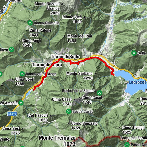
Alzer0.2 kmPieve di Ledro (660 m)0.6 kmBezzecca (697 m)2.0 kmChiesa di Santa Lucia3.2 kmVia de là4.4 kmTiarno di Sotto4.8 kmAlla Costa (730 m)5.0 kmTiarno di Sopra6.3 km
- Best season
-
JanFebMarAprMayJunJulAugSepOctNovDec
- Description
-
By bicycle in a pre-Alpine valley of glacial origin, with a lake providing your reflection.
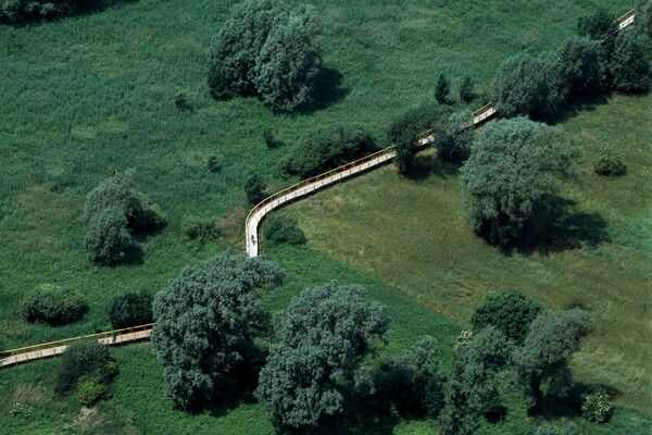
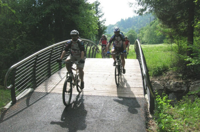
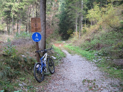
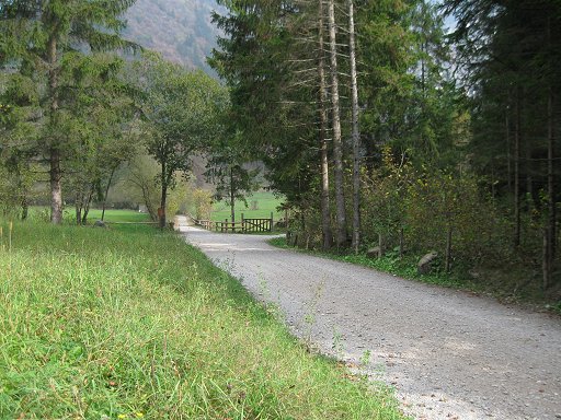
The Ledro cycling-hiking path covers a distance of about 9 kilometres. A mountain bike is the best way of covering the distance, as the trail crosses a few dirt road sections. However, a road bike will suffice as long as you are careful.
- Directions
-
The cycling path starts in Molina di Ledro and enters Valle di Concei, which can be reached by moving from the town of Bezzecca in a northerly direction, gently climbing the slope, carved by the waters of the Assat river. The cycling lane winds its way along secondary roads with limited traffic, alternated with several sections on designated cycling paths. The best seasons for this route are spring and autumn. It is worth visiting Molina di Ledro and its Museo delle Palafitte, because it provides an interesting look at Prehistory in Trentino.
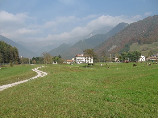
The Ledro section connects the town of Molina di Ledro with the small Lago d’Ampola. Overall, there are no particularly challenging climbs or hills, and this makes it suitable for everyone, even children. From Molina di Ledro, where you can park your car near the Museo delle Palafitte, you follow the cycling path to Bezzecca. From here, you can choose whether to deviate along Val di Concei, or to continue along the cycling lane of Val di Ledro, passing the hamlets of Tiarno di Sotto and Tiarno di Sopra. Experiencing some of the quiet and amenity of these places, you finally come to the vicinity of Lago d'Ampola, current biotope and final destination of the track: designated jetties, observation points and information boards guide the visitor in these peculiar natural surroundings, allowing you to understand its specific and extraordinary nature. The cycling lane ends right near the walkway, located on the river that runs into the lake, beyond which you enter the biotope, where you follow the dirt track.
- Highest point
- 757 m
- Endpoint
-
Lago d'Ampola
- Height profile
-
 © outdooractive.com
 - Safety instructions
-
Please note that the practicability of the itineraries in a mountain environment is strictly linked to the contingent conditions and is therefore influenced by natural phenomena, environmental changes and weather conditions. For this reason, the information contained in this page may have changed. Before leaving for a tour, make sure the path you will approach is still accessible by contacting the owner of the mountain hut, the alpine guides or the visitor centres of the nature parks, the info offices of the local tourist board.
- Directions
-
Valle di Ledro can be reached from the south and from the north along National road SS 12 del Brennero or motorway A22 (exit at Rovereto Sud/Lago di Garda Nord), and continuing along National road SS 240 in the direction of Riva del Garda and Storo.
The valley can be reached from Riva del Garda, also following the Ponale trail, which 500 thousand hikers follow each year, attracted by its extraordinarily spectacular nature. Its winding route carved out of the rock face climbs the steep mountain side, affording breathtaking views over the entire Lake Garda.
- Author
-
The tour Val di Ledro bike path is used by outdooractive.com provided.