- Brief description
-
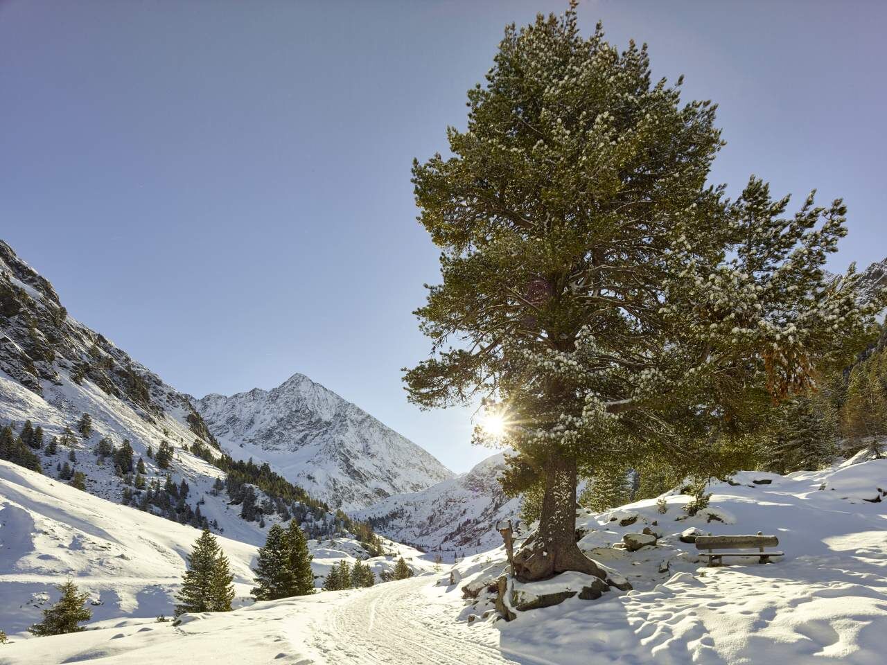
From the Sulztalalm you are in open terrain. Note the avalanche situation!!
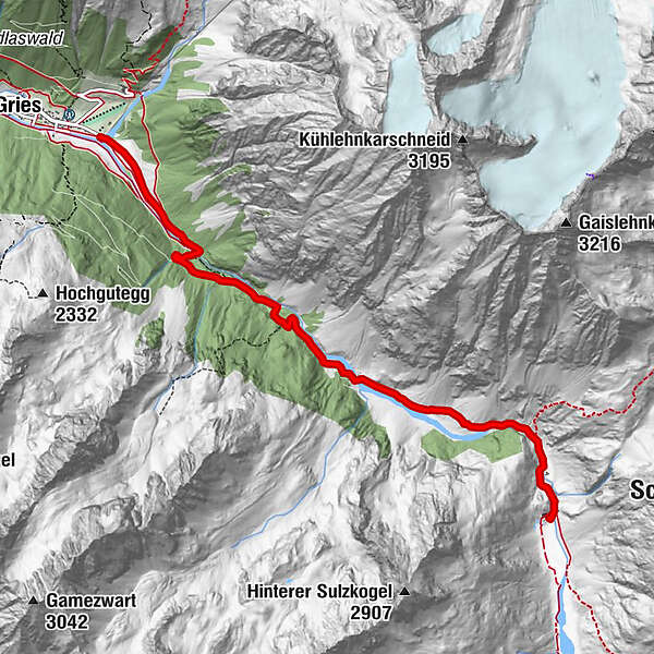
GRIES -> Vögelasbrücke -> Abzweigung Nisslam -> Sulztalalm -> AMBERGER HÜTTE
- Difficulty
-
medium
- Rating
-
- Starting point
-
Gries
- Route
-
Sulztalalm (1,915 m)3.6 kmAmberger Hütte (2,135 m)5.8 km
- Best season
-
AugSepOctNovDecJanFebMarAprMayJunJul
- Description
-
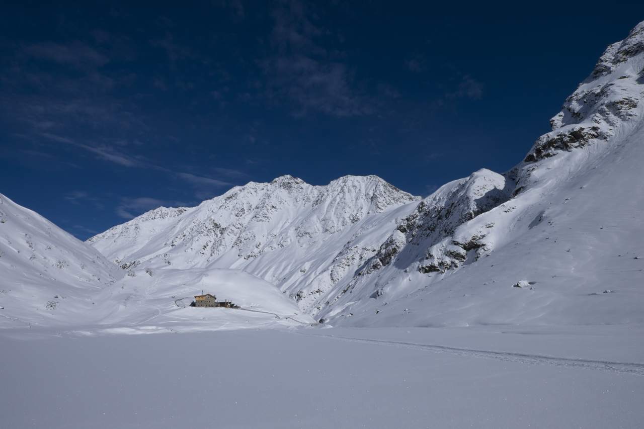
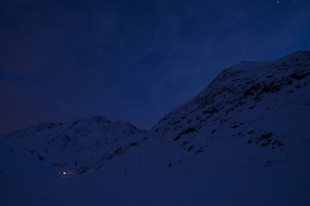
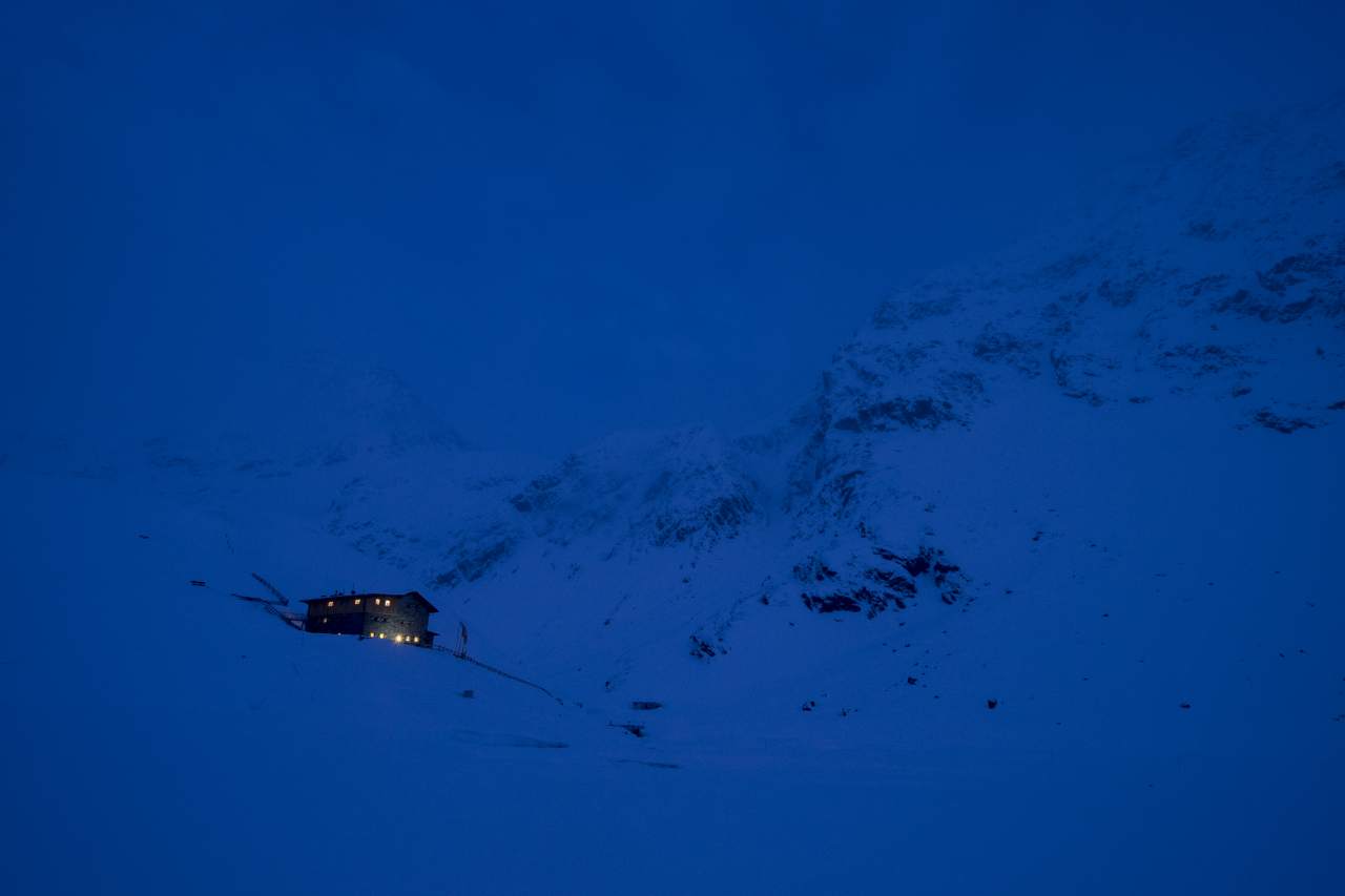
A popular destination for hiking and snowshoeing is the family-friendly Amberger Hütte (2,135 m), which is also the starting point for many ski tours. From the south-facing, sunny terrace of the massive natural stone building from 1888 you can see the gleaming Sulztalferner, which is flanked by mighty mountain peaks like the Schrankogel or Wilde Leck. The ascent to the Amberger Hütte runs steadily uphill on a wide road along the Fischbach, which shows you the way until just before the hut. If you want to take a short break in between, you can do so halfway in the Sulztalalm.
- Directions
-
From the parking lot at the end of Gries follow the path to the Sulztal. From the crossing of the Vögelasbrücke the slope increases noticeably. After a few hairpin bends you pass the mark Nisslam. Here you keep straight and follow the valley deeper into it. After about 1 hour walk you reach the Sulztalalm and thus has already coped half the way. The further way runs pleasantly uphill to the last piece which has a noticeable slope.
- Highest point
- 2,130 m
- Endpoint
-
Amberger Hütte
- Height profile
-

- Equipment
-
Appropriate equipment such as breathable suitable outdoor clothes for the weather, is for all hikes and tours necessary.
- Safety instructions
-
Please pay attention to the current weather- & avalanche report: https://www.oetztal.com/de/ & https://lawinen.report/bulletin/latest
The Ötztal Tourismus team will be happy to inform you personally about the nature of the winter hiking trails.
Oetztal tourism T +43 5 72 00 300 - info@laengenfeld.com
- Tips
-
On the way back you can borrow a toboggan from the Sulztalalm and sledding into the valley.
- Additional information
-
Open alpine terrain - note the avalanche situation report.
More details about winter hiking in Ötztal:
https://www.oetztal.com/winter-hiking
- Arrival
-
The car drive to the Ötztal valley. Situated in Tirol, the Ötztal valley set off in southerly direction and is the
longest side valley in the Eastern Alps. The journey with the car leads you through the Inntal valley to the
entrance of the valley and further on through the valley. Among the toll motorways you can also use the country
roads. A route planner will show you the easiest and most convenient way: https://www.google.at/maps
- Public transportation
-
Travel safe and comfortable with the train to the Ötztal Bahnhof train station. Last stop and exit point is the
train station Ötztal Bahnhof. Afterwards you can travel smoothly and quick with the public transport or our local
taxi companies through the valley to your desired destination. Please find the current bus timetable here:
http://fahrplan.vvt.at
- Parking
-
The following parking facilities are available:
Gries at the end of the village - chargeable
- Author
-
The tour Amberger Hütte - Längenfeld/Gries 253 is used by outdooractive.com provided.