


- Brief description
-
Around Ochsengarten
- Difficulty
-
easy
- Rating
-
- Starting point
-
cable car station of Ochsengarten
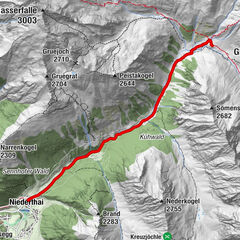
- Route
-
Ochsengarten (1,538 m)0.2 kmOchsengarten (1,538 m)5.5 km
- Best season
-
AugSepOctNovDecJanFebMarAprMayJunJul
- Description
-
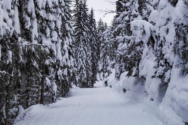
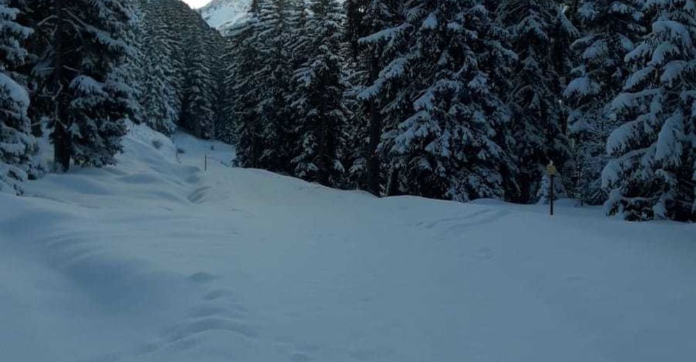
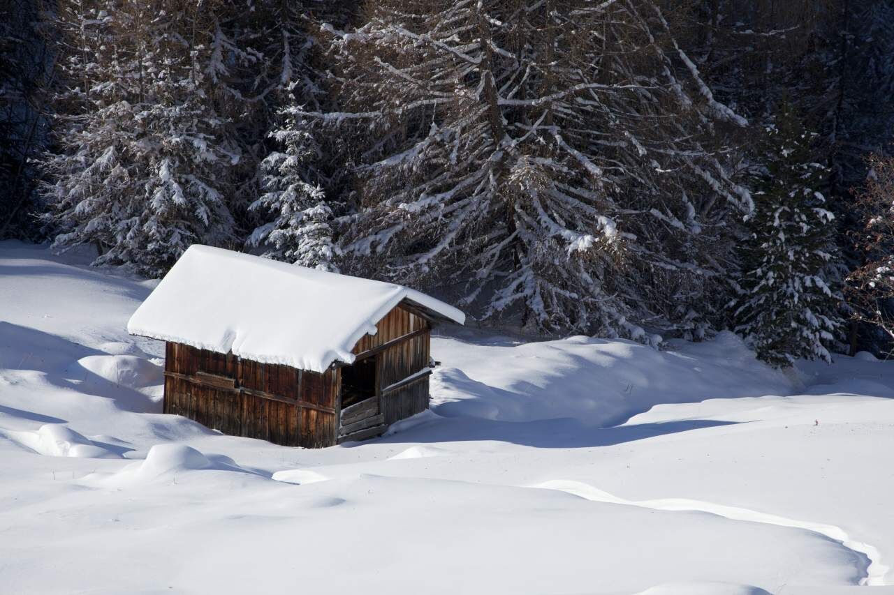
Walk across the bridge and follow the brook towards Kühtai amid picture-bookwinter landscapes. Cross Nederbach brook and the federal road at the heightof „Stopfer Bridge“. Return to Ochsengarten on the sunny side of the valley.
- Directions
-
Walk across the bridge and follow the brook towards Kühtai amid picture-bookwinter landscapes. Cross Nederbach brook and the federal road at the heightof „Stopfer Bridge“. Return to Ochsengarten on the sunny side of the valley.
- Highest point
- 1,600 m
- Endpoint
-
cable car station of Ochsengarten
- Height profile
-

- Equipment
-
Appropriate equipment such as breathable suitable outdoor clothes for the weather, wind-, rain-, snow- and sun protection, hat and gloves is for all hikes and tours necessary. Please bring a first-aid box, a mobile phone, a walking map and if there is no hut on the way a snack and enough to drink.
- Safety instructions
-
Please pay attention to the current weather- & avalanche report: www.oetztal.com/de/winter.html & avalanche-report/albina-web/bulletin/...
- Tips
-
Guided snow schoe hiking tours on this trak at night. www.naturpark-oetztal.at
- Additional information
- Directions
-
The car drive to the Ötztal valley. Situated in Tirol, the Ötztal valley set off in southerly direction and is the longest side valley in the Eastern Alps. The journey with the car leads you through the Inntal valley to the entrance of the valley and further on through the valley. Among the toll motorways you can also use the country roads. A route planner will show you the easiest and most convenient way: www.google.at/maps
- Public transportation
- Parking
-
The following parking facilities are available in Ochsengarten:
- Ochsengarten Large public parking - opposite, or next to the valley station Ochsengartenbahn
- Ochsengarten in the center vis á vis from the Ötztal tourist information office
- Ochsengarten at the end of the village, in the direction of Kühtai, at the school


- Author
-
The tour Ochsengarten's Roundway is used by outdooractive.com provided.


General info
-
Mieminger Plateau & Inntal
148
-
Silz
30