Tour data
6.04km
766
- 878m
104hm
72hm
02:30h
- Difficulty
-
easy
- Rating
-
- Starting point
-
centre of Waidring
- Route
-
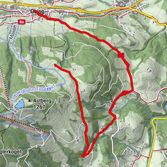
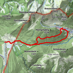
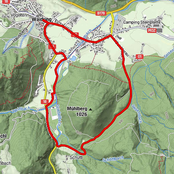
Waidring0.0 kmGasthof zur Post0.0 kmSchefferaukapelle1.8 kmHeiliger Vitus und Nikolaus5.5 kmSchneidermann5.6 kmGasthof zur Post6.0 kmWaidring6.0 km
- Best season
-
AugSepOctNovDecJanFebMarAprMayJunJul
- Description
-
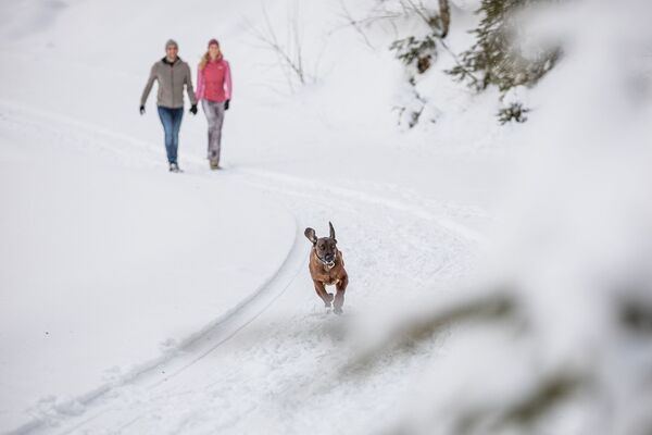
From the village center towards the hamlet Unterwasser, walk along the path Schäferauweg towards the chapel and continue uphill to "Elfenwiese" meadow. Via the path Schöttlweg to the main road Pillersee Landesstraße. Turn right and walk along the road until you reach the public parking Weißbach. Here you turn right, walk along the river, pass the tennis court an retourn to the center.
- Highest point
- 878 m
- Endpoint
-
centre of Waidring
- Rest/Retreat
-
Am Endpunkt im Dorfzentrum
- Ticket material
-
Hiking map are available in all touristoffice´s of the PillerseeTal
- Parking
-
Car park in the centre of Waidring
- Info phone
-
0043.5354.56304
- Link
- https://maps.pillerseetal.at/v2/de/gdi_summer/2...
- Source
- TVB PillerseeTal
GPS Downloads


Other tours in the regions
-
Pillerseetal
185
-
Waidring
37