
- Brief description
-
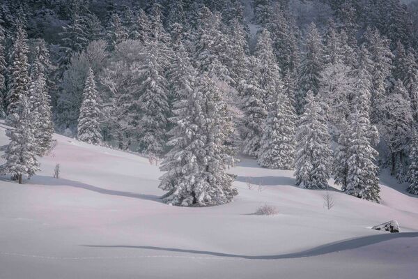
Beautiful hike with a view to the icy ravine of the Glemmbach.
- Difficulty
-
medium
- Rating
-
- Starting point
-
Village center Hinterthiersee
- Route
-
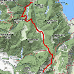
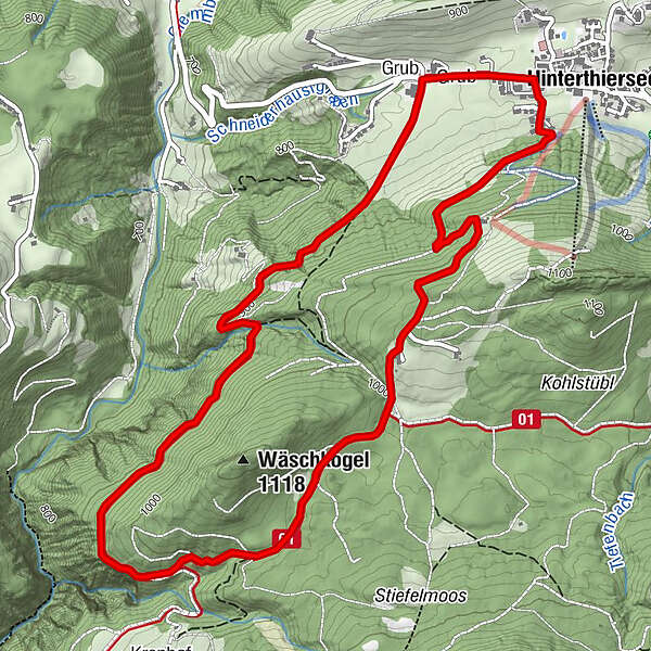
HinterthierseeGrub0.3 kmWieshof5.5 kmHinterthiersee6.7 km
- Best season
-
AugSepOctNovDecJanFebMarAprMayJunJul
- Description
-
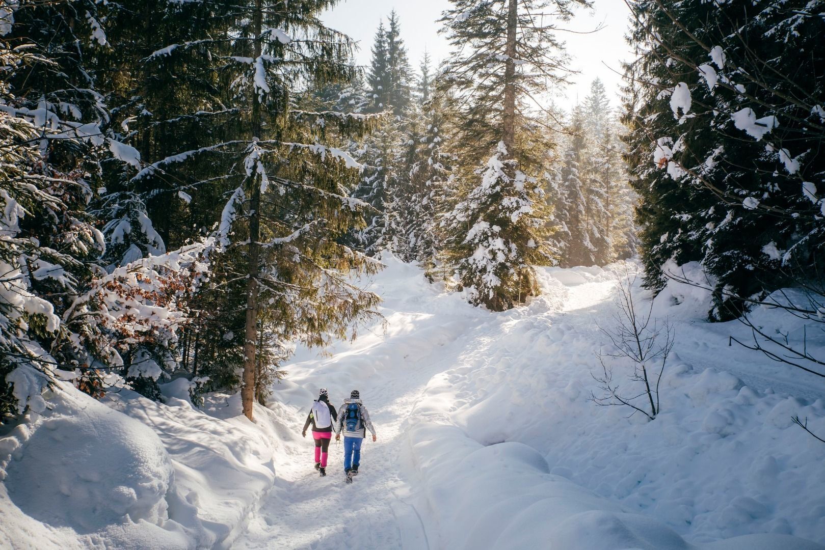
Beginning at the village center in the direction to Landl until you reach the farm "Schiestlhof". Afterwards turn left to the winter waling path leading to the Kranhof. There you can enjoy a beautiful view at the Glemmbachklamm. After about 3 km (at the gorge) a branch leads you left uphill to the Modal farms. Further passing the alpine snack station Wieshof and back to Hinterthiersee. HINT: Sled rent at Wieshof, take the 1km long sled run back to your starting point.
- Highest point
- 1,034 m
- Endpoint
-
Village center Hinterthiersee
- Height profile
-

- Equipment
-
Sturdy footwear with a good profile,
Clothing adapted to winter temperatures (warm, breathable, etc.),
Food and drink,
First aid equipment,
Mobile phone with full battery,
Hiking map and guide literature,
Sun protection (sunglasses, sunscreen and cap),
Telescopic poles,
Shoe spikes for walking on ice or snow - Directions
-
From the Inntal motorway A12 take the exit Kufstein Nord and follow the signs to Thiersee/Hinterthiersee.
- Public transportation
-
Take bus line 4046 to the bus stop "Hinterthiersee Dorf". With the KufsteinerlandCard within the region bus free of charge.
- Parking
-
Primary schools Hinterthiersee, free of charge.

- Author
-
The tour Wäschkogel Circuit is used by outdooractive.com provided.


-
Wildschönau
143
-
Thierseetal
47