
- Brief description
-
A gentle walk to ancient farmsteads with a refreshment stop in a welcoming inn.
- Difficulty
-
easy
- Rating
-
- Starting point
-
Hiking starting point Tourist Info, Scheffau (738 m)
- Route
-
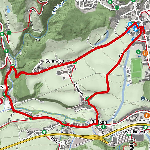
Pfarrkirche Scheffau0.1 kmSonnwies0.8 kmWurzach (661 m)1.6 kmBlaiken2.6 kmPfarrkirche Scheffau3.7 kmScheffau am Wilden Kaiser3.7 km
- Best season
-
AugSepOctNovDecJanFebMarAprMayJunJul
- Description
-
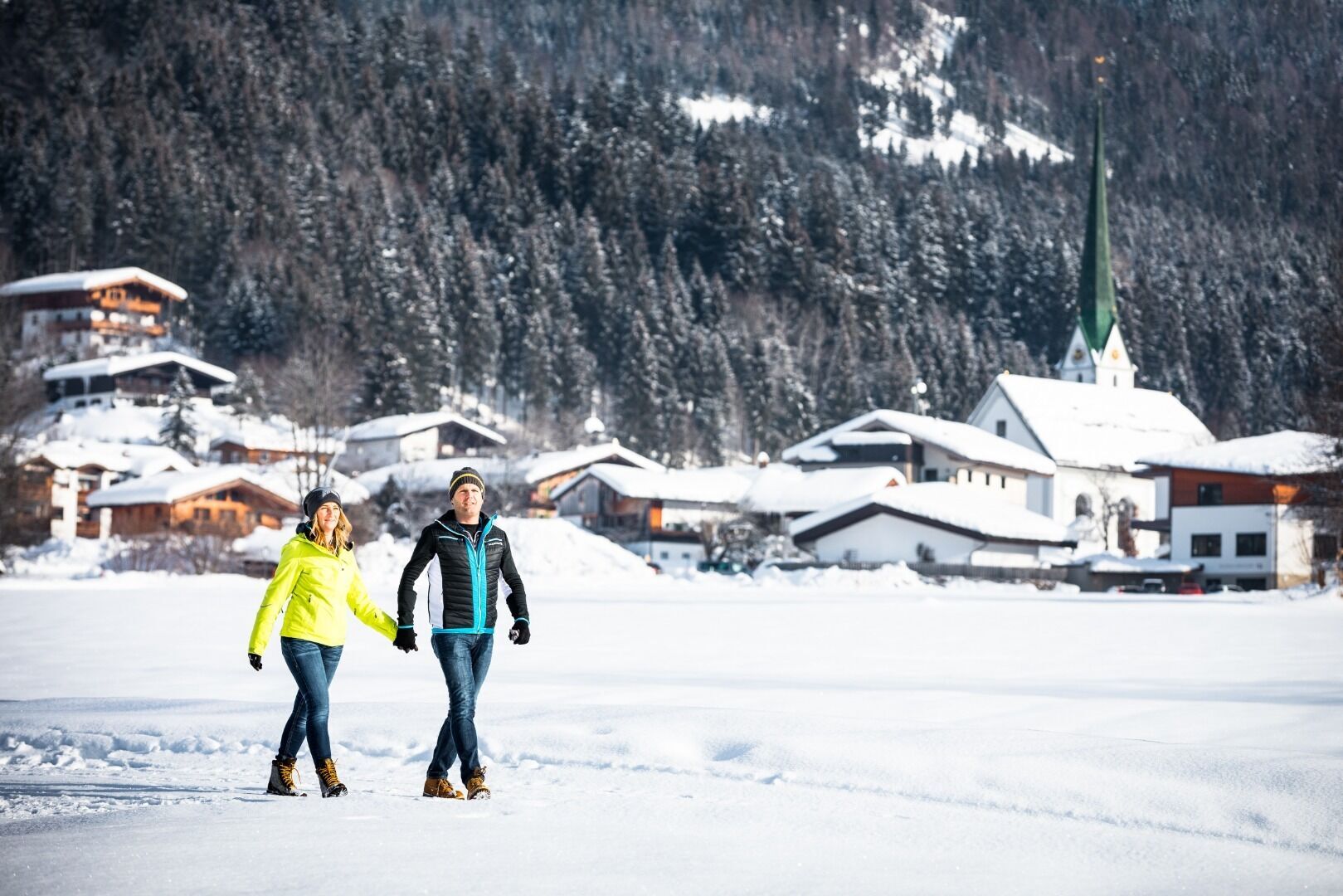
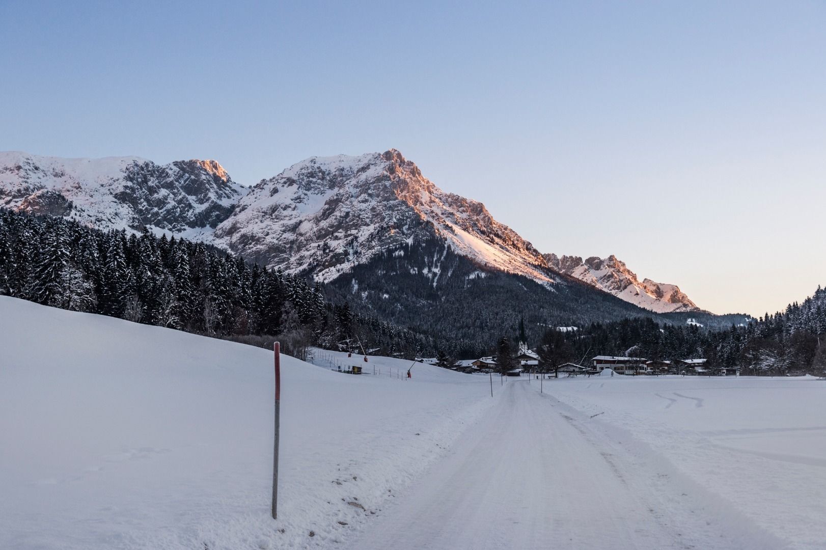
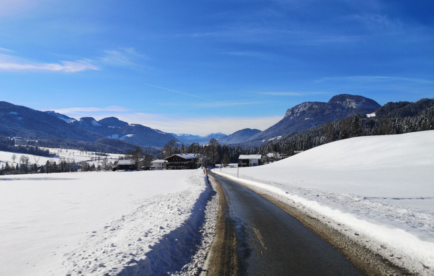
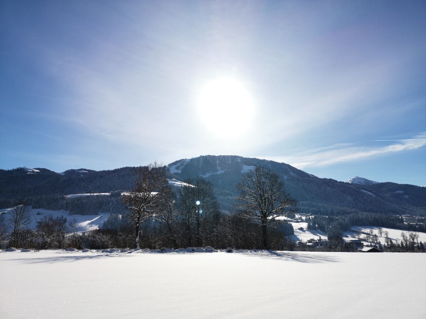
After visiting the Scheffau parish church walk along the path no. 56 on the sunny side of Scheffau in the direction of Söll. Along the way, you can take a close look at a number of traditional farms. After a short walk down through the forest, you turn left and will pass the district of Wurzach and Blaiken back to Scheffau. Turn left at the Pension Blaiken guesthouse and take the quiet side street back past the beautiful farmhouses, including the Wiesenhof, which is known for its traditional Tirolean cuisine. During the hike, you can enjoy close-up views of the snowy Wilder Kaiser on one side and the Brandstadl skiing mountain on the other.
- Directions
-
After visiting the Scheffau Parish Church – the patrons of which, John the Baptist and John the Evangelist, can be found on its main altar – walk along the Sonnwiesweg trail on the sunny side of Scheffau in the direction of Café Rosemarie. Along the way, you can watch skiers on the practice slopes in the distance and take a close look at a number of traditional farms. Turn left at the Pension Blaiken guesthouse and take a quiet side street back past the beautiful farmhouses, including the Wiesenhof, which is known for its traditional Tirolean cuisine. During the hike, you can enjoy close-up views of the snowy Wilder Kaiser on one side and the Brandstadl skiing mountain on the other.
- Highest point
- 739 m
- Endpoint
-
Hiking starting point Tourist Info, Scheffau (738 m)
- Height profile
-

- Equipment
-
Rucksack, sturdy hiking shoes, weather-appropriate hiking gear, sun protection, waterproofs, snack and drink, hiking poles (height adjustable) if required, mobile phone, plastic bag for waste, hiking map, route description and information materials (GPX track), ID, cash
- Directions
-
Heading from Wörgl, Kufstein or St. Johann on the B178 road, take the exit to Scheffau. Shortly before you come to the church, you will see the Tourist Info and the hiking starting point on the left-hand side (short-stay parking zone).
- Public transportation
- Parking
-
Public car park, Scheffau (740 m), north of the Community Hall - free

- Author
-
The tour Blaiken circular walk is used by outdooractive.com provided.