
- Brief description
-
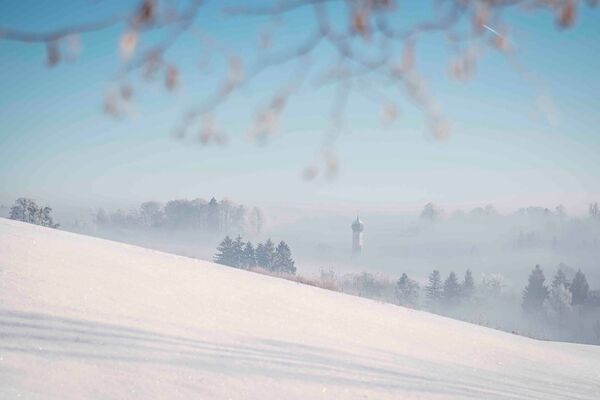
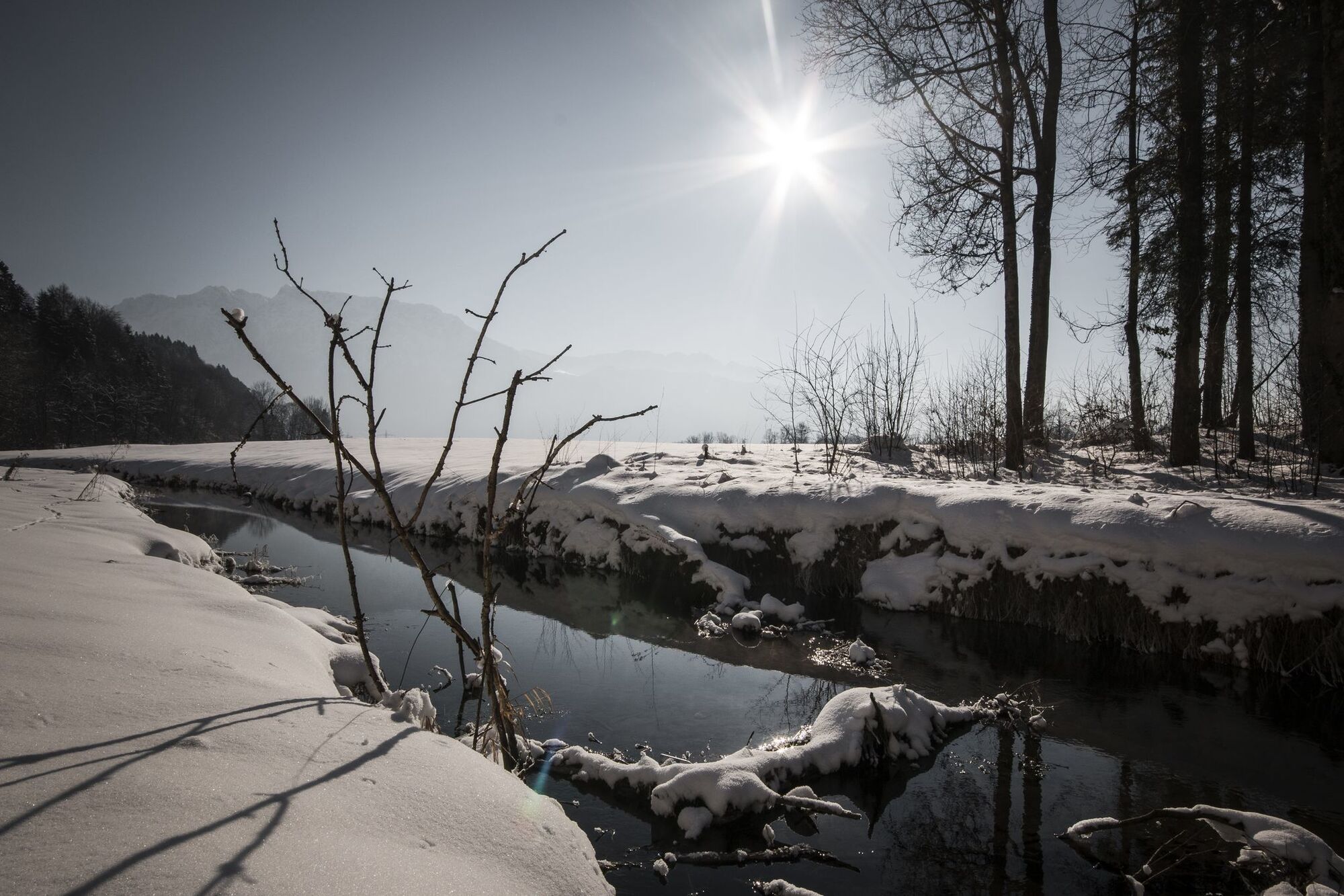
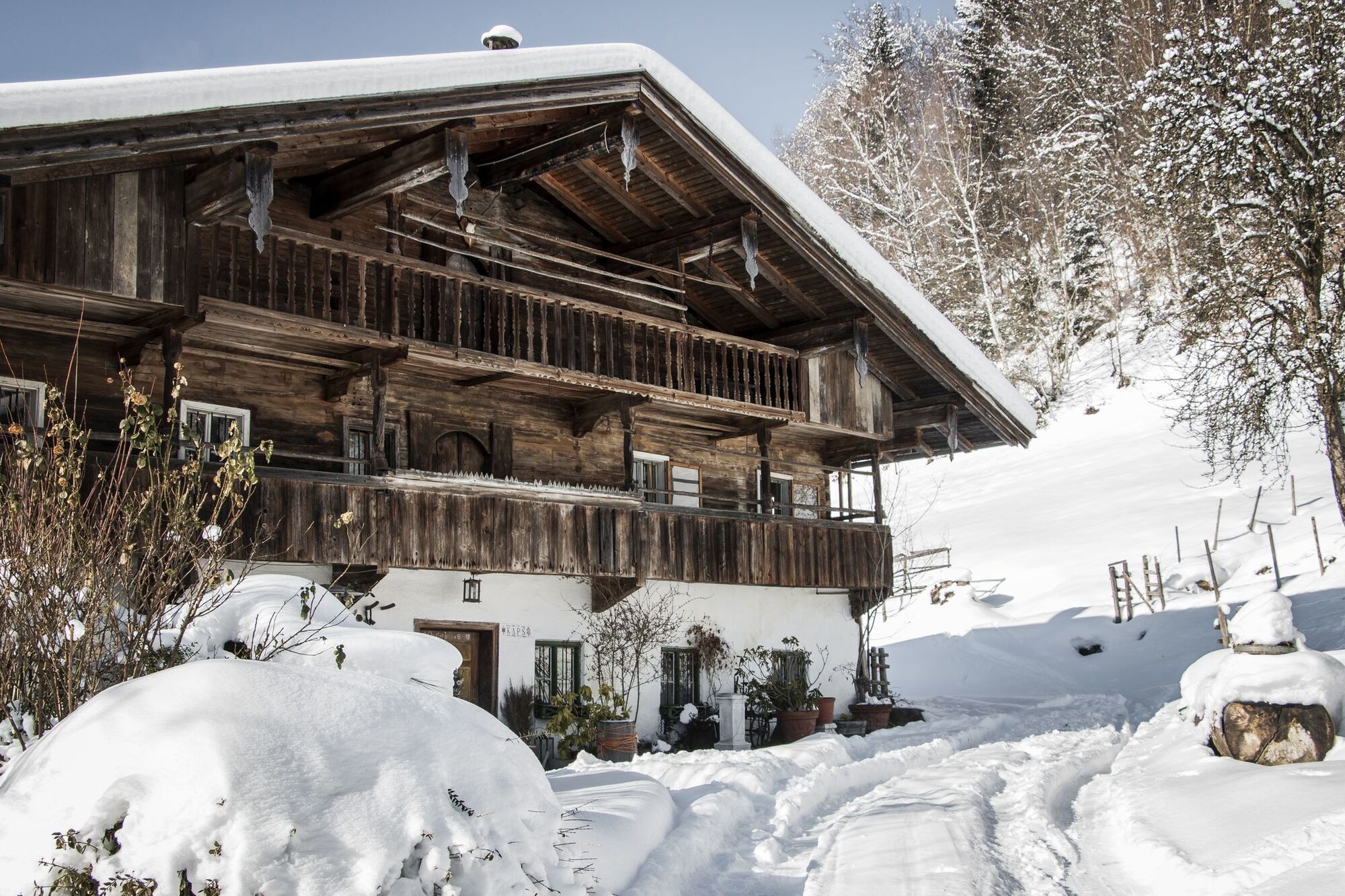
The Jennbach divides the towns of Ebbs and Niederndorf with its crystal clear water and finally flows into the border river Inn. In winter it has its own special charm and is definitely worth a walk.
- Difficulty
-
easy
- Rating
-
- Starting point
-
Niederndorf Centre
- Route
-
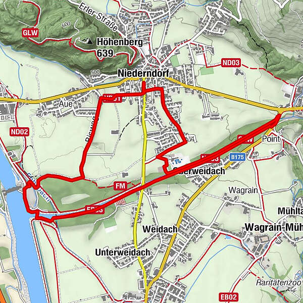
Gasthof Metzgerwirt0.1 kmOberweidach3.5 kmPoint4.1 kmGasthof Kuhstall6.4 kmGasthof Metzgerwirt6.7 kmNiederndorf6.8 km
- Best season
-
AugSepOctNovDecJanFebMarAprMayJunJul
- Description
-
Starting in the centre of Niederndorf, this circular trail leads through southern Niederndorf and along the Jennbach. At the fish ladder you cross the Jennbach over the bridge and take a leisurely walk on the other side along the stream towards Sebi. At the junction of the path with the B175 you turn back and walk on the other side of the brook back to Niederndorf to take the path back to the centre of the village at the level of the swimming pool. Afterwards, Niederndorf's restaurants and cafés invite you to enjoy refreshments.
- Highest point
- 507 m
- Endpoint
-
Niederndorf Centre
- Height profile
-

- Equipment
-
Sturdy footwear with a good profile,
Clothing adapted to winter temperatures (warm, breathable, etc.),
Food and drink,
First aid equipment,
Mobile phone with full battery,
Hiking map and guide literature,
Sun protection (sunglasses, sunscreen and cap),
Telescopic poles,
Shoe spikes for walking on ice or snow - Directions
-
Via the A12, exit Oberaudorf/ Ebbs in the direction of Ebbs to the centre of Niederndorf.
- Public transportation
-
Take the regional bus lines 4030 or 4036 and get off at the Niederndorf Post Office stop. With the KufsteinerlandCard within the region bus free of charge.
- Parking
-
Underground car park of the municipality, free of charge.
- Author
-
The tour Winter walk along the Jennbach is used by outdooractive.com provided.


-
Kufsteinerland
191
-
Niederndorf
40