
- Brief description
-
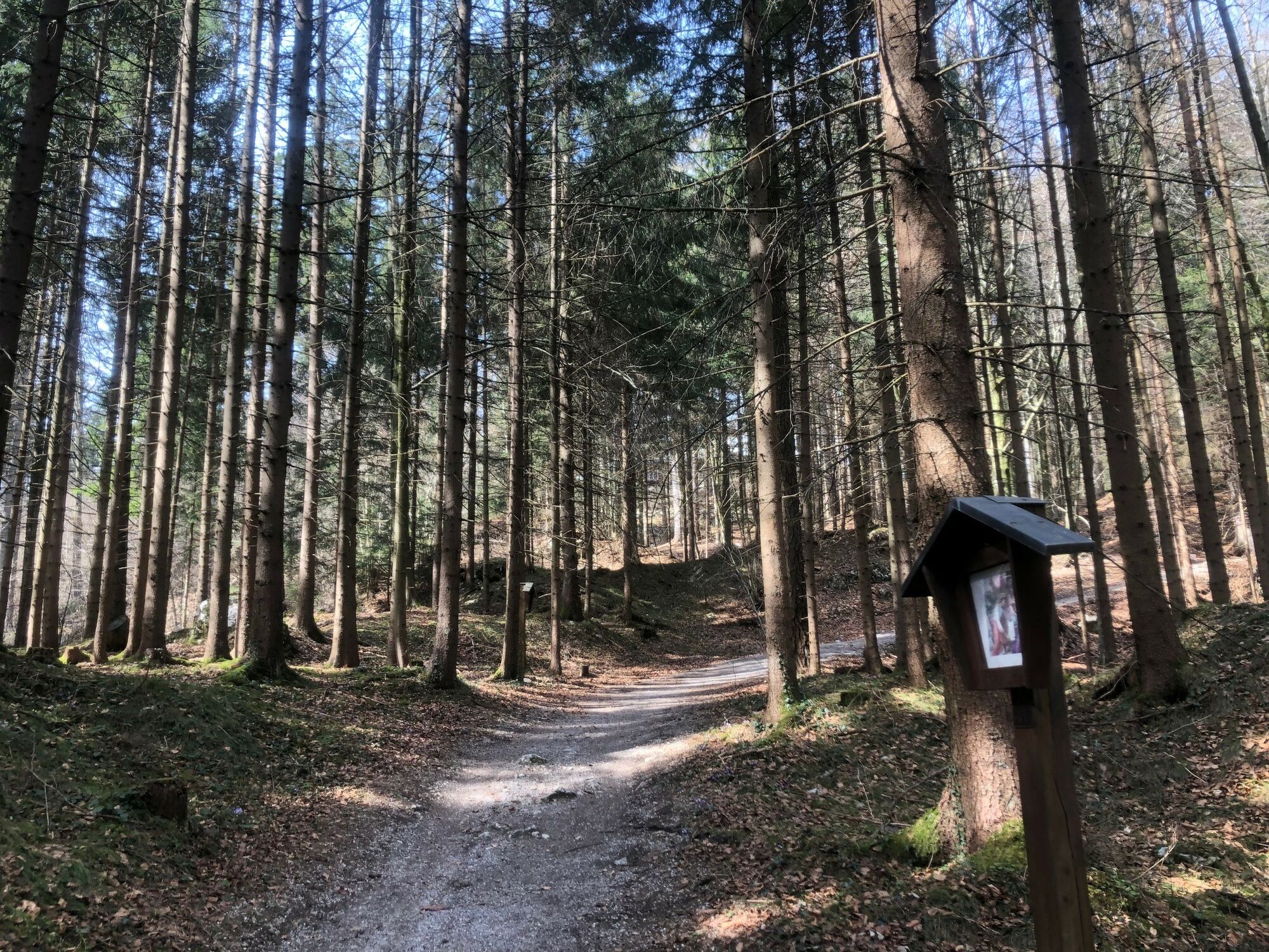
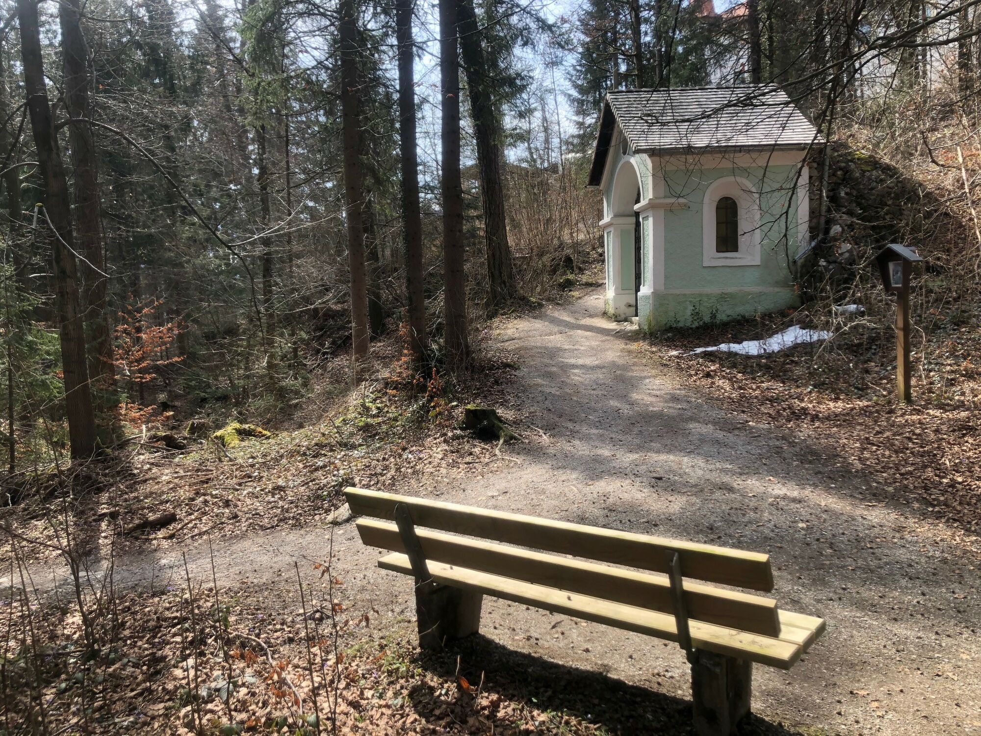
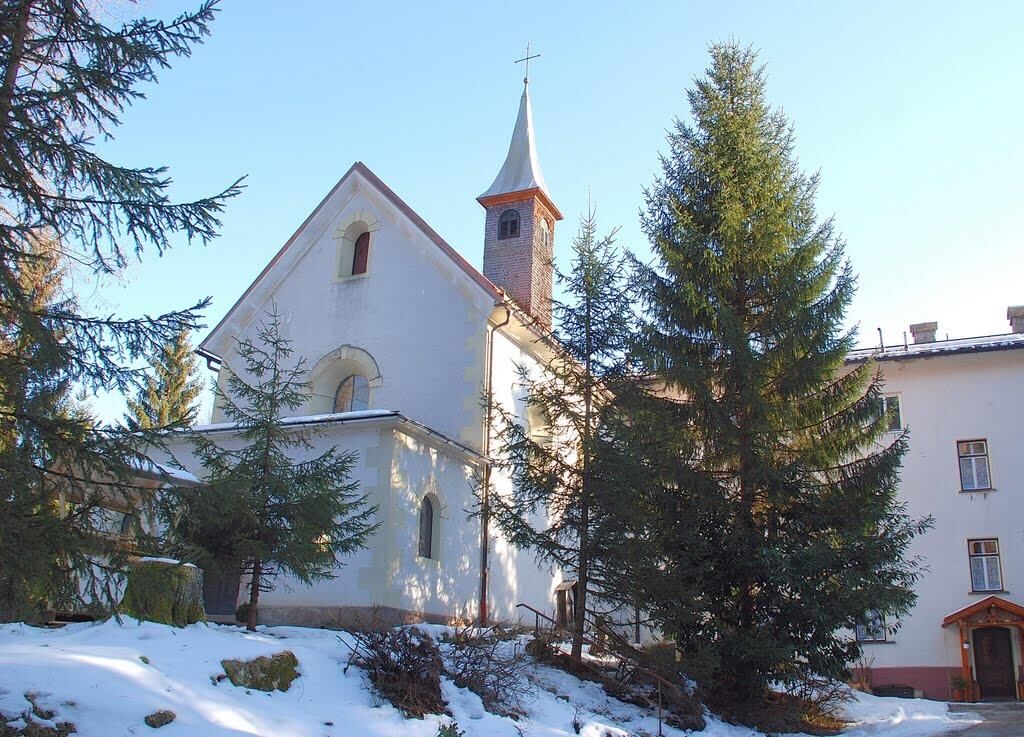
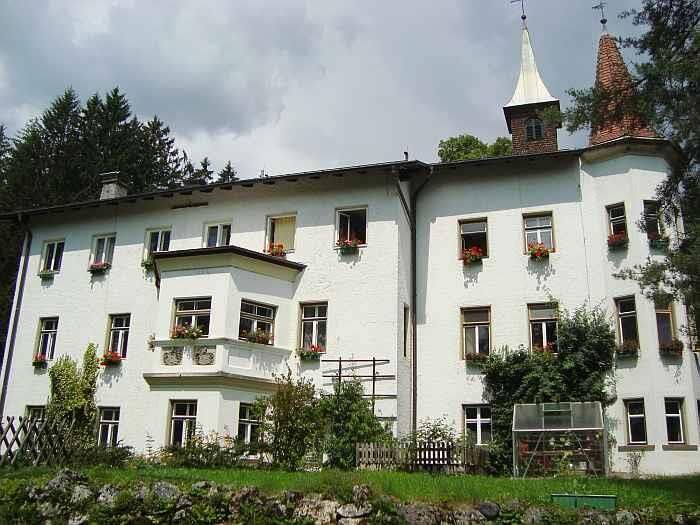
Pleasant hiking path through woods to a small monastery.
- Difficulty
-
easy
- Rating
-
- Starting point
-
Kramsach High Ropes Course car park
- Route
-
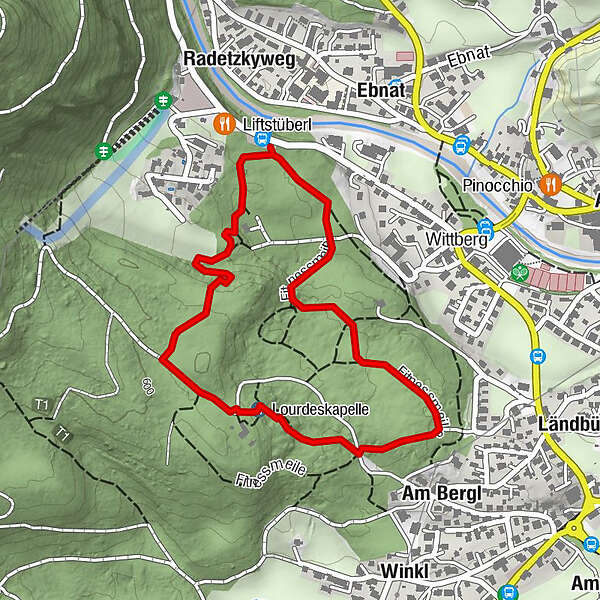
RadetzkywegAm Bergl0.8 kmLourdeskapelle1.3 kmKloster Hilariberg (586 m)1.4 km
- Best season
-
JanFebMarAprMayJunJulAugSepOctNovDec
- Description
-
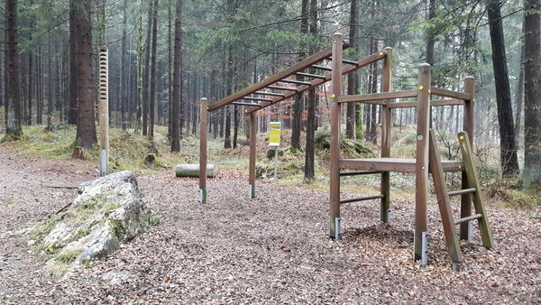
Start from the Kramsach lift (defunct chairlift) car park south of the Liftstüberl. The fitness mile with great exercising stations starts from this point. Passing the high ropes course continue along the path through the woods up to the Hilaribergl monastery. Return taking the tarred road to “Winkl” and walk along the edge of the woods back to the lift car park.
- Directions
-
Start from the Kramsach lift (defunct chairlift) car park south of the Liftstüberl. The fitness mile with great exercising stations starts from this point. Passing the high ropes course continue along the path through the woods up to the Hilaribergl monastery. Return taking the tarred road to “Winkl” and walk along the edge of the woods back to the lift car park.
- Highest point
- 594 m
- Endpoint
-
Kramsach High Ropes Course car park
- Height profile
-

- Equipment
-
sturdy footwear
- Tips
-
Do the exercises along the fitness mile.
The Way of the Cross leads to the Lourdes Chapel.
Visit the Hilariberg Monastery
Stop for something to eat and drink at the Liftstüberl at the end of the walk
This hike is also suitable in winter - cleared winter hiking trail - Directions
-
A12, motorway exit Kramsach, towards Kramsach, Sonnwendjochbergbahn (defunct chairlift)
- Public transportation
- Parking
-
Hochseilgarten (high ropes course) car park
- Author
-
The tour Forest Walk Hilaribergl Monastery is used by outdooractive.com provided.


General info
-
Alpbachtal
1477
-
Kramsach
445