
- Brief description
-
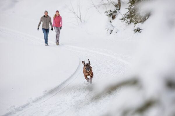
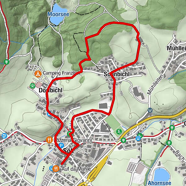
Historical route pleasant to walk for everyone.
- Difficulty
-
easy
- Rating
-
- Starting point
-
Hiking starting point Tourist Info, Söll (689 m)
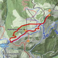
- Route
-
Söll0.1 kmDorfbichl0.6 kmSonnbichl2.0 km
- Best season
-
AugSepOctNovDecJanFebMarAprMayJunJul
- Description
-
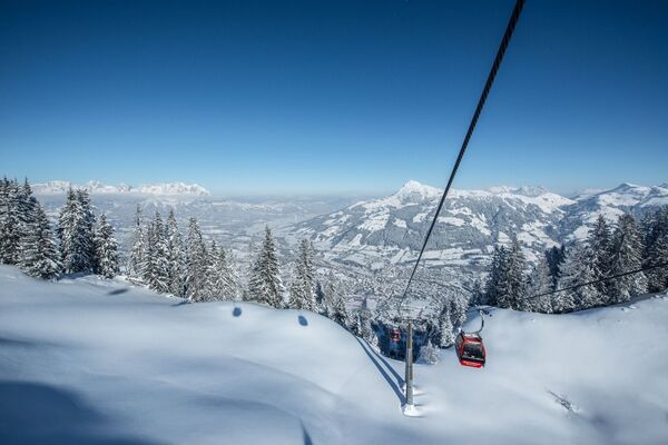
This hike begins at the hiking starting point at Söll Tourist Info. From here, follow the signposts towards the Franzlhof leisure centre and continue to the war memorial. Once past the memorial, stay in the Schnapflwald forest, which will take you onwards and down the hill via the path to the village. Turn right at the Volksschule school, then continue along the Hausbach stream to the Elektro Salvenmoser store. Turn right at Café Mirabell to reach the starting point.
- Highest point
- 729 m
- Endpoint
-
Hiking starting point Tourist Info, Söll (689 m)
- Height profile
-

- Equipment
-
Sturdy mountaineering boots with anti-slip treaded soles (waterproof), weather-appropriate outdoor gear (breathable) incl. a change of clothes, sun protection (sunglasses, sun cream, lip protection, headgear), waterproofs (rain jacket/poncho, pocket umbrella, rucksack protector), cold protection (hat, gloves), mobile phone with fully charged battery, plastic bag for waste, hiking map, route description and information materials (GPX track), ID card, insurance card, cash
- Directions
-
Heading from Wörgl, Kufstein or St. Johann on the B178 road, take the exit to Söll and then take the exit to Söll centre (“Söll, Zentrum”) at the roundabout. Turn left immediately afterwards and follow the road. Then turn right at the next intersection (opposite SPAR supermarket). West Pölven public car park is located to the east of the supermarket car park. The Tourist Info is in the pedestrianised zone.
- Public transportation
-
KaiserJet/Postbus stop “Söll Dorf”. More information at: www.wilderkaiser.info
- Parking
-
West Pölven public car park, Söll (689 m) – free

- Author
-
The tour Sonnbichl winter circular route is used by outdooractive.com provided.
General info
-
Region Hohe Salve
175
-
Söll
69