

- Brief description
-
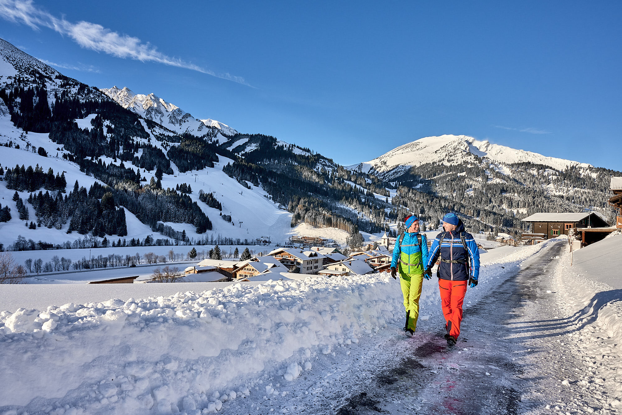
Very beautiful and quiet winter hike from Zöblen via Tannheim and back
- Difficulty
-
easy
- Rating
-
- Starting point
-
Parking lot west in Zöblen
- Route
-
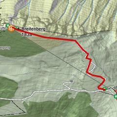
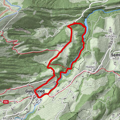
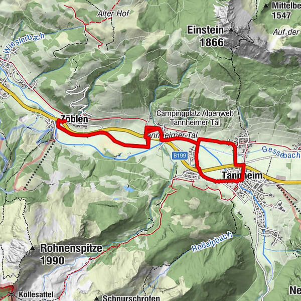
Zöblen (1,087 m)Untergschwend2.3 kmSt. Leonhard3.3 kmBerg4.1 kmTannheim (1,097 m)4.7 kmNeu Kienzen5.6 kmKapelle5.7 kmKienzen5.8 kmUntergschwend7.0 kmZöblen (1,087 m)9.4 km
- Best season
-
AugSepOctNovDecJanFebMarAprMayJunJul
- Description
-
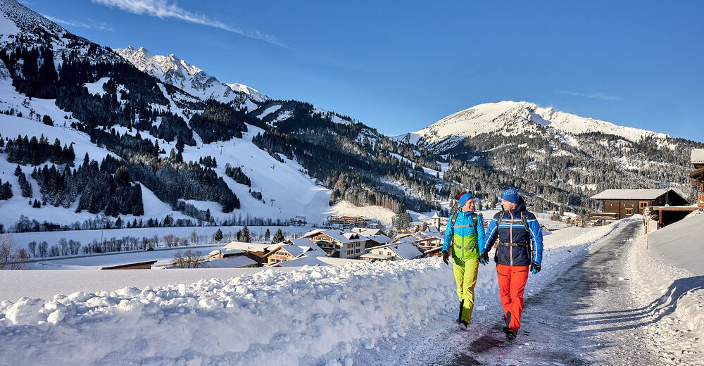
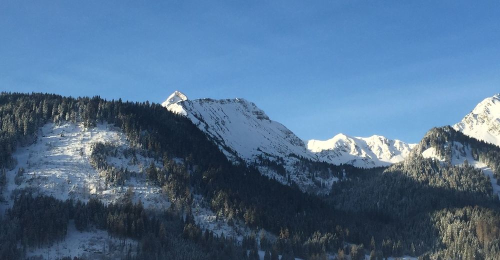
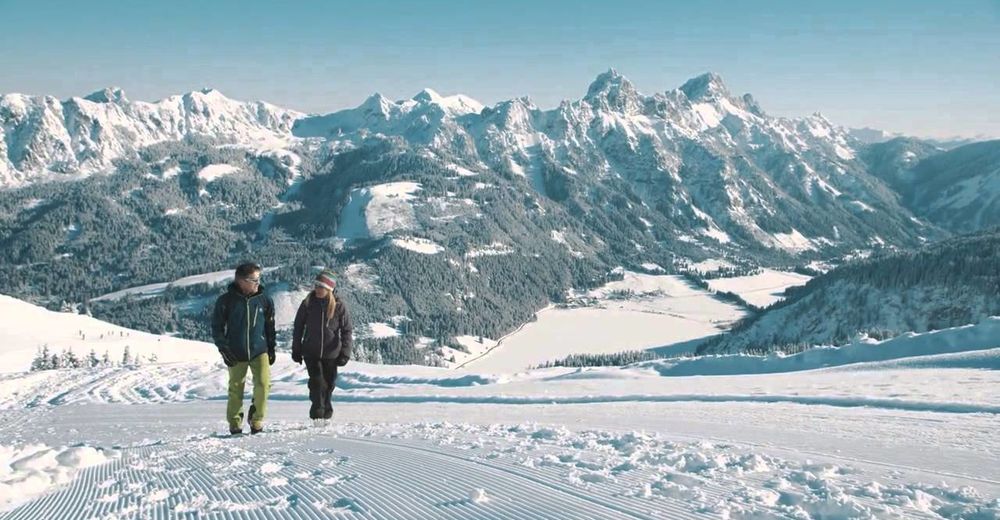
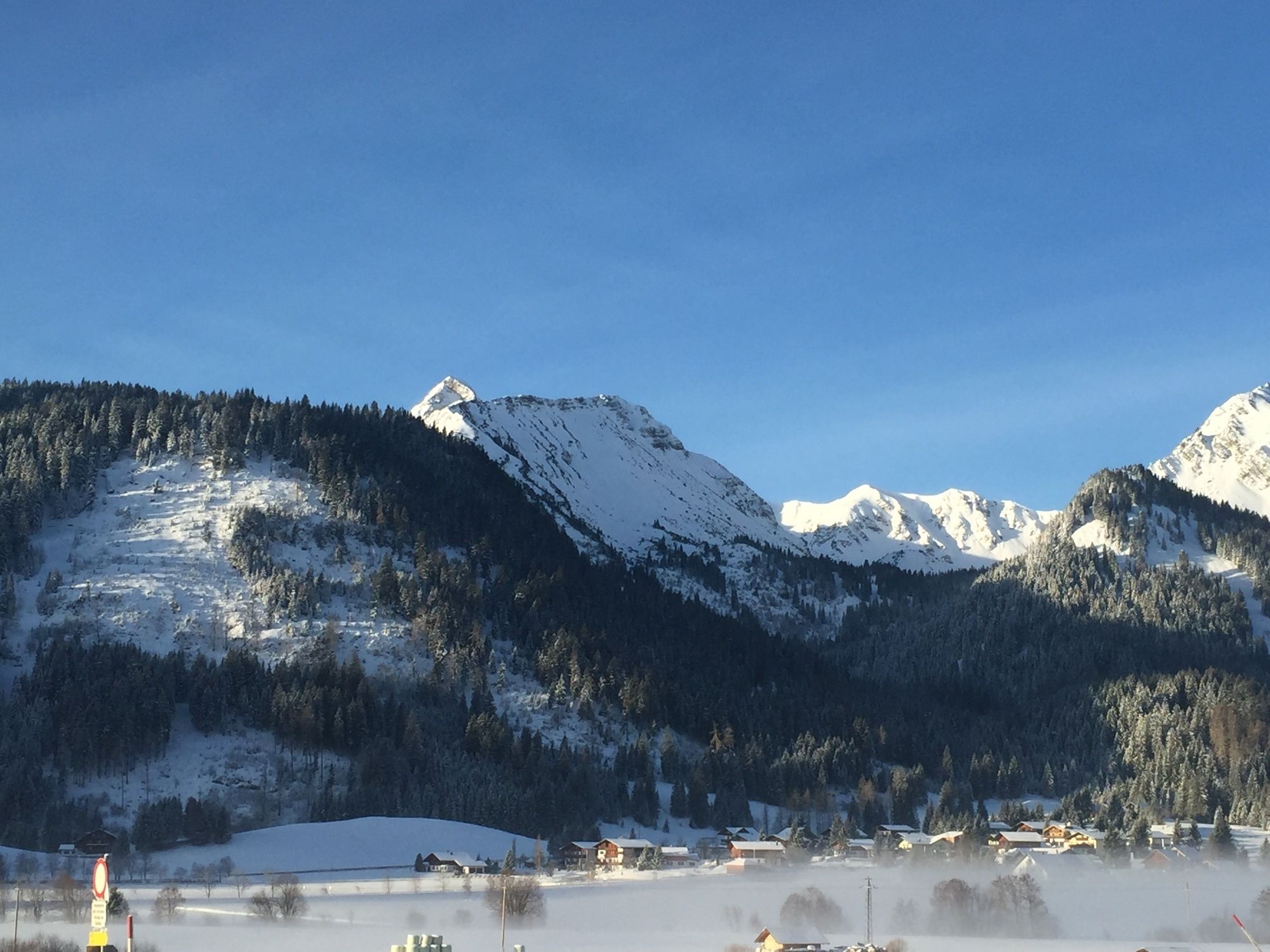
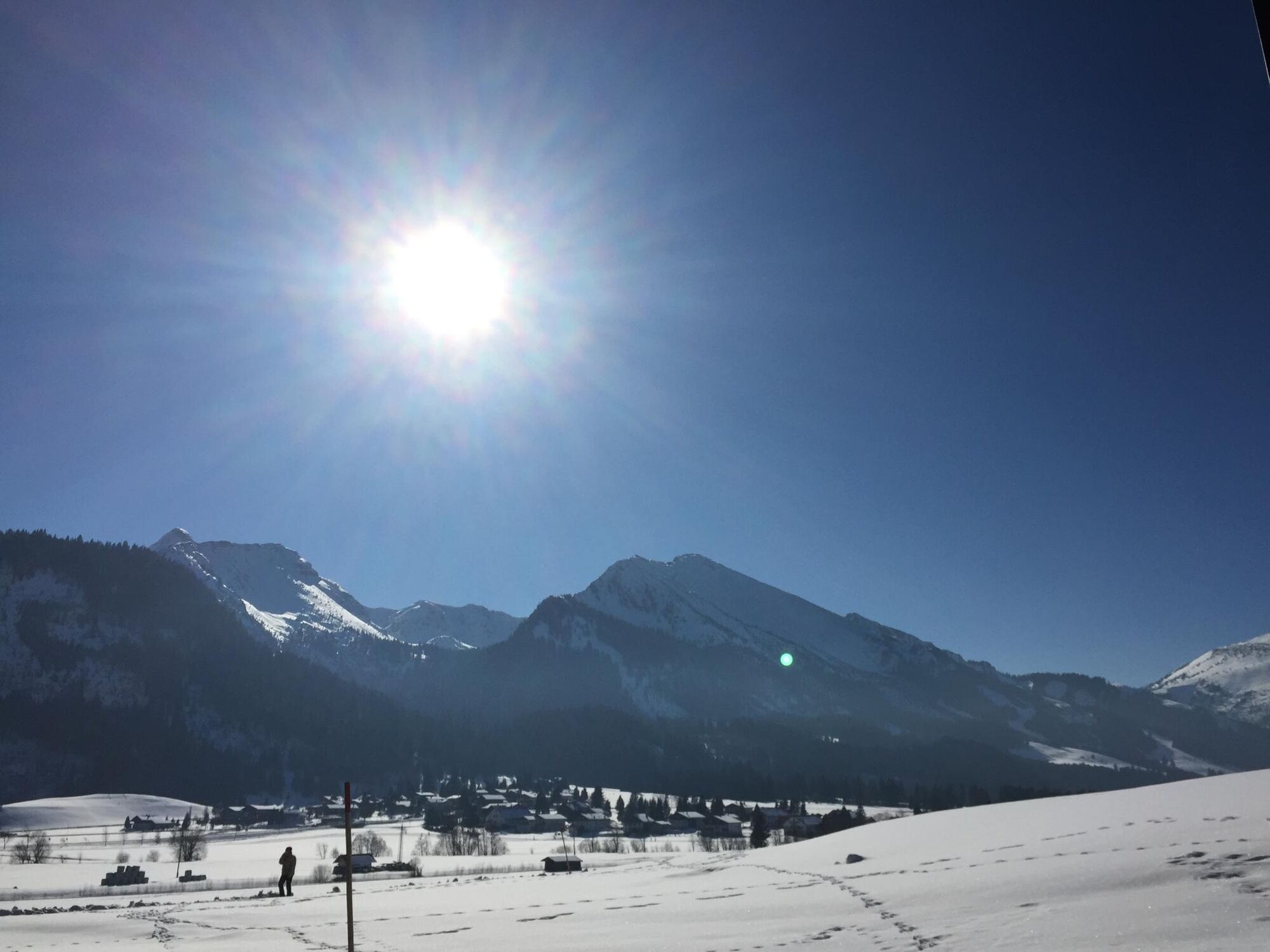
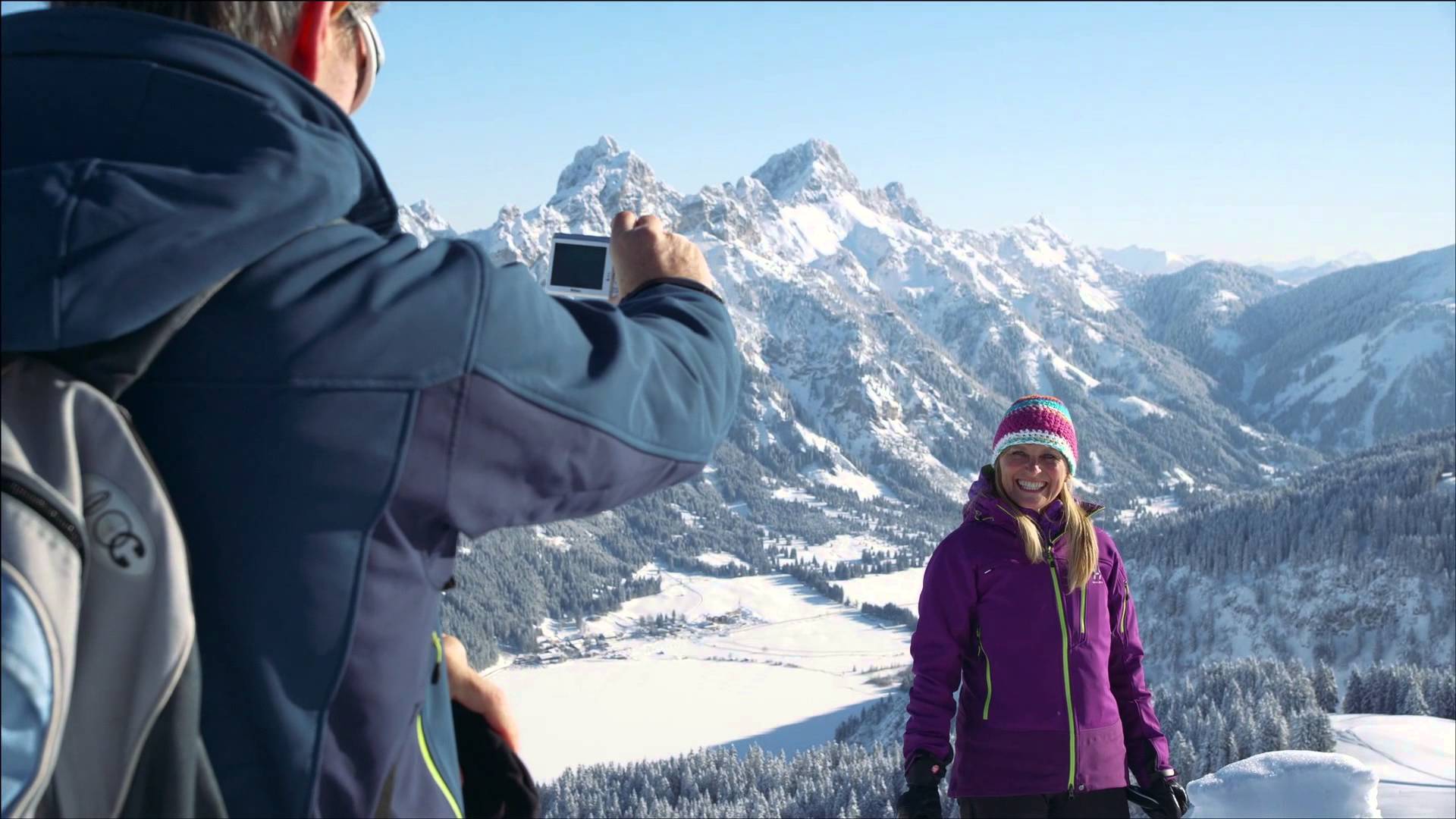
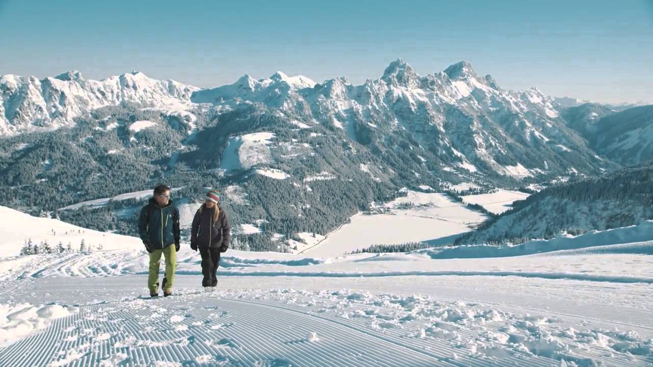
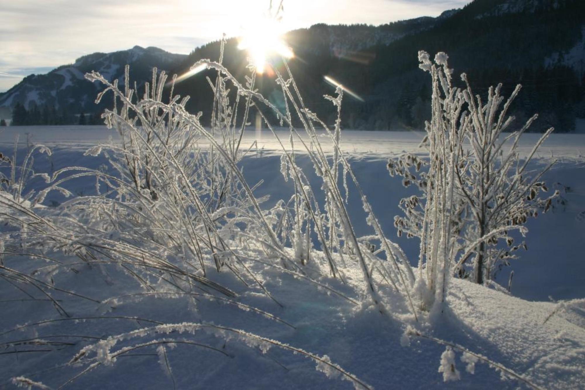
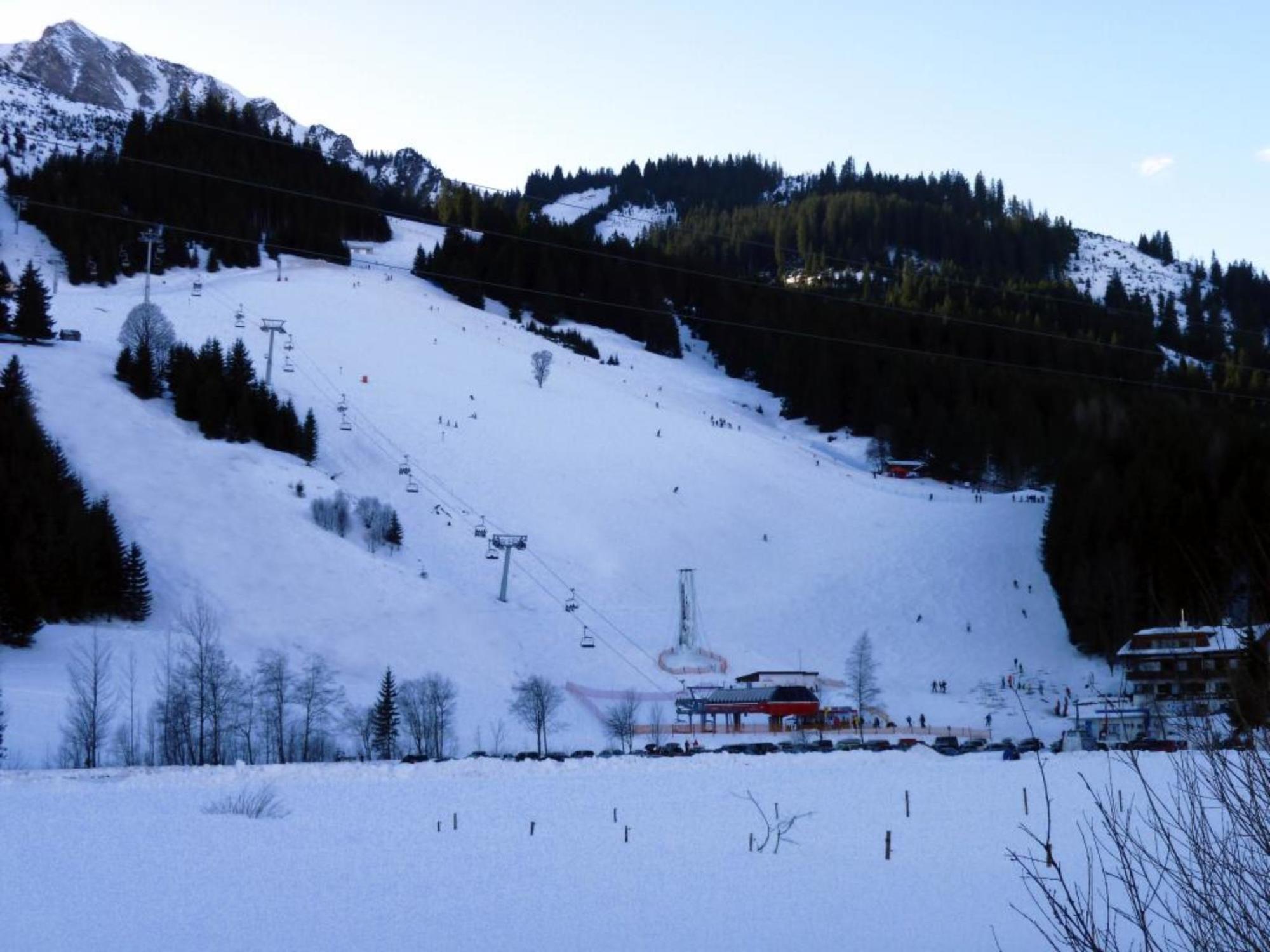
It does not always have to be skiing, snowboarding or cross-country skiing. On almost 81 kilometres of cleared paths, hikers roam through the snow-covered fairytale landscape. Along the way, cosy huts invite you to stop for a break. Sitting by the open fire, warming up with a Jaga tea or fortifying yourself with a snack for the next few kilometres - this is how you can enjoy snow walks to the full.
Because there is so much to discover and see along the approximately 81 kilometres of cleared hiking trails, so much fresh air to fill up with, that every step becomes a pleasure - whereby the inns and cafés along the routes offer extensive possibilities to strengthen and warm up. If you want to experience something really special, join a guided snowshoe hike. Those who want to reach high altitudes have two possibilities in the Tannheimer Tal to climb a peak in winter, too: the Neunerköpfle in Tannheim with the largest peak book of the Alps or the Gamskopf with the panorama information system in Grän.
- Directions
-
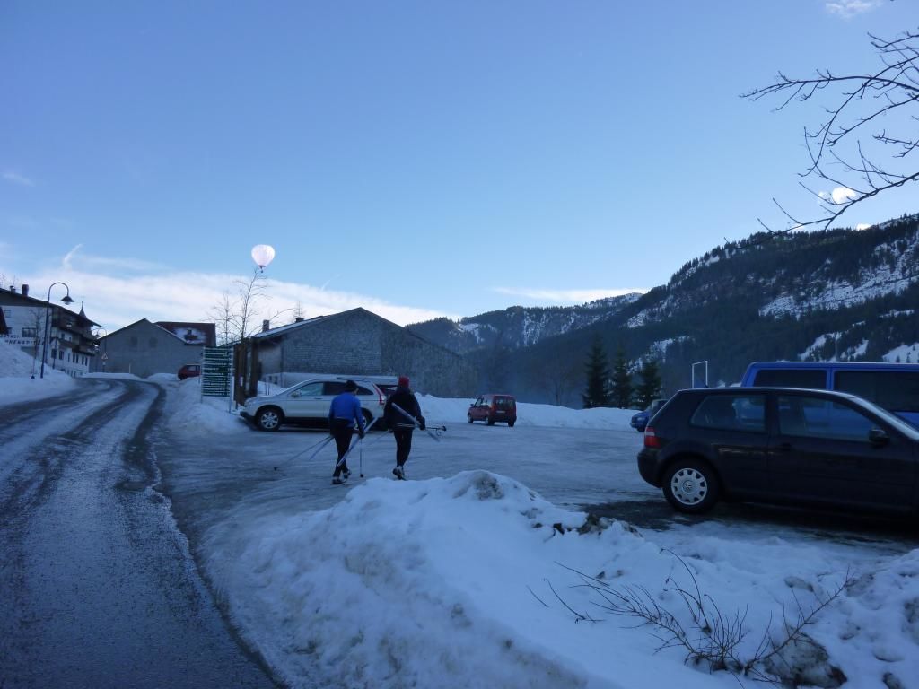
From the car park at the entrance to Zöblen West, parallel to the main road, cross the main road and walk along the small stream on the winter hiking trail to the east. At the height of the district Kienzerle cross the federal road and below the camping site turn right towards east. Past Untergschwend and the St. Leonhard Chapel to the district Berg. Keep right there and continue into the centre of Tannheim and back over the centre of the village in the direction of Unterhöfen/ Neu-Kienzen, further through the district of Kienzen, cross a small bridge, keep left and follow the same path back to the starting point.
- Highest point
- 1,101 m
- Endpoint
-
Parking lot west in Zöblen
- Height profile
-

- Equipment
-
Summer hiking:
No special equipment required.
Winter hiking:
An up-to-date and well-kept/maintained equipment (shoes, sticks and clothes) not only provides a considerable degree of safety but also makes winter hiking much easier. Sun protection (high protection factor and possibly sunglasses) as well as sufficient liquid should not be forgotten.
- Safety instructions
-
Summer hiking:
No special safety instructions to be observed. If necessary, use sun or rain protection and take something to drink with you.
Winter hiking:
It should be noted that there is an increased risk of accidents and injuries during winter hiking. Especially in winter, special attention must be paid to the condition of the paths. Suitable clothing, good shoes and possibly hiking sticks provide additional safety. Stay on the marked paths.
- Tips
-
A visit to the plague chapel of Saint Leonhard is worthwhile.
- Additional information
-
Tourismusinformation Tannheimer Tal
- Arrival
-
On the motorway A7 at the exit "Oy-Mittelberg" on the B310 towards Wertach and to Oberjoch. There follow the signposting "Tannheimer Tal" B199, exit Zöblen, to the car park West.From the Tyrolean side via Reutte on the B198 towards Lechtal to Weißenbach, over the Gaichtpass along the B199 to the exit Zöblen, to the car park West.
- Public transportation
-
By train to Sonthofen, Pfronten/Ried or Reutte, then by bus to Zöblen.
- Parking
-
Parking lot west in Zöblen - with cost
- Author
-
The tour Zöblen - Zöbler Moos - Tannheim is used by outdooractive.com provided.


General info
-
Allgäu
167
-
Tannheimer Tal
131
-
Tannheim
51