- Brief description
-
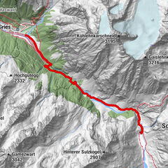
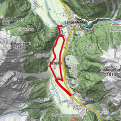
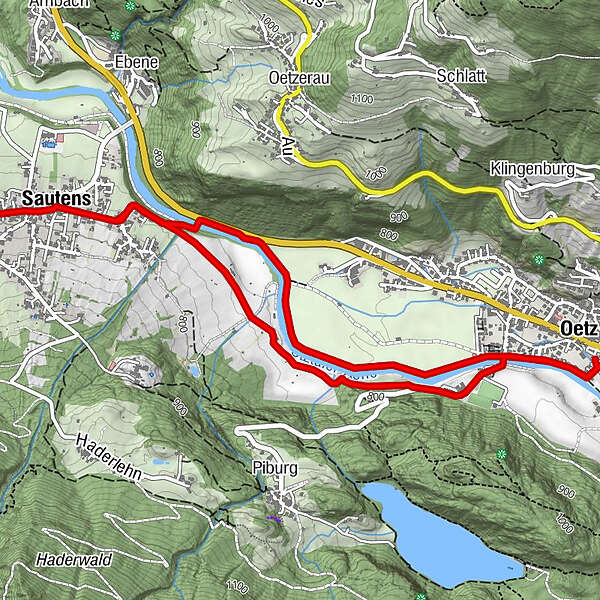
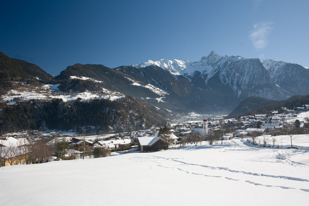
SAUTENS -> Office -> through the village -> Beerweg -> Oetz -> along the river -> bach to Sautens -> SAUTENS
- Difficulty
-
easy
- Rating
-
- Starting point
-
Oetz - Zentrumsparkplatz
- Route
-
Oetz (812 m)0.2 kmSautens (812 m)2.8 kmOetz (812 m)6.1 km
- Best season
-
AugSepOctNovDecJanFebMarAprMayJunJul
- Description
-
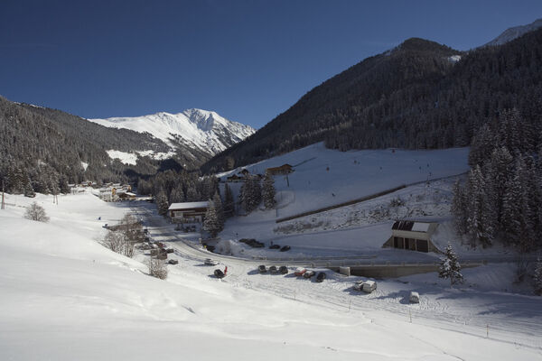
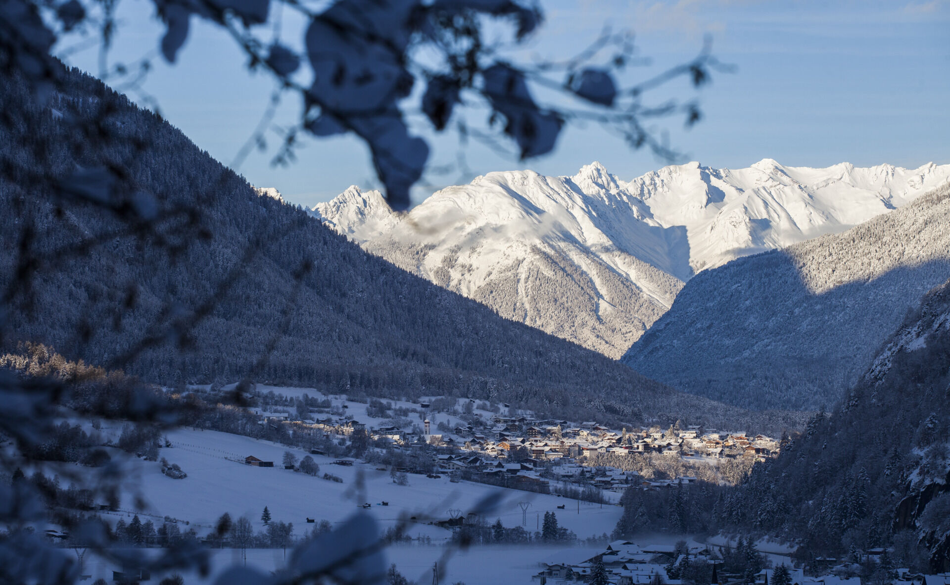
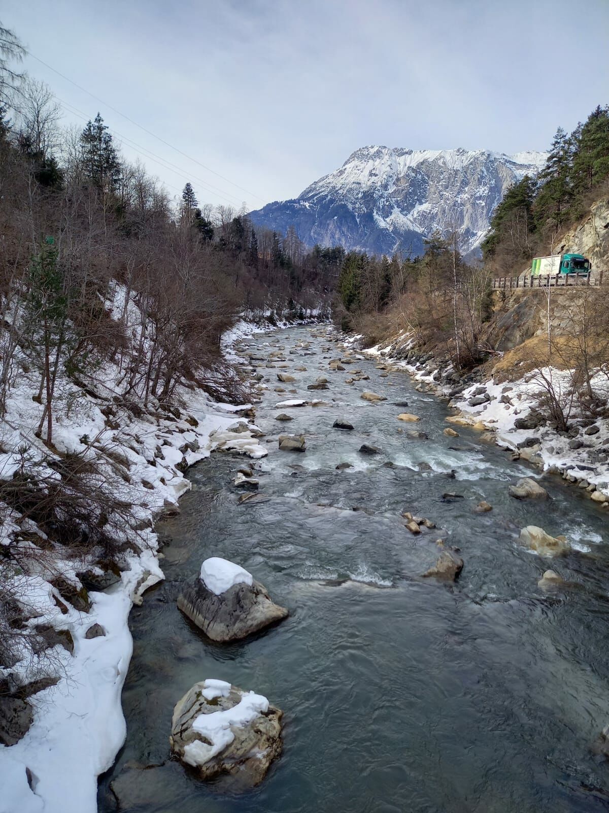
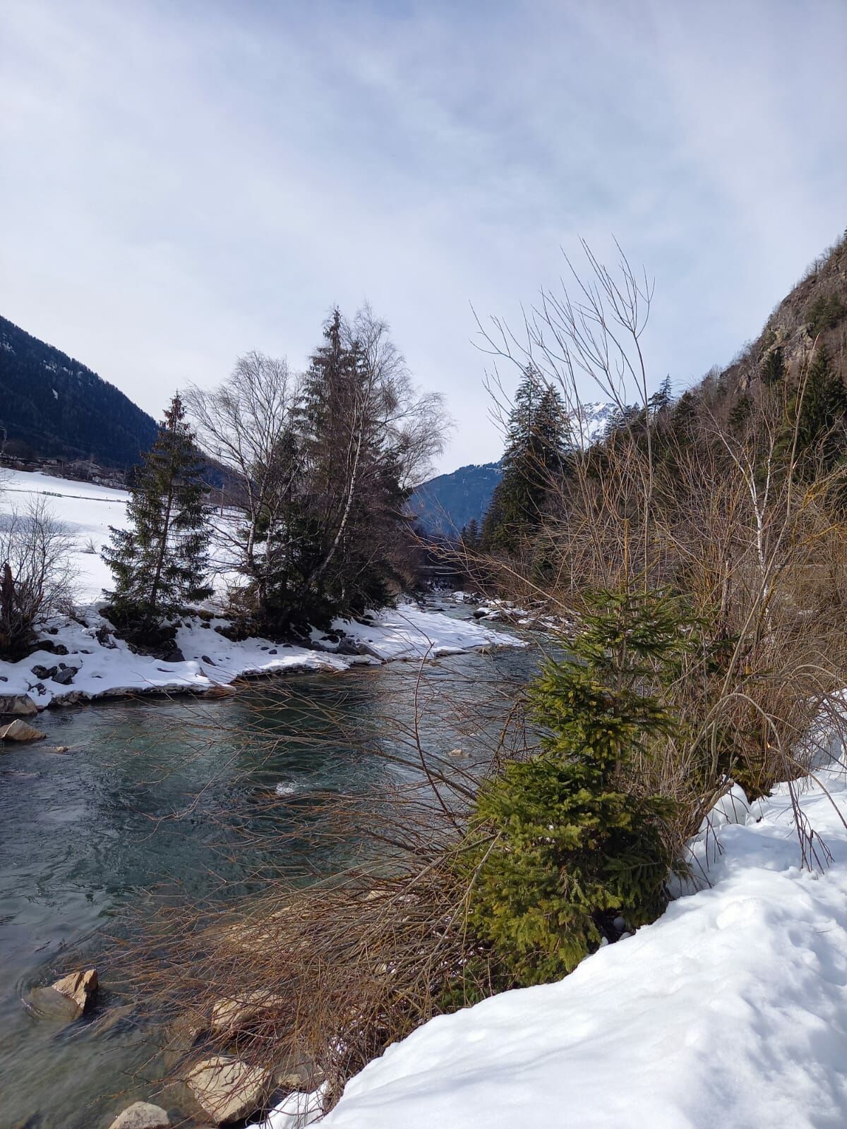
This hike starts in Oetz at the central parking. From there walk down the river along a paved road to a bridge called "Piburg Brücke", cross the river and walk onto the `Beerweg`. This nice road leads you over snowy fields to the village Sautens. You cross the river again and follow the `Medinger Weg` next to the river back to Oetz.
You can also start this hike in Sautens.
- Directions
-
You start this hike in Oetz at the central parking. From there walk down the river and follow the asphalt road t the "Piburg Bridge", cross the river and walk on to Beerweg. This nice road leads you over snowy fields to the village Sautens. You cross the river again and follow the Medinger Weg next to the river back to Oetz.
You can also start this hike in Sautens.
- Highest point
- 792 m
- Endpoint
-
Oetz - Zentrumsparkplatz
- Height profile
-

- Equipment
-
Appropriate equipment such as breathable suitable outdoor clothes for the weather, wind-, rain-, snow- and sun protection, hat and gloves is for all hikes and tours necessary. Please bring a first-aid box, a mobile phone, a walking map and if there is no hut on the way a snack and enough to drink.
- Safety instructions
-
Please pay attention to the current weather- & avalanche report: www.oetztal.com/de/winter.html & avalanche-report/albina-web/bulletin/...
- Additional information
- Directions
-
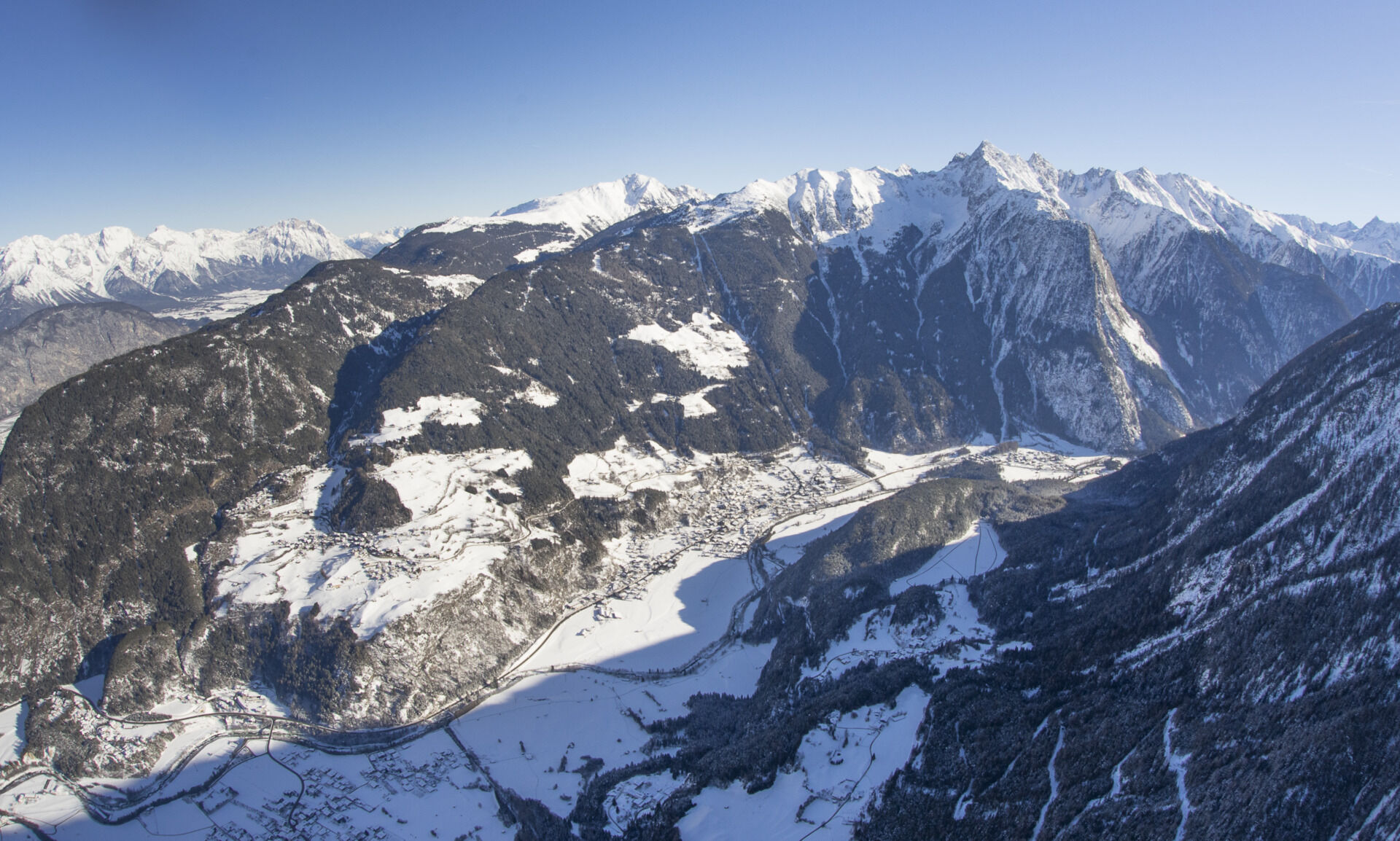
The car drive to the Ötztal valley. Situated in Tirol, the Ötztal valley set off in southerly direction and is the longest side valley in the Eastern Alps. The journey with the car leads you through the Inntal valley to the entrance of the valley and further on through the valley. Among the toll motorways you can also use the country roads. A route planner will show you the easiest and most convenient way: www.google.at/maps
- Public transportation
- Parking
-
The following parking facilities are available:
- Parking Oetz town center- parking fee
- Parking next to the river (at the end of Oetz on the right hand side) – free of charge, but limited parking; camping prohibited
- Parking Acherkogelbahn - free for guests of the gondola lift, camping prohibited
- Parking at night during several days' tours: Parking Oetz town center, the ticket is available at the tourist office Oetz.
The following parking facilities are available in Sautens:
- directly in front of the town hall - free of charge
- right after the big bridge (turnoff B186) on the big gravel parking lot - free of charge
- at the sports field / Kalkofen - free of charge
- in front of the elementary school / kindergarden, Kirchblickweg - free of charge


- Author
-
The tour Winterrunde Sautens 401 is used by outdooractive.com provided.


-
Outdoorregion Imst
119
-
Oetz
44