- Brief description
-
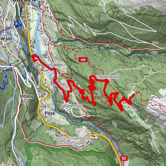
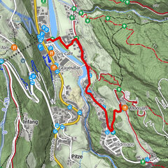
Freizeit Arena --> Granbichl --> Parking at the Barrier --> Stallwiesalm
- Difficulty
-
medium
- Rating
-
- Starting point
-
Freizeit Arena or Parking at the barrier - Sölden/Granbichl
- Route
-
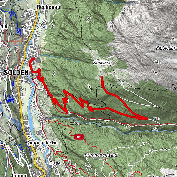
Sölden (1,368 m)0.2 kmStallwiesalm4.7 km
- Best season
-
AugSepOctNovDecJanFebMarAprMayJunJul
- Description
-
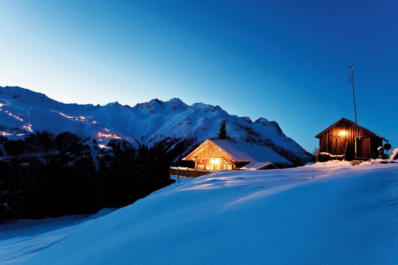
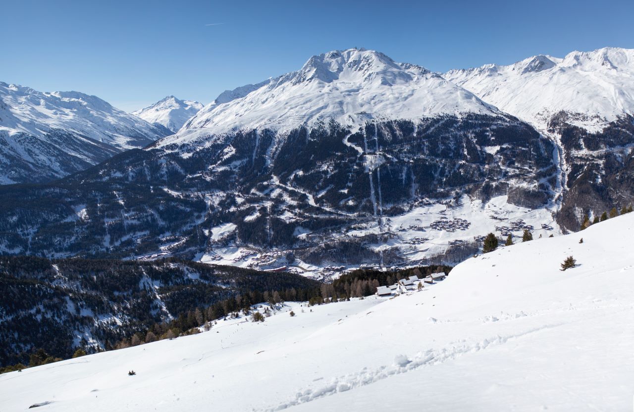
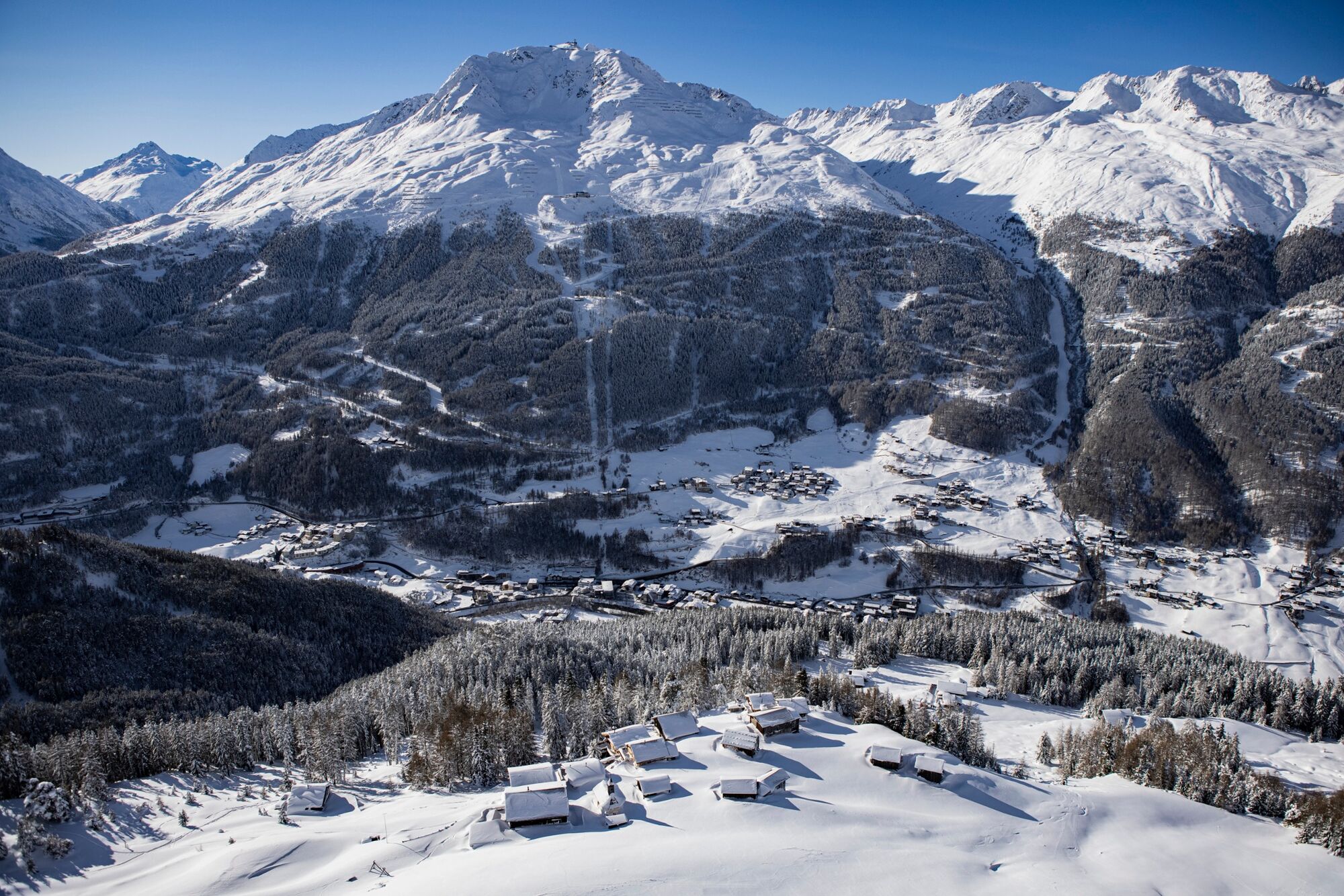
As one of the most rustic alpine huts in the Ötztal valley with the additional feature of "afternoon sun", "the Stallwies", as the Ötztal people call their hut, is a destination for the whole year.
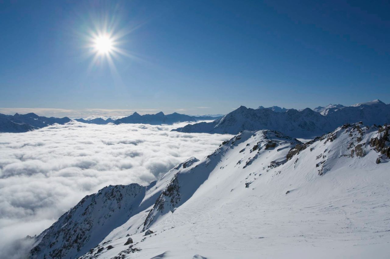
The Stallwiesalm is located on Sölden's quiet side, so you can fully enjoy the tour far away from any hustle and bustle.
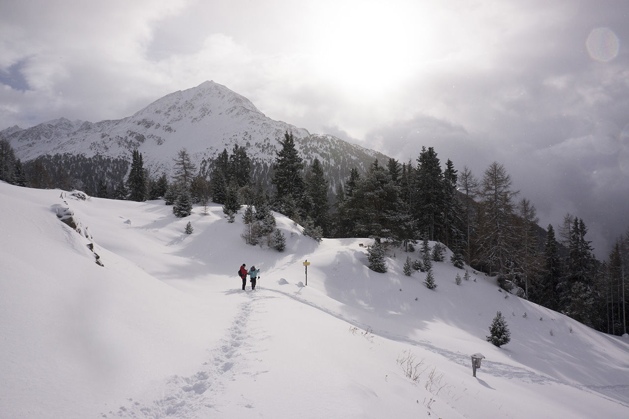
From the Freizeit Arena Sölden, you walk along Granbichlstraße (Granbichl) to the parking lot below the barrier.
From there, follow the wide forest path along the trees to the junction towards Stallwiesalm.
When you arrived at 1,850 m at the top, the cozy terrace of the Stallwiesalm invites you to stay.
Please check the opening hours of the hut.
The way back via the forest path is also a great experience with the toboggan.
- Directions
-
From the Freizeit Arena Sölden, walk along Granbichlstraße (Granbichl) to the parking lot below the barrier.
The first two turns are a bit steep, but then it gets flatter. The last climb to the hut is than again a bit steeper.
The path to the Stallwiesalm leads along a wide, groomed forest road. If there are good snow conditions, you can sometimes use the steep, narrow shortcuts through the forest. (ATTENTION - maybe icy!)
Getting back to the valley, you can either take the same way or (if there is enough snow) you are able to sledge back down.
You can rent the toboggans at the hut.
The proper preparation and conservation of the road, is in responsibility by the owner of the hut.
Please check the opening hours of the hut.
Tobogganing at your own risk!
- Highest point
- 1,867 m
- Endpoint
-
Freizeit Arena or Parking at the barrier - Sölden/Granbichl
- Height profile
-

- Equipment
-
Suitable equipment such as breathable and weather-adapted outdoor clothing, ankle-high hiking boots, wind, rain and sun protection, cap, and gloves, are required for all walks and hikes.
We also recommend to bring a first aid package, a mobile phone, a bottle with enough water and possibly a hiking map.
- Safety instructions
-
If you go in the evening to Stallwiesalm you should bring a head torch with you. (the tour is not lightened)
You can also borrow them in the hut.
Please inform yourself about the conditions and status of the respective winter hiking trail at Ötztal Tourismus.
Ötztal Tourismus
T +43 (0) 57 200 200
soelden@oetztal.com - Tips
-
The hut evenings take place WED and THU.
For larger groups we recommend to make a reservation.
Hut evenings can be also organized on other days of the week.
- Additional information
- Directions
-
The drive to the ÖTZTAL. Located in Tyrol, the ÖTZTAL branches off to the south as the longest side valley of the Eastern Alps. Arriving by car leads guests over the Inn Valley to the valley entrance and further along the Ötztal. In addition to the toll motorway can also be used on rural roads. With the route planner, the journey can be quickly and easily determined:
- Public transportation
- Parking
-
The following parking facilities are available in Sölden:
- Parking at the barrier
- Parking lot Postplatz
All parking is free during the day.
- Author
-
The tour Stallwiesalm - Sölden (Tuesday day off) is used by outdooractive.com provided.