


- Brief description
-
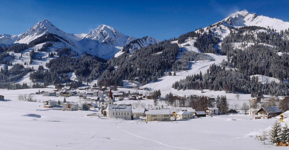
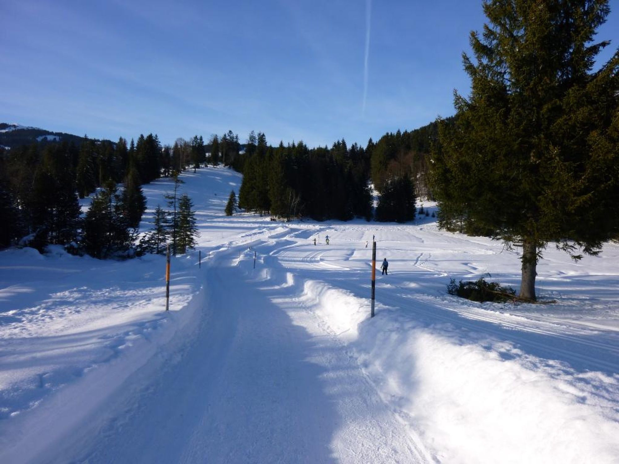
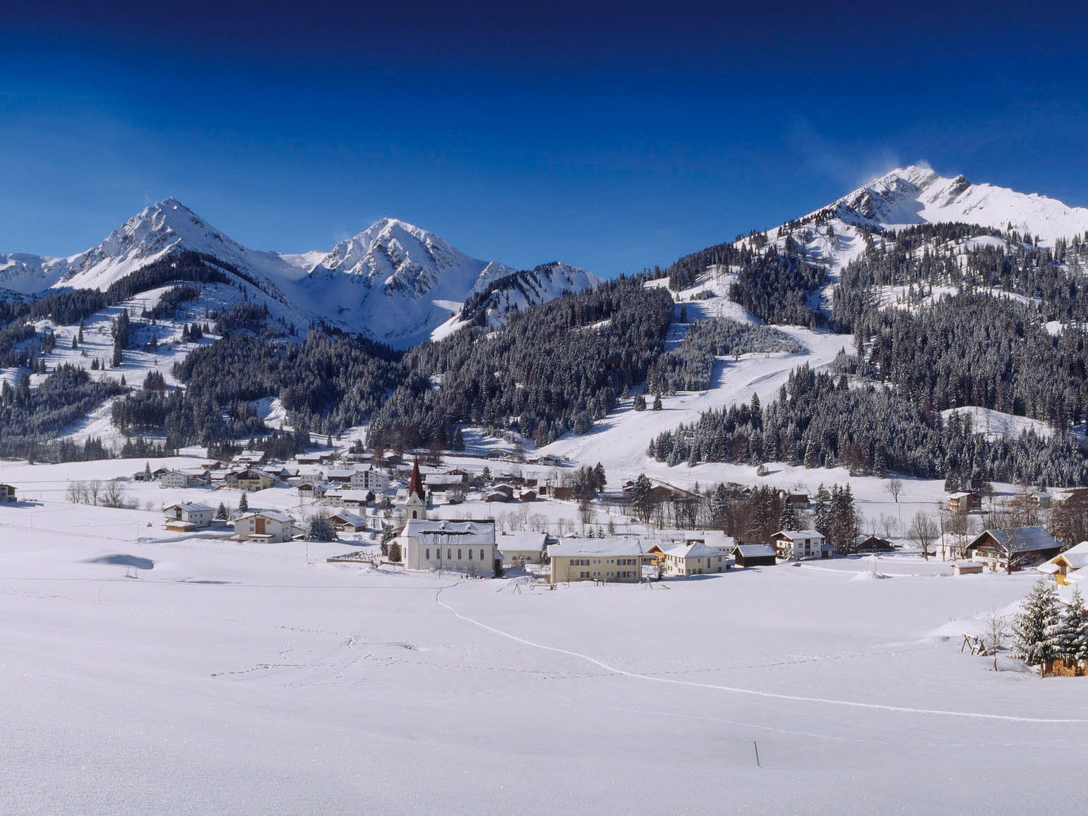
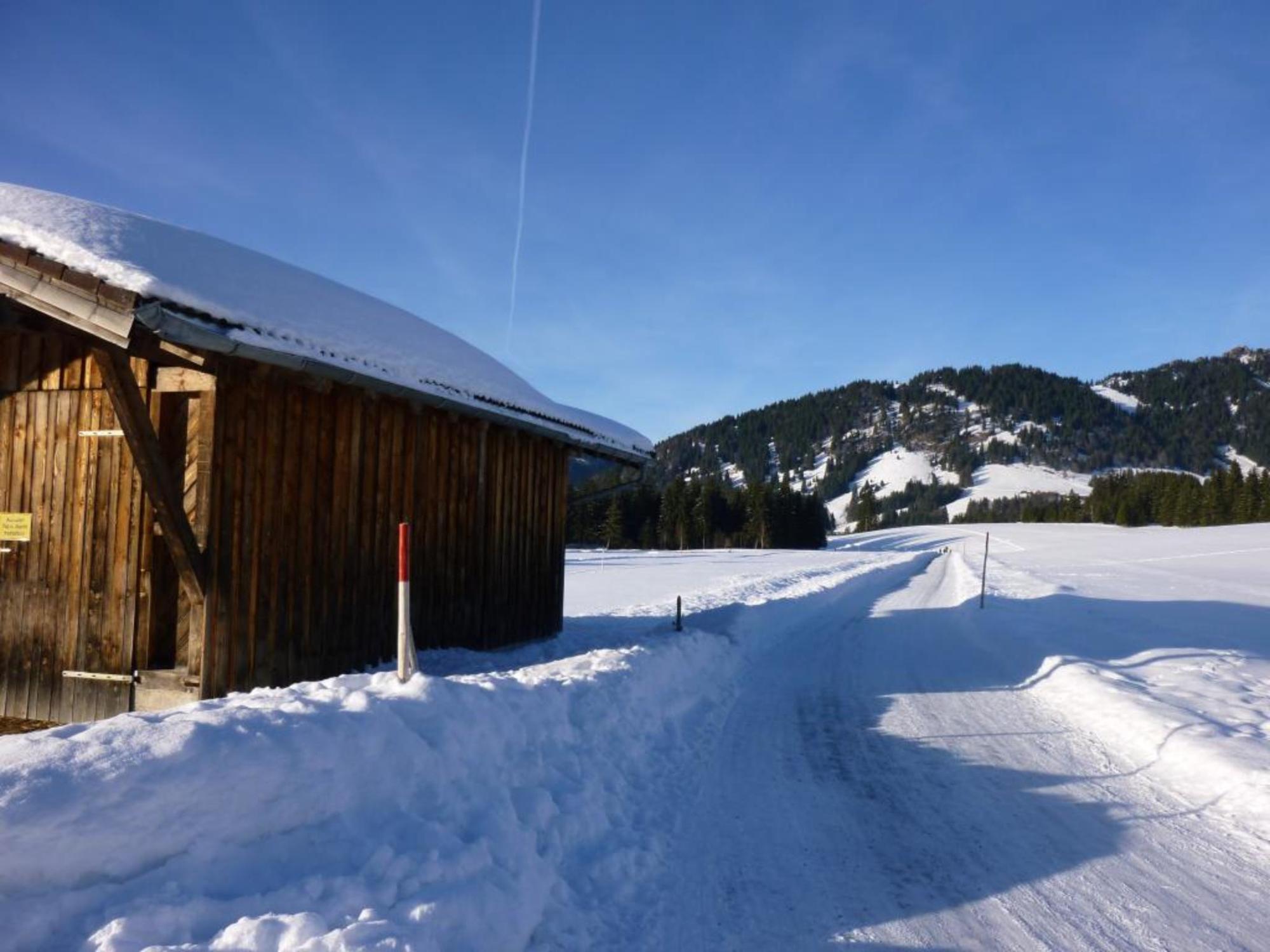
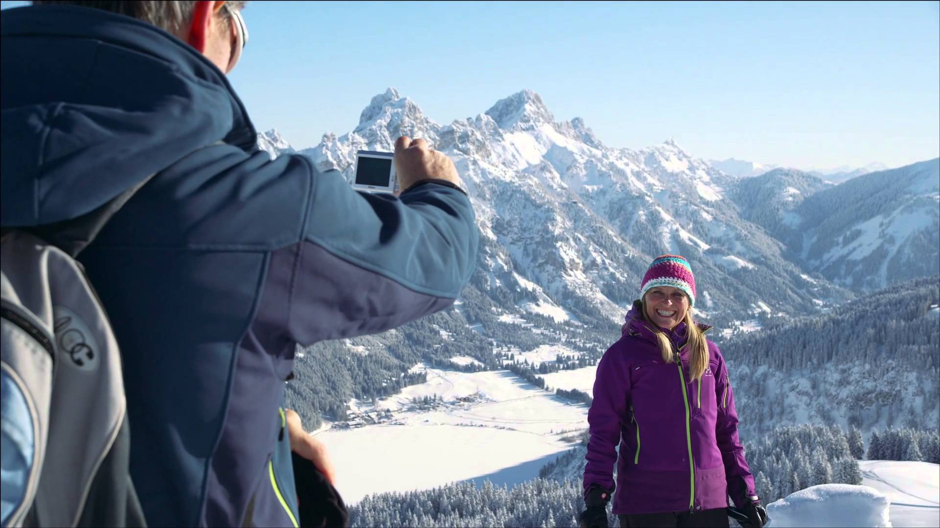
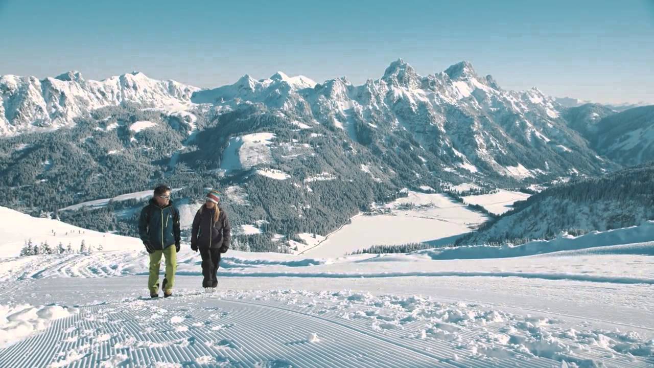
A leisurely winter hike for the whole family
- Difficulty
-
easy
- Rating
-
- Starting point
-
At the church in Schattwald
- Route
-
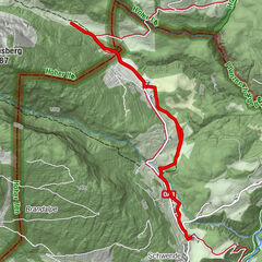
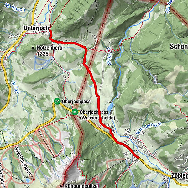
Schattwald (1,072 m)0.1 kmSteig1.0 kmPfarrkirche Heiligste Dreifaltigkeit4.9 kmUnterjoch5.0 km
- Best season
-
AugSepOctNovDecJanFebMarAprMayJunJul
- Description
-
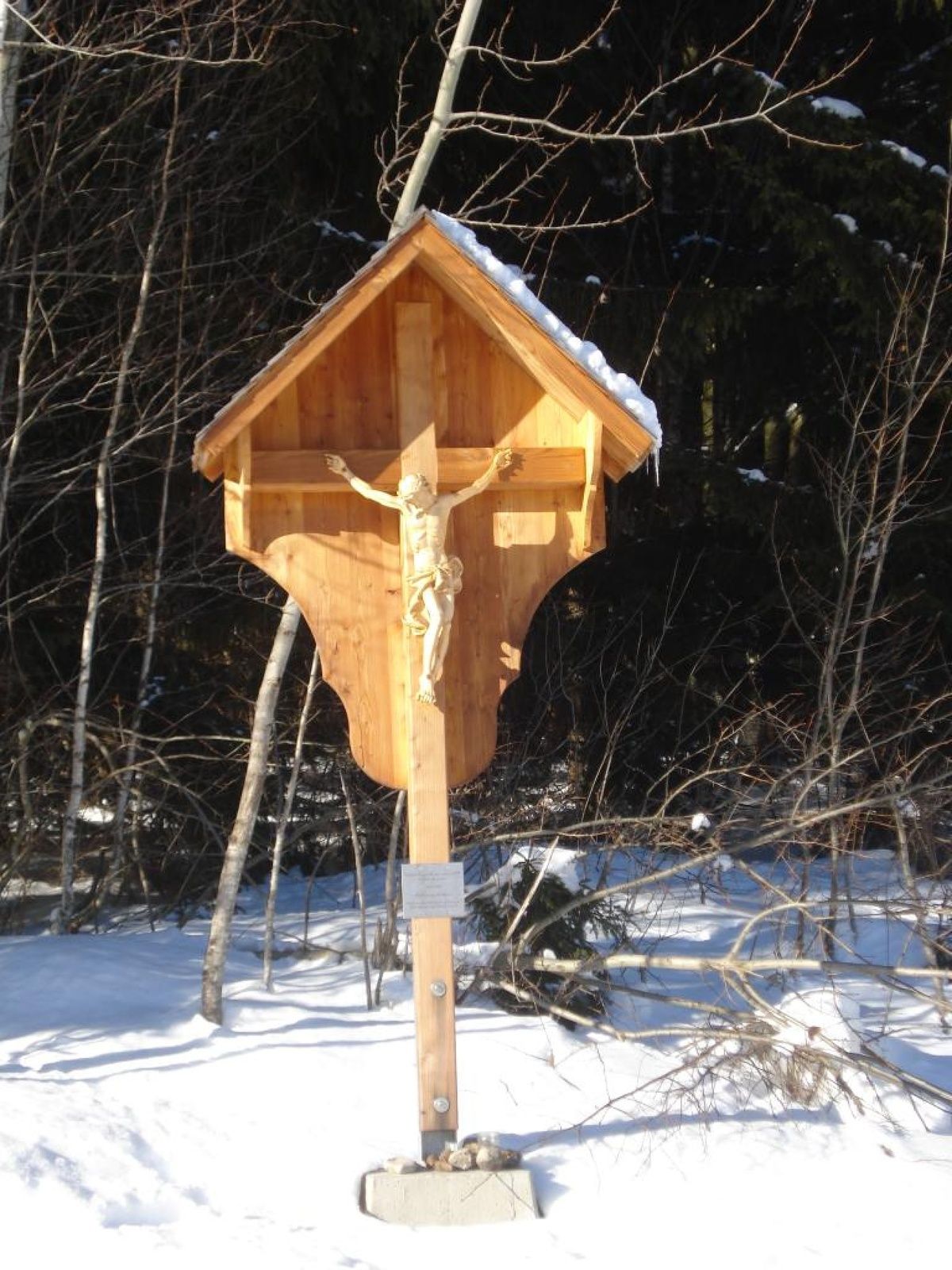
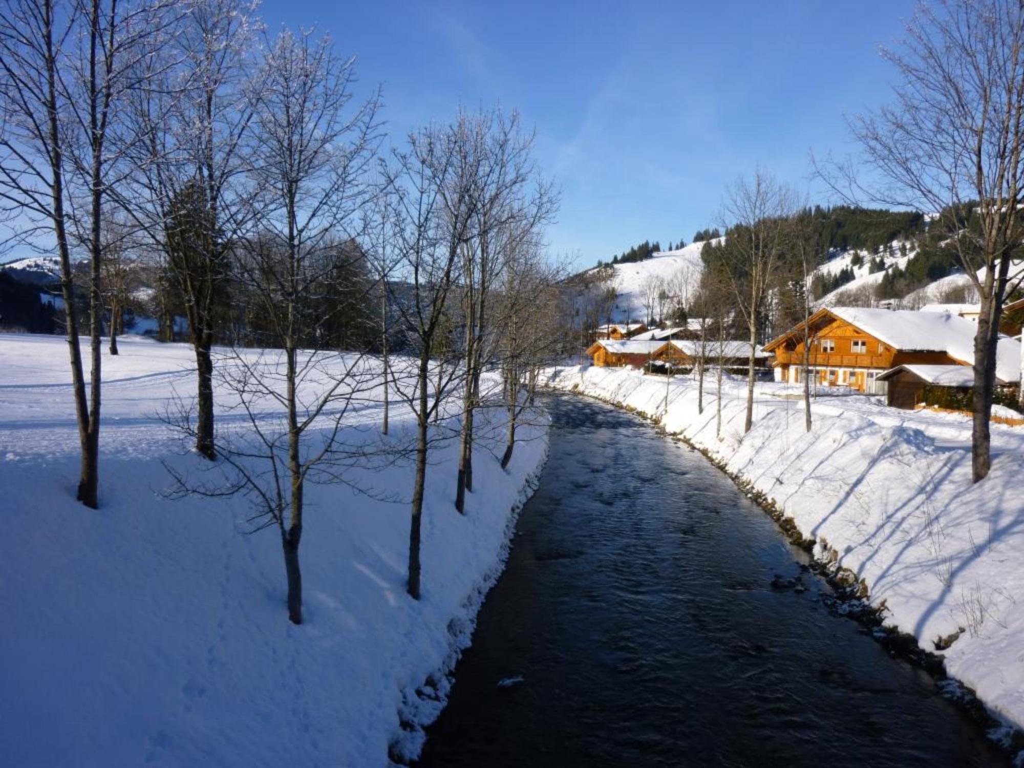
A winter hike with border crossing. Discover the deep winter region between Austria and Germany. Enjoy a hike through an unspoilt landscape.
It does not always have to be skiing, snowboarding or cross-country skiing. On almost 81 kilometres of cleared paths hikers roam through the snow-covered fairytale landscape. On the way, cosy huts invite you to stop for a break. Sitting by the open fire, warming up with a Jaga tea or fortifying yourself with a snack for the next few kilometres - this is how you can enjoy snow walks to the full.
- Directions
-
From the church in Schattwald in western direction and through the district Kappl along the river Vils. Cross the Vils at the bridge and continue on Rehbachstraße to the crossing Unterjoch. Turn left and follow the path via the district Steinenberg to Unterjoch. The way back can be done on the same way or via Oberjoch to Schattwald.
- Highest point
- 1,077 m
- Endpoint
-
Unterjoch near the parish church
- Height profile
-

- Equipment
-
An up-to-date and well-kept/maintained equipment (shoes, sticks and clothes) not only provides a considerable degree of safety but also makes winter hiking much easier. Sun protection (high protection factor and possibly sunglasses) as well as sufficient liquid should not be forgotten.
- Safety instructions
-
It should be noted that winter hiking also involves an increased risk of accidents and injuries. Especially in winter, special attention must be paid to the condition of the paths. Suitable clothing, good footwear and possibly hiking sticks provide additional safety. Stay on the marked paths.
- Additional information
-
Tourismusverband Tannheimer Tal
- Directions
-
On the motorway A7 at the exit "Oy-Mittelberg" on the B310 towards Wertach and to Oberjoch. There follow the signposting "Tannheimer Tal" B199, exit Schattwald.From the Tyrolean side via Reutte on the B198 towards Lechtal until Weißenbach, over the Gaichtpass along the B199 until the exit Schattwald.
- Public transportation
-
By train to Sonthofen, Pfronten/Ried or Reutte, then by bus to Schattwald.
- Parking
-
At the community center in Schattwald - with costs
- Author
-
The tour Schattwald - Unterjoch is used by outdooractive.com provided.


General info
-
Allgäu
167
-
Tannheimer Tal
131
-
Schattwald - Zöblen
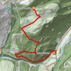
43