- Brief description
-
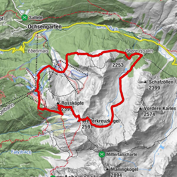
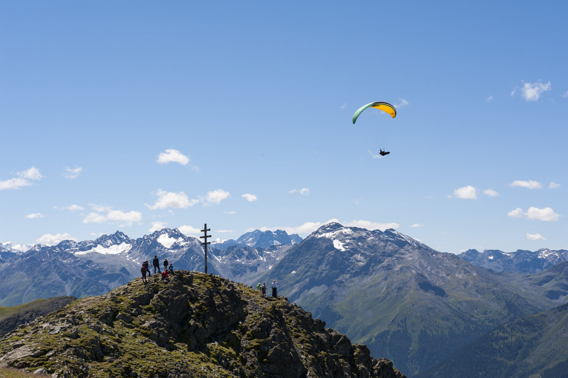
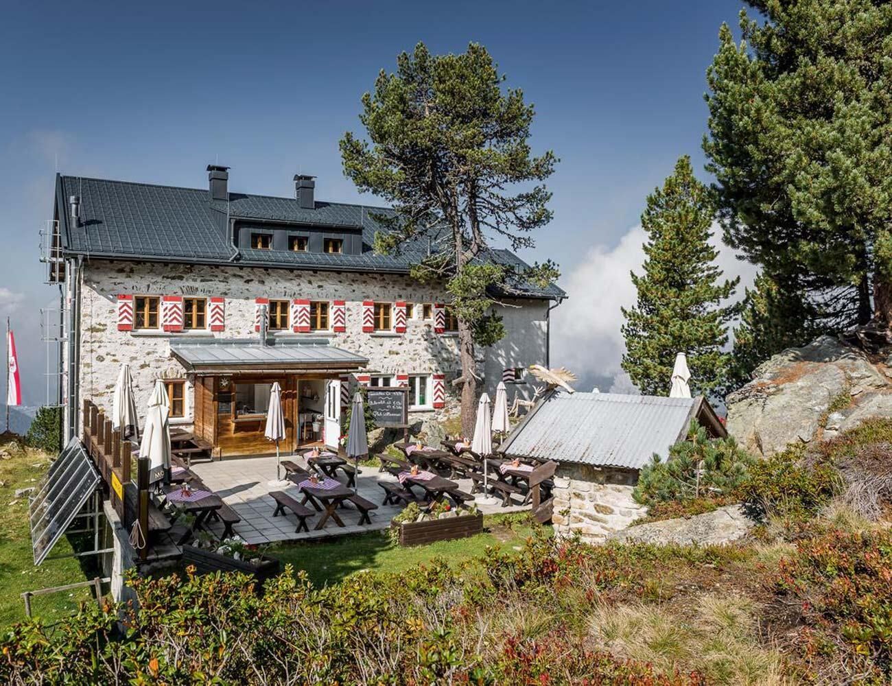
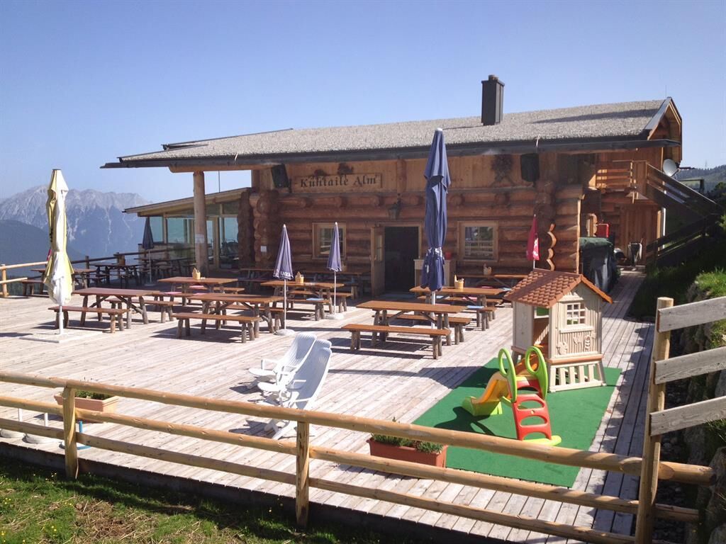
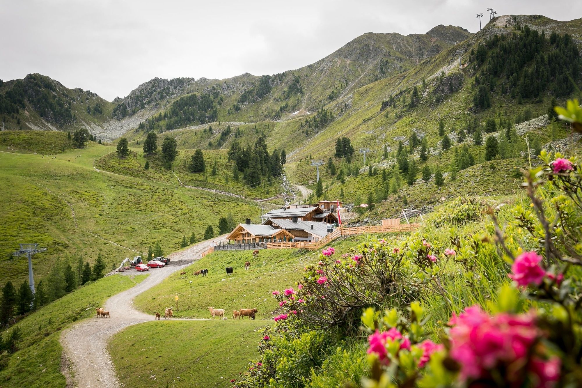
PANORAMARESTAURANT HOCHOETZ -> Bielefelder Hütte -> Wetterkreuz -> Wörgetal -> Knappenhaus -> Obere Issalm -> Balbach Alm -> Kühtaile Alm -> PANORAMARESTAURANT HOCHOETZ
- Difficulty
-
medium
- Rating
-
- Starting point
-
Panoramarestaurant Hochoetz
- Route
-
Panorama-RestaurantNeue Bielefelder Hütte0.6 kmRossköpfe (2,399 m)1.8 kmWetterkreuzkogel (2,591 m)3.0 kmBalbach Alm10.0 kmKühtaile Alm10.7 kmPanorama-Restaurant11.5 kmAcherkogelbahn Bergstation11.5 kmAcherkogel Sektion II11.5 km
- Best season
-
JanFebMarAprMayJunJulAugSepOctNovDec
- Description
-
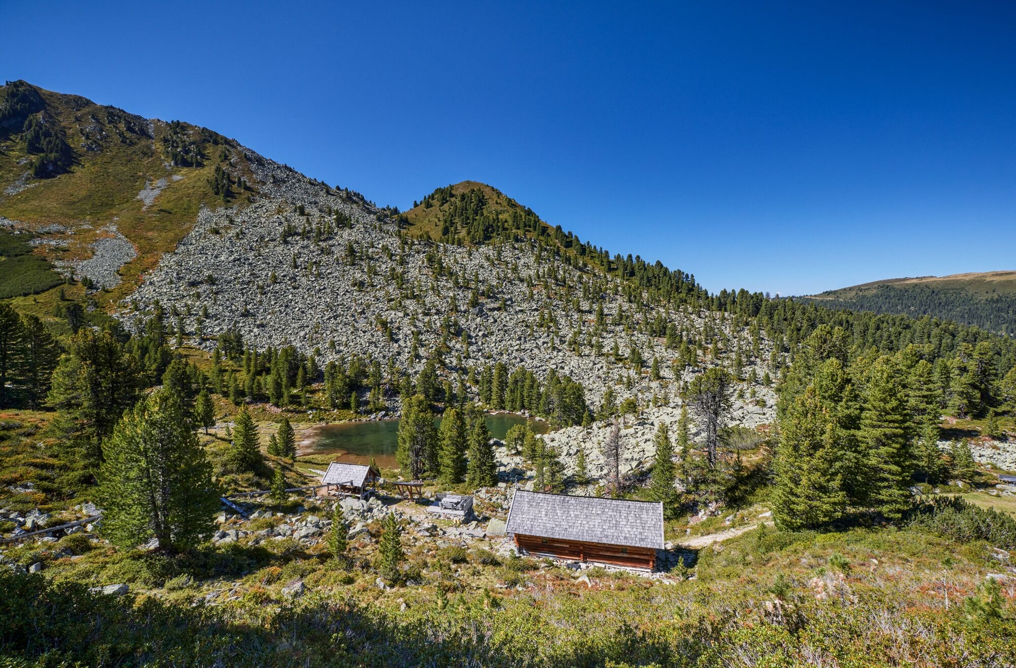
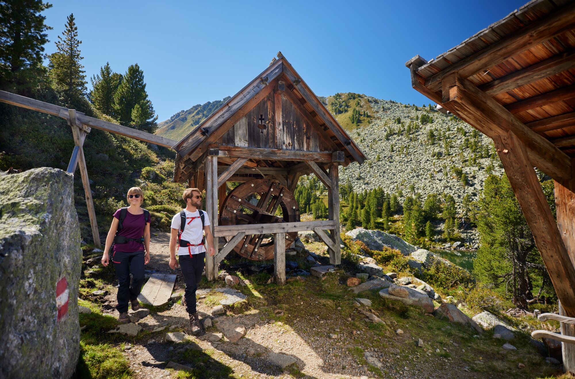
This high elevation trail takes you from the Hochoetz Panorama Restaurant to Bielefelder Hütte and further on to Wetterkreuz. Proceed to Wörgetal until you get to the reconstructed Miners House in original style with stamping mill - a kind of stone mill for crushing ore. Continue to the (decayed) Obere Issalm before you reach the Balbachalm and return to the Panorama Restaurant via Kühtaile Alm.
Walking time without rest stops: approx. 6 hours
Further access points of this route can be found in Ochsengarten at Balbachhof or Issbrücke car park and in Kühtai.
- Directions
-
This high elevation trail takes you from the Hochoetz Panorama Restaurant to Bielefelder Hütte and further on to Wetterkreuz. Proceed to Wörgetal until you get to the reconstructed Miners House in original style with stamping mill - a kind of stone mill for crushing ore. Continue to the (decayed) Obere Issalm before you reach the Balbachalm and return to the Panorama Restaurant via Kühtailealm. Walking time without rest stops: approx. 6 hours.
Further access points of this route can be found in Ochsengarten at Balbachhof or Issbrücke car park and in Kühtai.
- Highest point
- 2,578 m
- Endpoint
-
Panoramarestaurant Hochoetz
- Height profile
-

- Equipment
-
Appropriate equipment such as breathable suitable outdoor clothes for the weather, ankle-high walking boots, wind-, rain- & sun protection, hat, possibly gloves, is for all hikes and tours necessary. Please bring a first-aid box, a mobile phone, a walking map and if there is no hut on the way a snack and enough to drink.
- Safety instructions
-
Moderate mountain trail; for sure-footed and experienced hikers. Good physical condition, mountain experience& mountain equipment (see notice equipment) necessary. Please pay attention to the current weather report: www.oetztal.com
- Tips
-
Enjoy the untouched nature at the small lake "Puchersee" beneath the miners museum. Ralax and dream!
- Additional information
- Directions
- Public transportation
- Parking
-
The following parking facilities are available:
- Parking Acherkogelbahn - free for guests of the gondola lift, camping prohibited
- Parking next to the river (at the end of Oetz on the right hand side) – free of charge, but limited parking; camping prohibited
- Parking Oetz town center- parking fee
- Parking at night during several days' tours: Parking Oetz town center, the ticket is available at the tourist office Oetz.
- Parking at the Ochsengartencable car station. free parking, camping prohibited

- Author
-
The tour Miners Trail Hochoetz with Wetterkreuz peak is used by outdooractive.com provided.


General info
-
Mieminger Plateau & Inntal
1686
-
Oetz
339