- Brief description
-
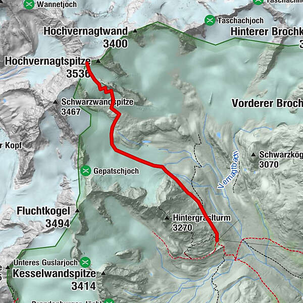
VERNAGTHÜTTE -> HOCHVERNAGTSPITZE
- Difficulty
-
difficult
- Rating
-
- Starting point
-
Vernagthütte
- Route
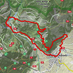
-
Vernagthütte0.0 km
- Best season
-
JanFebMarAprMayJunJulAugSepOctNovDec
- Description
-
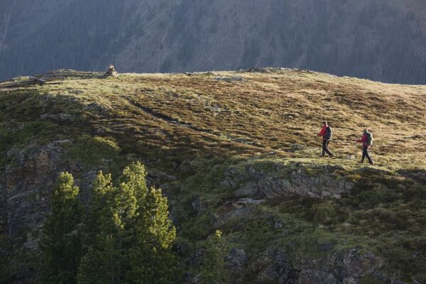
Behind Vernagthütte a permanently rising trail leads up along the moraines in north-western direction. At the height of Hintergraslspitze you continue to Vernagtferner glacier which takes you right to the summit on a moderately climbing route.
- Directions
-
Behind Vernagthütte a permanently rising trail leads up along the moraines in north-western direction. At the height of Hintergraslspitze you continue to Vernagtferner glacier which takes you right to the summit on a moderately climbing route.
- Highest point
- 3,491 m
- Endpoint
-
Hochvernagtspitze
- Height profile
-

- Equipment
-
Appropriate equipment such as breathable suitable outdoor clothes for the weather, ankle-high walking boots, wind-, rain- & sun protection, hat, possibly gloves, is for all hikes and tours necessary. Please bring a first-aid box, a mobile phone, a walking map and if there is no hut on the way a snack and enough to drink.
- Safety instructions
-
Moderate mountain trail; for sure-footed and experienced hikers. Good physical condition, mountain experience & mountain equipment (see notice equipment) necessary. Please pay attention to the current weather report: www.oetztal.com
- Tips
-
Reservation of the hut sleeping places necessary!
- Directions
- Public transportation
- Parking
-
The following parking options are available in the mountaineering village Vent
- In summertime in front of the village (parking machine, only coins or EC card) and at the chairlift (at the ticket office of the mountain railways)
- In wintertime only at the chairlift
Cost: € 5,00 per day/car

- Author
-
The tour Hochvernagtspitze is used by outdooractive.com provided.
GPS Downloads


General info
Refreshment stop
A lot of view
Other tours in the regions
-
Vinschgau
1285
-
Schnalstal
596
-
Pitztaler Gletscher - Bergbahnen Rifflsee
285