- Brief description
-
DIEMWEG -> VENT
- Difficulty
-
difficult
- Rating
-
- Starting point
-
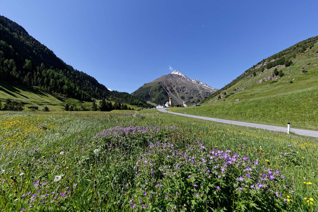
Vent
- Route
-
VentGasthaus Pension Obervent0.2 kmOchsenkopflift13.5 kmGasthaus Pension Obervent13.9 kmVent14.0 km
- Best season
-
JanFebMarAprMayJunJulAugSepOctNovDec
- Description
-
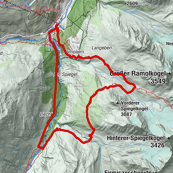
A steep trail leads from Ramolalm towards Ramoljoch. The route forks off to the right at the height of Spiegelkar cirque, continuing below the summit of Vorderer Spiegelkogel. After crossing Diembach brooklet you descend into Niedertal, following the path above the brooklet. Cross Niedertalache brooklet (iron bridge) before you reach Schäferhütte, then change to the ascending Niedertalweg trail. Here you proceed either towards Martin Busch Hütte or return to Vent.
- Directions
-
A steep trail leads from Ramolalm towards Ramoljoch. The route forks off to the right at the height of Spiegelkar cirque, continuing below the summit of Vorderer Spiegelkogel. After crossing Diembach brooklet you descend into Niedertal, following the path above the brooklet. Cross Niedertalache brooklet (iron bridge) before you reach Schäferhütte, then change to the ascending Niedertalweg trail. Here you proceed either towards Martin Busch Hütte or return to Vent.
- Highest point
- 2,808 m
- Endpoint
-
Vent
- Height profile
-

- Equipment
-
Appropriate equipment such as breathable suitable outdoor clothes for the weather, ankle-high walking boots, wind-, rain- & sun protection, hat, possibly gloves, is for all hikes and tours necessary. Please bring a first-aid box, a mobile phone, a walking map and if there is no hut on the way a snack and enough to drink.
- Safety instructions
-
Moderate mountain trail; for sure-footed and experienced hikers. Good physical condition, mountain experience & mountain equipment (see notice equipment) necessary. Please pay attention to the current weather report: www.oetztal.com
- Tips
-
Only in good weather conditions, no hut!
- Additional information
- Directions
-
The car drive to the Ötztal valley. Situated in Tirol, the Ötztal valley set off in southerly direction and is the longest side valley in the Eastern Alps. The journey with the car leads you through the Inntal valley to the entrance of the valley and further on through the valley. Among the toll motorways you can also use the country roads. A route planner will show you the easiest and most convenient way: https://www.google.at/maps
- Public transportation
- Parking
-
The following parking options are available in the mountaineering village Vent
- In summertime in front of the village (parking machine, only coins or EC card) and at the chairlift (at the ticket office of the mountain railways)
- In wintertime only at the chairlift
Cost: € 5,00 per day/car


- Author
-
The tour Diemweg is used by outdooractive.com provided.


General info
-
Vinschgau
1285
-
Schnalstal
596
-
Vent
292