- Brief description
-
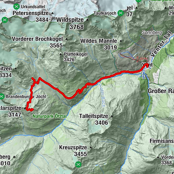
VERNAGTHÜTTE -'> GUSLARSPITZE
- Difficulty
-
medium
- Rating
-
- Starting point
-
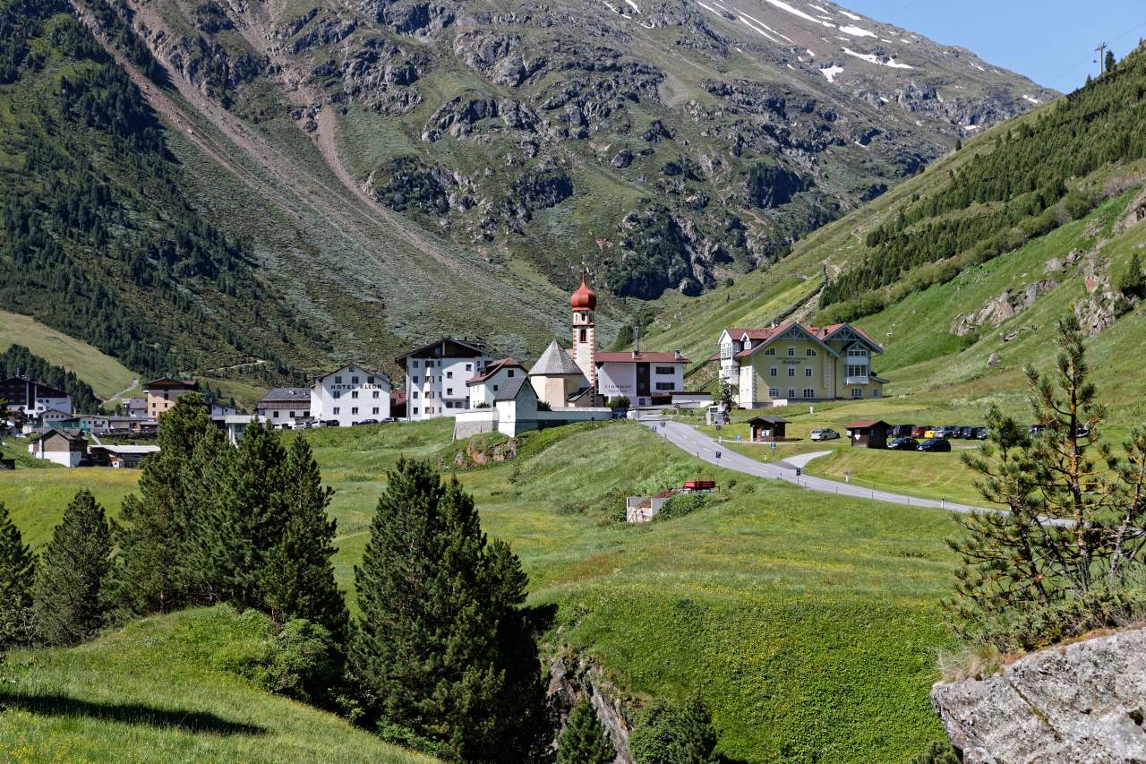
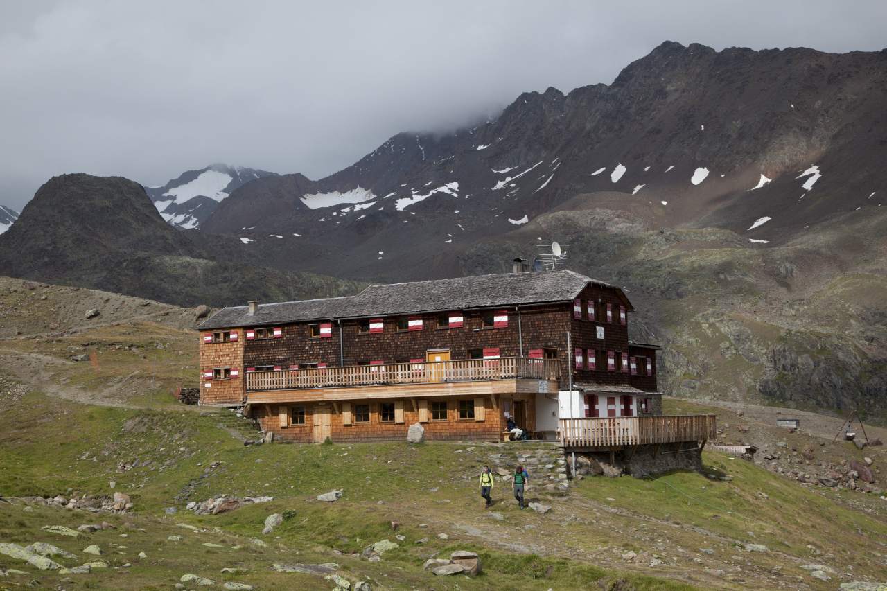
Vernagthütte
- Route
-
VentRofen2.1 kmGasthaus Rofenhof2.1 kmVernagtegg6.3 kmVernagthütte9.5 kmMittlere Guslarspitze (3,128 m)12.3 km
- Best season
-
JanFebMarAprMayJunJulAugSepOctNovDec
- Description
-
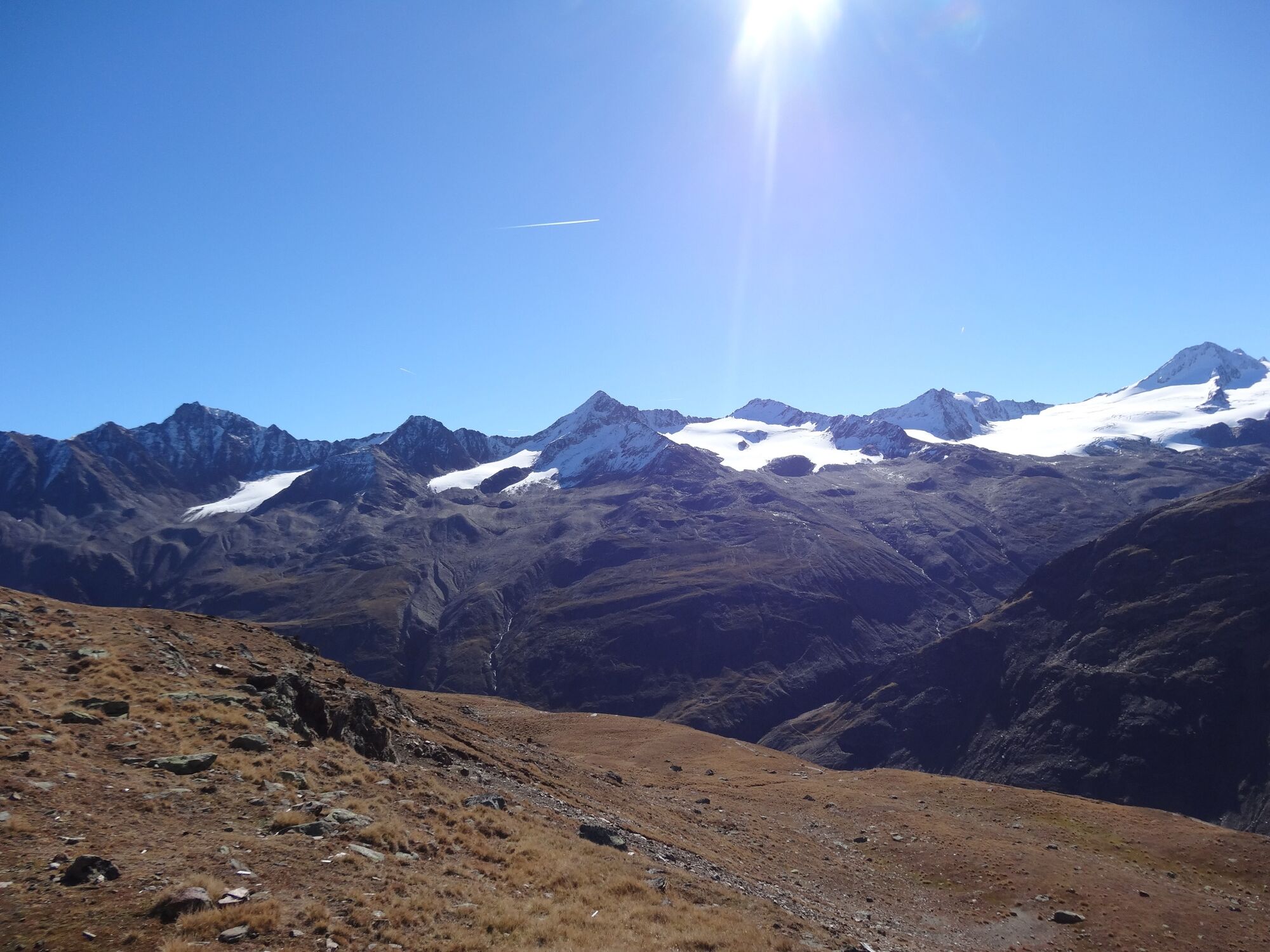
From Vent across Alpine meadows to the suspension bridge in Rofen, further on to the goods lift of Vernagthütte. Here you take the moderately climbing path to the hut via Platteiberg and Vernagtbachtal. From the Vernagthütte on the hut access path down a few meters to the south and after the first corner on the right at the signposted junction further south down to the glacier stream. Over a bridge and keeping to the right in the wide basin upwards. Soon after, in serpentines to the left on a wide moraine ridge and along this always gently ascending southward into the wide cirque between Hinterer and Vorderer Guslarspitze. Part over a scree slope up into the saddle between Hinterer and Mittlerer Guslarspitze, then keeping left on the broad ridge and gently ascending to the east to the broad summit with the large summit cross.
- Directions
-
From Vent across Alpine meadows to the suspension bridge in Rofen, further on to the goods lift of Vernagthütte. Here you take the moderately climbing path to the hut via Platteiberg and Vernagtbachtal. From the Vernagthütte on the hut access path down a few meters to the south and after the first corner on the right at the signposted junction further south down to the glacier stream. Over a bridge and keeping to the right in the wide basin upwards. Soon after, in serpentines to the left on a wide moraine ridge and along this always gently ascending southward into the wide cirque between Hinterer and Vorderer Guslarspitze. Part over a scree slope up into the saddle between Hinterer and Mittlerer Guslarspitze, then keeping left on the broad ridge and gently ascending to the east to the broad summit with the large summit cross.
- Highest point
- 3,101 m
- Endpoint
-
Mittlere Guslarspitze
- Height profile
-

- Equipment
-
Appropriate equipment such as breathable suitable outdoor clothes for the weather, ankle-high walking boots, wind-, rain- & sun protection, hat, possibly gloves, is for all hikes and tours necessary. Please bring a first-aid box, a mobile phone, a walking map and if there is no hut on the way a snack and enough to drink.
- Safety instructions
-
Moderate mountain trail; for sure-footed and experienced hikers. Good physical condition, mountain experience & mountain equipment (see notice equipment) necessary. Please pay attention to the current weather report: www.oetztal.com
- Tips
-
Reservation of the hut sleeping places necessary!
- Directions
-
The car drive to the Ötztal valley. Situated in Tirol, the Ötztal valley set off in southerly direction and is the longest side valley in the Eastern Alps. The journey with the car leads you through the Inntal valley to the entrance of the valley and further on through the valley. Among the toll motorways you can also use the country roads. A route planner will show you the easiest and most convenient way: https://www.google.at/maps
- Public transportation
- Parking
-
The following parking options are available in the mountaineering village Vent
- In summertime in front of the village (parking machine, only coins or EC card) and at the chairlift (at the ticket office of the mountain railways)
- In wintertime only at the chairlift
Cost: € 5,00 per day/car


- Author
-
The tour Guslarspitze - starting from Vernagthütte is used by outdooractive.com provided.
GPS Downloads


General info
Refreshment stop
A lot of view
Other tours in the regions
-
Vinschgau
1285
-
Schnalstal
596
-
Vent
292