


- Brief description
-
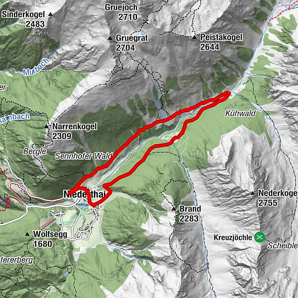
NIEDERTHAI -> car park "Sennhof" -> Bergmahderweg -> Larstigalm -> Grastalweg -> NIEDERTHAI
- Difficulty
-
easy
- Rating
-
- Starting point
-
car park Sennhof
- Route
-
Niederthai0.0 kmSennhof0.1 kmGrasstallfeld5.2 kmEnnebach7.3 kmNiederthai7.3 kmSennhof7.6 km
- Best season
-
JanFebMarAprMayJunJulAugSepOctNovDec
- Description
-
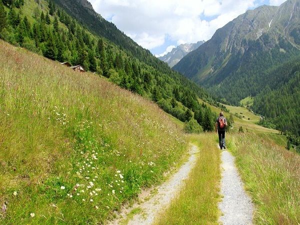
The hike starts in Niederthai at the car park "Sennhof". From there, turn right over the wooden bridge in the direction of Höfle and after about 200 meters turn right into the Bergmahderweg. You hike along the broad forest path - Bergmahderweg. The sunny spot near the Hubertuskapelle invites you to linger. The last part leads into a narrow descending hiking trail which continues over the bridge directly to the Larstigalm. Back you hike on the left side on Grastalweg, past the Grastalfeld on the wide forest road through a fairytale larch- and spruce forest. The Hotel Falknerhof is reached via a slightly downhill terrain. There continue to the right and follow the asphalt road back to the car park. Alternatively, you can also turn off at the curve, before going down to the Hotel Falknerhof. A narrow, somewhat steeper trail (shortcut) leads to the starting point, the car park.
- Directions
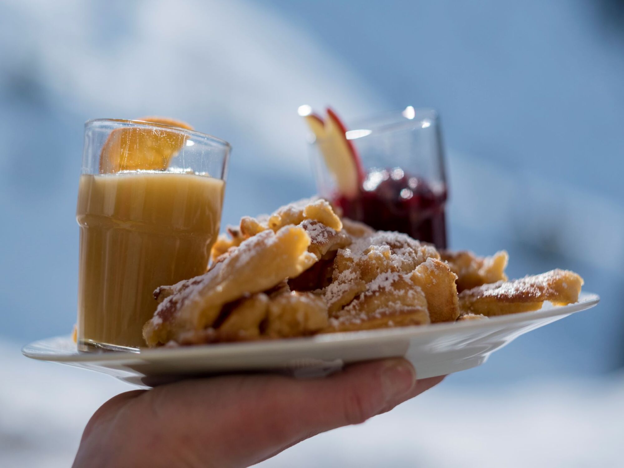
-
The hike starts in Niederthai at the car park "Sennhof". From there, turn right over the wooden bridge in the direction of Höfle and after about 200 meters turn right into the Bergmahderweg. You hike along the broad forest path - Bergmahderweg. The sunny spot near the Hubertuskapelle invites you to linger. The last part leads into a narrow descending hiking trail which continues over the bridge directly to the Larstigalm. There you can make yourself comfortable on the sun terrace. The hospitality of Ludwig Scheiber and his wife as well as the Tyrolean dishes, which are on the menu here, are especially appreciated by the numerous guests. By the way, most of the food is prepared with products from the own establishment. Back you hike on the left side on Grastalweg, past the Grastalfeld on the wide forest road through a fairytale larch- and spruce forest. The Hotel Falknerhof is reached via a slightly downhill terrain. There continue to the right and follow the asphalt road back to the car park. Alternatively, you can also turn off at the curve, before going down to the Hotel Falknerhof. A narrow, somewhat steeper trail (shortcut) leads to the starting point, the car park.
- Highest point
- 1,778 m
- Endpoint
-
car park Sennhof
- Height profile
-

- Equipment
-
Appropriate equipment such as breathable suitable outdoor clothes for the weather, ankle-high walking boots, wind-, rain- & sun protection, hat, possibly gloves, is for all hikes and tours necessary. Please bring a first-aid box, a mobile phone, a walking map and if there is not hut on the way a snack and enough to drink.
- Safety instructions
- Additional information
- Directions
-
The car drive to the Ötztal valley. Situated in Tirol, the Ötztal valley set off in southerly direction and is the longest side valley in the Eastern Alps. The journey with the car leads you through the Inntal valley to the entrance of the valley and further on through the valley. Among the toll motorways you can also use the country roads. A route planner will show you the easiest and most convenient way: https://www.google.at/maps
- Public transportation
-
Travel safe and comfortable with the train to the Ötztal Bahnhof train station. Last stop and exit point is the train station Ötztal Bahnhof. Afterwards you can travel smoothly and quick with the public transport or our local taxi companies through the valley to your desired destination. Please find the current bus timetable here: http://fahrplan.vvt.at
- Parking
-
In Niederthai the following parking facilities are available:
- car park "Sennhof" | one day ticket for cars € 5,00, fee required from 7:00 am till 6:30 pm | the car park for people with handicap is free, please deposit your handicap ID apparent in your car | Buses park for free


- Author
-
The tour circular walk Bergmahderweg - Niederthai is used by outdooractive.com provided.


General info
-
Ötztal
1108
-
Niederthai
385


