
- Brief description
-
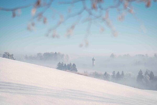
Walk at a leisurely pace uphill and a little more rapid downhill - the tour on the the city mountain offers a broad variety and possibilities to stop for a bite to eat.
- Difficulty
-
difficult
- Rating
-
- Starting point
-
Mitterndorfer Str. Kufstein
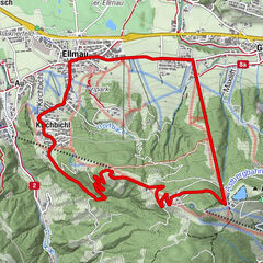
- Route
-
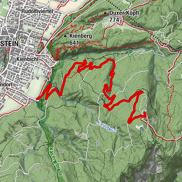
Kufstein0.2 kmWaldkapelle1.7 kmKrampuswand2.3 kmRossmoos (956 m)3.8 kmAschenbrenner (1,135 m)5.2 km
- Best season
-
AugSepOctNovDecJanFebMarAprMayJunJul
- Description
-
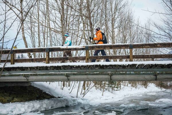
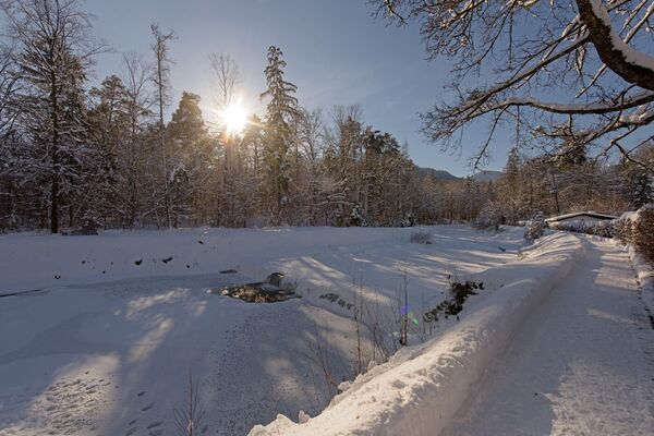
Starting at the end of Mitterndorfer Str., the toboggan run goes uphill along the toboggan run, past the forest chapel and the Krampuswand. Shortly afterwards you reach a crossroads where the path branches off to the left to the Duxer Alm, but keep going straight uphill over serpentines to the Berghaus Aschenbrenner. At the same time, you can visit the toboggan run so that you are well prepared for all the curves on the descent. After a breather at the Taxauers in the cosy Berghaus, you will rapidly descend the same route on the natural toboggan run. Toboggan rental is possible in the Berghaus during opening hours (please note the closing day!).
- Highest point
- 1,116 m
- Endpoint
-
Berghaus Aschenbrenner
- Height profile
-

- Equipment
-
Sturdy footwear with a good profile,
Clothing adapted to winter temperatures (warm, breathable, etc.),
Food and drink,
First aid equipment,
Mobile phone with full battery,
Hiking map and guide literature,
Sun protection (sunglasses, sunscreen and cap),
Telescopic poles,
Shoe spikes for walking on ice or snow - Directions
-
A12 exit Kufstein Süd/ Nord to the centre, Josef-Egger-Str. and then Pienzenauerstr. to the Motorikpark car park. From there it is an approx. 5-minute walk south along the edge of the forest to the starting point of the hike.
- Public transportation
-
Take the city bus lines 1 or 2 to the Kufstein fire brigade or number 3 (out of town) to the Kufstein Polizei stop. Then follow Weißachstr. and Mitterndorferstr. to the end. With the KufsteinerlandCard within the region bus free of charge.
- Parking
-
Motorikpark, free of charge.
- Author
-
The tour Aschenbrenner Kufstein is used by outdooractive.com provided.


-
Kufsteinerland
190
-
Kufstein
57