
- Brief description
-
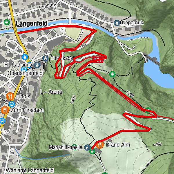
LÄNGENFELD FISCHBACHBRÜCKE -> forestpath direction Gries -> BRANDALM
- Difficulty
-
easy
- Rating
-
- Starting point
-
Längenfeld at the Fischbach bridge
- Route
-
Längenfeld (1,179 m)0.1 kmOberlängenfeld0.6 kmBrand1.7 kmMariahilfkapelle1.7 km
- Best season
-
JanFebMarAprMayJunJulAugSepOctNovDec
- Description
-
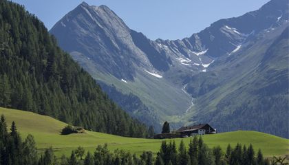
In the center of Längenfeld an der Fischbachbrücke the hike begins on the right bank of the Fischbach. You follow the road for a few meters and then decide on the forest path or the Felsensteig (about 250 steps) for the ascent to Gries / Brandalm. After a few bends signposts point to the turnoff towards Gries. We stay on the forest road towards fire and soon reach the snack station on a meadow-covered high plateau. From here you have a magnificent view of the valley basin of Längenfeld and the surrounding mountains of the Ötztal.
- Directions
-
150 m upstream from the Fischbach bridge until the forest road branches off to the right towards Brand Alm. The path is moderately ascending. After 40 minutes you reach the beautiful plateau on the Brand Alm with a magnificent valley view.
- Highest point
- 1,383 m
- Endpoint
-
Brandalm
- Height profile
-

- Equipment
-
It is recommended to wear hiking equipment such as breathable and weather-adapted outdoor clothing.
- Safety instructions
-
Easy hike; suitable for beginners and walkers. Please pay attention to the current weather report.
- Tips
-
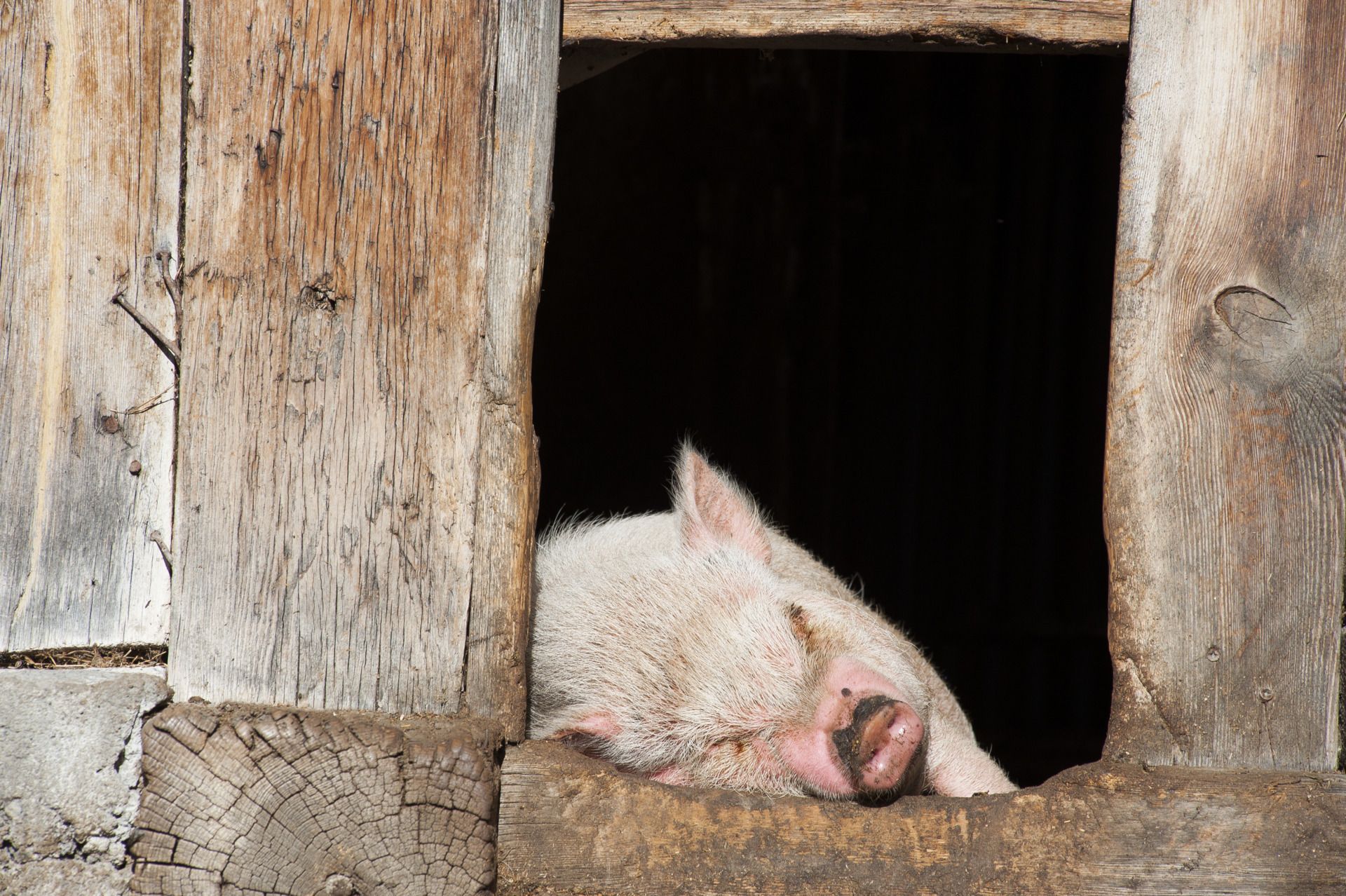
Look out for the pot-bellied pigs, goats, ducks ...
- Additional information
- Directions
-
The car drive to the Ötztal valley. Situated in Tirol, the Ötztal valley set off in southerly direction and is the
longest side valley in the Eastern Alps. The journey with the car leads you through the Inntal valley to the
entrance of the valley and further on through the valley. Among the toll motorways you can also use the country
roads. A route planner will show you the easiest and most convenient way: https://www.google.at/maps
- Public transportation
-
Travel safe and comfortable with the train to the Ötztal Bahnhof train station. Last stop and exit point is the
train station Ötztal Bahnhof. Afterwards you can travel smoothly and quick with the public transport or our local
taxi companies through the valley to your desired destination. Please find the current bus timetable here:
http://fahrplan.vvt.at
- Parking
-
The following parking facilities are available in Längenfeld:
- next to the old fire station (entrance to campsite) - free of charge
- Sports center - (football pitch and swimming pool) - free of charge
- Center of Längenfeld (small number of parking spaces) free of charge
- Author
-
The tour Brandalm - Längenfeld is used by outdooractive.com provided.


General info
-
Ötztal
1107
-
Längenfeld - Huben - Gries
354