© TVB Kufsteinerland

© TVB Kufsteinerland - SMART DESIGN

© TVB Kufsteinerland - Hannes Dabernig

- Brief description
-
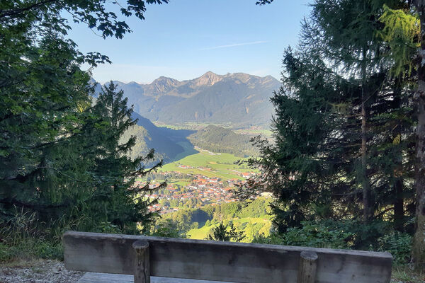
Short circular hike around the Aschingeralm with breathtaking views.
- Difficulty
-
easy
- Rating
-
- Starting point
-
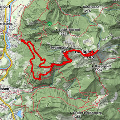
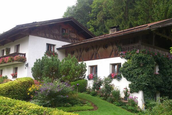
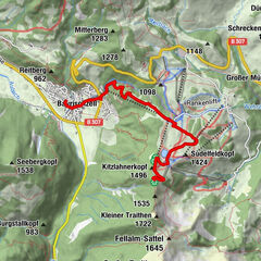
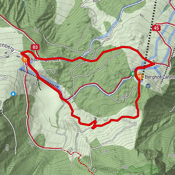
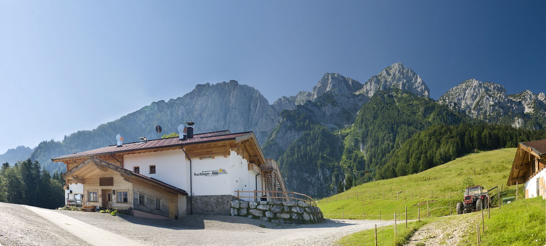
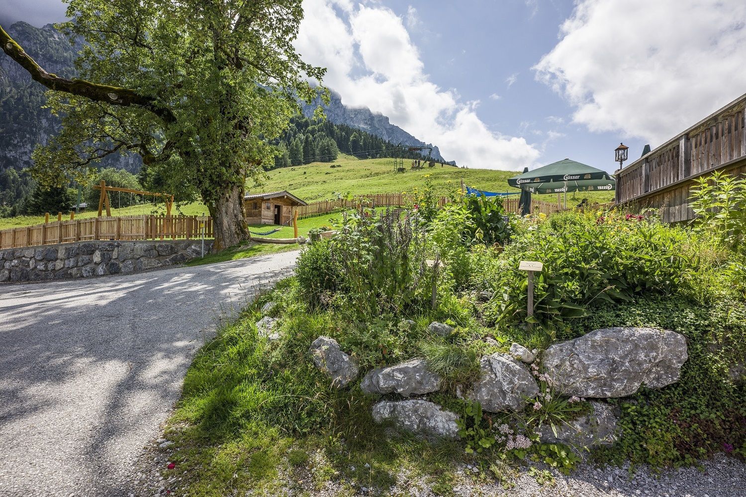
Aschingeralm
- Route
-
Schmiedereralm (951 m)0.9 kmBerghof Zahmer Kaiser1.3 kmAschinger Alm2.8 km
- Best season
-
JanFebMarAprMayJunJulAugSepOctNovDec
- Description
-
The car can be parked directly at the Aschingeralm. Below the alpine pasture the forest path leads towards the lift of Durchholzen. While still in the forest, the path turns right again uphill towards the Zahmer Kaiser mountain farm. At the top of the mountain, turn right through the forest with a view of the steep northern walls of the Zahmer Kaiser back to the Aschingeralm.
- Highest point
- 1,028 m
- Endpoint
-
Aschingeralm
- Height profile
-

- Equipment
-
Outdoor clothing appropriate to the weather (good footwear, rain protection, breathable clothing...)
Snacks (e.g. fruit, muesli bars, wholemeal breads) and drinks (allow for sufficient liquid)
First aid equipment
Mobile phone with full battery
Hiking map and guide literature
Sun protection (sunscreen and glasses, cap)
Bivouac bag - Directions
-
It is possible to reach the Aschinger-Alm by car.
- Parking
-
Aschinger-Alm, free of charge.

- Author
-
The tour Around the Aschingeralm is used by outdooractive.com provided.
GPS Downloads


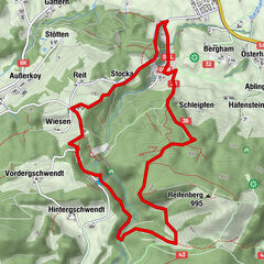
Other tours in the regions
-
Kaiserwinkl
1884
-
Rettenschöss
613