© TVB Kufsteinerland - Oliver Soulas / Tirol Werbung

© TVB Kufsteinerland - Oliver Soulas / Tirol Werbung

© TVB Kufsteinerland - Oliver Soulas / Tirol Werbung

- Brief description
-
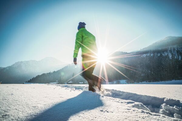
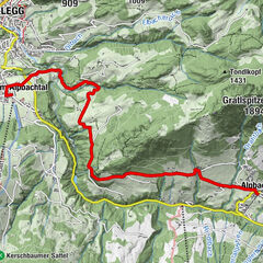
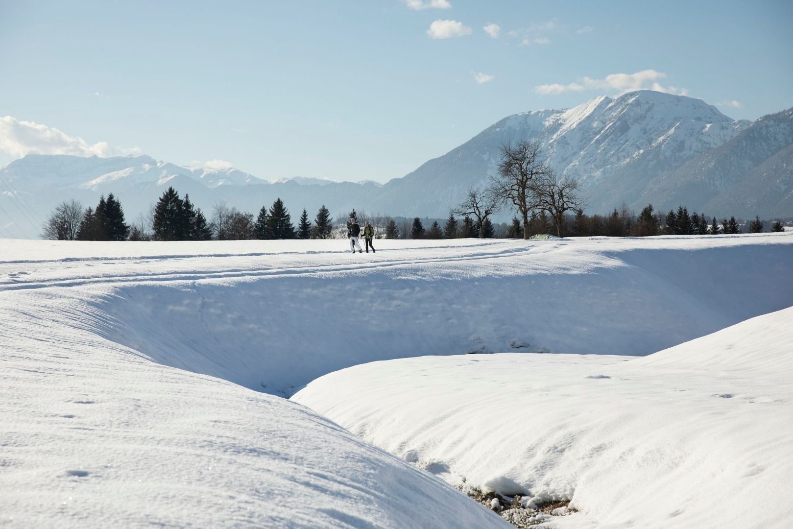
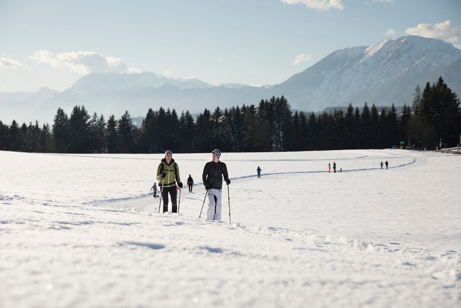
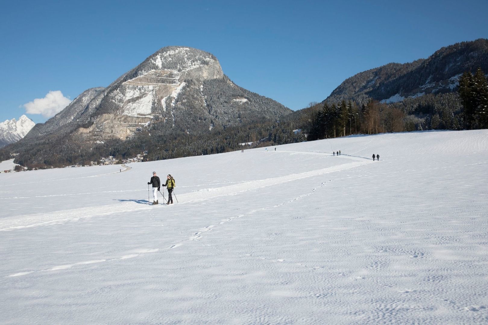
Easy winter hiking trail along the panoramic trail with a fantastic view.
- Difficulty
-
easy
- Rating
-
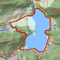
- Starting point
-
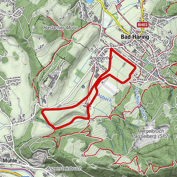
Bad Häring, district Schönau
- Route
-
Bad HäringSchönau0.0 kmSchönau3.9 kmBad Häring4.0 km
- Best season
-
AugSepOctNovDecJanFebMarAprMayJunJul
- Description
-
The beautiful winter hiking trail is the path drawn in winter especially along the panoramic trail towards the Litzl lift. You start in Schönauer Straße and walk across the snowy field in the direction of Heimberg. Before reaching the settlement, the path makes a right turn and leads to Feldgasse. Passing the Forstgargen you walk in the direction of Weiler Ag and further along the Gasteigerbach and in the direction of the Rehazentrum. Shortly before reaching Schönauer Straße, the path leads away from it again and back to Weiler Ag, from there back to the starting point.
- Highest point
- 612 m
- Endpoint
-
Bad Häring, district Schönau
- Height profile
-

- Equipment
-
Sturdy shoes with a good profile
Clothing adapted to winter temperatures (warm, breathable, ...)
Catering First aid equipment
Mobile phone with full battery Hiking map and guide literature
Sun protection (sunglasses, sun cream and cap)
Telescopic poles
Shoe spikes for walking on ice or snow - Directions
-
From Kirchbichl via the B171 turn off onto the L208/ From Schwoich via the L208 to the parking lot directly on the main road/ Schönauer Straße.
- Public transportation
-
Take the bus line 4026 to the stop "Bad Häring Feuerwehr". With the KufsteinerlandCard within the region bus free of charge.
- Parking
-
Panorama cross-country ski run Bad Häring
- Author
-
The tour Premium winter hiking trail - panoramic trail is used by outdooractive.com provided.
GPS Downloads


Other tours in the regions
-
Region Hohe Salve
176
-
Bad Häring
63