© TVB Kufsteinerland - Lolin

© TVB Kufsteinerland - Stefan Brigola

- Brief description
-
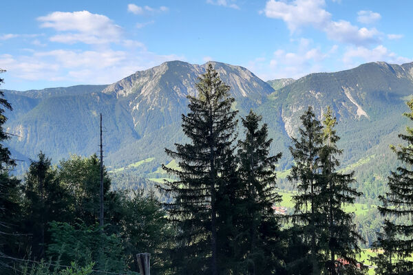
Hiking to discover the beautiful villages in the Kufsteinerland. Visit the lively Haflingers in Ebbs on the cosy village tour.
- Difficulty
-
easy
- Rating
-
- Starting point
-
Center of Ebbs/Curch
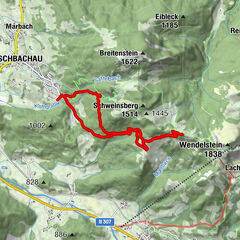
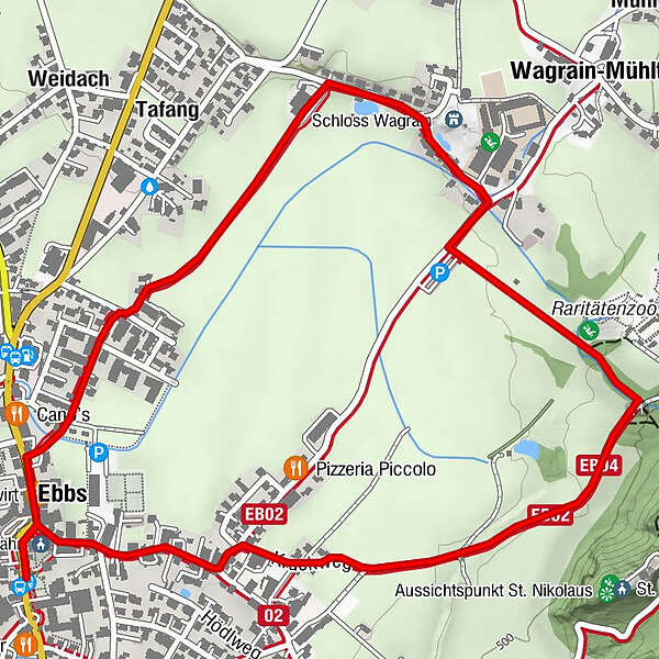
- Route
-
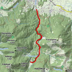
Mariae Himmelfahrt0.1 kmWagrain-Mühltal2.1 kmEbbs3.6 kmMariae Himmelfahrt3.6 km
- Best season
-
JanFebMarAprMayJunJulAugSepOctNovDec
- Description
-
From the village centre we follow the road between the church and the Oberwirt, at the Messerschmied distillery we turn left and walk to the right until we reach the edge of the forest. After a small bridge in the light forest we turn downhill and follow the little brook, passing the Rare Species Zoo. We reach the asphalt road and keep to the right. After about 100 m we turn left to the castle Wagrain and Fohlenhof and turn left again at the "Schloßbauern". Over the fields, we continue on to the village centre again.
- Highest point
- 496 m
- Endpoint
-
Starting point
- Height profile
-

- Equipment
-
Outdoor clothing appropriate to the weather (good footwear, rain protection, breathable clothing...)
Snacks (e.g. fruit, muesli bars, wholemeal breads) and drinks (allow for sufficient liquid)
Mobile phone with full battery
Hiking map and guide literature
Sun protection (sunscreen and glasses, cap) - Directions
-
From the Inntal motorway A12 take the Niederndorf/Oberaudorf exit.
- Public transportation
-
From Kufstein, take bus line 4030 in the direction of Ebbs and get off at the Ebbs Schulzentrum stop.
With the KufsteinerlandCard within the region bus free of charge. - Parking
-
Community office or church square, free of charge.

- Author
-
The tour Haflinger circuit Ebbs is used by outdooractive.com provided.
GPS Downloads


Other tours in the regions
-
Kufsteinerland
2116
-
Ebbs
634