© TVB Kufsteinerland - Sportalpen Marketing

© TVB Kufsteinerland - Sportalpen Marketing

- Brief description
-
Difficult 2-day mountain tour from Kufstein with the Kaiserlift over the Güttlersteig with surefootedness to Sonneck and overnight stay in the Kaisertal (Anton-Karg-Haus or Hans-Berger-Haus)
- Difficulty
-
difficult
- Rating
-
- Starting point
-
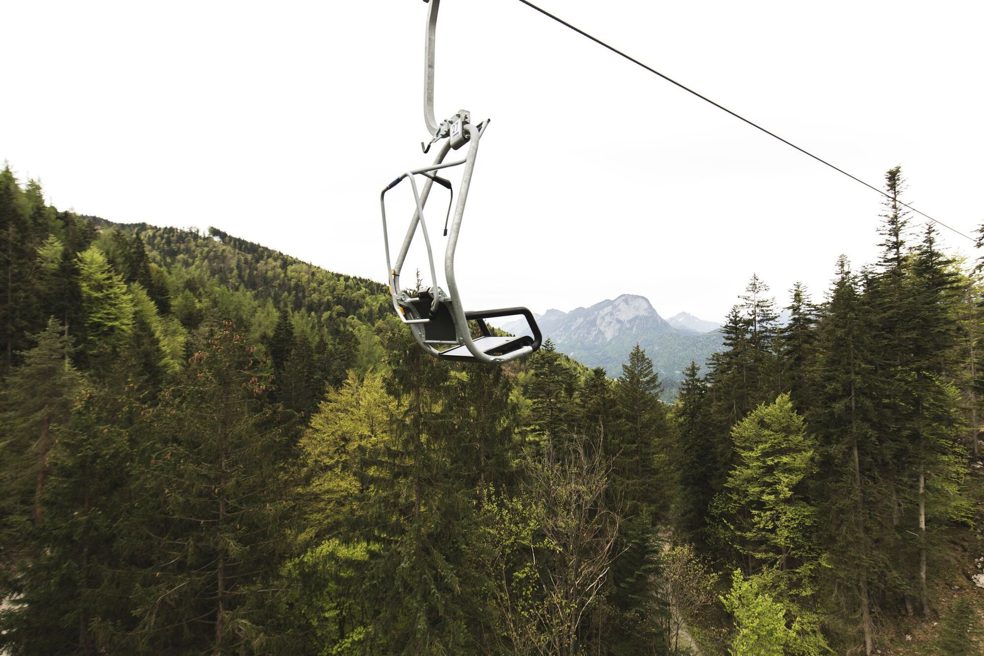
Kaiserlift valley station
- Route
-
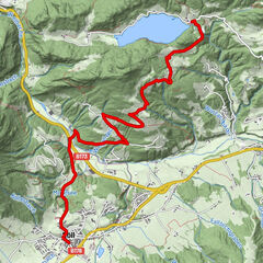
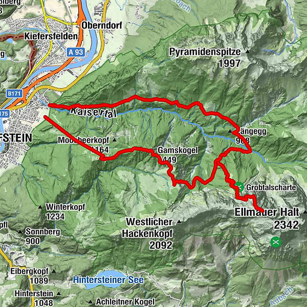
KufsteinKaiserlift (500 m)0.0 kmDuxer Alm0.1 kmJahnhügel (1,273 m)1.2 kmMittelstation Duxeralm1.3 kmBrentenjoch-Alm2.7 kmGamskogel (1,449 m)4.6 kmOberes Gamskarköpfl (2,040 m)12.7 kmSonneck (2,260 m)13.4 kmAnton-Karg-Haus19.1 kmAntoniuskapelle24.2 kmKaisertal25.2 kmBerg'k'hof Kaisertal - Alpine Hideaway25.5 kmPfandlhof25.5 kmPfandlkapelle25.7 kmGasthaus Veitenhof26.7 kmZottenkapelle27.0 kmKufstein28.2 km
- Best season
-
JanFebMarAprMayJunJulAugSepOctNovDec
- Description
-
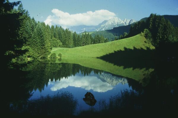
A difficult hike that rewards you with a summit in the middle of the rugged cliffs of the Wilder Kaiser. Mountain experience, sure-footedness and good physical condition are absolute prerequisites for this trail!
Day one:
The hike starts at the top station of the Kaiserlift, as it is advisable to take the lift up in the morning. Over the Steinbergalmen you can still enjoy the wonderful view of the Koasa until after a short stretch you descend towards Bettlersteig and turn right towards Güttlersteig. This is where the part begins that requires a good surefootedness. The effort is worth it, on the Sonneck you can expect the best views over the peaks of the emperor and into the Inn valley.
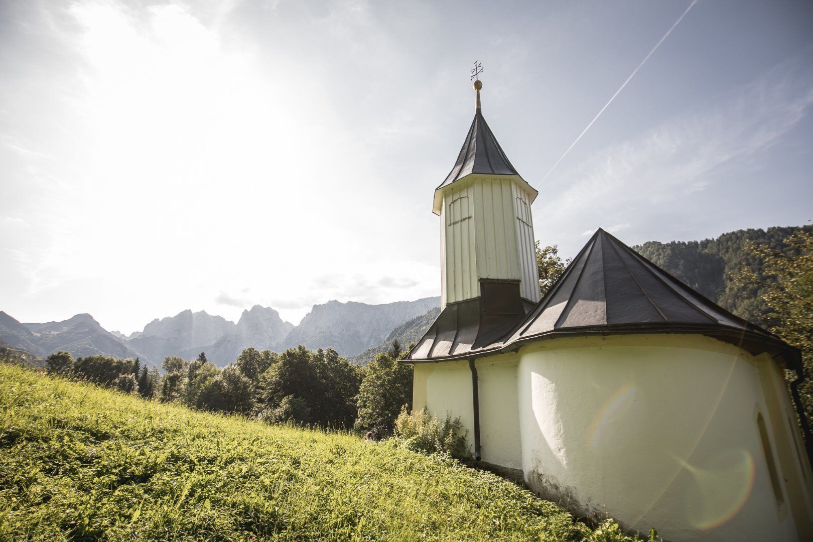
Downhill again via the Güttlersteig to the Kaisertal to the Anton-Karg-Haus (Hinterbärenbad) or Hans-Berger-Haus. It is best to spend the night there, otherwise it can be very late.
Day two:
The 2nd day is rather meant for loosening the muscles. It is always a contemplative walk out of the Kaisertal, past many huts and inns and finally the approx. 280 steps out of the Kaisertal.
Mountain experience and good physical condition are absolute prerequisites for this route! - Highest point
- 2,241 m
- Endpoint
-
Kaiseraufstieg
- Height profile
-

- Equipment
-
Outdoor clothing appropriate to the weather (good footwear, rain protection, breathable clothing...)
Snacks (e.g. fruit, muesli bars, wholemeal breads) and drinks (allow for sufficient liquid)
First aid equipment
Mobile phone with full battery
Hiking map and guide literature
Sun protection (sunscreen and glasses, cap)
Bivouac bag - Directions
-
From the Inntal motorway A12 take the exit Kufstein Nord.
- Public transportation
-
Take the city bus line 1 to the stop "Meraner Straße".
With the KufsteinerlandCard within the region bus free of charge. - Parking
-
Valley station Kaiserlift, subject to a charge.
- Author
-
The tour Güttlersteig to Sonneck Wilder Kaiser is used by outdooractive.com provided.
GPS Downloads


Other tours in the regions
-
Kufsteinerland
2117
-
Scheffau am Wilden Kaiser
615