- Brief description
-
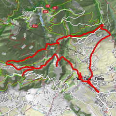
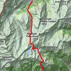
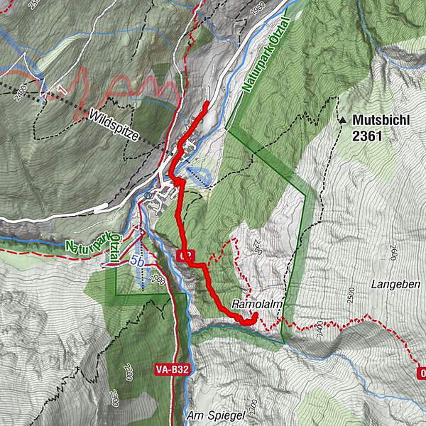
VENT -> Ramolalm -> VENT
- Difficulty
-
medium
- Rating
-
- Starting point
-
Vent
- Route
-
Pfarrkirche hl. Jakob0.1 kmVent0.4 kmGasthaus Pension Obervent0.6 km
- Best season
-
JanFebMarAprMayJunJulAugSepOctNovDec
- Description
-
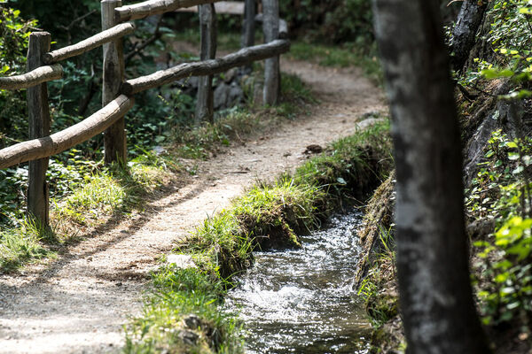
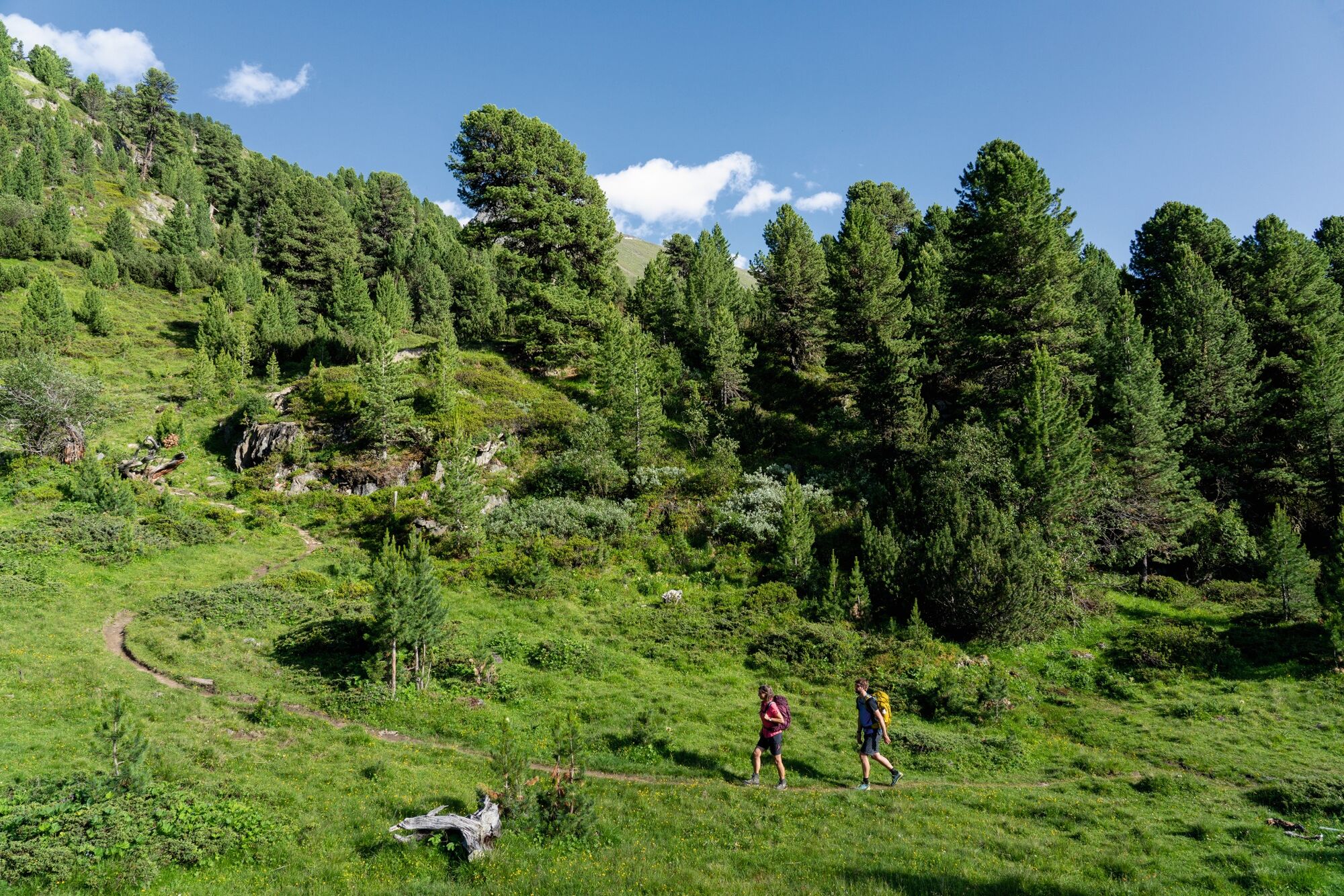
This history-charged viewpoint Ramolalm, across the village of Vent, can be reached in a good hour’s hiking through a pristine Swiss pine forest with a mystical air. The view rewards for the effort of climbing up. The fabulous Similaun, the chunky Talleitspitze or the famous Ötztal Wildspitze mountains are all within reach.
- Directions
-
Steep ascent through the beautiful Zirbenwald.
- Highest point
- 2,197 m
- Endpoint
-
Ramolalm
- Height profile
-

- Equipment
-
Appropriate equipment such as breathable suitable outdoor clothes for the weather, ankle-high walking boots, wind-, rain- & sun protection, hat, possibly gloves, is for all hikes and tours necessary. Please bring a first-aid box, a mobile phone, a walking map and if there is no hut on the way a snack and enough to drink.
- Safety instructions
-
Easy hike; suitable for beginners and walkers. Please pay attention to the current weather report: www.oetztal.com/de/sommer.html
- Tips
-
The rich flora we encounter along the way is notable indeed.
For families: Geocaching, treasure hunt for children - to the Ramolalm.
- Additional information
-
The Ramoalm is not managed!
- Directions
-
The car drive to the Ötztal valley. Situated in Tirol, the Ötztal valley set off in southerly direction and is the longest side valley in the Eastern Alps. The journey with the car leads you through the Inntal valley to the entrance of the valley and further on through the valley. Among the toll motorways you can also use the country roads. A route planner will show you the easiest and most convenient way: www.google.at/maps
- Public transportation
-
Travel safe and comfortable with the train to the Ötztal Bahnhof train station. Last stop and exit point is the train station Ötztal Bahnhof. Afterwards you can travel smoothly and quick with the public transport or our local taxi companies through the valley to your desired destination. Please find the current bus timetable here: fahrplan.vvt.at
- Parking
-
The following parking options are available in the mountaineering village Vent
- In summertime in front of the village (parking machine, only coins or EC card) and at the chairlift (at the ticket office of the mountain railways)
- In wintertime only at the chairlift
Cost: € 6,00 per day/car

- Author
-
The tour Vent - Ramolalm - Vent is used by outdooractive.com provided.


General info
-
Vinschgau
1285
-
Schnalstal
596
-
Vent
292