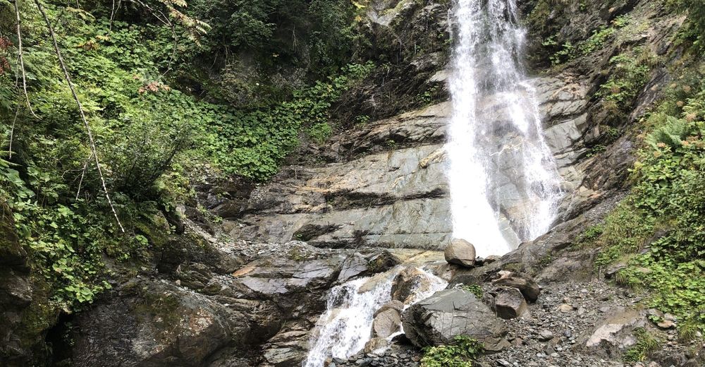
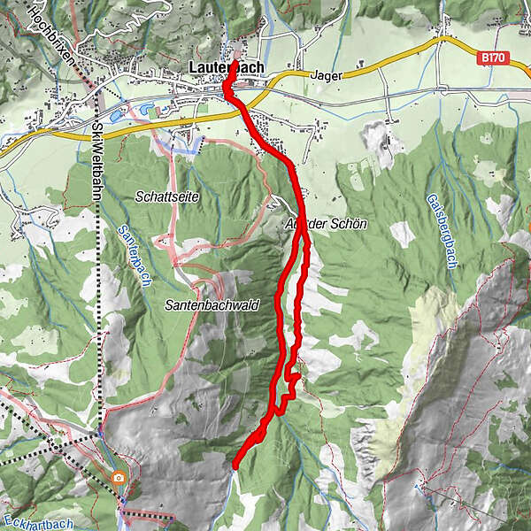
Lauberbach - Wasserfall Brixenbach - Brixenbachalm -Lauberbach,Brixen im Thale, Österreich Brixen im Thale, Österreich

Hiking

Tour data
10.27km
806
- 1,218m
447hm
458hm
02:56h
- Brief description
-
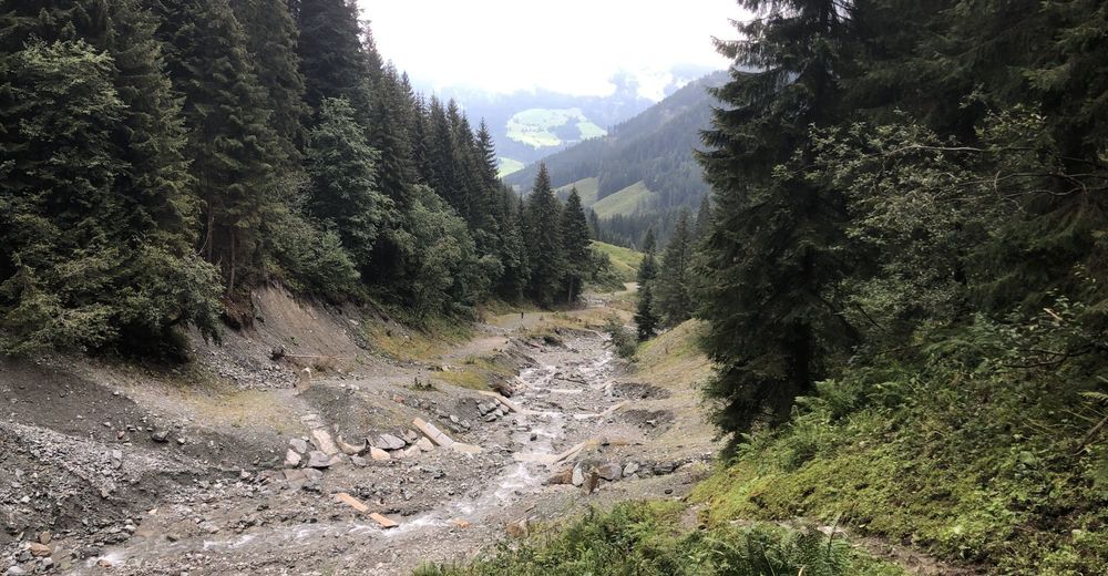
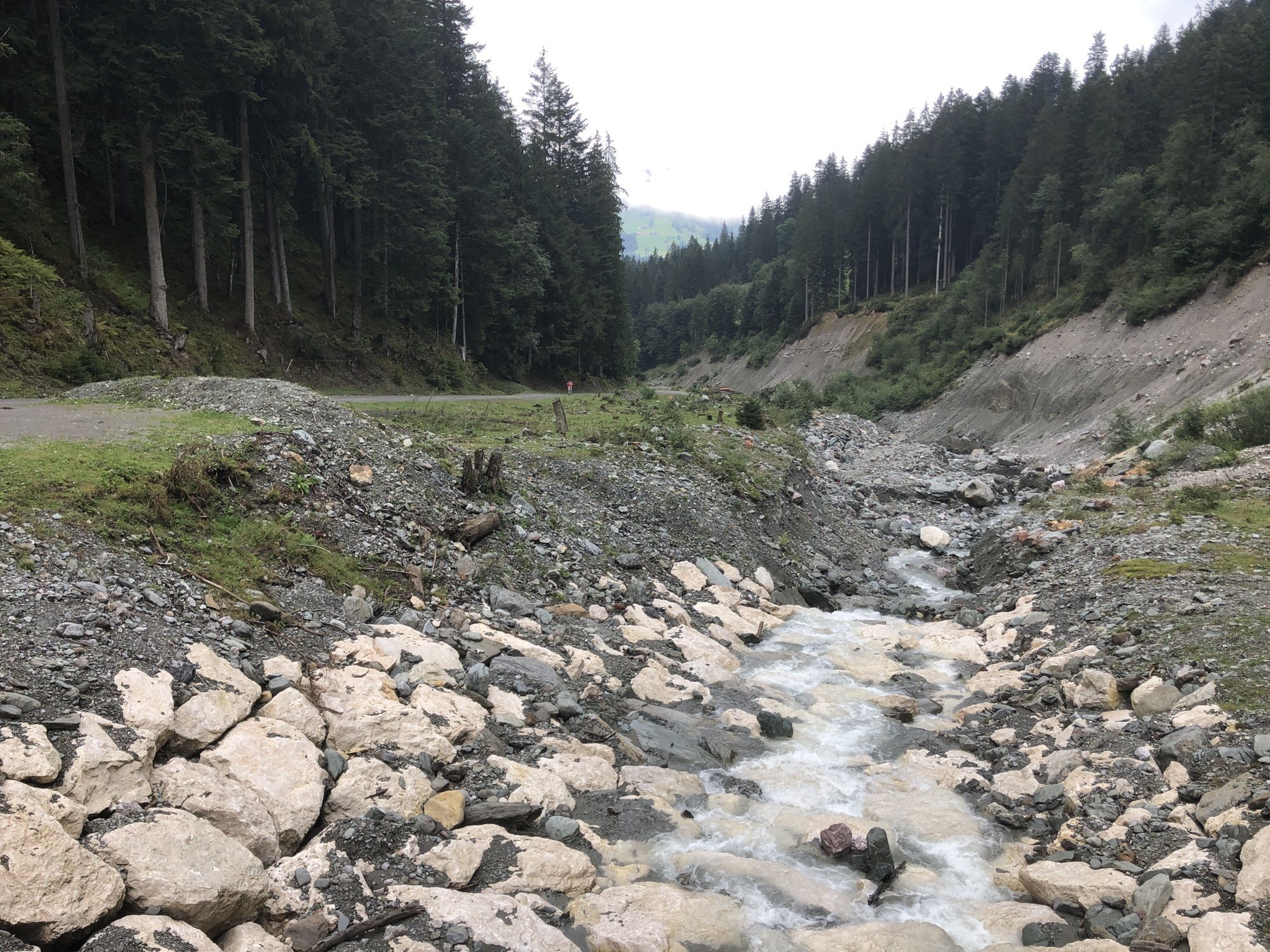
Wanderung zum Wasserfall Brixenbach
- Difficulty
-
easy
- Rating
-
- Starting point
-
Reitlwirt / Unterführung
- Route
-
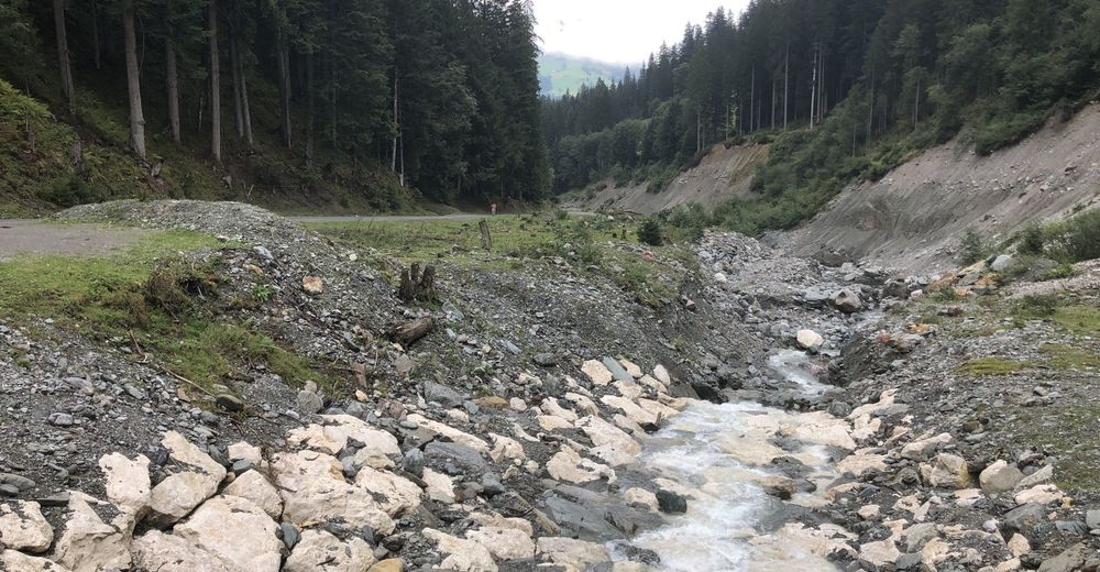
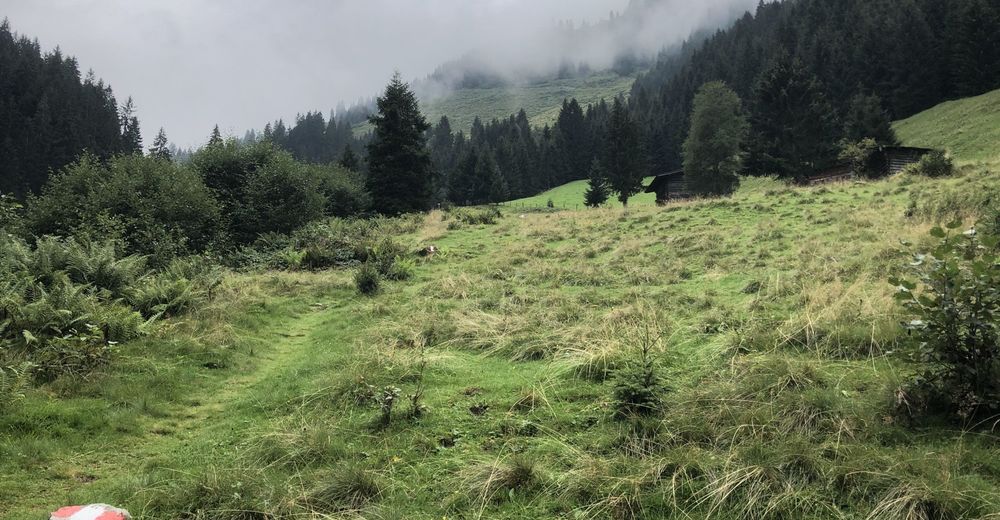
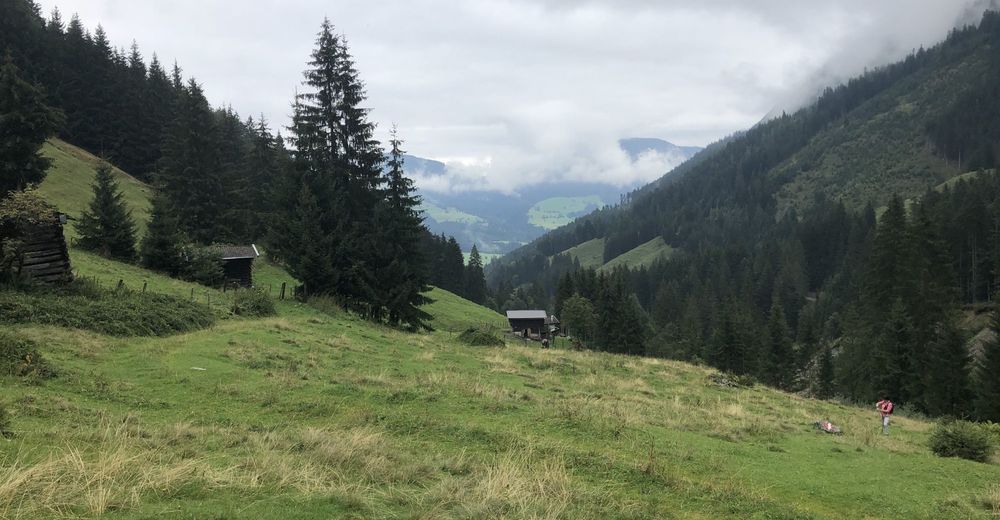
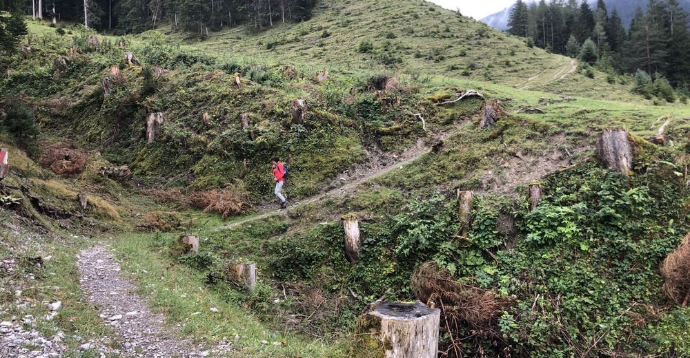
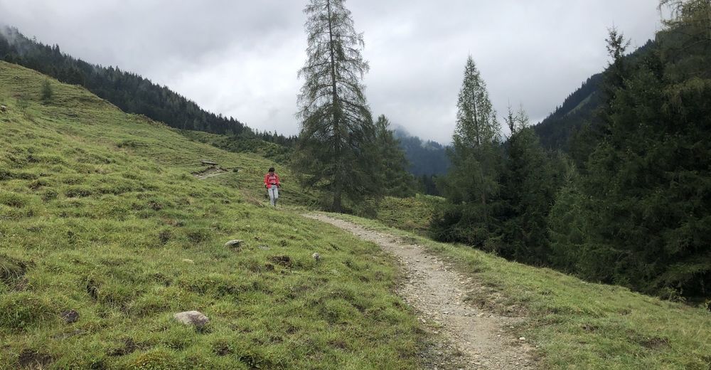
Lauterbach0.2 kmBrixenbachalm6.4 kmLauterbach9.9 km
- Best season
-
JanFebMarAprMayJunJulAugSepOctNovDec
- Highest point
- 1,218 m
- Endpoint
-
Reitlwirt/ Unterführung
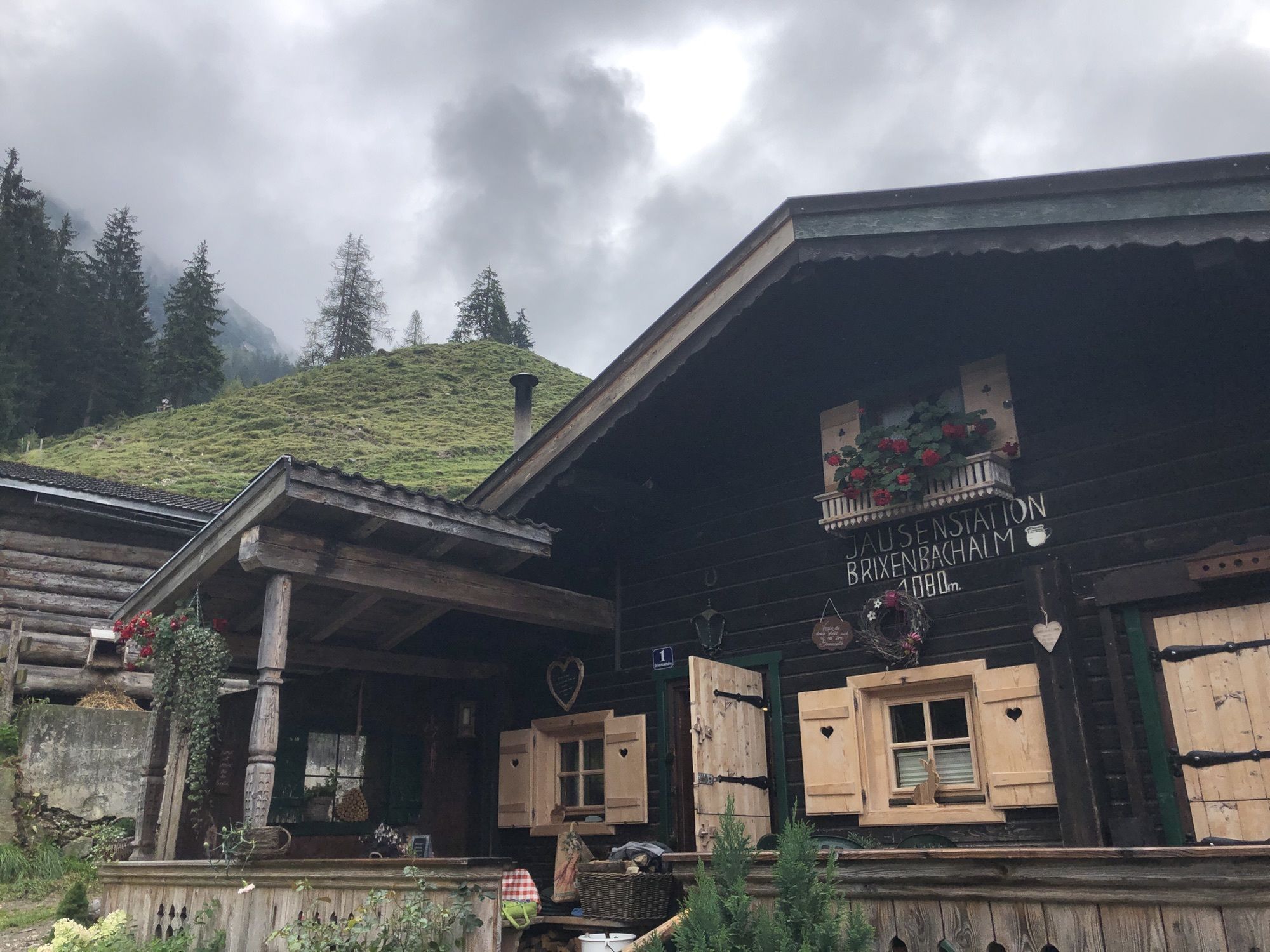
- Rest/Retreat
-
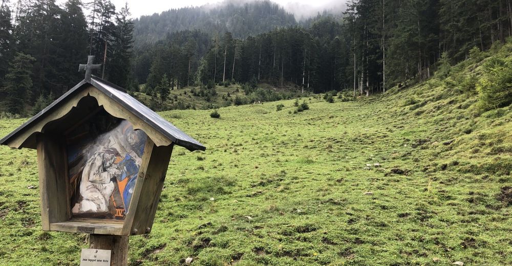
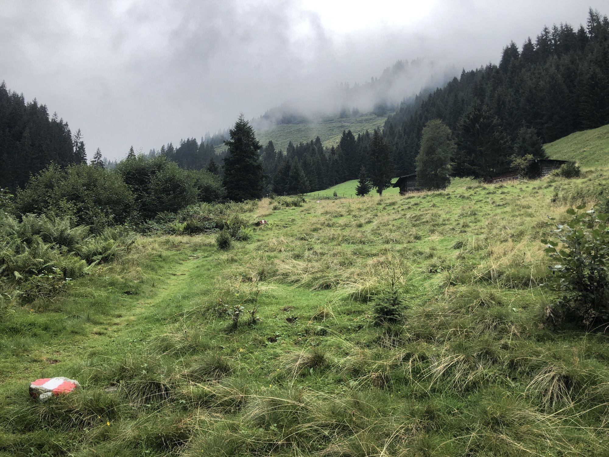
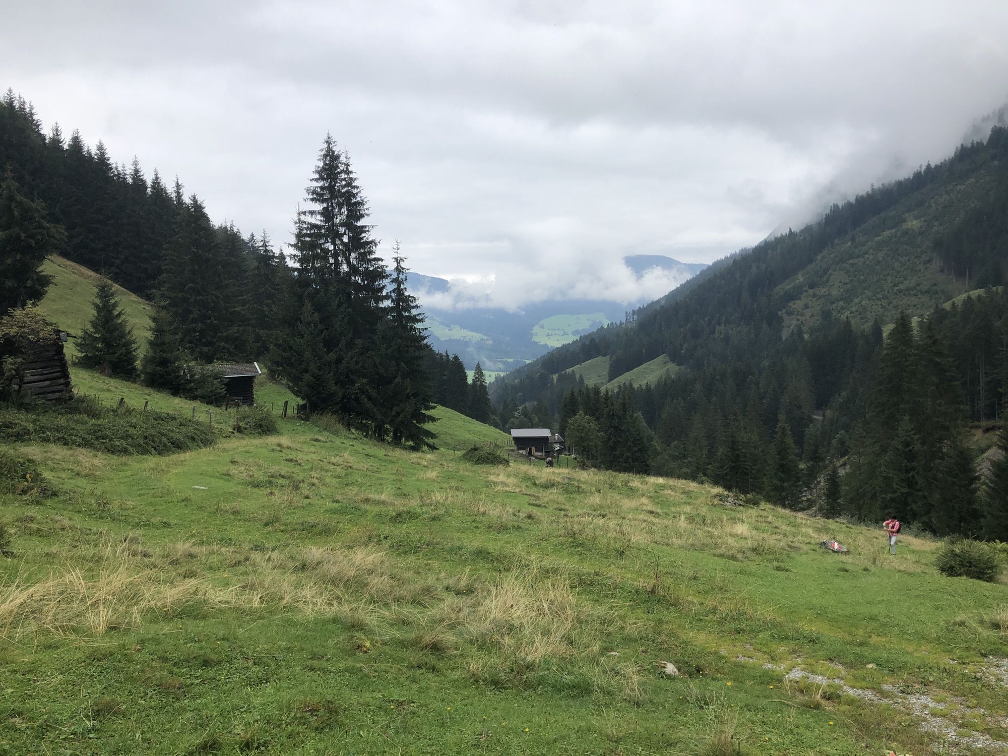
Brixenbachalm


- Source
- H.L.
GPS Downloads


Other tours in the regions


