
- Difficulty
-
medium
- Rating
-
- Starting point
-
Galtür village square
- Route
-
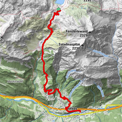
Galtür (1,582 m)EggSonnenkopf2.1 kmSchlafhaus7.2 kmFriedrichshafener Hütte7.2 kmPiel10.2 kmMühl10.5 kmAußertschafein10.5 kmTschafein10.9 kmMaas12.2 kmUnterrain12.4 kmGaltür (1,582 m)13.1 kmEgg13.1 km
- Description
-
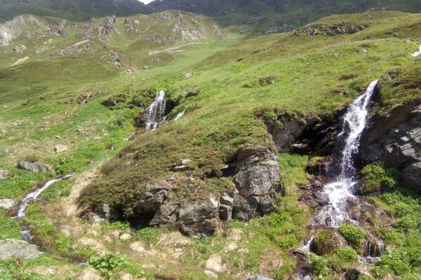
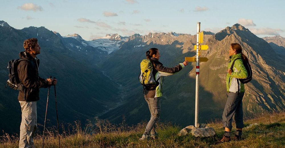
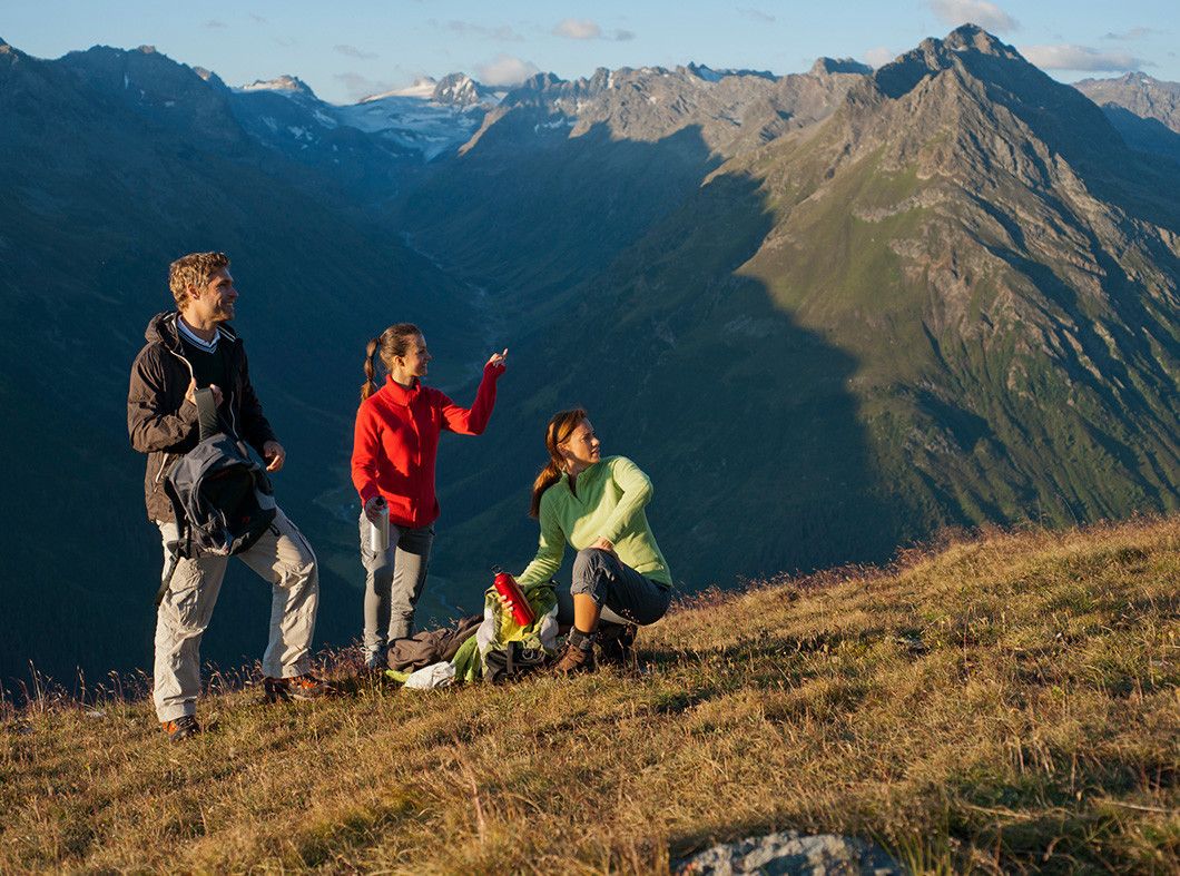
Coming from the village square in Galtür cross the bridge at Vermuntbach. Then follow the route to the left, climbing to the branch-off section which has a signpost for Sonnenkogel. From here the hike proceeds on narrow meadow paths to the Sonnenkogel which promises a wonderful view to the south into Jamtal. After 100m there is another signpost for the Tschaffein descent and the themed path - the 1000 metres altitude - Friedrichshafener lodge trail; this proceeds through avalanche barriers up to the road heading for Friedrichshafener lodge. Return section: Same route back or via the road to the car park for Friedrichshafener lodge.
- Highest point
- 2,327 m
- Endpoint
-
Galtür village square
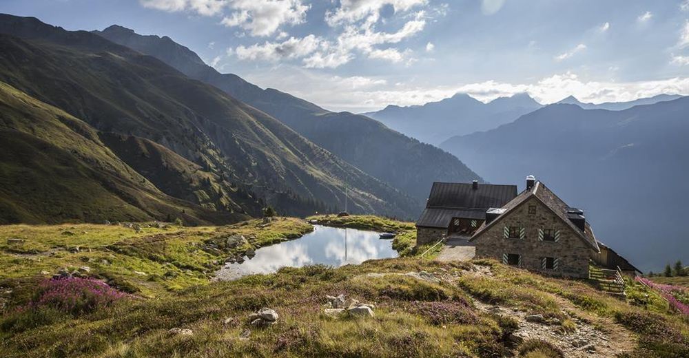
- Rest/Retreat
-
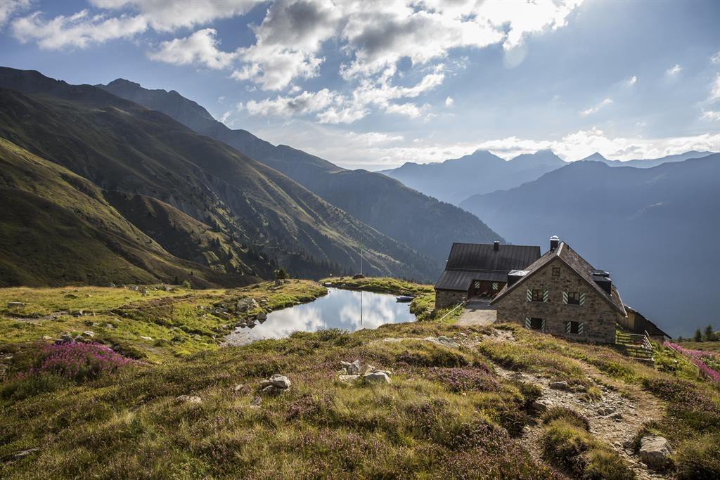
Friedrichshafener Hütte
- Ticket material
-
TVB Paznaun-Ischgl Infobüro Galtür
- Directions
-
With the bus to Galtür village square. By car to Galtür center, close to the village square to the parking place Arzthaus
- Parking
-
parking place Arzthaus


Trail conditions
-
Paznaun - Ischgl
983
-
Galtür
252