- Difficulty
-
medium
- Rating
-
- Starting point
-
Galtür village square
- Route
-
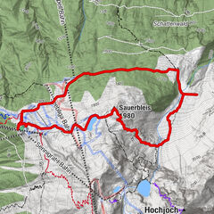
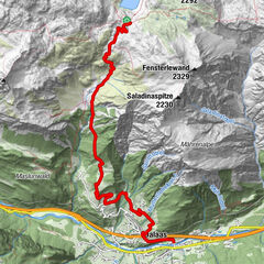
Galtür (1,582 m)0.0 kmEgg0.1 kmEgg10.4 kmGaltür (1,582 m)10.4 km
- Description
-
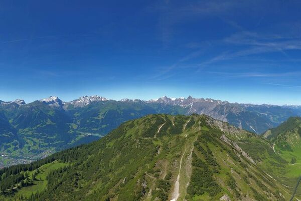
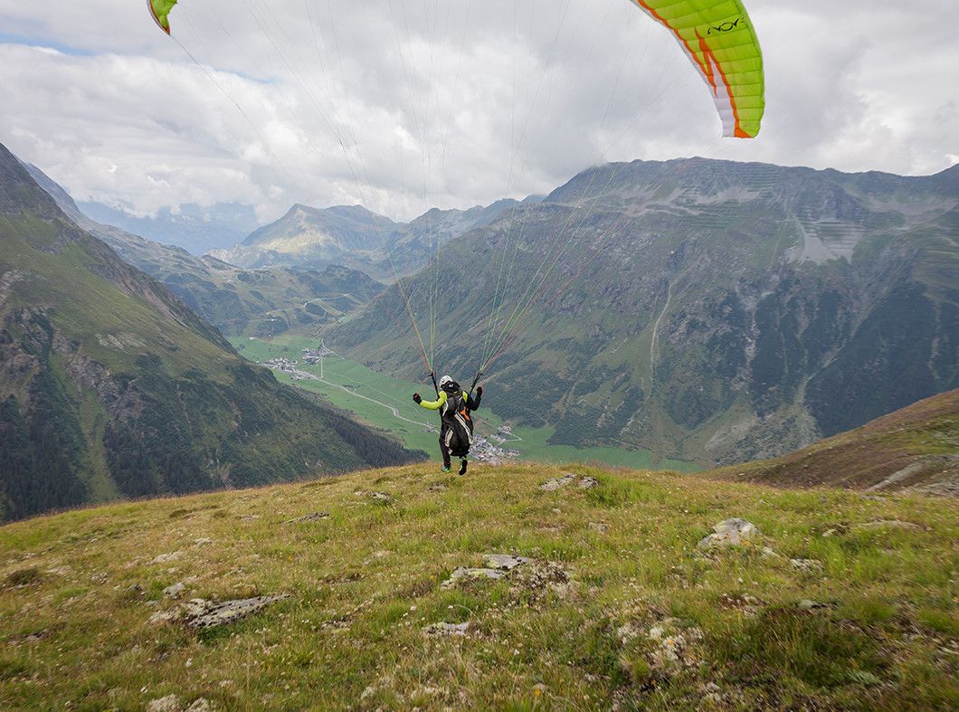
Starting from the village square in Galtür follow the signposts for the sports and cultural centre. This route proceeds past Haus Predigberg, along the edge of the forest toward Predigberg through the forest named after it, Predigbergwald. Here you take a left turn at the fork in the road and finally reach Bödale. This is also a popular starting point for paragliders and provides awonderful view to the east into the valley to Kappl. Return section: Climbs slightly on the road heading in an easterly direction to Vergiel up to Stafali Pond. Take the altitude path back to Galtür.
- Highest point
- 2,235 m
- Endpoint
-
Galtür village square
- Ticket material
-
TVB Paznaun-Ischgl Infobüro Galtür
- Directions
-
With the bus to Galtür village square. By car to Galtür center, close to the village square to the parking place Arzthaus
- Parking
-
parking place Arzthaus


Trail conditions
-
Paznaun - Ischgl
984
-
Galtür
252