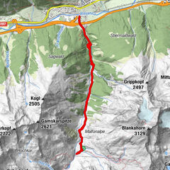
Tour data
10.55km
1,818
- 2,000m
348hm
353hm
03:00h
- Difficulty
-
easy
- Rating
-
- Starting point
-
Gasthof Zeinisjoch
- Route
-
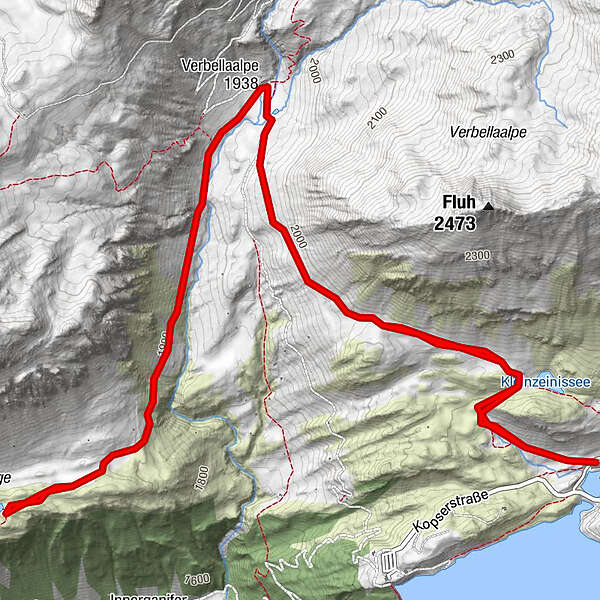
Alpengasthof ZeinisjochAlpe Verbella2.8 kmAlpe Verbella7.5 kmAlpengasthof Zeinisjoch10.4 km
- Description
-
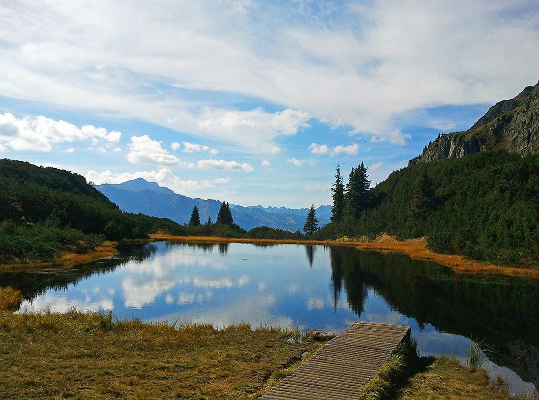
By car (toll-free) or bus you are able to get to the Gasth of Zeinisjoch. The route then climbs slightly uphill to ward Heilbronner Hütte. After Verbella Alpe follow the mountain trail on the left until you reach your destination, the deep blue Wiegensee, which invites you to enjoy a leisurely stop-off with its rest areas and wide footbridge. Return section: Same route for the returnleg.
- Highest point
- 2,000 m
- Endpoint
-
Gasthof Zeinisjoch
- Rest/Retreat
-
Gasthof Zeinisjoch Verbella Alpe
- Ticket material
-
TVB Paznaun-Ischgl Infobüro Galtür
- Directions
-
By car or bus to the Gasth of Zeinisjoch.
- Parking
-
Gasthof Zeinisjoch

GPS Downloads


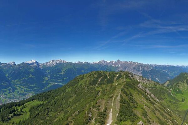
Trail conditions
Asphalt
Gravel
Meadow
Forest
Rock
Exposed
Other tours in the regions
-
Klostertal
1788
-
Gaschurn - Partenen
355