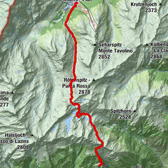
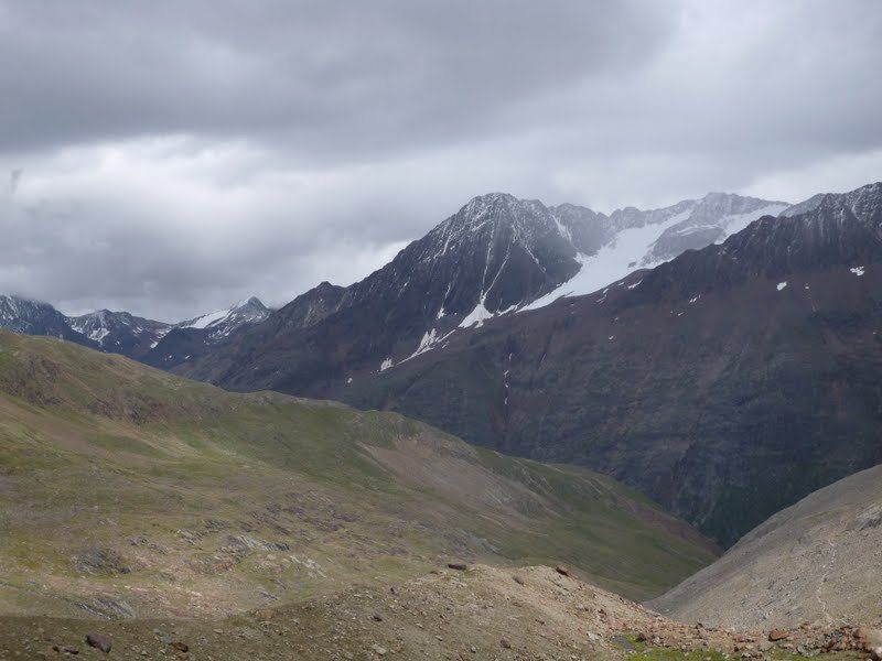
Tour data
6.79km
1,893
- 2,821m
912hm
04:00h
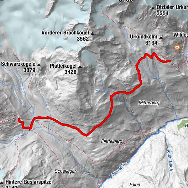
- Rating
-
- Starting point
-
Vernagt hutte
- Route
-
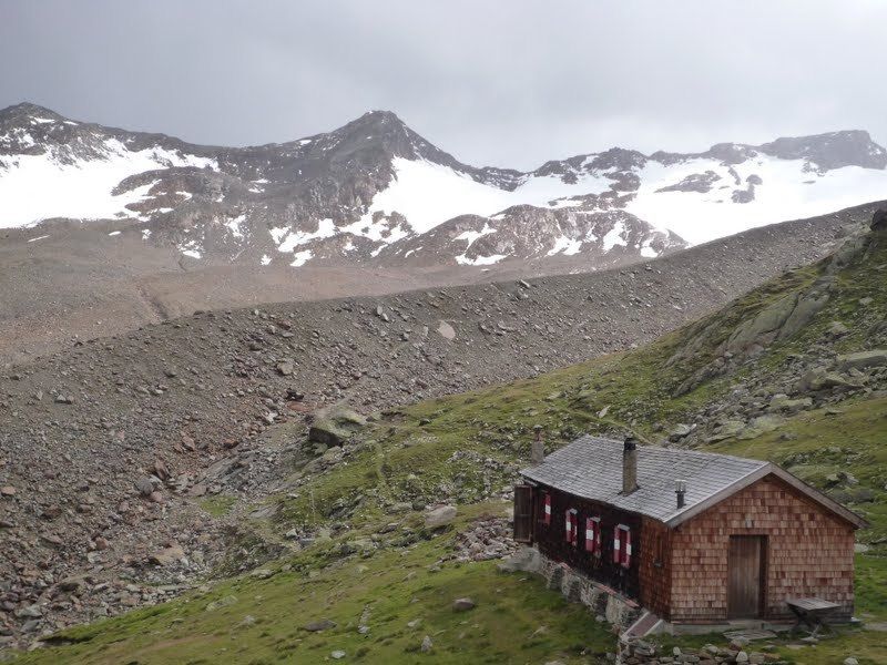
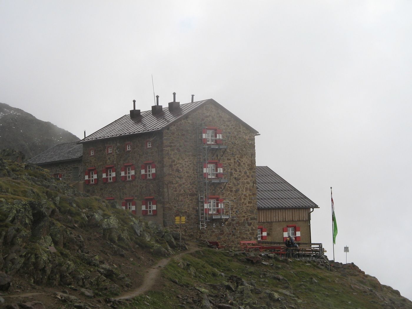
Breslauer Hütte6.7 km
- Highest point
- 2,821 m
- Ticket material
-
AV 30/6

GPS Downloads


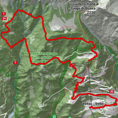
Other tours in the regions
-
Vinschgau
1290
-
Schnalstal
595
-
Vent
293