Picasa


Picasa

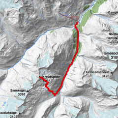
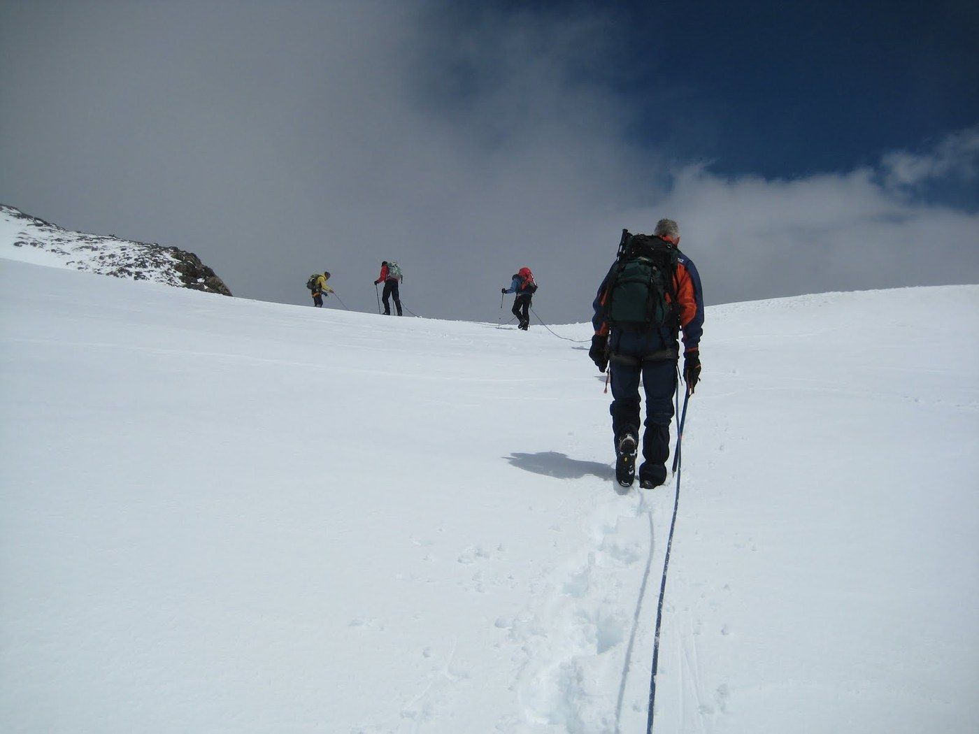
Tour data
5.74km
2,748
- 3,455m
948hm
05:00h

- Rating
-
- Starting point
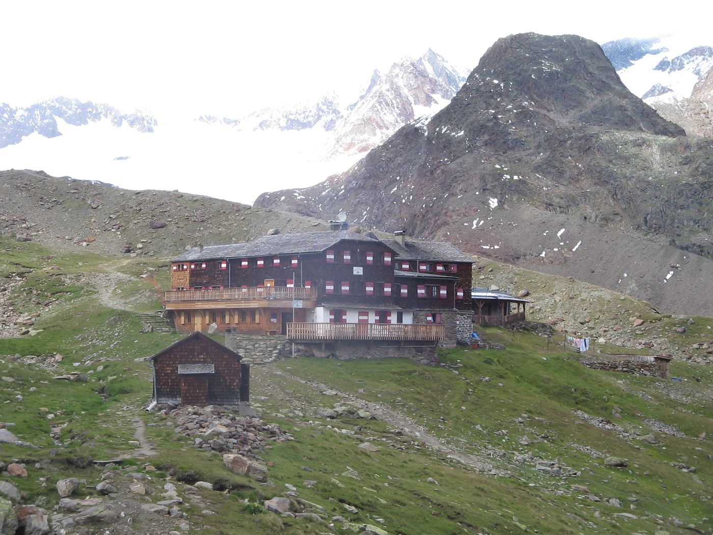
-
Brandenburger Haus.
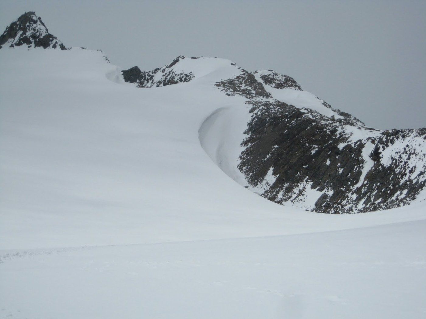
- Route
-
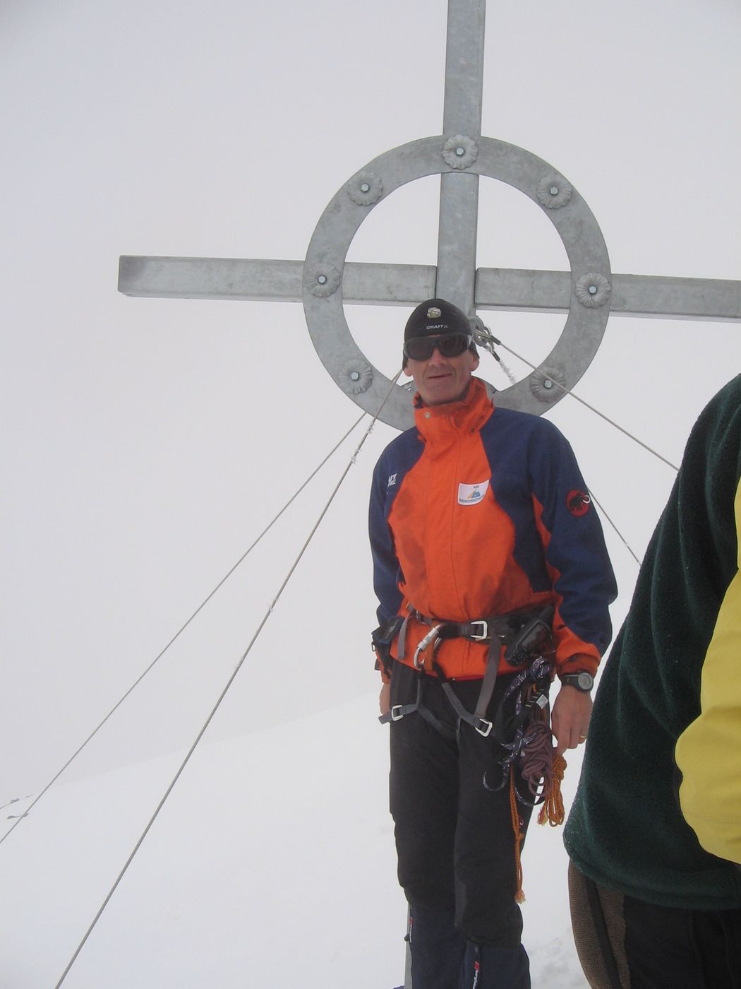
Brandenburger Haus0.0 kmFluchtkogel (3,494 m)2.3 kmOberes Guslarjoch (3,316 m)2.8 km
- Highest point
- 3,455 m
- Ticket material
-
AV 30/2
GPS Downloads


Other tours in the regions
-
Vinschgau
1285
-
Schnalstal
596
-
Kaunertaler Gletscher
109