© Michael Kleinsasser
© Michael Kleinsasser

© Michael Kleinsasser

© Michael Kleinsasser
© Michael Kleinsasser
© Michael Kleinsasser
© Michael Kleinsasser
© Michael Kleinsasser
© Michael Kleinsasser
© Michael Kleinsasser
Tour data
18.2km
1,410
- 3,017m
1,850hm
1,850hm
07:50h
- Brief description
-
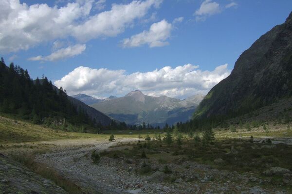
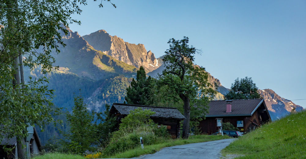
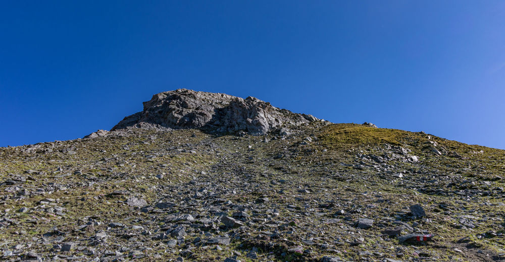
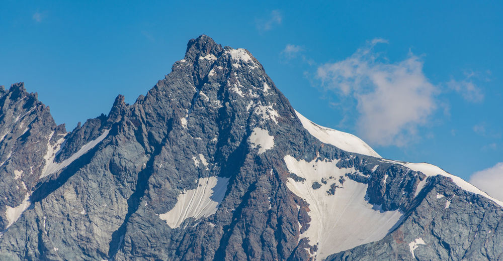
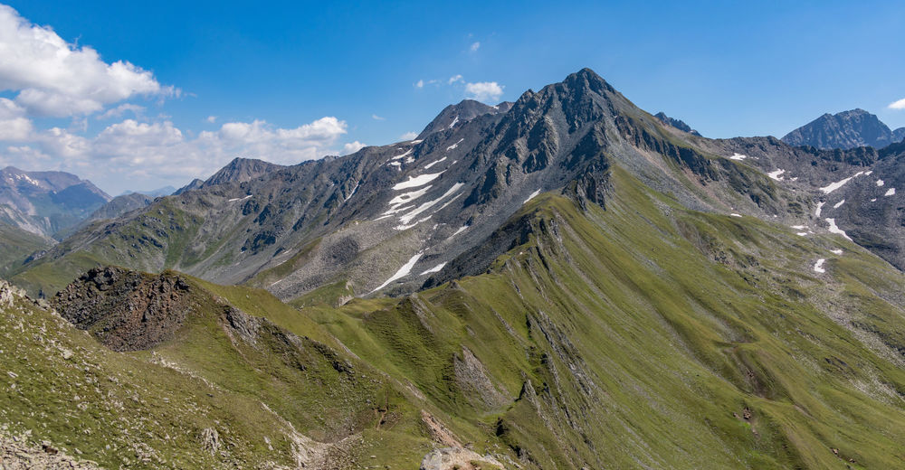
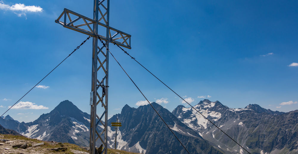
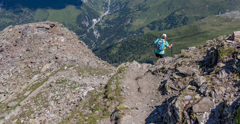
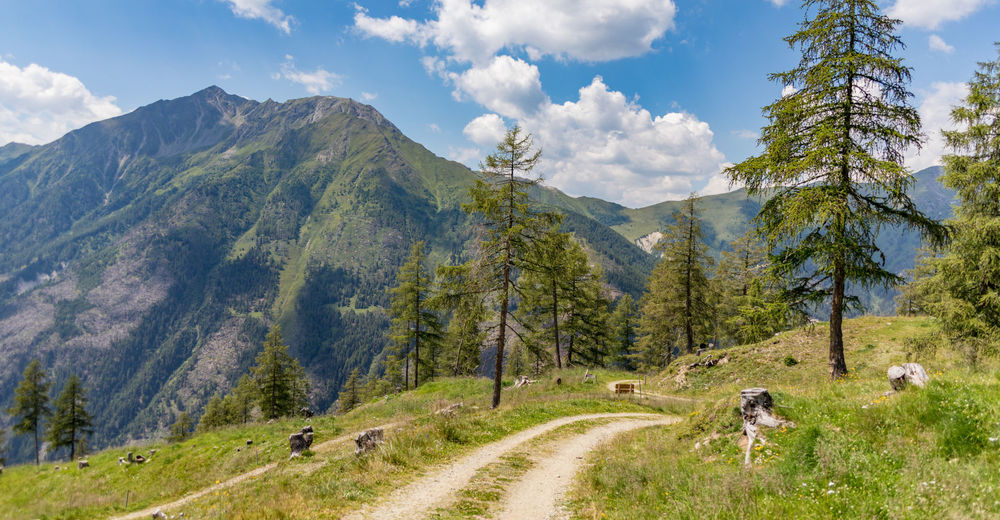
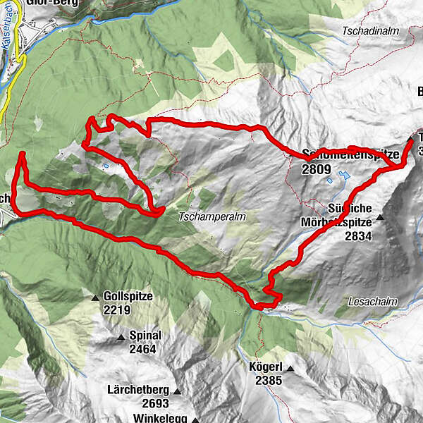
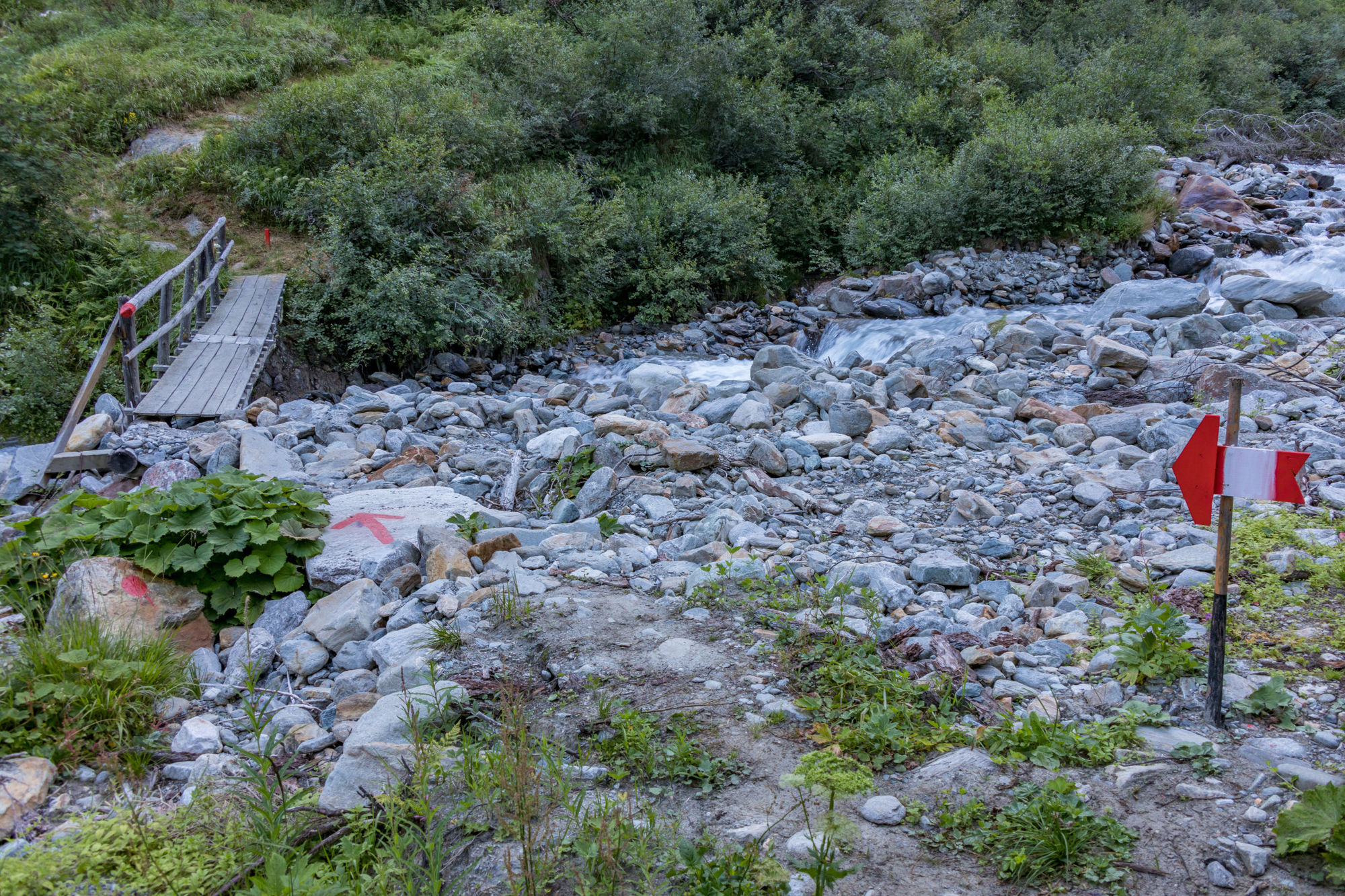
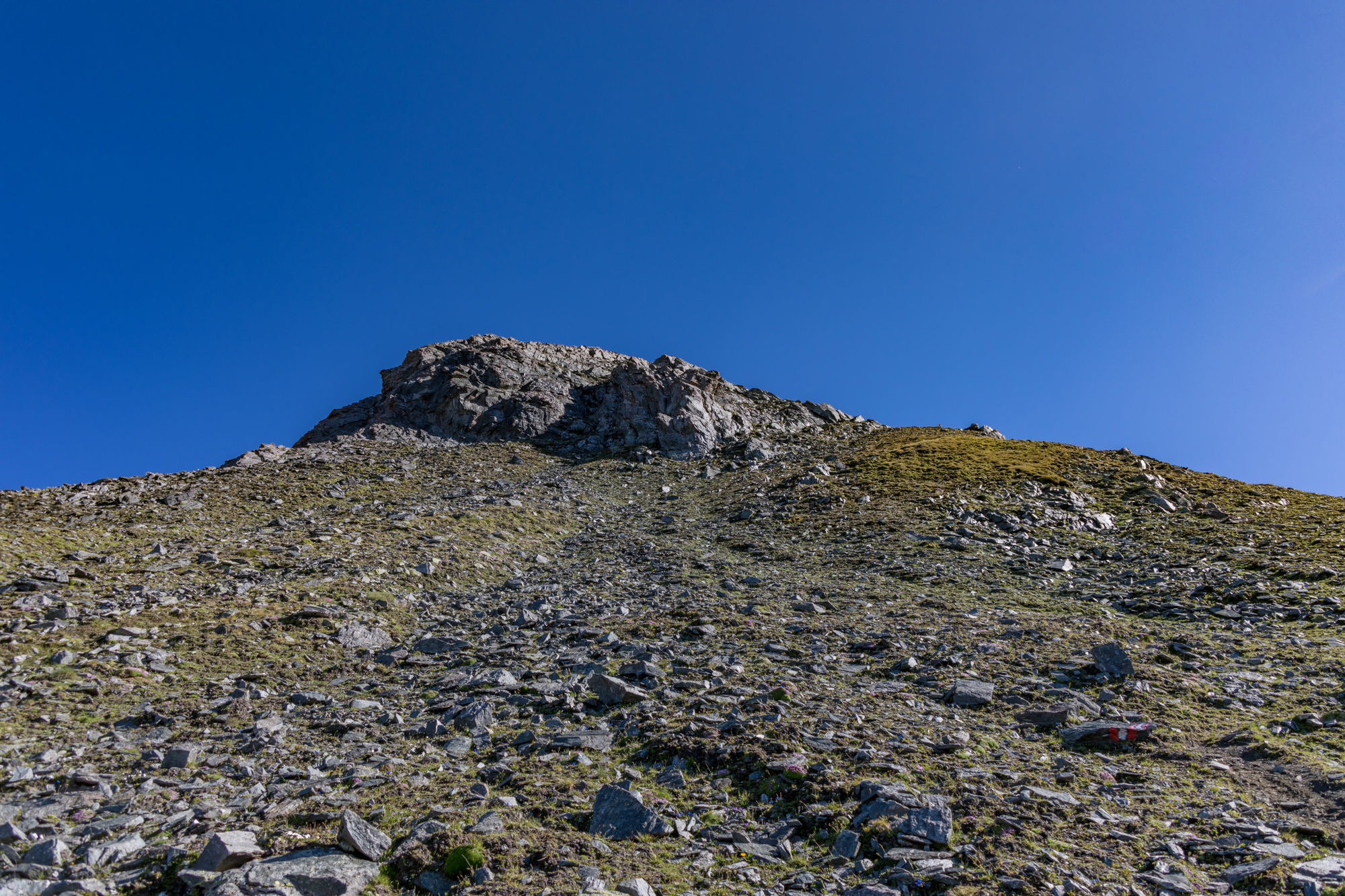
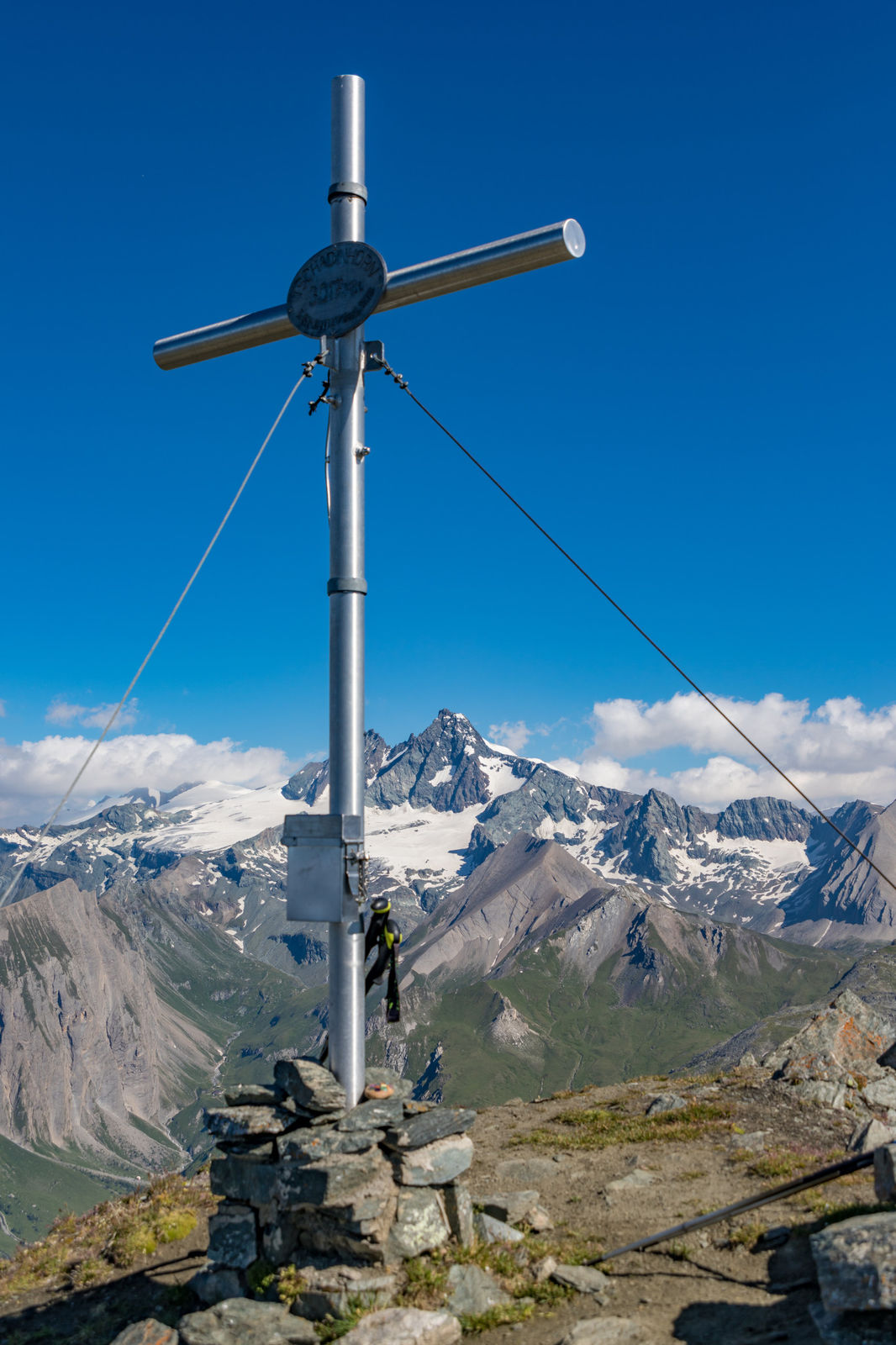
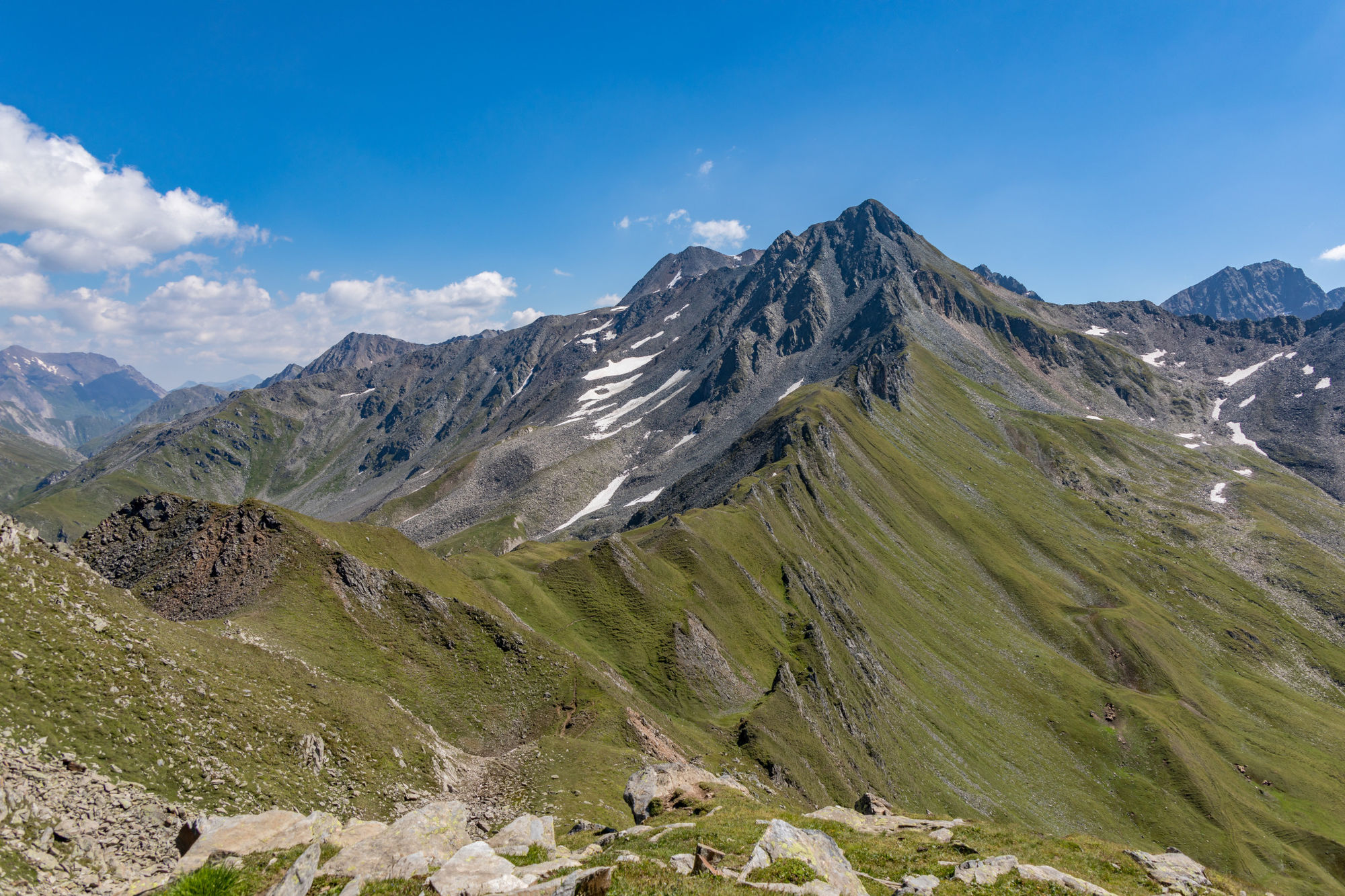
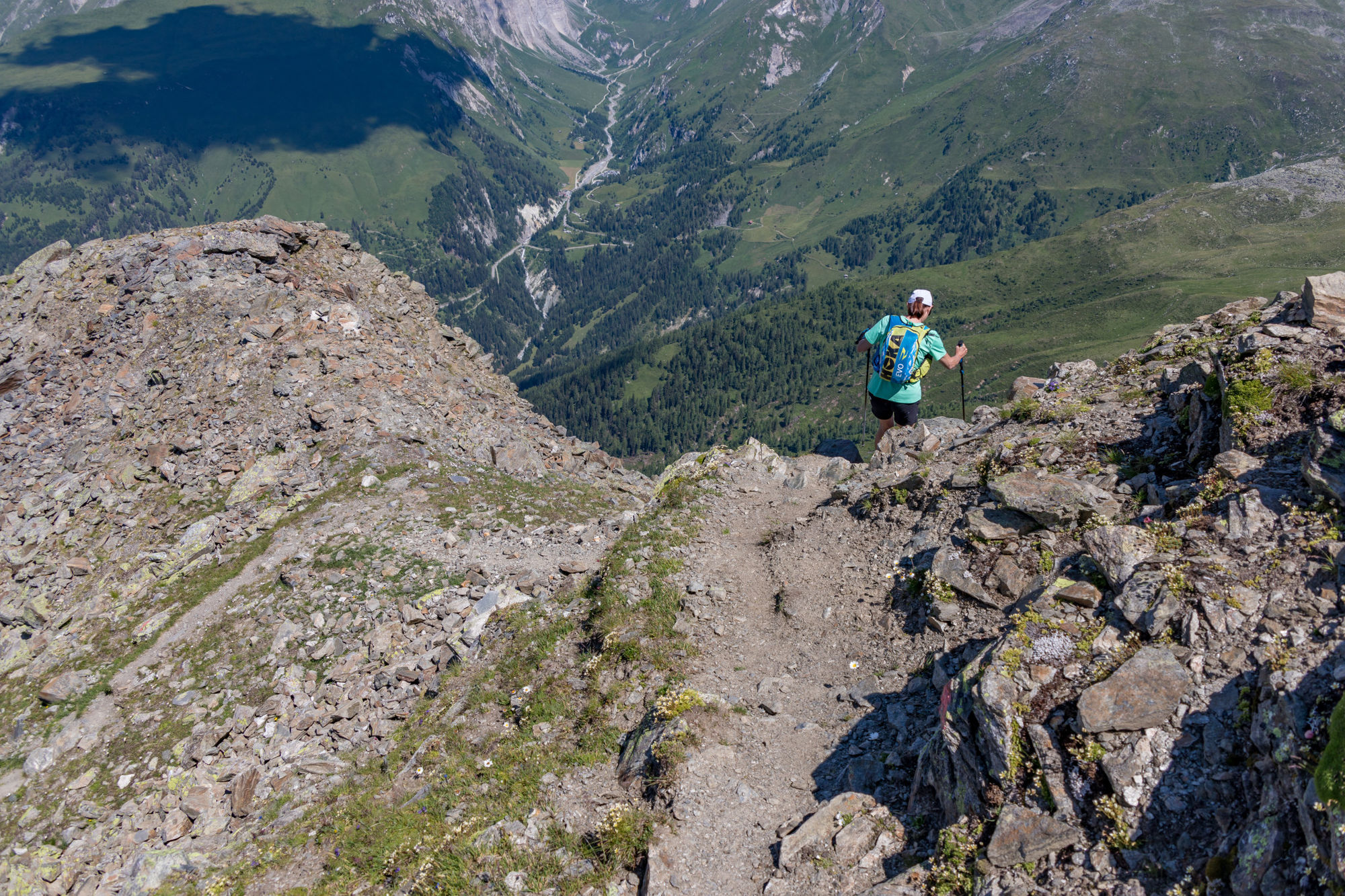
Ausgehend von Lesach, Oberlesach Parkplatz (3 Euro) durchs Lesachtal aufs Tschadinhorn (schwarz) 3017m und weiter (nicht markierte Strecke) zur Schönleitenspitze. Dann über den Lesach-Riegel runter und angenehm zurück zum Parkplatz.
- Difficulty
-
difficult
- Rating
-
- Starting point
-
Parkplatz Oberlesach
- Route
-
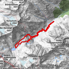
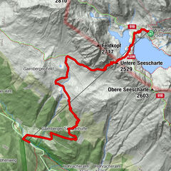
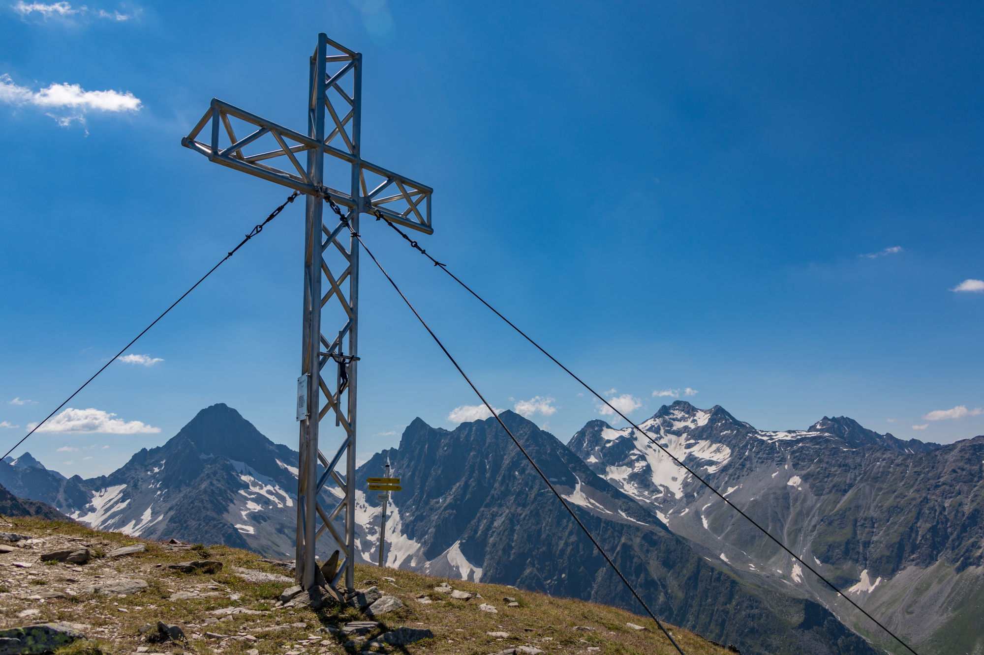
Lesach (1,319 m)0.0 kmOberlesach0.1 kmLesachhütte3.6 kmTschadinhorn (3,017 m)7.6 kmSchönleitenspitze (2,809 m)9.8 kmLesachriegel (2,200 m)11.6 kmLesachriegel-Hütte12.1 kmMarienkapelle16.3 kmOberlesach18.1 kmLesach (1,319 m)18.1 km
- Best season
-
JanFebMarAprMayJunJulAugSepOctNovDec
- Highest point
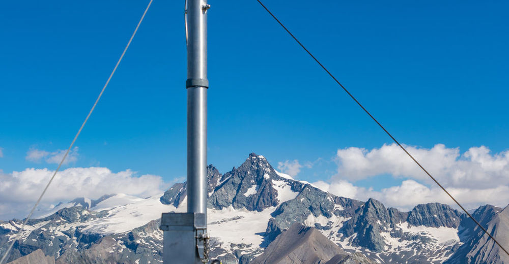
- Tschadinhorn (3,017 m)
- Endpoint
-
Tschadinhorn 3017m und Schönleitenspitze 2810m
- Rest/Retreat
-
Die Hütten am Weg sind nicht öffentlich bewirtschaftet. Bis 2500m Höhe Wasser vorhanden. Einkehr erst in der Ortschaft möglich


- Source
- Mike
GPS Downloads


Trail conditions
Asphalt
Gravel
Meadow
Forest
Rock
Exposed
Other tours in the regions