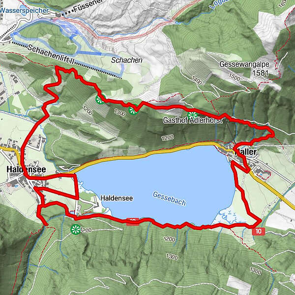
Tour data
8.86km
1,119
- 1,364m
264hm
251hm
02:30h
- Brief description
-
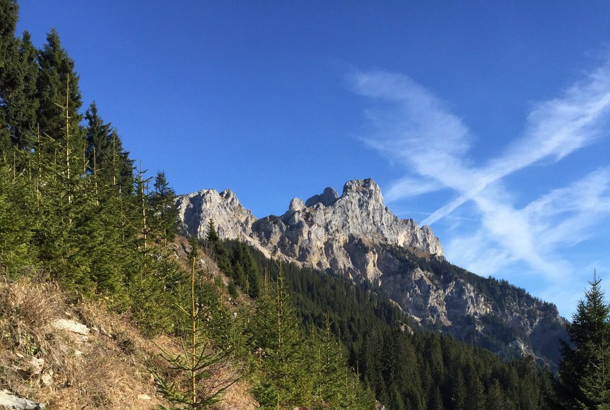
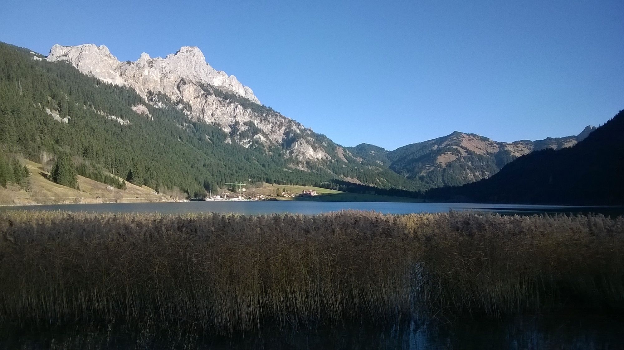
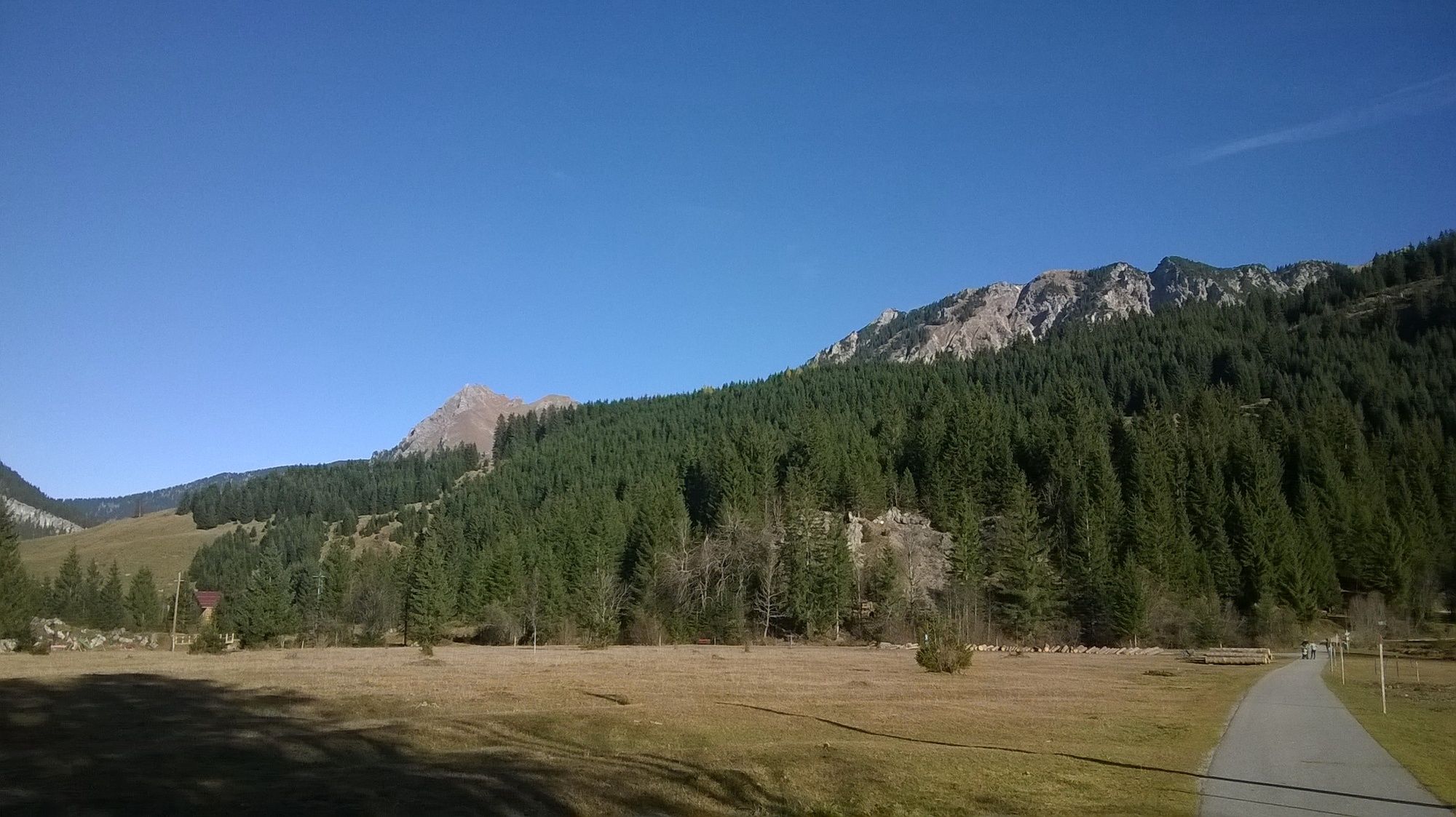
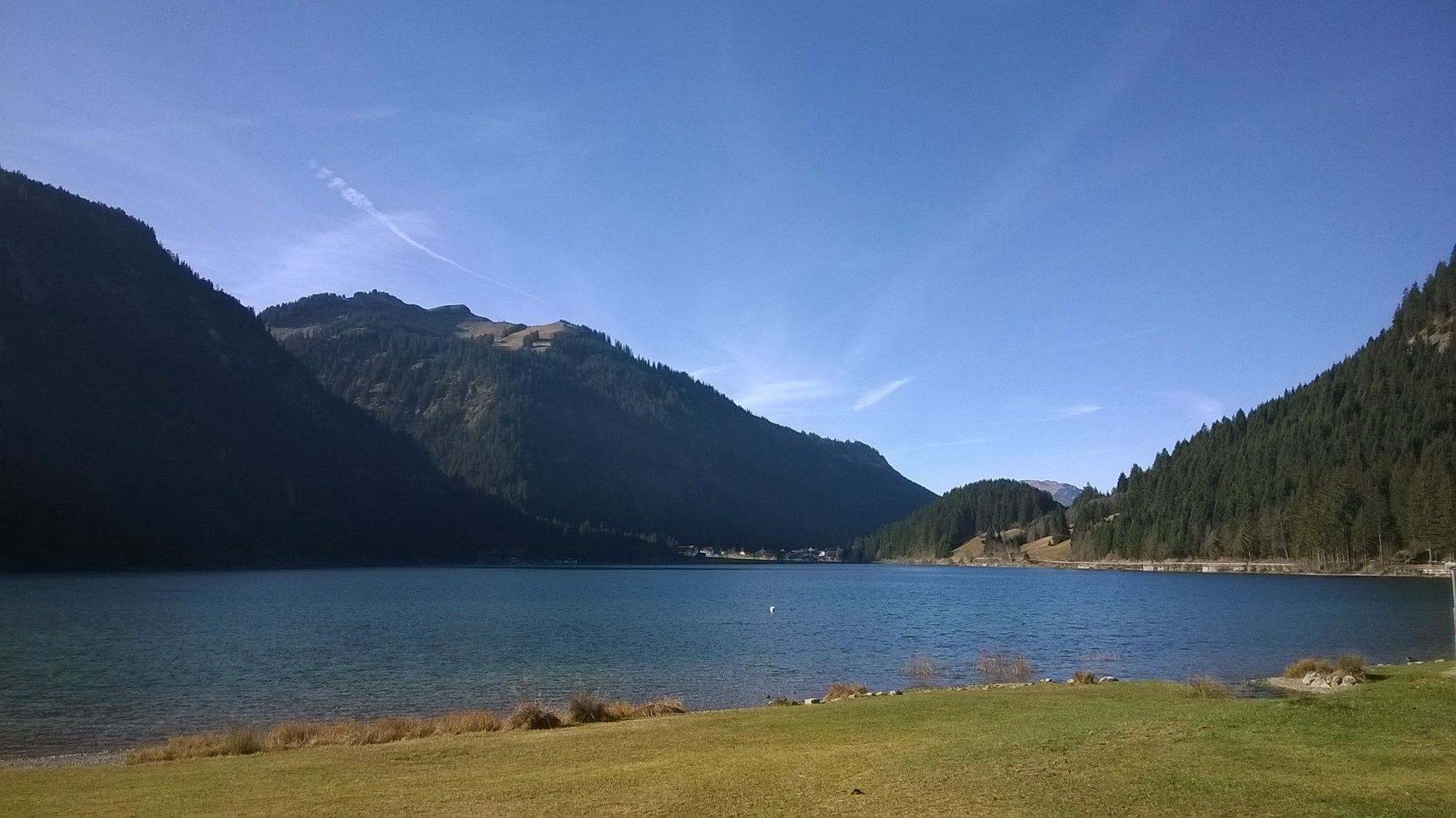
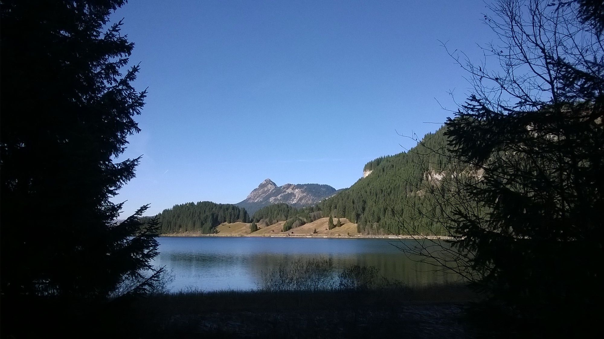
Über den Schachenrücken zum Adlerhorst und am Haldensee zurück
- Difficulty
-
easy
- Rating
-
- Starting point
-
Parkplatz Haldensee (Adlerhorst Seehöhe, 6673, Österreich)
- Route
-
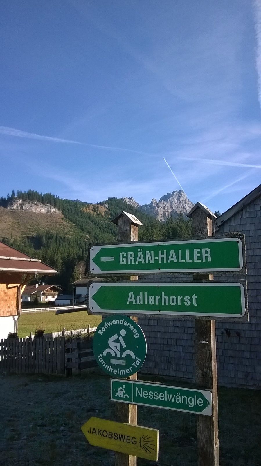
St. Jakobus0.3 kmHaldensee0.4 kmSt. Johannes4.5 kmHaller4.6 kmTauscher's Alm7.4 kmHaldensee8.2 km
- Best season
-
JanFebMarAprMayJunJulAugSepOctNovDec
- Highest point
- Haldensee (Ort) (1,364 m)
- Endpoint
-
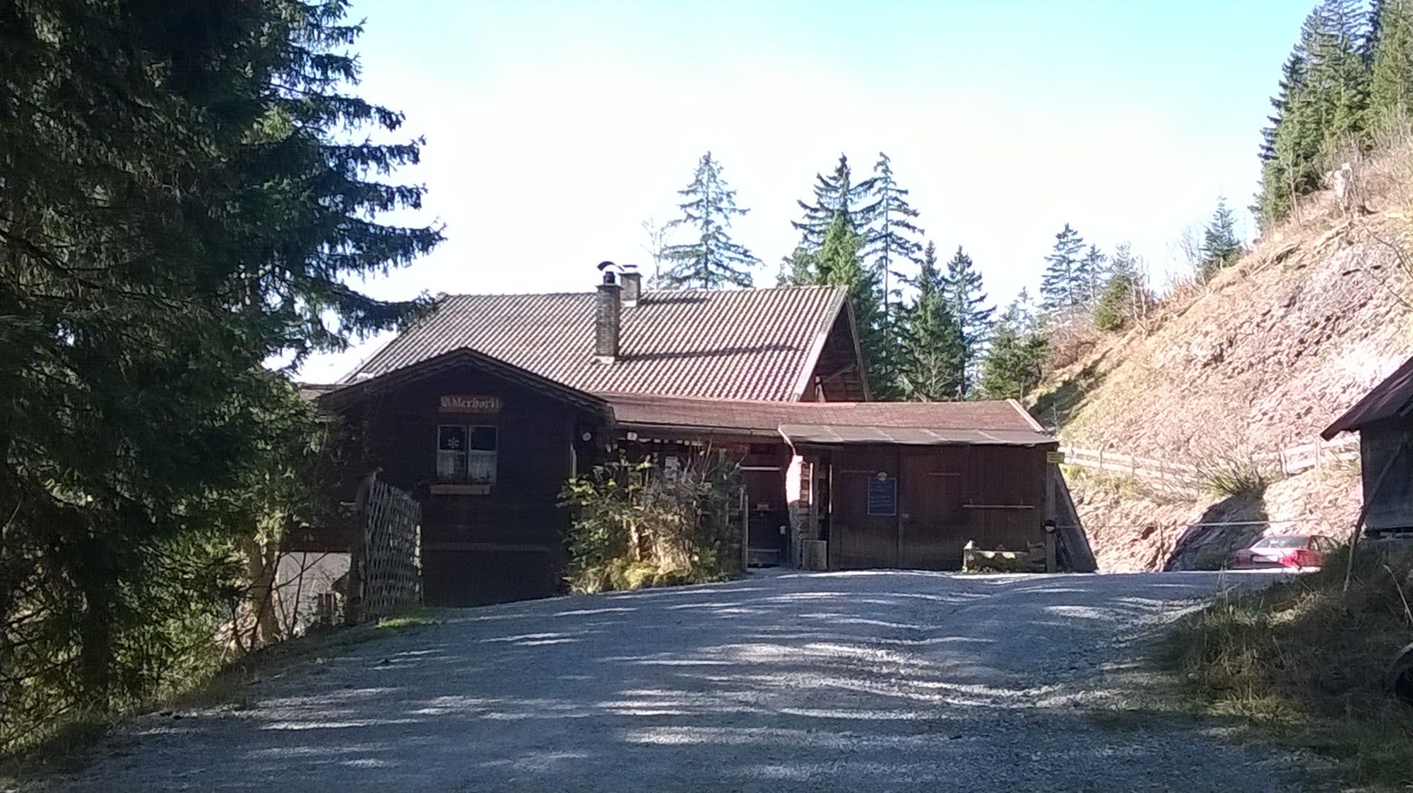
Adlerhorst
- Rest/Retreat
-
Hotel Tyrol (www.tyrol-haldensee.com/)
Gasthaus Adlerhorst (www.adlerhorst-haldensee.at/)
Seecafe
Tauschers Alm (www.tauschers-alm.at/)


GPS Downloads


Trail conditions
Asphalt
(20%)
Gravel
(30%)
Meadow
(10%)
Forest
(40%)
Rock
Exposed
Other tours in the regions
-
Allgäu
2360
-
Tannheimer Tal
1449
-
Grän-Haldensee - Füssener Jöchle
570