Tour data
7.28km
1,942
- 2,055m
223hm
223hm
04:00h
- Brief description
-
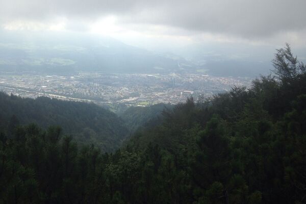
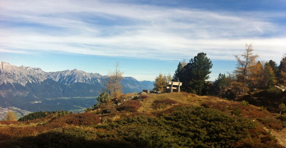
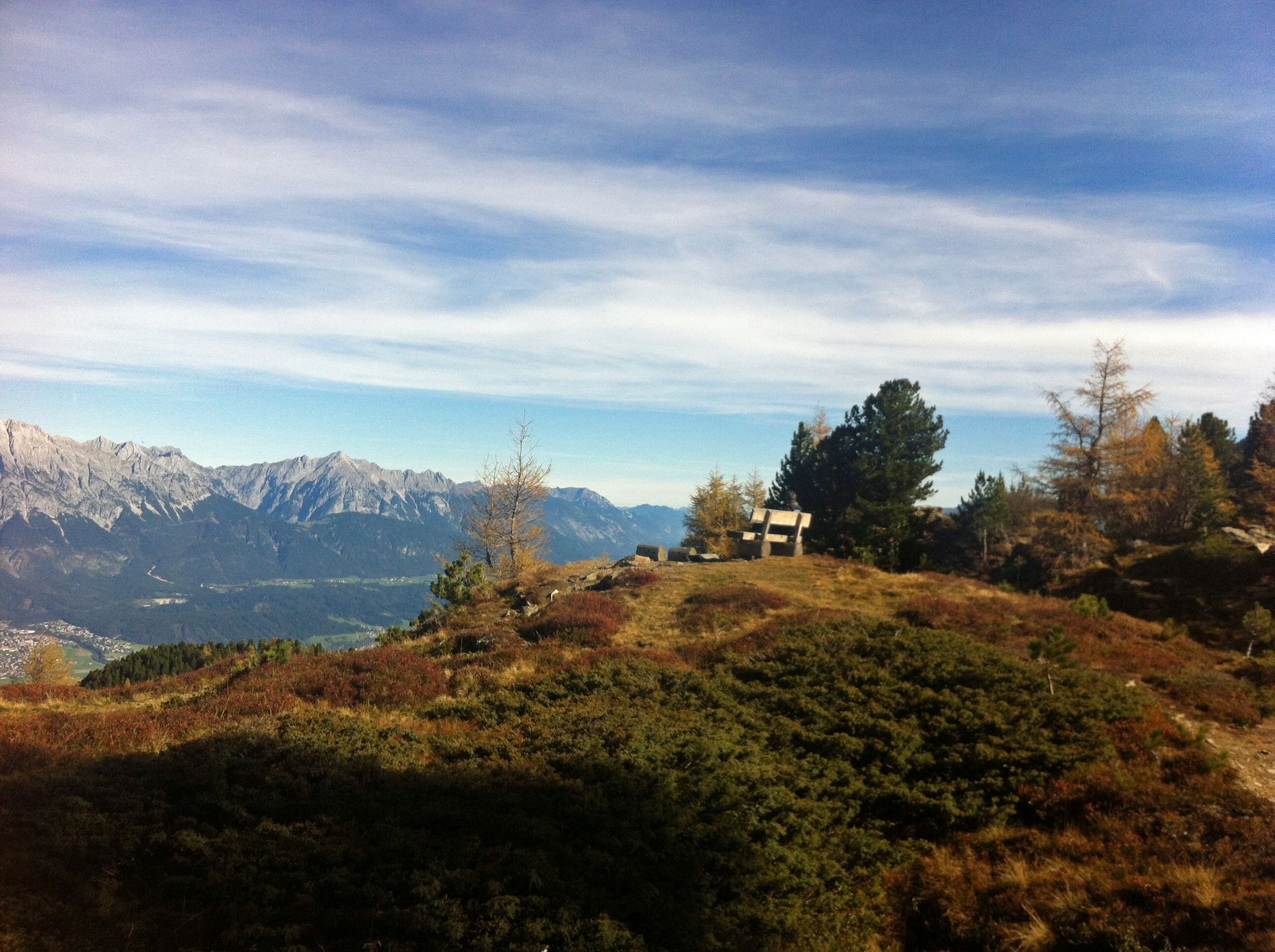
Vom Patscherkofel Bergstation (Innsbruck/Igls) über den Zirbenweg bis zur Tulfeinalm (Tulfes).
- Difficulty
-
medium
- Rating
-
- Route
-
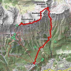
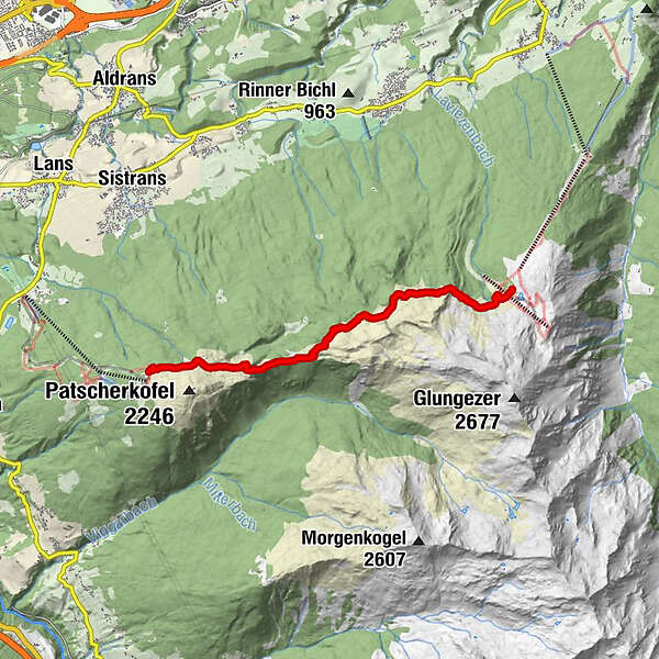
Boscheben2.1 kmKapelle zum guten Hirten6.9 kmTulfein Alm7.2 km
- Highest point
- 2,055 m
- Ticket material
GPS Downloads


Other tours in the regions